Log in
All resources
Create a design
26,489 Free Artworks of Map
eran laor cartographic collection
english-language maps
1858 van de velde maps of palestine and jerusalem
1858 maps
charles william meredith van de velde
maps by willem and johannes blaeu
description de l'universe
alain manesson mallet
maps by alain manesson-mallet
maps in the national library of finland
1858 van de velde maps of palestine and jerusalem
eran laor cartographic collection
1858 van de velde maps of palestine and jerusalem
eran laor cartographic collection
1858 van de velde maps of palestine and jerusalem
eran laor cartographic collection
1858 van de velde maps of palestine and jerusalem
eran laor cartographic collection
1858 van de velde maps of palestine and jerusalem
eran laor cartographic collection
1858 van de velde maps of palestine and jerusalem
eran laor cartographic collection
1858 van de velde maps of palestine and jerusalem
eran laor cartographic collection
1858 van de velde maps of palestine and jerusalem
eran laor cartographic collection
1858 van de velde maps of palestine and jerusalem
eran laor cartographic collection
maps from the earth and its inhabitants, vol. ix
old maps of the holy land
maps in the library of congress
1639 maps of cuba
description de l'universe
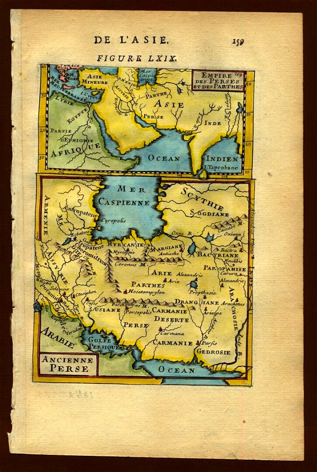
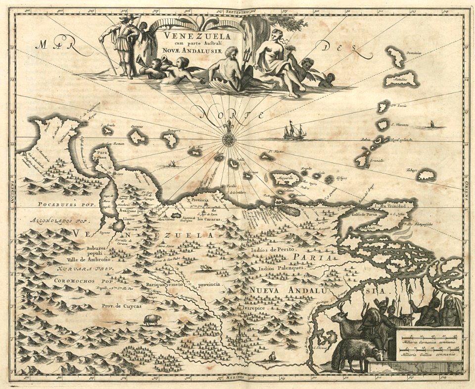
1680s maps of iran
maps by alain manesson-mallet
1683 maps of europe
old maps of the eastern hemisphere
1710s maps of the world
maps by alain manesson-mallet
1719 maps of europe
miniature speed atlas (1627) pieter van den keere
maps of wales by john speed
maps by alain manesson-mallet
1685 maps
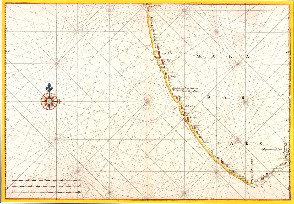
17th-century maps of south asia
maps by alexis-hubert jaillot
maps of lithuania by gerardus mercator
1660s maps of lithuania
maps of la bazouge-de-chemeré
old maps of mayenne
maps of lithuania by gerardus mercator
1630s maps of lithuania
key sheet of the turgot map of paris
maps of paris from paris musées
maps of saxony by gerardus mercator
maps by hendrik hondius the younger
gemeente atlas van nederland - south holland
1860s maps of south holland
nuremberg in the 1650s
baroque
gardens in north rhine-westphalia
romanticism
ambrosio spinola, marqués de los balbases
engravings by jacques callot
1800s maps of the iberian peninsula
maps by john cary
maps of esztergom by braun & hogenberg
hajduks
old maps of north rhine-westphalia
maps of the county of mark
coats of arms on maps
ships on maps
maps of the dutch east india company - india
1665
maps of the west-indische compagnie
1671
maps of cagliari by braun & hogenberg
maps of valletta by braun & hogenberg
maps by emanuel bowen
1747 maps of africa
maps of ottoman algeria
old maps of algiers
maps in the british museum
georg friedrich schmidt
17th-century maps of cornwall
maps in the british museum
maps by jean-baptiste bourguignon d'anville
solomon boulton
18th-century maps of edinburgh-shire
maps of scotland by herman moll
1696 maps of the caribbean
1690s maps of mexico
kolk (rotterdam)
baroque
st. helena - a physical, historical, and topographical description of the island (1875) by melliss
maps from the mechanical curator collection
1809 maps of saxony-anhalt
1809 maps of saxony
18th-century maps of the mediterranean sea
english-language maps
maps of polders in south holland
old maps of the hague
maps of paradise by mercator-hondius
cartouches by gerardus mercator
maps by willem and johannes blaeu
old maps of schoonhoven
coats of arms of cities in nièvre
andré dupin
europa prima pars terrae in forma virginis
classicism
maps by girolamo porro
liburnia
maps from the earth and its inhabitants, vol. x
1890s maps of egypt
old maps of bristol
maps by john rocque
david rumsey historical map collection
maps of rügen by eilhard lubinus
maps from the earth and its inhabitants, vol. xii
africa in the 1890s
maps from the earth and its inhabitants, vol. xii
africa in the 1890s
maps of tunis and la goleta by braun & hogenberg
maps by willem and johannes blaeu
maps from the earth and its inhabitants, vol. xii
africa in the 1890s
media from the national library of finland
classicism
media from the national library of finland
classicism
dutch 18th-century paintings in the rijksmuseum amsterdam
august christian hauck
geneviève brossard de beaulieu
jean-françois de la pérouse
historisk atlas (stockholm, norstedt & söner, 1880)
maps of 14th-century europe
1580s maps of the world
1589 maps
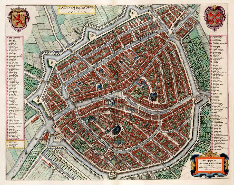
old maps of leiden
atlas van loon
old maps of gelderland
old maps of zutphen
situs terrae promissionis by christian van adrichom
christian van adrichem
siege of győr (1598) in art
1602 books
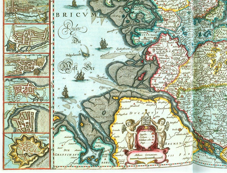
nova & accurata ducatuum slesvici et holsatiae tabula
old maps of neuwerk
bird's eye view of knoxville, tennessee, 1886
maps in the library of congress
gemeente atlas van nederland - south holland
1860s maps of south holland
map of italy by guillaume delisle (1700)
eran laor cartographic collection
algeria in the 1880s
old maps of algeria
old maps of languedoc
1631 maps
old maps of the caucasus
the frosty caucasus
maps from the earth and its inhabitants, vol. xii
africa in the 1890s
maps of rotterdam by berckenrode
maps of haringvliet (rotterdam)
maps of cusco by braun & hogenberg
eran laor cartographic collection
16th-century maps of london
maps of old london (book)
maps of mons (hainaut) by braun & hogenberg
eran laor cartographic collection
maps of konstanz by braun & hogenberg
eran laor cartographic collection
maps from the earth and its inhabitants, vol. x
1890 maps of africa
16th-century maps of london
maps of old london (book)
maps of lisbon by braun & hogenberg (1572)
eran laor cartographic collection
16th-century maps of london
maps of old london (book)
john rocque 1746 london map (a1-h3)
st george's fields, southwark
illustrations from two years' vacation by léon benett
maps of fictional islands
old maps of algiers
maps from gallica
john rocque 1746 london map (216 parts)
molly house
john rocque 1746 london map (a1-h3)
john rocque's map of london, 1746
turgot map of paris, kyoto university library – derivative files
maps of palais de l'élysée
1700s maps of the world
le neptune francois
old maps of schagen
maps of zijpe
maps of ghent by braun & hogenberg
moll's map collection
atlas van der hagen (volume 4)
atlas van der hagen
maps of the west-indische compagnie
1705
maps of aa en hunze
anloo
maps by jean-baptiste bourguignon d'anville
maps by isaak tirion
portolan charts made in the 17th century
maps by willem and johannes blaeu
map of amsterdam by julius milheuser after daniël stalpaert, 1662
maps in the stadsarchief amsterdam
3301 - 3400 of 26,489
Next page
/ 265

![[Map of the complete island of Cuba]., Johannes Vingboons, 1639](https://cdn.creazilla.com/illustrations/6627474/map-of-the-complete-island-of-cuba-loc-2003623399-illustration-sm.jpeg)