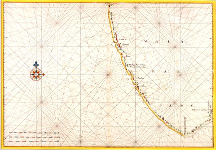
Map of the Malabar coast, Johannes Vingboons, circa 1665
Title in the leupe catalogue (na): kaart van de kust van malabaar van omtrent cochim tot kaap comorijn. Particulars: the map is part of the vingboons atlas. The map has been mounted in a passe-partout. Date: circa 1665. Dimensions: height: 68.5 cm (26.9 in); width: 47 cm (18.5 in). Medium: coloured drawing on paper. Collection: Nationaal Archief. AMH-5623-NA Map of the Malabar coast