Log in
All resources
Create a design
344 Free Artworks of Decorated Maps
paper
british museum
drawings in the museu antônio parreiras
map - museu antônio parreiras
antônio parreiras
british library
john rocque 1746 london map in the british museum
john rocque
bl maps k.top.124 (south america)
bl18c pilot
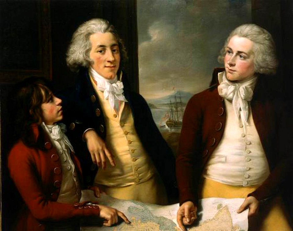
18th-century portrait paintings in the national maritime museum, london
john francis rigaud
robert wallis (engraver)
henry warren
maps by nicolaes visscher i
prints by nicolaes berchem
lawrence h. slaughter collection of english maps, charts, globes, books and atlases
maps of nieuw nederland
1850s maps of ontario
maps by john tallis
old maps of the new kingdom of granada
17th-century maps of guyana
old maps of french guiana
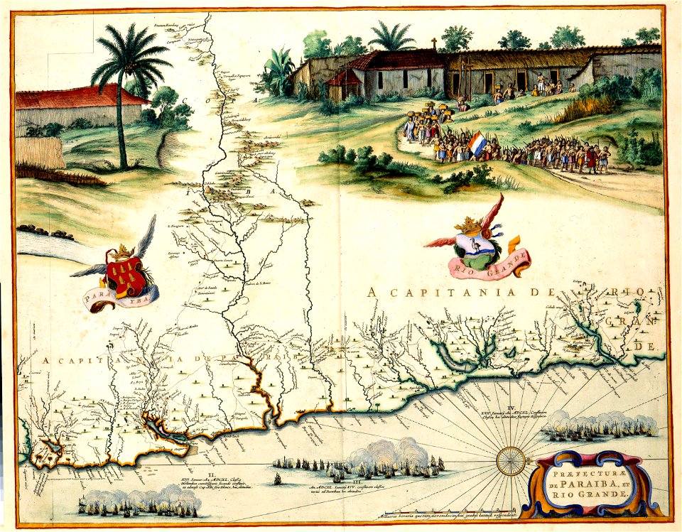
1630s maps of brazil
old maps of svalbard
old maps of iceland
robert wallis (engraver)
henry warren
1850s maps of the americas
maps by john tallis
geneviève brossard de beaulieu
jean-françois de la pérouse
maps by john tallis
maps by john rapkin
maps of america by guillaume delisle (18th century)
1760s maps of the americas
cornell: persuasive cartography: the pj mode collection
1665 maps
18th-century maps of the strait of magellan
1700s maps of argentina
atlas van der hagen (volume 4)
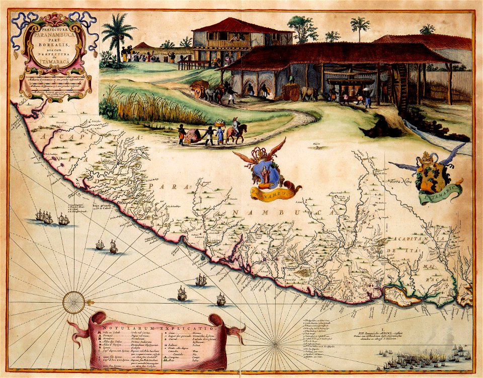
1660s maps of pernambuco
1849 maps of north america
old maps of canada
maps by nicolaes visscher i
old maps of assyria
18th-century maps of the indian ocean
18th-century maps of southeast asia
1790s maps of central america
1790s maps of cuba
18th-century maps of central america
1760s maps of the caribbean
17th-century maps of south america
maps by nicolas sanson
maps by hendrik hondius the younger
1641 maps
victor levasseur - maps of france
old maps of meurthe (department)
1760s maps of ireland
1766 maps
sanson maps of south america
1719 maps of south america
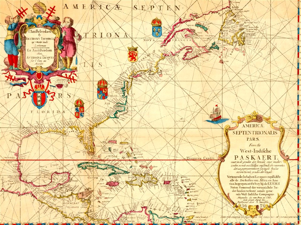
maps of the west-indische compagnie
old maps of dutch brazil
maps by willem and johannes blaeu
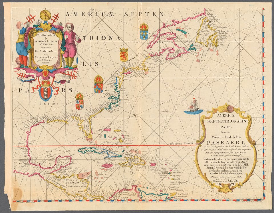
1610s maps of the americas
victor levasseur - maps of france
neoclassicism,romanticism
19th-century maps of nièvre
1852 maps of france
asia noviter delineata
native indonesians
old maps of the amazon river
1700s maps of brazil
1620s maps of north america
1620s maps of the caribbean
1660s maps of pernambuco
1660s maps of brazil
victor levasseur - maps of france
1847 maps
drawings in the museu antônio parreiras
crayon
drawings in the museu antônio parreiras
crayon
atlas van der hagen (volume 2)
1680s maps of the netherlands
1640s maps of pernambuco
1647 maps of brazil
prints by matteo greuter in the statens museum for kunst
copper
drawings in the museu antônio parreiras
crayon
maps by jodocus hondius
1610 maps of europe
maps of paris from the david rumsey historical map collection
map of paris by jouvin de rochefort (boutier 133)
maps in the british museum
jan baptist berterham
old maps of the russian empire
1790s maps of alaska
18th-century maps of the mediterranean sea
1745 maps
1740s maps of the world
maps by emanuel bowen
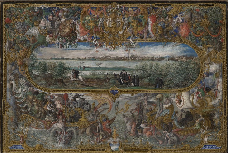
maps and topographical views by joris hoefnagel
drawings by joris hoefnagel
maps of the history of morocco
empire of morocco
19th-century maps of vaucluse
1852 maps of france
old maps of the new kingdom of granada
maps by willem and johannes blaeu
drawings in the museu antônio parreiras
paper and graphite
drawings in the museu antônio parreiras
paper and graphite
drawings in the museu antônio parreiras
paper and graphite
drawings in the museu antônio parreiras
paper and charcoal
drawings in the museu antônio parreiras
paper and charcoal
maps by daniel stoopendaal
biblical maps
lawrence h. slaughter collection of english maps, charts, globes, books and atlases
nypl lionel pincus and princess firyal map division
prints of cartouches in the rijksmuseum amsterdam
maps in the rijksmuseum amsterdam
prints in the british museum
jacob folkema
prints in the british museum
jacob folkema
prints in the british museum
jacob folkema
maps of the malay archipelago by mercator-hondius
maps by willem and johannes blaeu
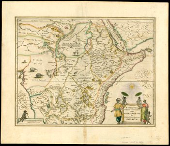
1650s maps of ethiopia
plan de paris levé par les ordres du roy, 1900
proletarian literature
old maps of pyrénées-orientales
1852 maps of france
drawings in the museu antônio parreiras
paper and graphite
drawings in the museu antônio parreiras
paper and graphite
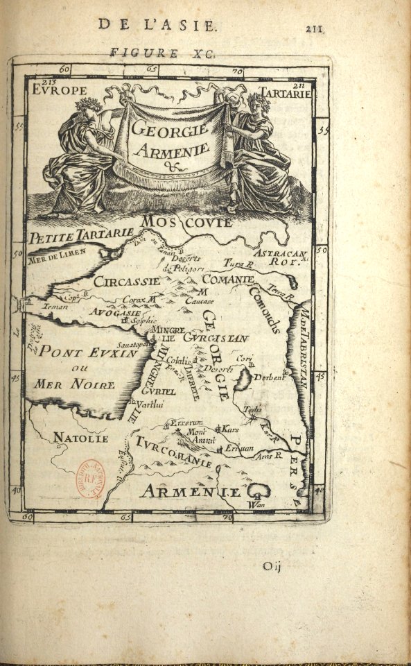
1680s maps of the caucasus
description de l'universe
amérique méridionale (1748, d'anville)
rococo
1740s maps of the united kingdom
maps in the british museum
maps in the british museum
jan baptist berterham
1780s maps of the americas
1786 maps
1620s maps of north america
1620s maps of the caribbean
1620s maps of north america
1620s maps of the caribbean
cartouches by sanson family
pierre mariette i
maps of south asia by mercator-hondius
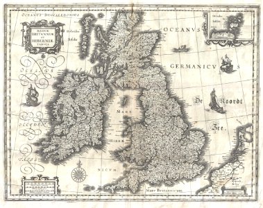
17th-century maps of the british isles
maps by willem and johannes blaeu
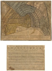
old maps of amsterdam
evert maaskamp
maps by hendrik hondius the younger
1631 maps of africa
maps of paris from the david rumsey historical map collection
maps of paris by caspar merian
maps by nicolaes visscher i
maps by daniel stoopendaal
18th-century portrait paintings in the national maritime museum, london
john francis rigaud
nuovo atlante geografico universale
old maps of southeast asia
lawrence h. slaughter collection of english maps, charts, globes, books and atlases
novi belgii, atlas maior
victor levasseur - maps of france
baroque
maps by richard william seale
1740s maps of south america
1810 maps of north america
1810 maps of mexico
lawrence h. slaughter collection of english maps, charts, globes, books and atlases
1700s maps of north america
old maps of regions of france
pierre françois tardieu
maps by jakob van der schley
old maps of southeast asia
john rocque 1746 london map in the british museum
paper
john rocque 1746 london map in the british museum
paper
john rocque 1746 london map in the british museum
paper
john rocque 1746 london map in the british museum
paper
john rocque 1746 london map in the british museum
paper
john rocque 1746 london map in the british museum
paper
john rocque 1746 london map in the british museum
paper
john rocque 1746 london map in the british museum
paper
john rocque 1746 london map in the british museum
paper
1 - 100 of 344
Next page
/ 4