Log in
All resources
Create a design
96 Free Artworks of 1745 Maps
bibliothèque nationale de france
maps by isaak tirion
maps in the rijksmuseum amsterdam
maps of the west-indische compagnie
isaak tirion
hendrik de leth
john rocque
philippe buache
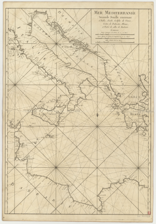
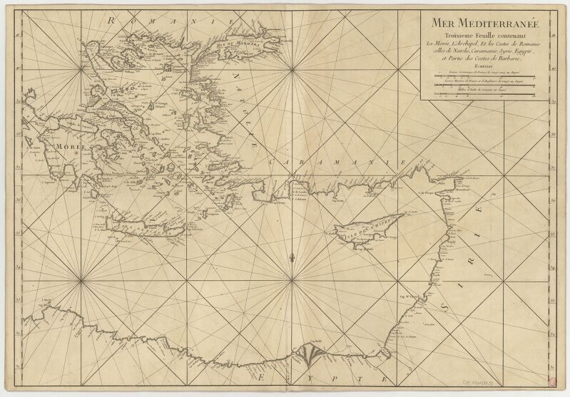
carte de la mer méditerranée en trois feuilles (dheulland et al.)
old maps of kennemerland
prints in the royal collection of the united kingdom
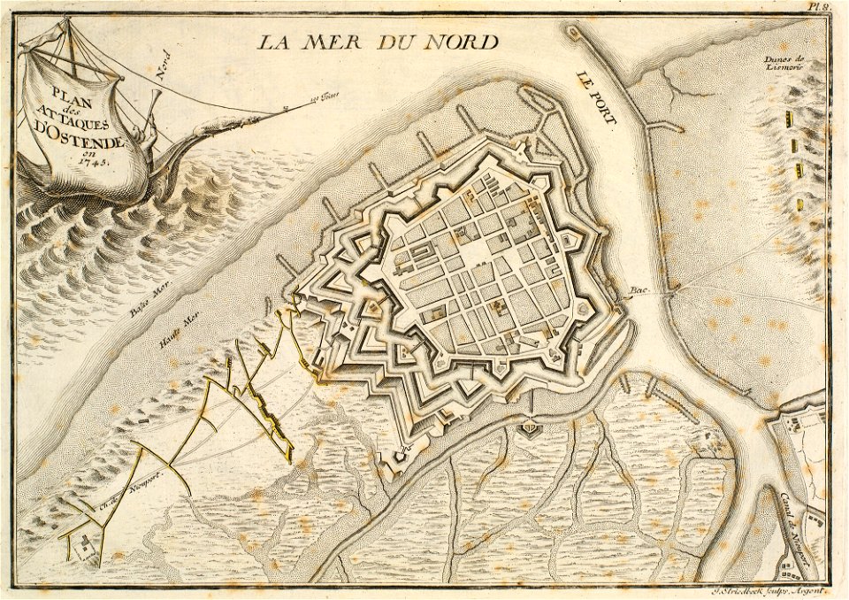
history of ostend
maps of wolfsburg
maps of vorsfelde
old maps of anjouan
1745 maps
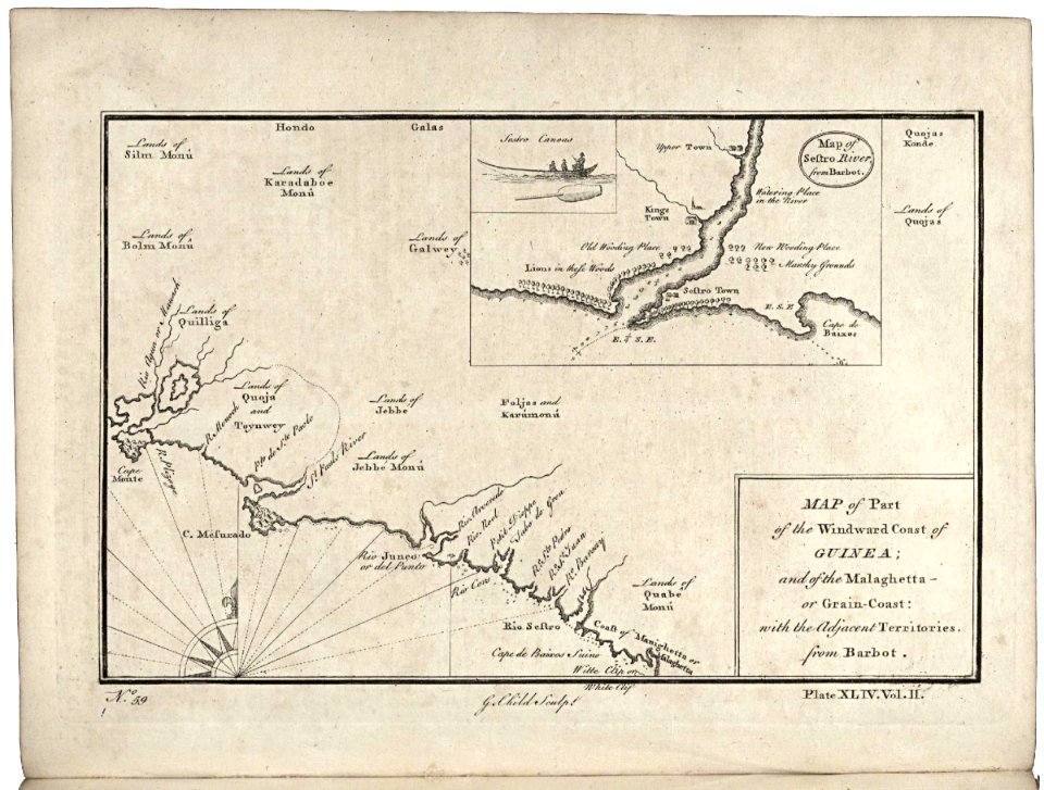
maps of the senegal river
1745
old maps of gorée
1745 maps
maps of the west-indische compagnie
1745
maps of the senegal river
1745
maps of the west-indische compagnie
1745
maps of the west-indische compagnie
1745
maps of the west-indische compagnie
1745
saint-louis region
1745
maps of the west-indische compagnie
1745
maps of the west-indische compagnie
1745
lower silesian voivodeship
old maps of silesia
maps of the dutch east india company - korea
1745
maps of the senegal river
1745
maps by matthäus seutter
city walls in hannover
maps in the stadsarchief amsterdam
engravings by cornelis bogerts
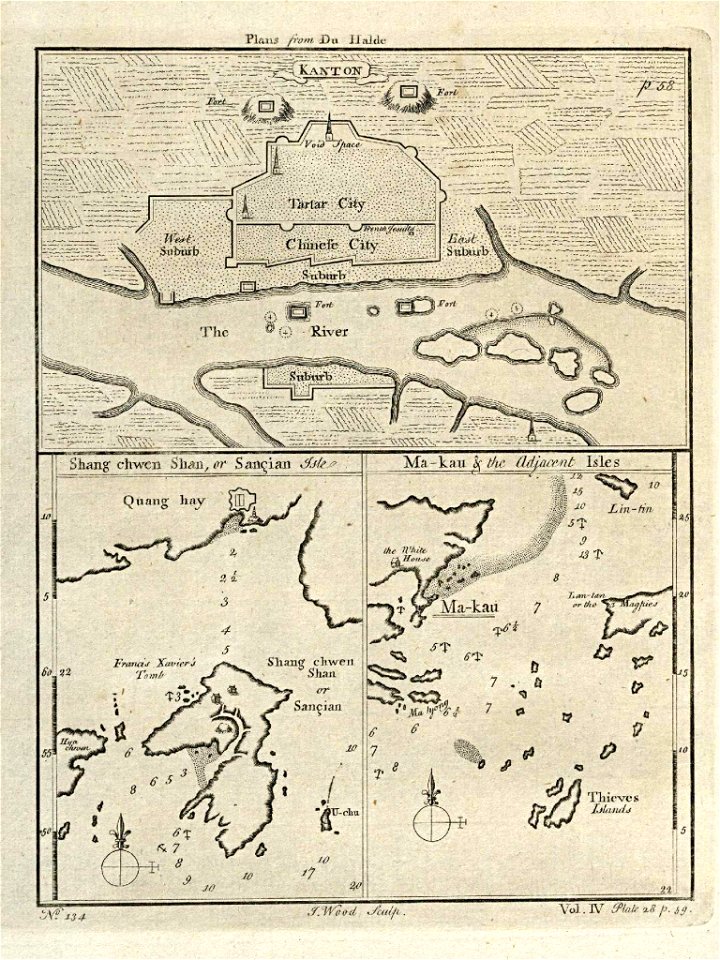
old maps of guangzhou
1745
old maps of guangzhou
1745
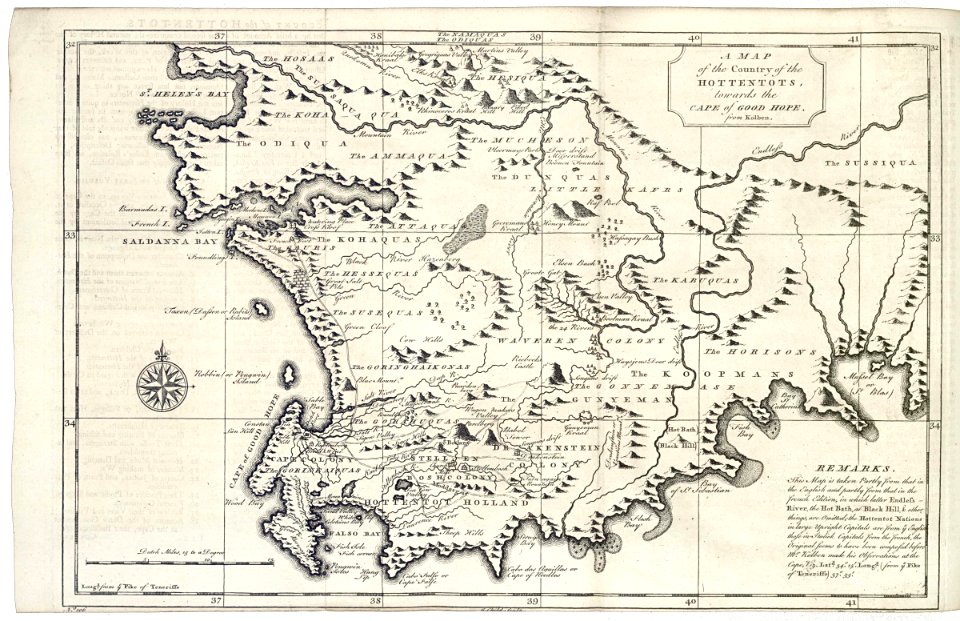
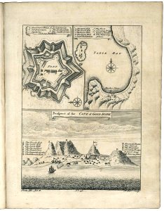
maps of the dutch east india company - south africa
1745
1745
maps of the west-indische compagnie
1745
maps of the west-indische compagnie
1745
west-indische compagnie
1745
maps of the west-indische compagnie
1745
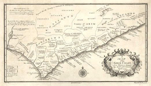
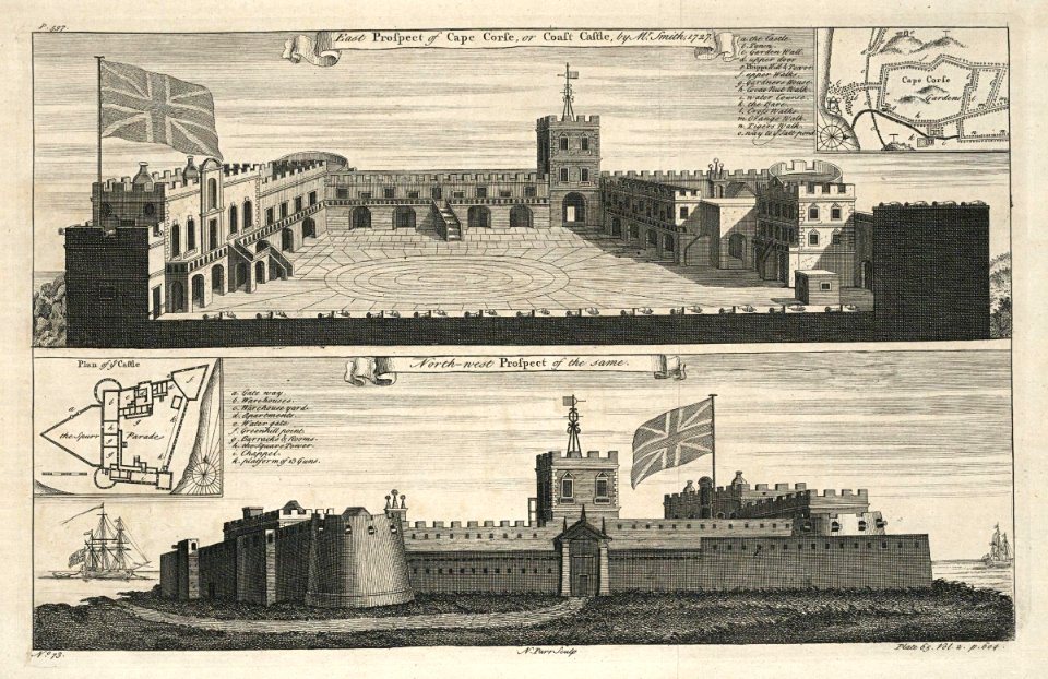
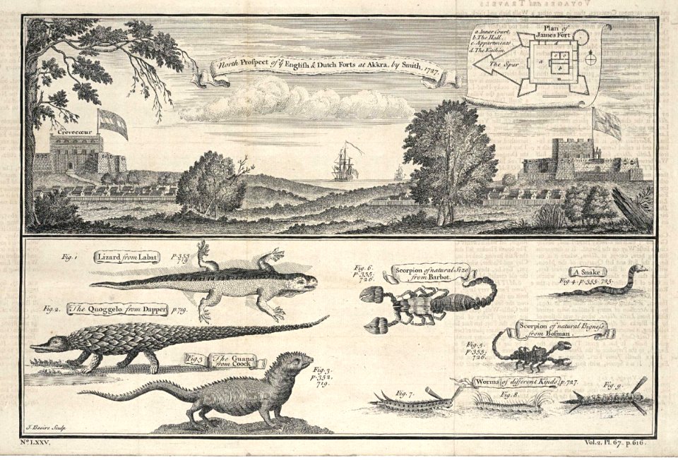
accra
1745
maps of the west-indische compagnie
1745
west-indische compagnie
1745
maps of the west-indische compagnie
1745
old maps of cape town
1745
18th-century maps of antwerp
maps of antwerp city walls
old maps of the london borough of tower hamlets
districts of london
parts of old maps of hamburg
maps of hamburg-sternschanze
maps by guillaume delisle
1745 maps
18th-century maps of the mediterranean sea
1745 maps
john rocque's 1746 map of london
details of old maps of london
media contributed by university of illinois urbana-champaign university library
carte de barbarie, nigritie, guinée par guillaume delisle (1707)
maps in the british museum
georg friedrich schmidt
maps by richard william seale
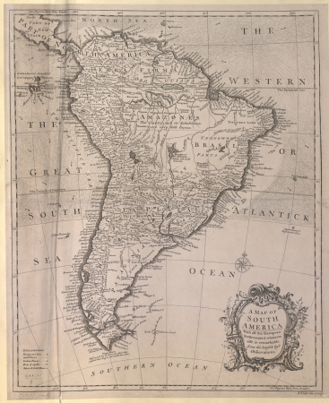
1740s maps of south america
palace of westminster in art
floor plans of palaces
old maps of north holland
maps by isaak tirion
1747 maps of north carolina
maps by emanuel bowen
maps by isaak tirion
old maps of holland
gottfried christian pingeling
1745 maps of hamburg
maps by guillaume delisle showing history
old maps of alexander the great's empire
maps in the british museum
maps of kensington gardens
bodleian maps collection
leo belgicus
maps by thomas kitchin
old maps of scotland
maps in the british museum
georg friedrich schmidt
maps in the british museum
georg friedrich schmidt
maps in the british museum
georg friedrich schmidt
carte de la mer méditerranée en trois feuilles (dheulland et al.)
old maps of the central mediterranean
carte de la mer méditerranée en trois feuilles (dheulland et al.)
18th-century maps of the western mediterranean
carte de la mer méditerranée en trois feuilles (dheulland et al.)
18th-century maps of the eastern mediterranean
maps in the library of congress
cartes et plans de l'amerique
carte de la mer méditerranée en trois feuilles (dheulland et al.)
old maps of the central mediterranean
carte de la mer méditerranée en trois feuilles (dheulland et al.)
18th-century maps of the eastern mediterranean
carte de la mer méditerranée en trois feuilles (dheulland et al.)
18th-century maps of the western mediterranean
maps in the rijksmuseum amsterdam
old maps of brazil
old maps of bologna
gregorio monari
carte de la mer méditerranée en trois feuilles (dheulland et al.)
old maps of the central mediterranean
carte des côtes de malabar et de coromandel (1723)
philippe buache
1740s maps of bavaria
johannes condet
works after cornelis pronk
old maps of arnemuiden
theatrum historium ad annum christi quadringentesinum by guillaume delisle (1705)
1740s maps showing history
theatrum historium ad annum christi quadringentesinum by guillaume delisle (1705)
18th-century maps showing history
etchings in the rijksmuseum amsterdam
maps by isaak tirion
carte du mexique et de la floride by guillaume delisle (1703)
french-language maps of mexico
cartouches by guillaume delisle
philippe buache
maps in the rijksmuseum amsterdam
maps by isaak tirion
maps in the rijksmuseum amsterdam
hendrik de leth
maps in the rijksmuseum amsterdam
hendrik de leth
maps in the rijksmuseum amsterdam
hendrik de leth
etchings in the rijksmuseum amsterdam
maps by isaak tirion
carte de l'isle de ceylan by guillaume delisle (1722)
philippe buache
maps in the rijksmuseum amsterdam
maps by isaak tirion
maps in the stadsarchief amsterdam
engravings by cornelis bogerts
prints of cartouches in the rijksmuseum amsterdam
maps in the rijksmuseum amsterdam
john rocque's 1748 map of london and adjacent country
bibliothèque nationale de france
john rocque's 1748 map of london and adjacent country
bibliothèque nationale de france
john rocque's 1748 map of london and adjacent country
bibliothèque nationale de france
john rocque's 1748 map of london and adjacent country
bibliothèque nationale de france
john rocque's 1748 map of london and adjacent country
bibliothèque nationale de france
john rocque's 1748 map of london and adjacent country
bibliothèque nationale de france
carte de l'afrique françoise par guillaume delisle (1726)
philippe buache
maps in the rijksmuseum amsterdam
hendrik de leth
dutch 18th-century drawings in the rijksmuseum amsterdam
gerrit de broen jr. (1692-1774)
maps in the rijksmuseum amsterdam
hendrik de leth
maps in the rijksmuseum amsterdam
hendrik de leth
prints by claes jansz. visscher (ii) in the rijksmuseum amsterdam
siege of schenkenschans 1636
maps in the rijksmuseum amsterdam
hendrik de leth
maps in the rijksmuseum amsterdam
hendrik de leth
maps in the rijksmuseum amsterdam
hendrik de leth
maps in the rijksmuseum amsterdam
hendrik de leth
maps in the rijksmuseum amsterdam
hendrik de leth
1 - 96 of 96
/ 1


![[Map of the Netherlands as 'Leo Belgicus' by Nikolaus Visscher, 1648], Nicolaes Visscher](https://cdn.creazilla.com/illustrations/10000445798/map-of-the-netherlands-as-leo-belgicus-by-nikolaus-visscher-1648-nicolaes-visscher-md.jpg)