Log in
All resources
Create a design
1,210 Free Artworks of Cartographers
eran laor cartographic collection
map
national library of israel
jodocus hondius ii, nova totius terrarum orbis geographica ac hydrographica tabula, 1636
world map
jodocus hondius ii
collection cartographic documents from het utrechts archief
het utrechts archief
bibliothèque nationale de france
guillaume sanson
18th-century maps of gibraltar
daniel de la feuille
maps by john cary
1811 maps
collection cartographic documents from het utrechts archief
works after abraham rademaker
collection cartographic documents from het utrechts archief
albertus barend hendrik braakensiek
collection cartographic documents from het utrechts archief
albertus barend hendrik braakensiek
1836 maps of africa
ambroise tardieu
1640s maps of pernambuco
1647 maps of brazil
fur garments in art
history of moscow
maps by willem and johannes blaeu
1630s maps of the world
old maps of lyon
simon maupin
henricus hondius ii, nova totius terrarum orbis geographica ac hydrographica tabula, 1630
eran laor cartographic collection
henricus hondius ii, nova totius terrarum orbis geographica ac hydrographica tabula, 1630
eran laor cartographic collection
henricus hondius ii, nova totius terrarum orbis geographica ac hydrographica tabula, 1630
eran laor cartographic collection
henricus hondius ii, nova totius terrarum orbis geographica ac hydrographica tabula, 1630
eran laor cartographic collection
maps of the arctic ocean
atlas novus (blaeu)
maps by willem and johannes blaeu
1617 maps of africa
bibliothèque nationale de france
guillaume sanson
bibliothèque nationale de france
guillaume sanson
bibliothèque nationale de france
guillaume sanson
collection cartographic documents from het utrechts archief
works after abraham rademaker
maps by daniel lizars
1830s maps of belize
1760s maps of ireland
1766 maps
maps by thomas kitchin
old maps of scotland
maps in the library of congress
1610s maps of the world
bibliothèque nationale de france
guillaume sanson
maps in the stadsarchief amsterdam
claes jansz. visscher (ii)
hair fashion in zambia
emil holub
collection cartographic documents from het utrechts archief
albertus barend hendrik braakensiek
1810s maps of the near east
maps by john cary
collection cartographic documents from het utrechts archief
gemeente atlas van nederland - utrecht
collection cartographic documents from het utrechts archief
gemeente atlas van nederland - utrecht
collection cartographic documents from het utrechts archief
drawings by abraham rademaker
cartography and geographical illustrations of the wehrmacht
trondheim in the 1940s
military cartographic institute (prague)
military geography
bibliothèque nationale de france
guillaume sanson
bibliothèque nationale de france
guillaume sanson
house of arenberg
croÿ
galliarum descriptio ex sansonum tabulis editis et manuscriptis excerpta ope animadversionum domni martini bouquet benedictini, et dissertationum domini leboeuf autissiodor. canonici, emendata ab aegidio... - btv1b53227110k
guillaume sanson
1810s maps of the near east
maps by john cary
julius von payer
carl weyprecht
lucas janszoon waghenaer
1588 maps of norway
collection cartographic documents from het utrechts archief
gemeente atlas van nederland - utrecht
jodocus hondius ii, nova totius terrarum orbis geographica ac hydrographica tabula, 1636
eran laor cartographic collection
jodocus hondius ii, nova totius terrarum orbis geographica ac hydrographica tabula, 1636
eran laor cartographic collection
jodocus hondius ii, nova totius terrarum orbis geographica ac hydrographica tabula, 1636
eran laor cartographic collection
jodocus hondius ii, nova totius terrarum orbis geographica ac hydrographica tabula, 1636
eran laor cartographic collection
jodocus hondius ii, nova totius terrarum orbis geographica ac hydrographica tabula, 1636
eran laor cartographic collection
nicolas sanson. “mappe-monde, ou carte generale du monde.”
1667 map of madagascar by guillaume sanson
nicolas sanson. “mappe-monde, ou carte generale du monde.”
map of the bosphorus strait by guillaume sanson (1665)
maps of the siege of cazal (1630)
baroque
illustrations of the exterior of faneuil hall
bowen's picture of boston (1833)
zambia in the 19th century
emil holub
bibliothèque nationale de france
guillaume sanson
emil holub
zambia
maps by pieter mortier
indochina
1740s maps of the world
maps by emanuel bowen
16th-century maps of the persian gulf
16th-century maps of the red sea
map of italy by guillaume delisle (1700)
1700 maps of italy
maps of ven (oresund)
old maps of skåne
jodocus hondius ii, nova totius terrarum orbis geographica ac hydrographica tabula, 1636
eran laor cartographic collection
jodocus hondius ii, nova totius terrarum orbis geographica ac hydrographica tabula, 1636
eran laor cartographic collection
jodocus hondius ii, nova totius terrarum orbis geographica ac hydrographica tabula, 1636
eran laor cartographic collection
jodocus hondius ii, nova totius terrarum orbis geographica ac hydrographica tabula, 1636
eran laor cartographic collection
jodocus hondius ii, nova totius terrarum orbis geographica ac hydrographica tabula, 1636
eran laor cartographic collection
jodocus hondius ii, nova totius terrarum orbis geographica ac hydrographica tabula, 1636
eran laor cartographic collection
jodocus hondius ii, nova totius terrarum orbis geographica ac hydrographica tabula, 1636
eran laor cartographic collection
jodocus hondius ii, nova totius terrarum orbis geographica ac hydrographica tabula, 1636
eran laor cartographic collection
jodocus hondius ii, nova totius terrarum orbis geographica ac hydrographica tabula, 1636
eran laor cartographic collection
old maps of rogaland
history of stavanger
old maps of trinidad and tobago
17th-century maps of venezuela
carta hydrographica y chorographica de las yslas filipinas
baroque painting
old maps of the stations of the exodus
1650s maps of palestine
collection cartographic documents from het utrechts archief
prints by jan van vianen
old maps of berbice
hendrik de leth
map of ancient assyria by philippe de la rué
maps
1696 maps of the caribbean
1690s maps of mexico
jacques-nicolas bellin
1773 maps of africa
a plan of the operations of the king's army under the command of general sr. william howe, k.b. in new york and east new jersey, against the american forces commanded by general washington, from the 12th. of october, to the 28th. of november 1776
battle of white plains
1760s maps of the americas
1760 maps
maps by nicolas sanson
jan van somer
collection cartographic documents from het utrechts archief
prints by jan van vianen
map of the german empire by louis stanislas d'arcy de la rochette
1782 maps of the holy roman empire
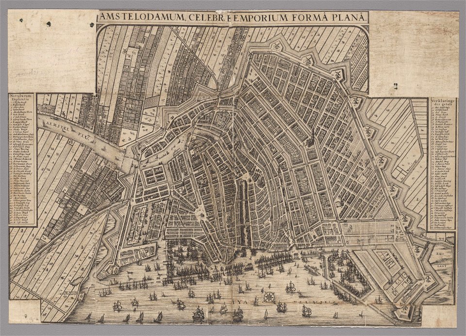
maps in the stadsarchief amsterdam
die grund-regeln der bau-kunst
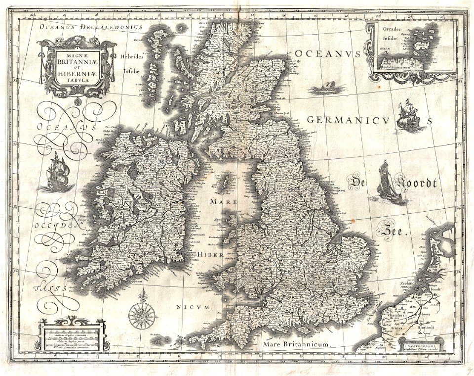
17th-century maps of the british isles
maps by willem and johannes blaeu
maps of ghent by braun & hogenberg
17th-century maps of trinidad and tobago
animals on maps
a plan of the operations of the king's army under the command of general sr. william howe, k.b. in new york and east new jersey, against the american forces commanded by general washington, from the 12th. of october, to the 28th. of november 1776
iona island (new york)
english-language maps
maps by john cary
maps in the rijksmuseum amsterdam
willem blaeu
documents of the protectorate of bohemia and moravia
josef churavý
carte de l'amérique septentrionale by guillaume delisle (1700)
1700 maps of north america
maps of paris in the 1790s
1797 maps
british columbia in the 1860s
saturna island
portrait engravings in the rijksmuseum amsterdam
philippus endlich
old geological maps by jean-etienne guettard
jean étienne guettard
18th-century maps of the iberian peninsula
maps in the rijksmuseum amsterdam
old maps of the london underground
maps by macdonald gill
collection cartographic documents from het utrechts archief
laurens praalder
newspapers of the protectorate of bohemia and moravia
josef churavý
prints in the royal collection of the united kingdom
john peltro
1001 - 1100 of 1,210
Next page
/ 13