Log in
All resources
Create a design
85 Free Artworks of Old Maps Of Scotland
joan blaeu
1667 maps
atlas maior, vol 6 (scotland and ireland) - joan blaeu, 1667 - bl 114.h(star).6
copper engraving print
british library
dutch-language maps
third voyage of willem barentsz
16th-century maps of the arctic
history of dutch sea fisheries
old maps of spitsbergen
third voyage of willem barentsz
16th-century maps of the arctic
third voyage of willem barentsz
history of dutch sea fisheries
third voyage of willem barentsz
history of dutch sea fisheries
third voyage of willem barentsz
16th-century maps of the arctic
third voyage of willem barentsz
16th-century maps of the arctic
the voyage of the vega round asia and europe
third voyage of willem barentsz
overwintering on nova zembla by willem barentsz, 1596-1597
maps in the rijksmuseum amsterdam
overwintering on nova zembla by willem barentsz, 1596-1597
maps in the rijksmuseum amsterdam
maps of traditional counties of scotland
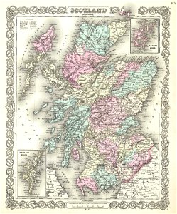
old maps of scotland
old maps of scotland
maps by john thomson
media in the houghton library
harvard university
latin-language maps
johannes ratelband
atlantis magni tomus secundus (biblioteca comunale di trento)
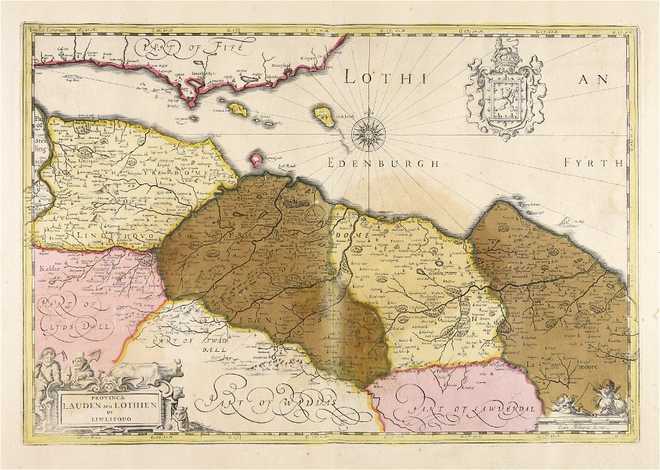
old maps of lothian
joan blaeu
scotland
vintage
maps
maps by willem and johannes blaeu
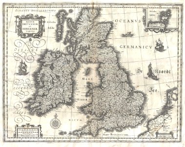
old maps of the british isles
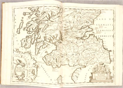
atlante veneto (raremaps.com) volume 2
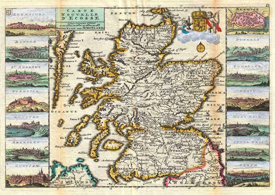
old maps of scotland
atlante veneto (raremaps.com) volume 2
old maps of scotland
old maps of scotland
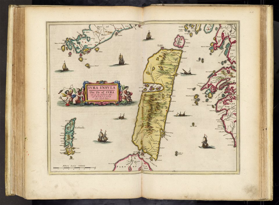
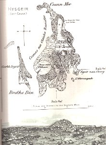
hyskeir
old maps of the british isles
karl spruner von merz
maps made in the 17th century
jan janssonius
gerard valck
scotland
maps made in the 17th century
gerard valck
history of scotland
victorian era
english society
somerset
1900 maps of russia
1900 maps of china
old maps of edinburgh
maps by john rocque
john rocque's 1746 map of london
northumberland house
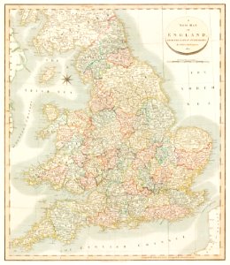
maps by john cary
1801 maps
old maps of edinburgh
history of edinburgh
old maps of great britain
1250s maps
images of places from encyclopædia britannica
old maps of edinburgh
images of places from encyclopædia britannica
old maps of glasgow
maps in the national library of scotland
blaeu atlas of scotland 1654
maps from the mechanical curator collection available to georeference
maps from the mechanical curator collection
norman heathcote
maps of st kilda
18th-century maps of edinburgh-shire
maps of scotland by herman moll
atlas maior, vol 6 (scotland and ireland) - joan blaeu, 1667 - bl 114.h(star).6
1667 maps
atlas maior, vol 6 (scotland and ireland) - joan blaeu, 1667 - bl 114.h(star).6
1667 maps
atlas maior, vol 6 (scotland and ireland) - joan blaeu, 1667 - bl 114.h(star).6
1667 maps
atlas maior, vol 6 (scotland and ireland) - joan blaeu, 1667 - bl 114.h(star).6
1667 maps
admiralty charts region c: scotland
admiralty charts 1801-2000
maps by thomas kitchin
old maps of scotland
maps of the firth of forth
old maps of fife
miniature speed atlas (1627) pieter van den keere
old county maps of lincolnshire
robert gordon of straloch
old maps of sutherland
maps from the earth and its inhabitants, vol. iv
maps of lewis, scotland
description de l'universe
old maps of scotland
maps by willem and johannes blaeu
old maps of fife
atlas maior, vol 6 (scotland and ireland) - joan blaeu, 1667 - bl 114.h(star).6
1667 maps
atlas maior, vol 6 (scotland and ireland) - joan blaeu, 1667 - bl 114.h(star).6
1667 maps
atlas maior, vol 6 (scotland and ireland) - joan blaeu, 1667 - bl 114.h(star).6
1667 maps
atlas maior, vol 6 (scotland and ireland) - joan blaeu, 1667 - bl 114.h(star).6
1667 maps
atlas maior, vol 6 (scotland and ireland) - joan blaeu, 1667 - bl 114.h(star).6
1667 maps
atlas maior, vol 6 (scotland and ireland) - joan blaeu, 1667 - bl 114.h(star).6
1667 maps
atlas maior, vol 6 (scotland and ireland) - joan blaeu, 1667 - bl 114.h(star).6
1667 maps
atlas maior, vol 6 (scotland and ireland) - joan blaeu, 1667 - bl 114.h(star).6
1667 maps
atlas maior, vol 6 (scotland and ireland) - joan blaeu, 1667 - bl 114.h(star).6
1667 maps
maps by willem and johannes blaeu
william camden
atlas maior, vol 6 (scotland and ireland) - joan blaeu, 1667 - bl 114.h(star).6
1667 maps
atlas maior, vol 6 (scotland and ireland) - joan blaeu, 1667 - bl 114.h(star).6
1667 maps
atlas maior, vol 6 (scotland and ireland) - joan blaeu, 1667 - bl 114.h(star).6
1667 maps
atlas maior, vol 6 (scotland and ireland) - joan blaeu, 1667 - bl 114.h(star).6
1667 maps
atlas maior, vol 6 (scotland and ireland) - joan blaeu, 1667 - bl 114.h(star).6
1667 maps
atlas maior, vol 6 (scotland and ireland) - joan blaeu, 1667 - bl 114.h(star).6
1667 maps
atlas maior, vol 6 (scotland and ireland) - joan blaeu, 1667 - bl 114.h(star).6
1667 maps
atlas maior, vol 6 (scotland and ireland) - joan blaeu, 1667 - bl 114.h(star).6
1667 maps
old maps of the shetland islands
old maps of the orkney islands
atlas maior, vol 6 (scotland and ireland) - joan blaeu, 1667 - bl 114.h(star).6
1667 maps
atlas maior, vol 6 (scotland and ireland) - joan blaeu, 1667 - bl 114.h(star).6
1667 maps
atlas maior, vol 6 (scotland and ireland) - joan blaeu, 1667 - bl 114.h(star).6
1667 maps
maps by john cary
1796 maps
maps from the earth and its inhabitants, vol. iv
falkirk
maps by nicolaes visscher i
atlas van der hagen
daniel de la feuille
1747 maps
old maps of scotland from the norman b. leventhal map center
old maps of ireland from the norman b. leventhal map center
miniature speed atlas (1627) pieter van den keere
old maps of the orkney islands
maps from the earth and its inhabitants, vol. iv
1870s maps of scotland
maps from the earth and its inhabitants, vol. iv
1870s maps of scotland
19th-century maps of gloucestershire
old maps of cheltenham
maps by peter lesley
maps by james hall
russo-turkish war (1877–1878) in art
great eastern crisis (1875–78)
maps from the earth and its inhabitants, vol. iv
old maps of perth, scotland
prints, drawings and watercolours of the royal museums greenwich
1896 in art
the natural history of barbados (1750)
scotland district
1 - 85 of 85
/ 1