Log in
All resources
Create a design
24 Free Artworks of Maps Of The Arctic Ocean
old maps of the arctic
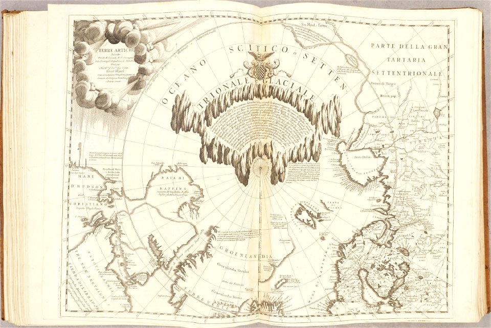
old maps of the arctic ocean
maps of the north pole
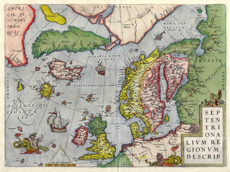
old maps of scandinavia
maps of novaya zemlya
third voyage of willem barentsz
16th-century maps of the arctic
history of dutch sea fisheries
old maps of spitsbergen
old maps of the white sea
third voyage of willem barentsz
16th-century maps of the arctic
third voyage of willem barentsz
16th-century maps of the arctic
the voyage of the vega round asia and europe
third voyage of willem barentsz
third voyage of willem barentsz
history of dutch sea fisheries
third voyage of willem barentsz
history of dutch sea fisheries
third voyage of willem barentsz
16th-century maps of the arctic
overwintering on nova zembla by willem barentsz, 1596-1597
maps in the rijksmuseum amsterdam
overwintering on nova zembla by willem barentsz, 1596-1597
maps in the rijksmuseum amsterdam
atlante veneto (raremaps.com) volume 1
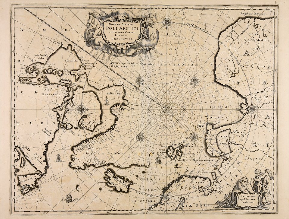
maps of the arctic ocean
historical images of arecaceae
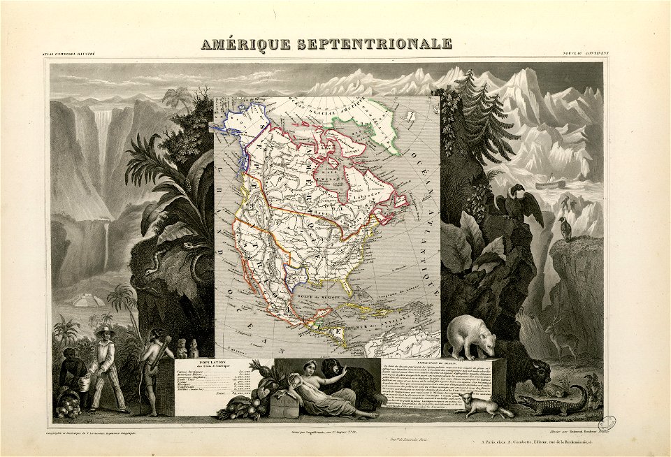
old maps of north america
maps made in the 17th century
jan janssonius
old maps of greenland
old maps of iceland
old constellation maps
maps by samuel dunn
old maps of the arctic
maps by emanuel bowen
boris kisin
classicism
atlas van loon
1664 maps
atlas maior, vol 1 (northern europe, norway, and denmark) - joan blaeu, 1667 - bl 114.h(star).1
1667 maps
narrative of the arctic land expedition to the mouth of the great fish river - and along the shores of the arctic ocean, in the years, 1833, 1834, and 1835 (1836)
maps by john cary
1806 maps of asia
maps of the arctic ocean
maps of the north pole
old maps of the russian empire
1790s maps of alaska
maps in "the danish ingolf-expedition"
crustacea malacostraca (1908)
l'expédition du tegetthoff (1878)
old maps of the arctic ocean
maps of the arctic ocean
atlas novus (blaeu)
1 - 24 of 24
/ 1