Log in
All resources
Create a design
31 Free Artworks of Old Maps Of Ohio
maps in the library of congress
bird's eye view maps of ohio
old maps of cities in ohio
albert ruger
1899 maps
1896 maps
maps of ashtabula county
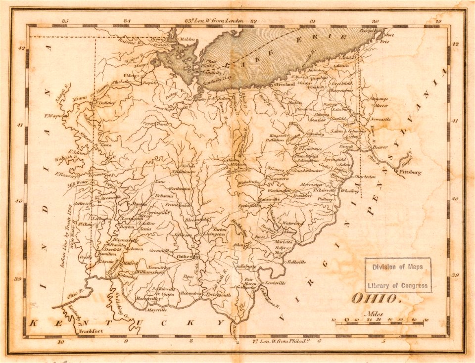
1814 maps
1870 maps
maps by john cary
old maps of ohio
1855 maps
maps in the library of congress
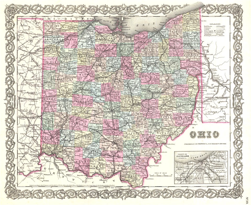
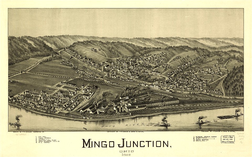
ohio
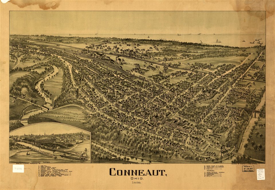
conneaut
ohio
conneaut
ohio
maps in the library of congress
ohio
maps in the library of congress
old maps of ohio
maps in the library of congress
ohio
maps in the library of congress
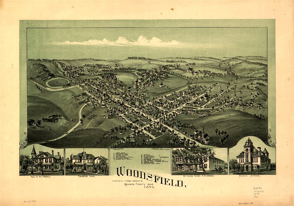
ohio
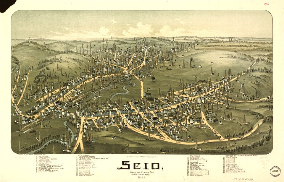
ashtabula
ohio
maps in the library of congress
ohio
maps in the library of congress
ohio
maps in the library of congress
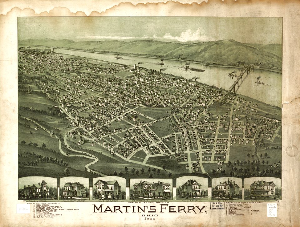
ohio
maps in the library of congress
ohio
maps in the library of congress
ohio
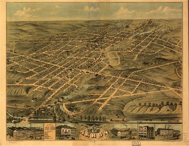
akron
ohio
maps in the library of congress
ohio
maps in the library of congress
ohio
maps in the library of congress
old maps of ohio
maps in the library of congress
old maps of ohio
maps in the library of congress
ohio
maps in the library of congress
ohio
maps in the library of congress
albert ruger
maps of pittsburgh
1855 maps
maps in the library of congress
1877 in ohio
maps in the library of congress
1877 maps of the united states
the loyal west in the times of the rebellion (ohio)
maps of the cuyahoga river
historical collections of ohio (1891)
old maps of ohio
scientific journals of the united states, 1902
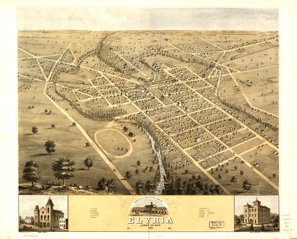
old maps of lorain county, ohio
1805 maps of the united states
maps by john cary
1806 maps of the united states
maps by john cary
1821 maps of the united states
maps by john cary
1 - 31 of 31
/ 1