Log in
All resources
Create a design
262 Free Artworks of Maps Of South America
bibliothèque nationale de france
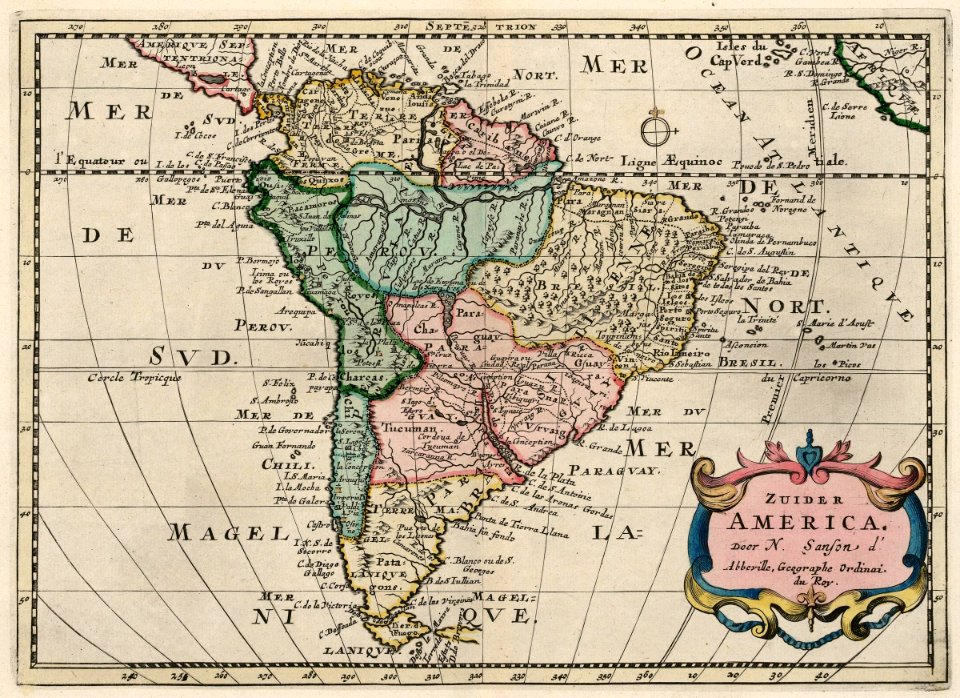
sanson maps of south america
bl maps k.top.124 (south america)
bl18c pilot
british library
1669 sanson map of south america
french-language maps of south america
maps by thomas kitchin
thomas kitchin
koninklijke bibliotheek
the discovery of guiana
theodor de bry
maps of del norte county, california
1866 maps of california
1805 maps of the united states
maps by john cary
old constellation maps
maps by samuel dunn
diego gutiérrez
renaissance
history of antwerp
renaissance
art works by joaquín torres garcía
1943 in art
maps of the dutch east india company - australia
old maps of the dutch east india company
americae 1562 by diego gutiérrez and hieronymus cock
renaissance
old maps of the new kingdom of granada
17th-century maps of guyana
1747 maps of north carolina
maps by emanuel bowen
17th-century maps of the strait of magellan
maps by nicolas sanson
maps by jean-baptiste bourguignon d'anville
maps by thomas kitchin
sanson maps of south america
1719 maps of south america
1730s maps of south carolina
old maps of north america
maps of the west-indische compagnie
1758 maps
17th-century maps of south america
maps by nicolas sanson
maps by willem and johannes blaeu
pantanal
maps by alexis-hubert jaillot
maps by nicolas sanson
old maps of french guiana
1630s maps of brazil
1590s maps of brazil
animals on maps
17th-century maps of the strait of magellan
1635 maps
maps of america by guillaume delisle (18th century)
1760s maps of the americas
1780s maps of south america
maps in the british museum
1740s maps of the caribbean
daniel de la feuille
maps of the west-indische compagnie
1705
1849 maps of north america
old maps of canada
maps by willem and johannes blaeu
1660s maps of the americas
1850s maps of the americas
maps by john tallis
18th-century maps of the strait of magellan
1700s maps of argentina
south america in the 1800s
realism
old maps of french guiana
old maps of venezuela
maps by thomas kitchin
andrew dury
1620s maps of north america
1620s maps of the caribbean
maps of the west-indische compagnie
1757 maps of south america
1640s maps of the americas
maps by jodocus hondius
1777 maps of south america
maps by thomas kitchin
west-indische compagnie
1671
maps of the west-indische compagnie
1705
1600s maps of north america
1600s maps of south america
sanson maps of south america
1670s maps of south america
maps by richard william seale
1740s maps of south america
maps made in the 16th century
johannes ruysch
1747 maps of south america
daniel de la feuille
1807 maps of south america
maps by john cary
sanson maps of south america
1719 maps of south america
maps by willem and johannes blaeu
1610s maps of the americas
old maps of the falkland islands
1901 maps of south america
17th-century maps of the strait of magellan
1668 maps of south america
european art in the art institute of chicago
maps of south america by mercator-hondius
maps by willem and johannes blaeu
atlas van loon
amérique méridionale (1748, d'anville)
rococo
old maps of são paulo (city)
maps of são paulo (city)
maps by hendrik hondius the younger
17th-century maps of south america
1771 maps of south america
andrew dury
1777 maps of south america
maps by thomas kitchin
old maps of the amazon river
1700s maps of brazil
maps of the west-indische compagnie
1705
cornelius aurelius world map
1510s maps of south america
1780s maps of the americas
1786 maps
1800s maps of the americas
maps by john cary
maps of south america by mercator-hondius
maps in the biblioteca nacional do brasil
1690s maps of the caribbean
1690s maps of the americas
maps by jean-baptiste bourguignon d'anville
maps by thomas kitchin
1760s maps of the americas
1764 maps
amérique méridionale (1748, d'anville)
rococo
1760s maps of the americas
1760 maps
historical images of bolivia
potosí
collections of the blanton museum of art
maps by alexis-hubert jaillot
sanson maps of south america
south america in the 1690s
old maps of north america from the norman b. leventhal map center
old maps of south america from the norman b. leventhal map center
florence h. woolward - the genus masdevallia
maps in the rijksmuseum amsterdam
published by frans buffa & zonen
jean-fréderic phélypeaux
guillaume dheulland
1669 sanson map of south america
bibliothèque nationale de france
1669 sanson map of south america
bibliothèque nationale de france
1669 sanson map of south america
bibliothèque nationale de france
1669 sanson map of south america
bibliothèque nationale de france
1669 sanson map of south america
bibliothèque nationale de france
1669 sanson map of south america
bibliothèque nationale de france
1669 sanson map of south america
bibliothèque nationale de france
bibliothèque nationale de france
sanson maps of south america
1669 sanson map of south america
bibliothèque nationale de france
1669 sanson map of south america
bibliothèque nationale de france
juan de la cruz cano y olmedilla
1755 maps of north america
bibliothèque nationale de france
sanson maps of south america
bibliothèque nationale de france
sanson maps of south america
bibliothèque nationale de france
sanson maps of south america
bibliothèque nationale de france
sanson maps of south america
bibliothèque nationale de france
sanson maps of south america
old maps of the western hemisphere
1710s maps of the world
charles c. wood taylor
carlos wood
maps in the library of congress
1755 maps
the geographical distribution of animals (book)
neotropic
17th-century maps of the strait of magellan
maps by willem and johannes blaeu
1620s maps of north america
1620s maps of the caribbean
1620s maps of north america
1620s maps of the caribbean
19th-century maps of south america
ambroise tardieu
old maps of the chesapeake bay
sir walter raleigh
sanson maps of south america
1668 maps of south america
1 - 100 of 262
Next page
/ 3