Log in
All resources
Create a design
991 Free Artworks of Maps Of Landes
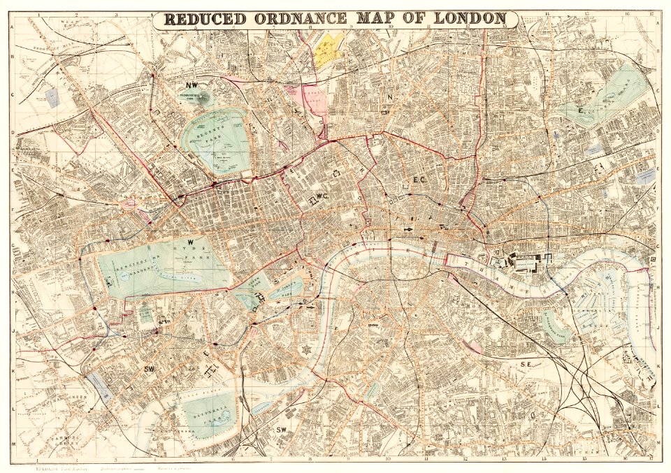
maps from the mechanical curator collection
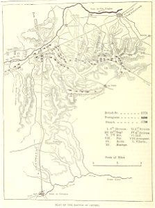
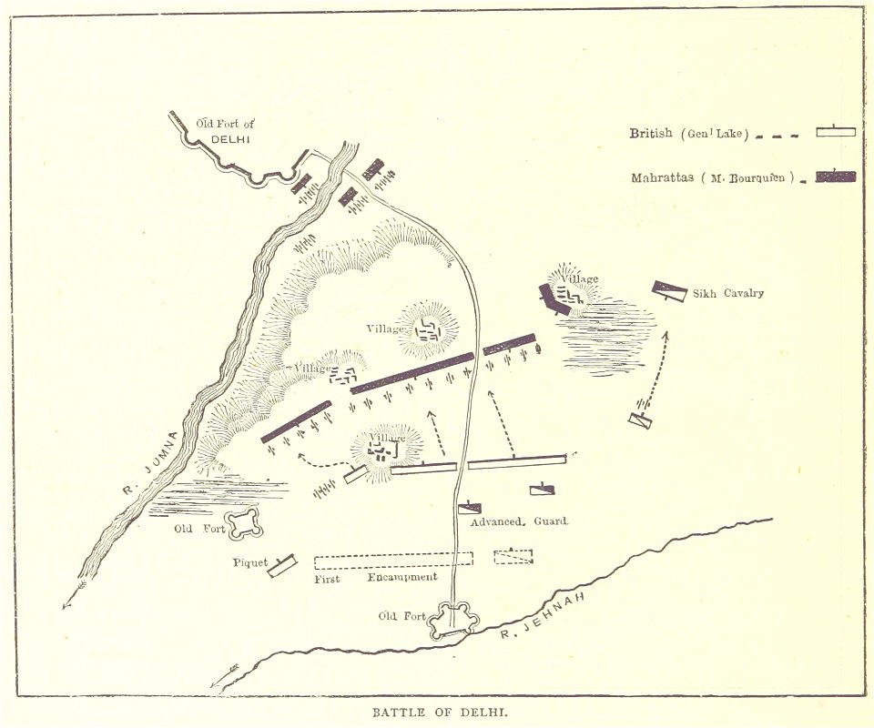
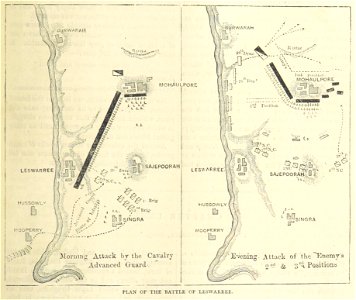
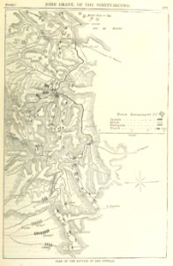
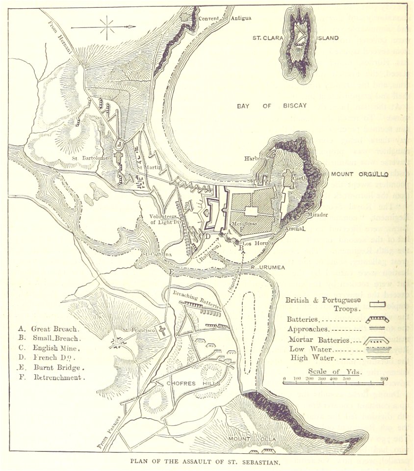
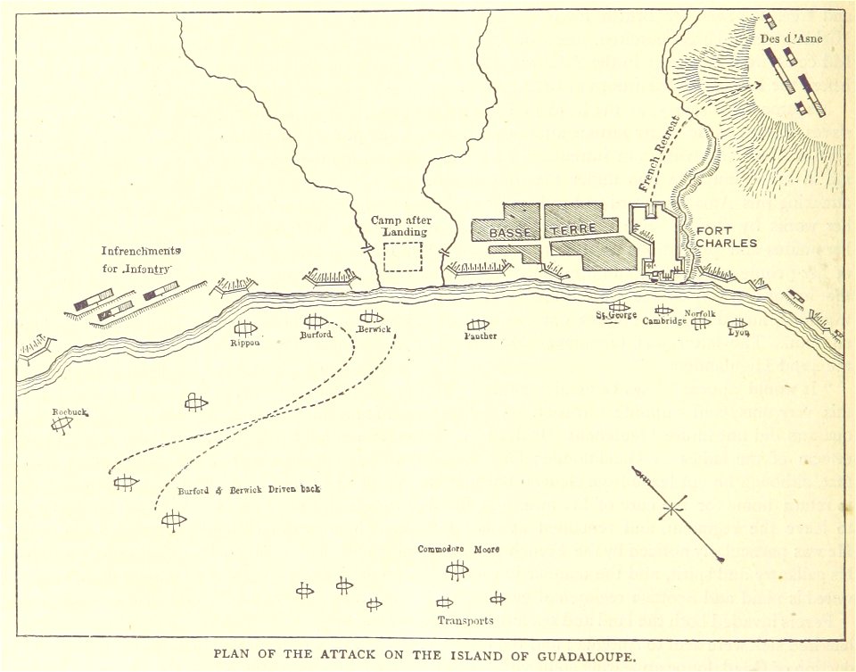
british battles on land and sea
vintage maps
maps from the mechanical curator collection available to georeference
maps in the library of congress
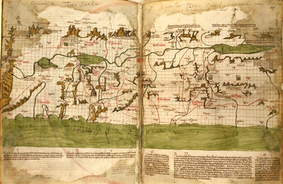
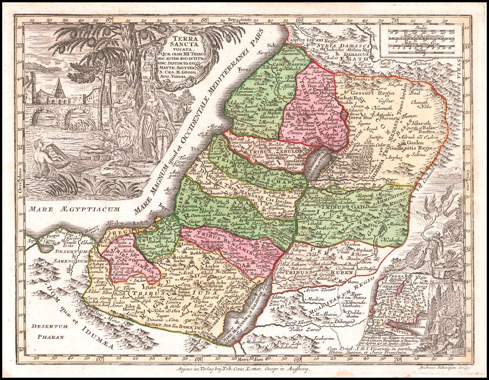
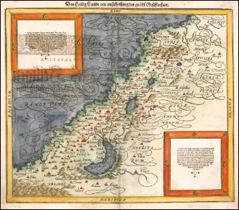
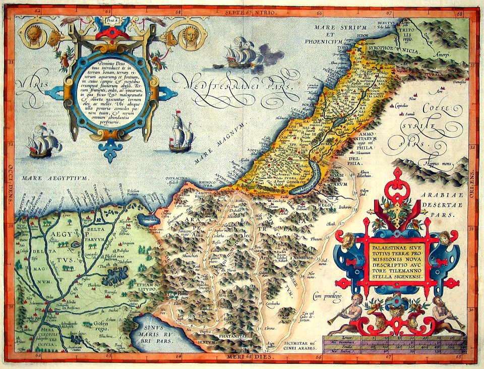
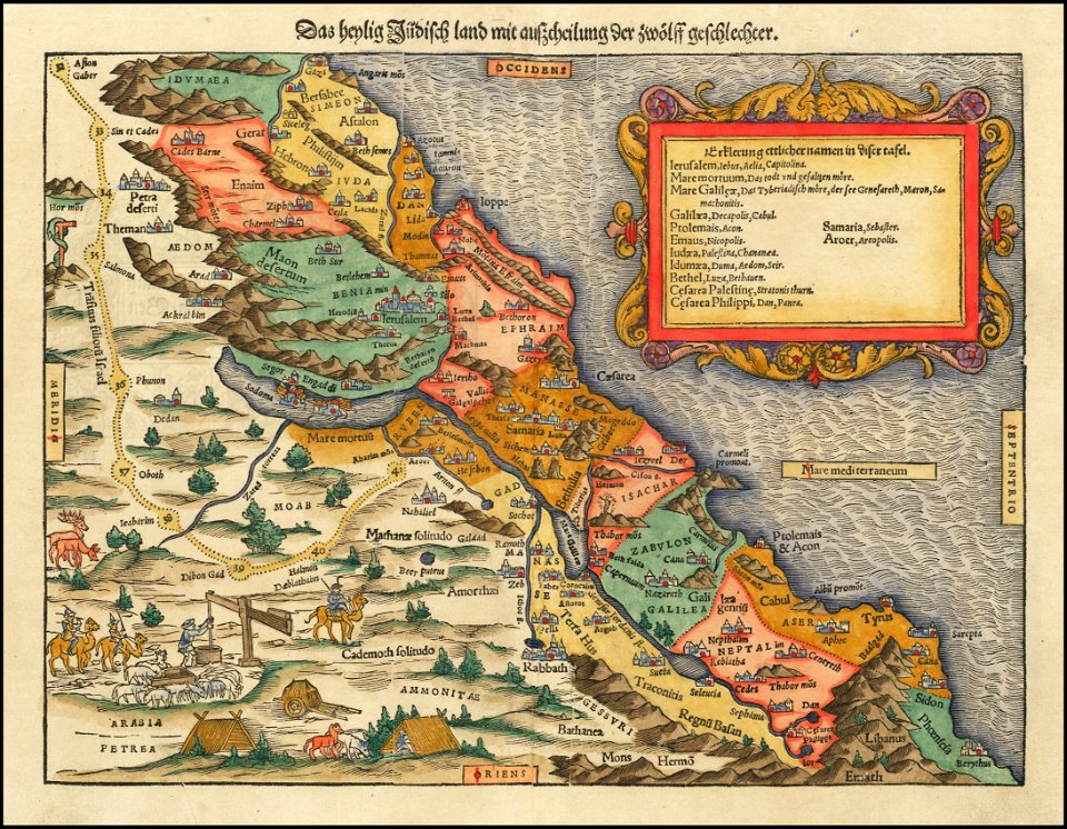
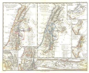
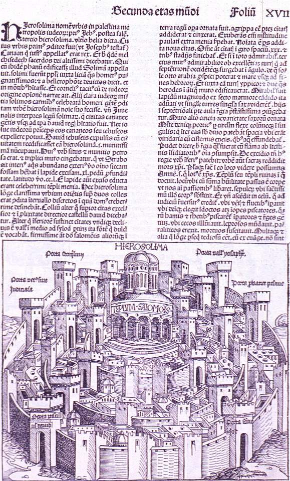
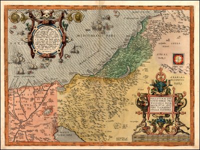
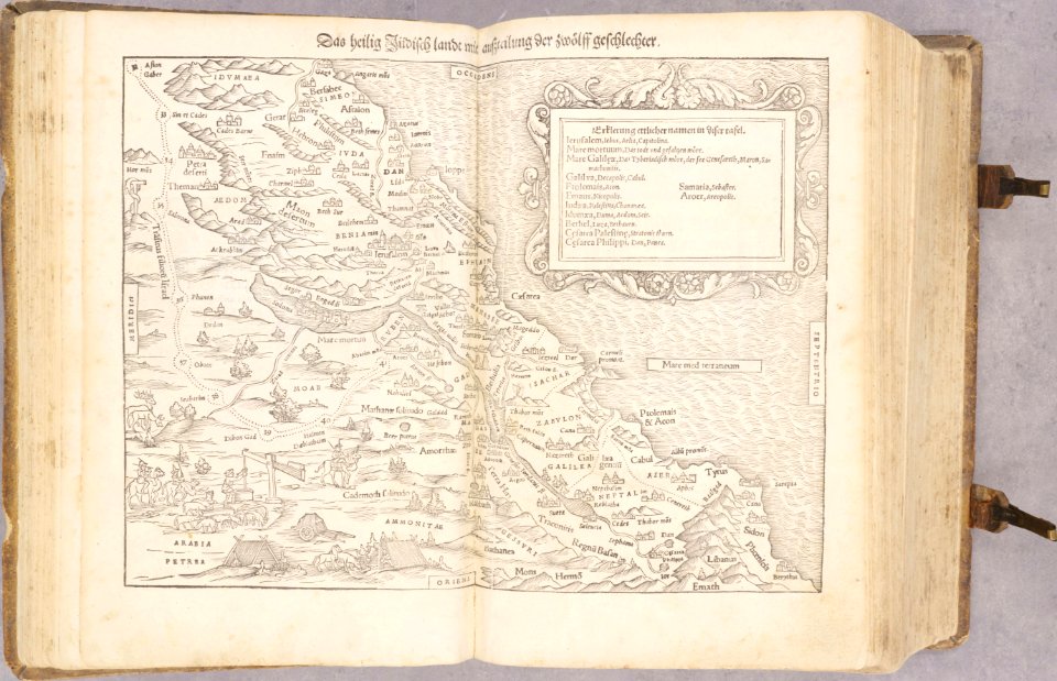
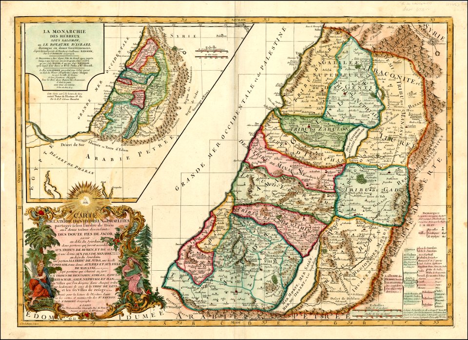
old maps of the holy land
world map
old map
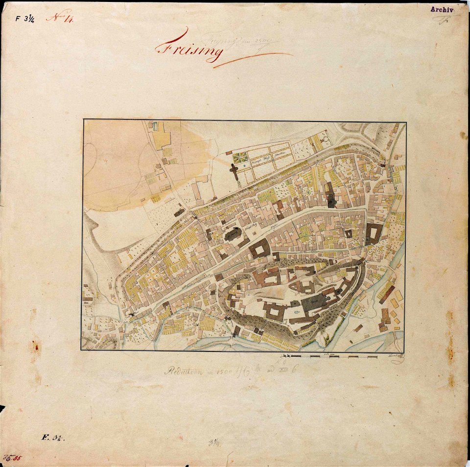
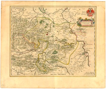
maps by royal bavarian land tax commission
old maps of freising
third voyage of willem barentsz
history of dutch sea fisheries
135th meridian east
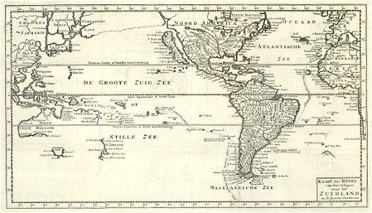
tasman map
west-indische compagnie
image restoration
old maps of spitsbergen
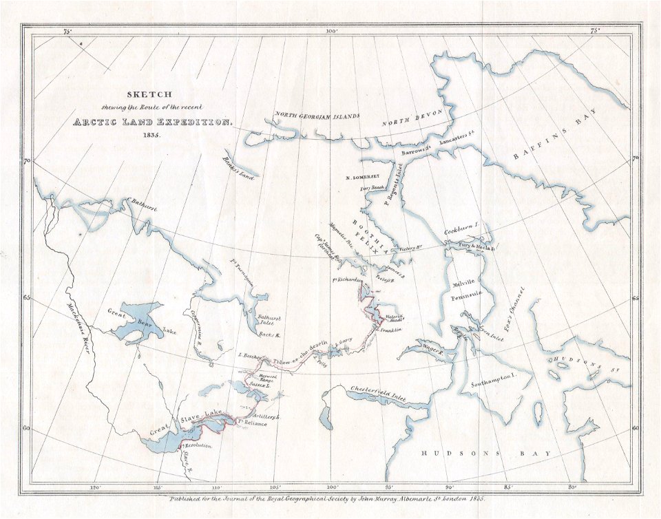
old maps of the arctic
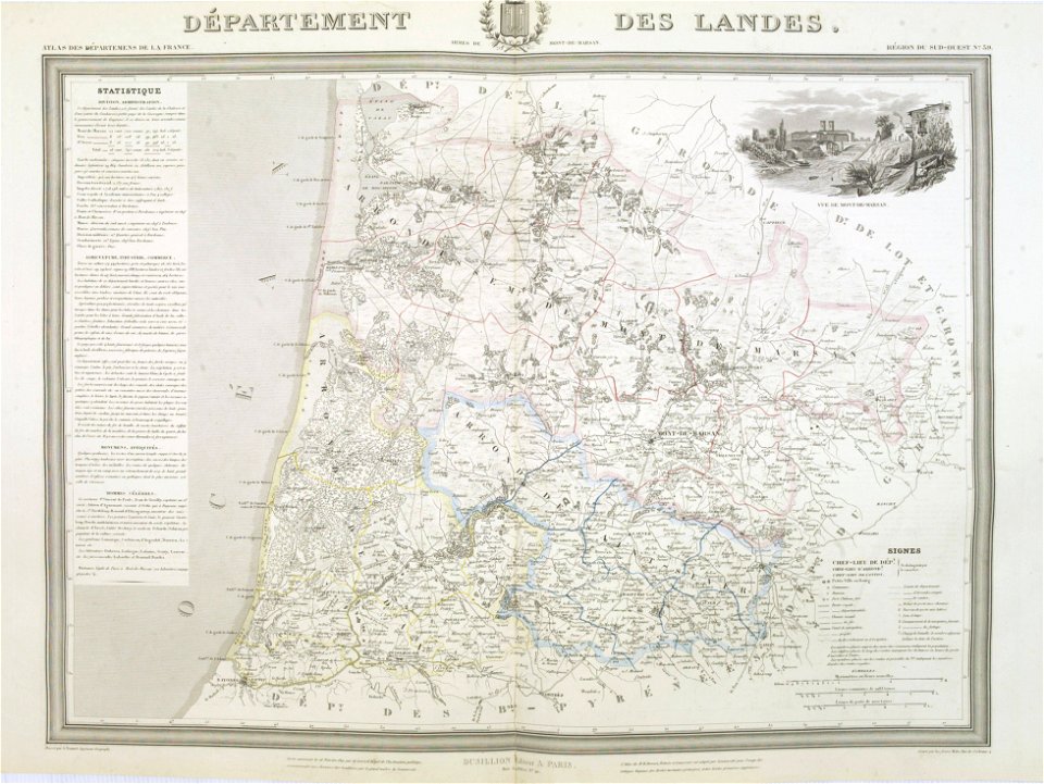
old maps of landes
1841 maps
holy land
israelite
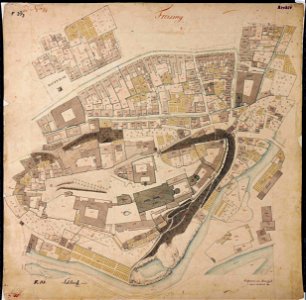
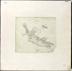
fonds ancely - bibliothèque municipale de toulouse - maps
saint vincent de paul
maps by matthäus seutter
1744 maps
printing
maps
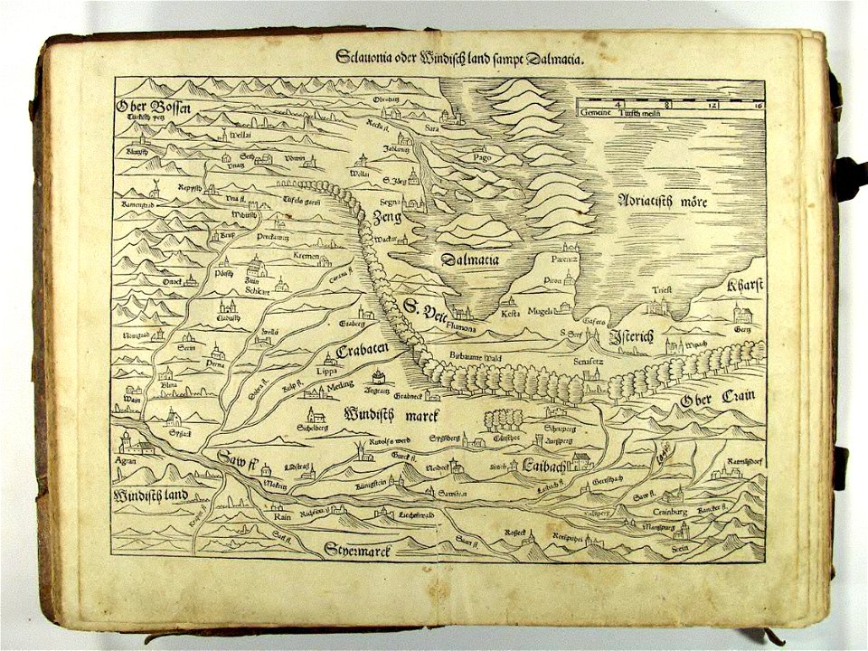
16th-century maps of slovenia
old maps of croatia
maps by royal bavarian land tax commission
old maps of freising
vintage
maps
cartography
maps
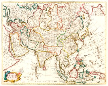
old maps of asia
1855 maps
maps by royal bavarian land tax commission
old maps of freising
maps by royal bavarian land tax commission
old maps of freising
maps by royal bavarian land tax commission
old maps of freising
maps by sebastian münster
german-language maps
maps from the mechanical curator collection
british battles on land and sea
maps by royal bavarian land tax commission
old maps of freising
maps by royal bavarian land tax commission
old maps of freising
latin-language maps
ships on maps
illustration
maps
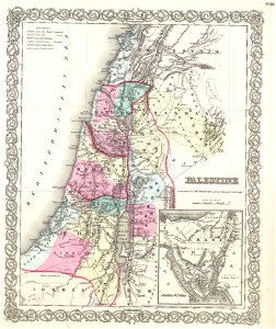
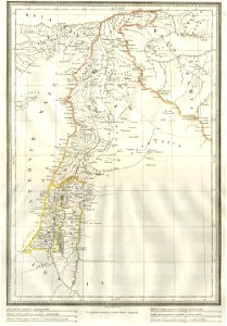
1850s maps of palestine
1850s maps of israel
maps by sebastian münster
old maps of the holy land
german-language maps showing history of europe
maps by sebastian münster
maps with cartouches
old maps of bohemia
maps from the mechanical curator collection
british battles on land and sea
1860s maps of palestine
1865 maps
maps from the mechanical curator collection
british battles on land and sea
maps from the mechanical curator collection
british battles on land and sea
maps
art
english-language maps
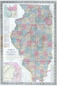
missouri
maps in the library of congress
1900 maps
maps in the library of congress
1900 maps
maps in the library of congress
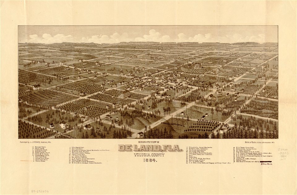
florida
maps in the library of congress
florida
items kept by the national museum of slovenia
february 2008 in ljubljana
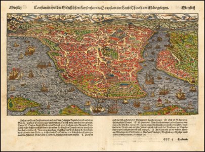
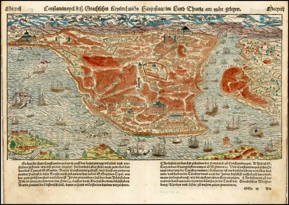
old maps of constantinople
maps by sebastian münster
old maps of the dutch east india company
1787
maps from the mechanical curator collection
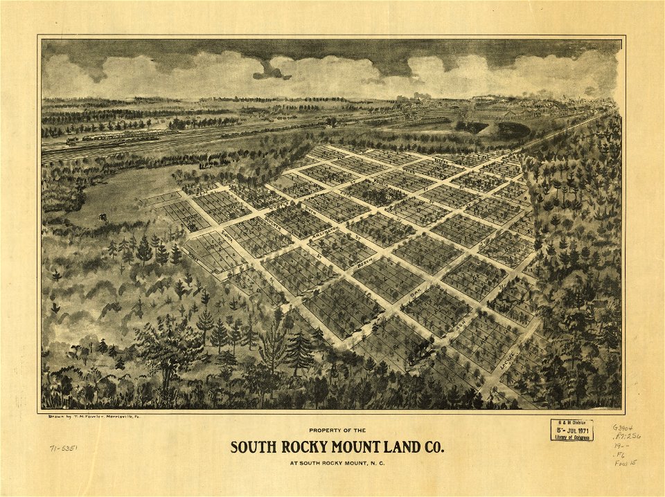
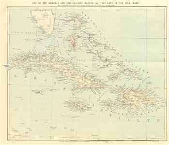
the land of the pink pearl
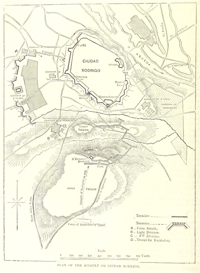
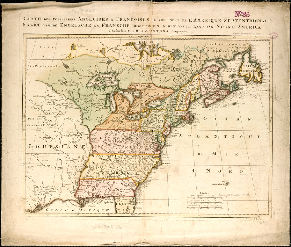
old maps of the american revolution
siege of savannah (1779)
english-language maps
old maps of canada
old maps of the dutch east india company
1757 maps
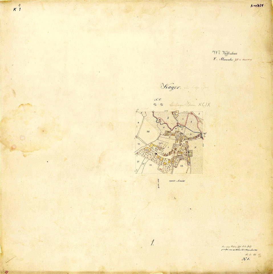
maps by royal bavarian land tax commission
kager
old maps of the holy land
old maps of israel
maps by willem and johannes blaeu
1650 maps
vintage
maps
maps from the mechanical curator collection
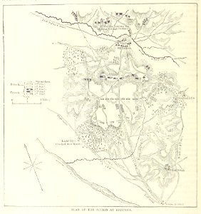
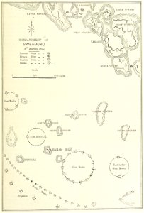
british battles on land and sea
british battles on land and sea
1873 drawings
maps from the mechanical curator collection
british battles on land and sea
maps from the mechanical curator collection
british battles on land and sea
maps from the mechanical curator collection
british battles on land and sea
history of mansfeld land
1645 maps
illustration
maps
latin-language maps
ships on maps
maps
sea
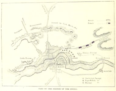
maps from the mechanical curator collection
british battles on land and sea
maps from the mechanical curator collection
british battles on land and sea
maps from the mechanical curator collection
british battles on land and sea
coats of arms on maps
thüringiae
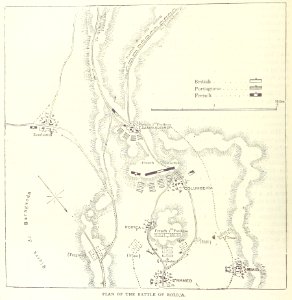
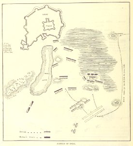
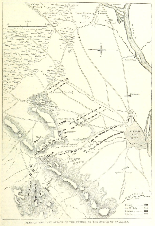
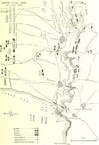
british battles on land and sea
battle of the alma
maps
land
maps by sebastian münster
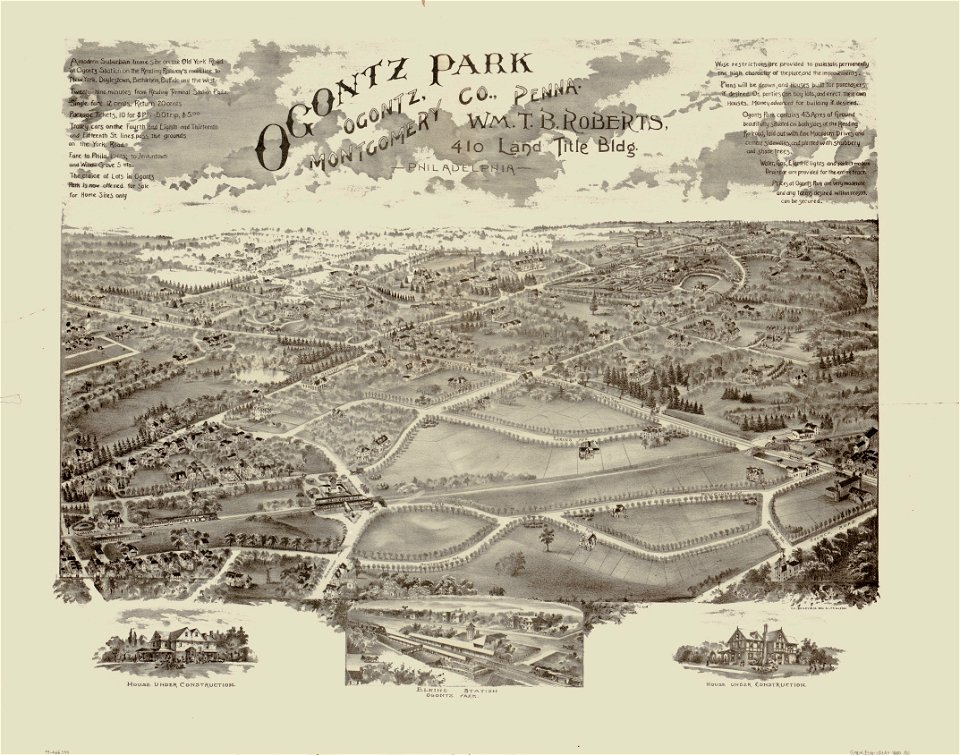
o. h. bailey
1880 maps
old maps of the holy land
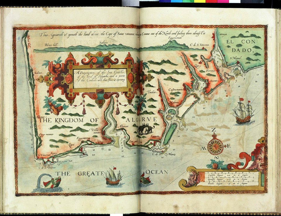
old maps of palestine
o. h. bailey
1880 maps
maps in the library of congress
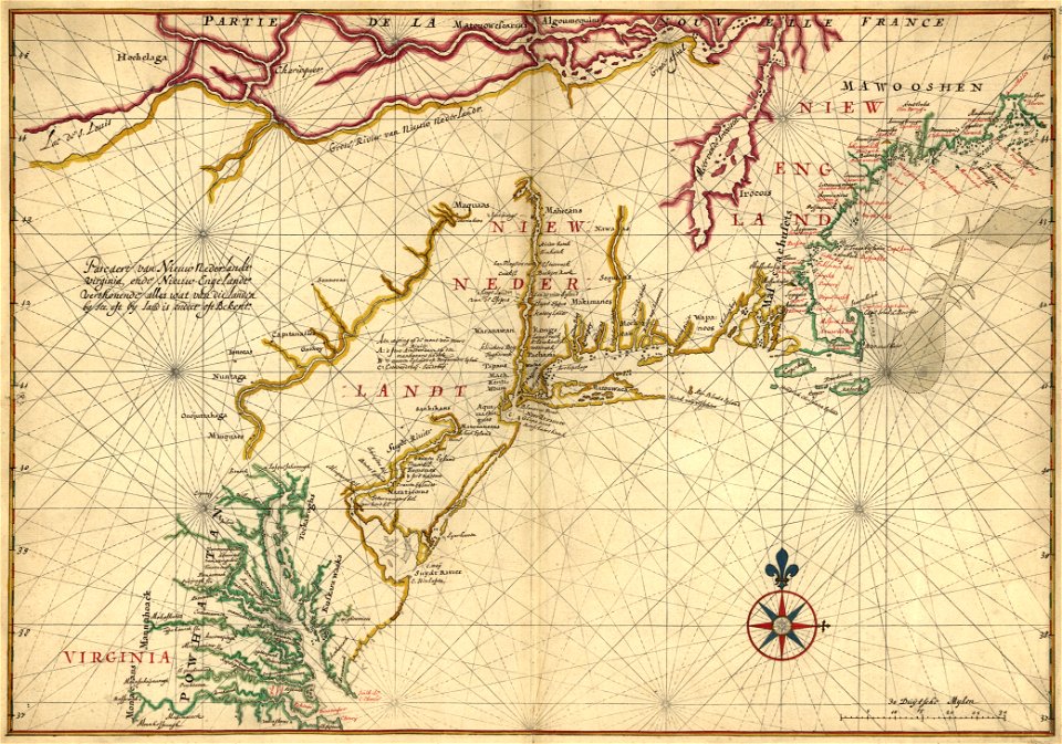
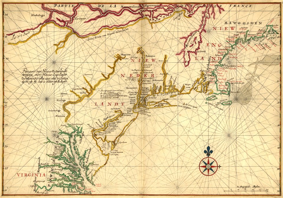
old maps of new england
maps in the library of congress
old maps of new england
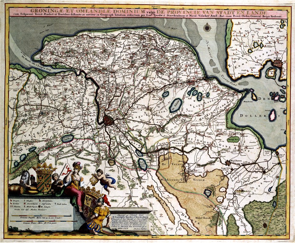
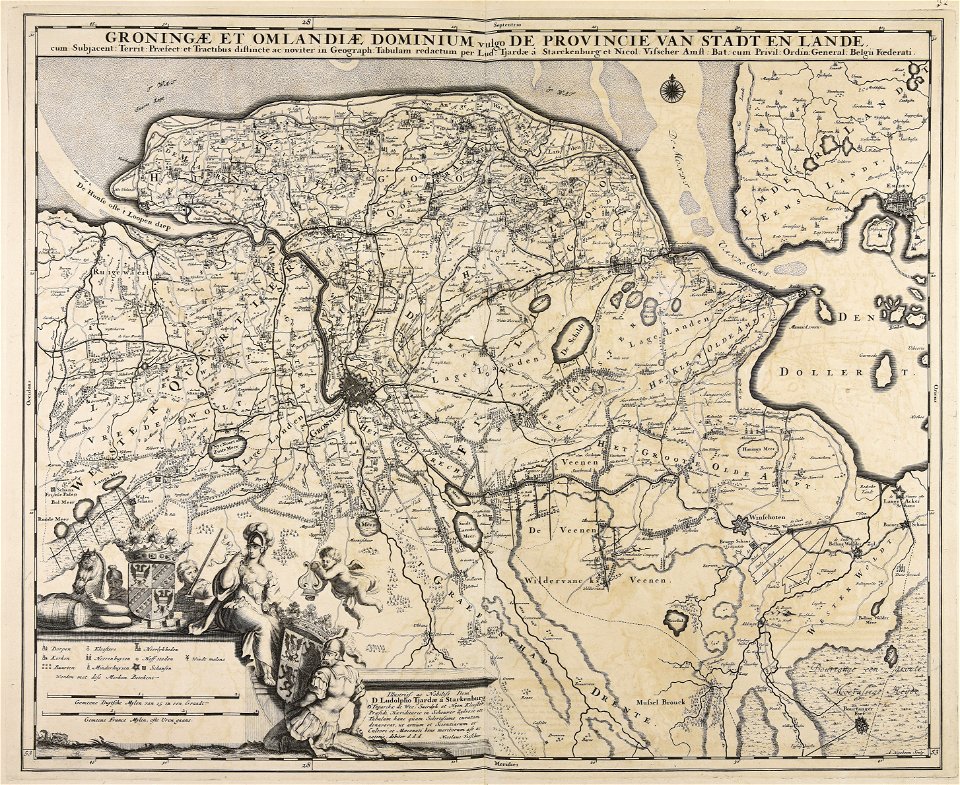
old maps of groningen (province)
maps with cartouches
history of mansfeld land
gerard valck
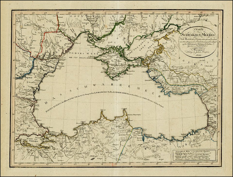
18th-century maps of the black sea
1800 maps of georgia
austro-hungarian north pole expedition
images of vasárnapi ujság in 1874
globe
maps
charts and maps of the royal museums greenwich
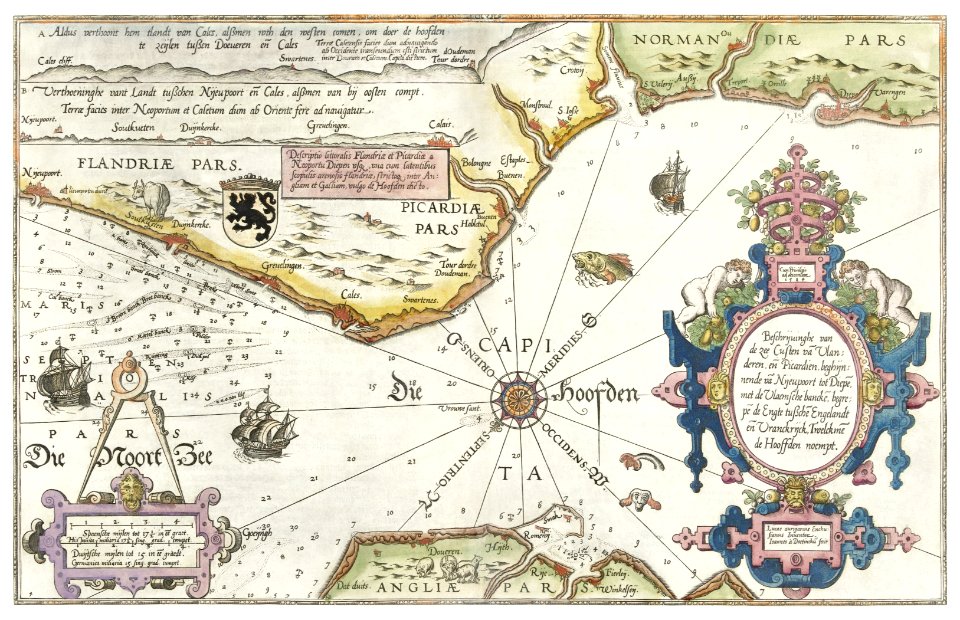
lucas janszoon waghenaer
maps in the library of congress
1639 maps
maps in the library of congress
1639 maps
old maps of saxony
1760 maps
charles françois delamarche
old maps of the holy land
old maps of north america from the norman b. leventhal map center
1755 maps of the united states
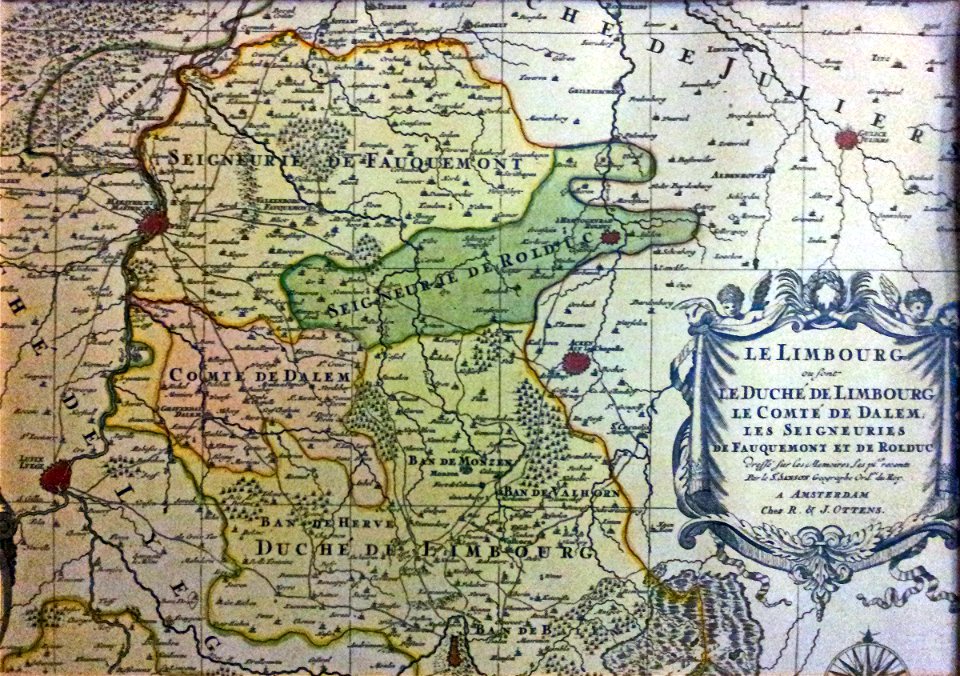
netherlands
limburg
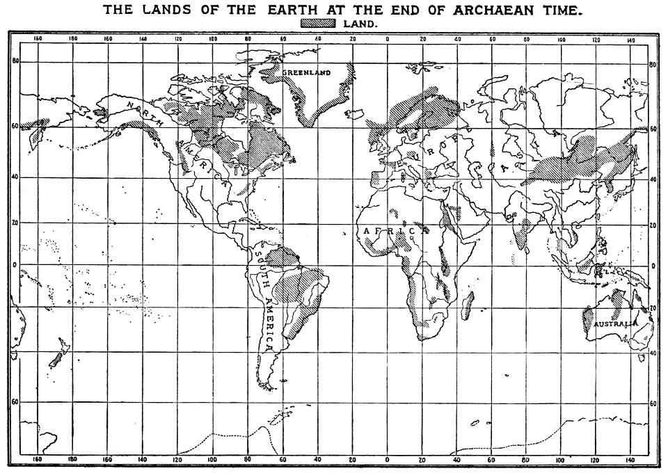
history of geology
1896 maps
maps made in the 17th century
nicolaes visscher ii
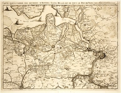
dendermonde
lillo
maps of the land of oz
1914 maps
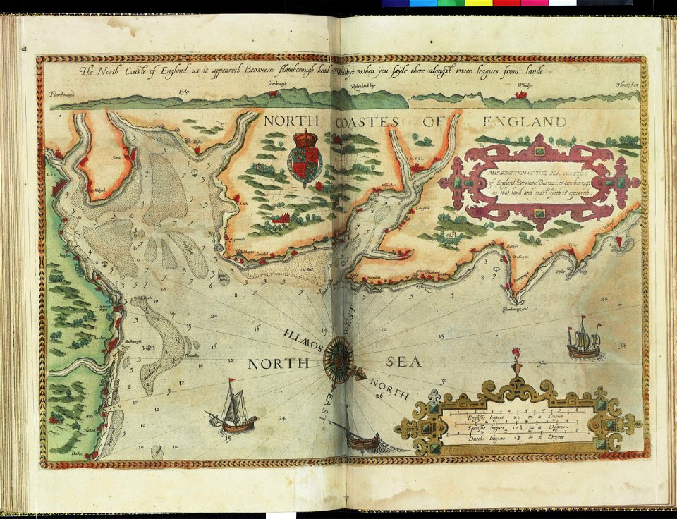
charts and maps of the royal museums greenwich
lucas janszoon waghenaer
old maps of zeeland
western scheldt
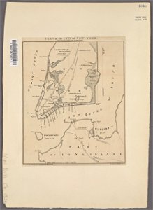
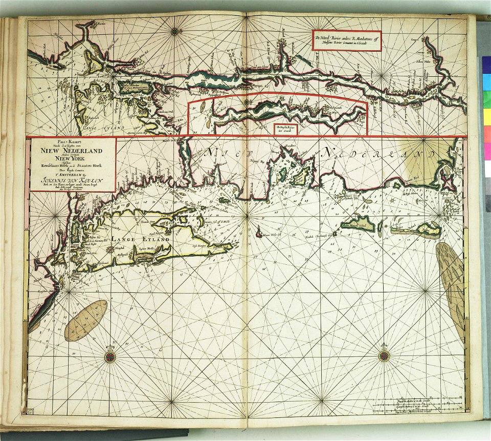
manual of the corporation of the city of new york (1856)
new york city
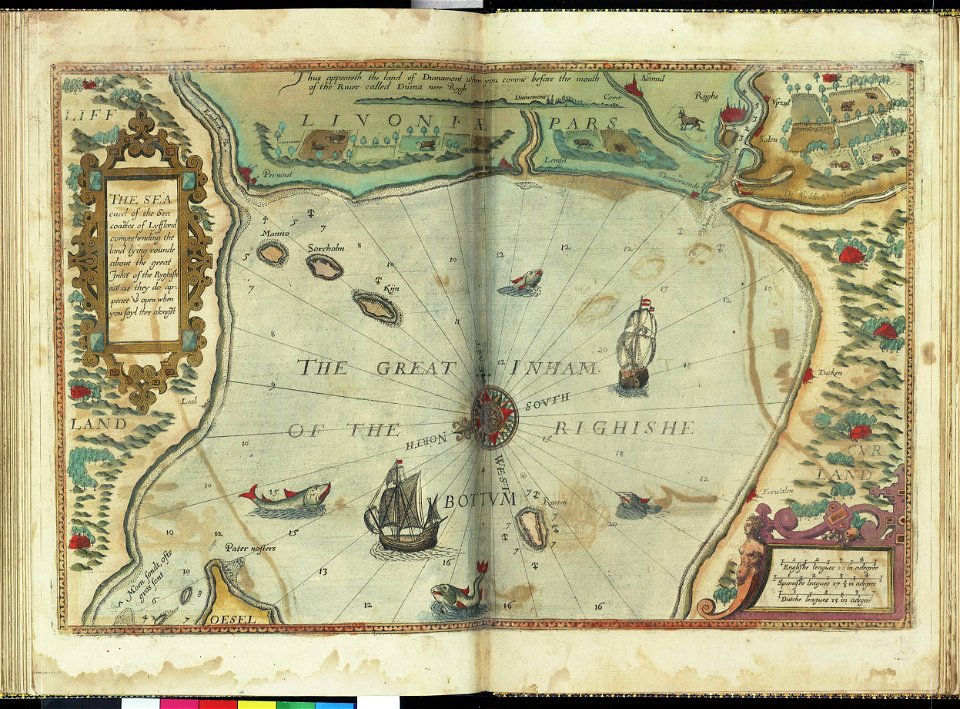
charts and maps of the royal museums greenwich
lucas janszoon waghenaer
charts and maps of the royal museums greenwich
charts and maps of the royal museums greenwich
lucas janszoon waghenaer
heaven
happy
maps made in the 17th century
jan janssonius
charts and maps of the royal museums greenwich
lucas janszoon waghenaer
old constellation maps
maps by samuel dunn
maps of the land of oz
1914 maps
1758
1753
beautification
palmanova
ancient kangleipak
high renaissance
history of antwerp
renaissance
1 - 100 of 991
Next page
/ 10