Log in
All resources
Create a design
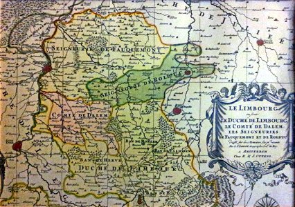
Kaart van Limburg en Landen van Overmaas, Atlas Major, R en J Ottens (Amsterdam, ca 1740), historische collectie Streekmuseum Het Land van Valkenburg, Limburg
Download
Edit image
Published by:
Creazilla
Author:
Kleon3
Source:
commons.wikimedia.org
Loading...
0 downloads
Print it
Copy image
Loading...
netherlands
limburg
old maps of limburg
duchy of limburg
history of dalhem
maps of herzogenrath
old maps of valkenburg
1740s maps
reinier & josua ottens
MORE LIKE THIS