Log in
All resources
Create a design
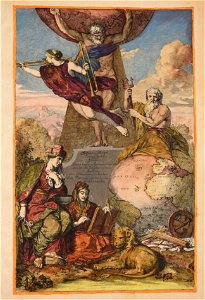
93 Free Artworks of Atlantis Magni Tomus Tertius (biblioteca Comunale Di Trento)
maps made in the 17th century
maps made in the 18th century
johann baptist homann
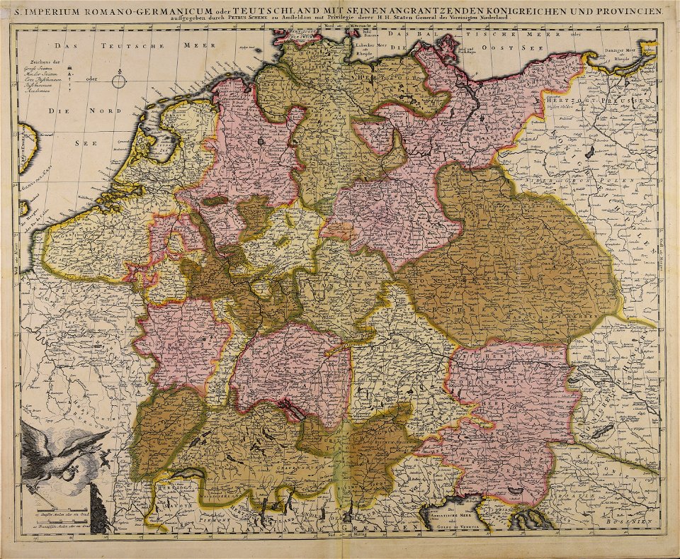
maps by pieter schenk (i)
municipal library of trento
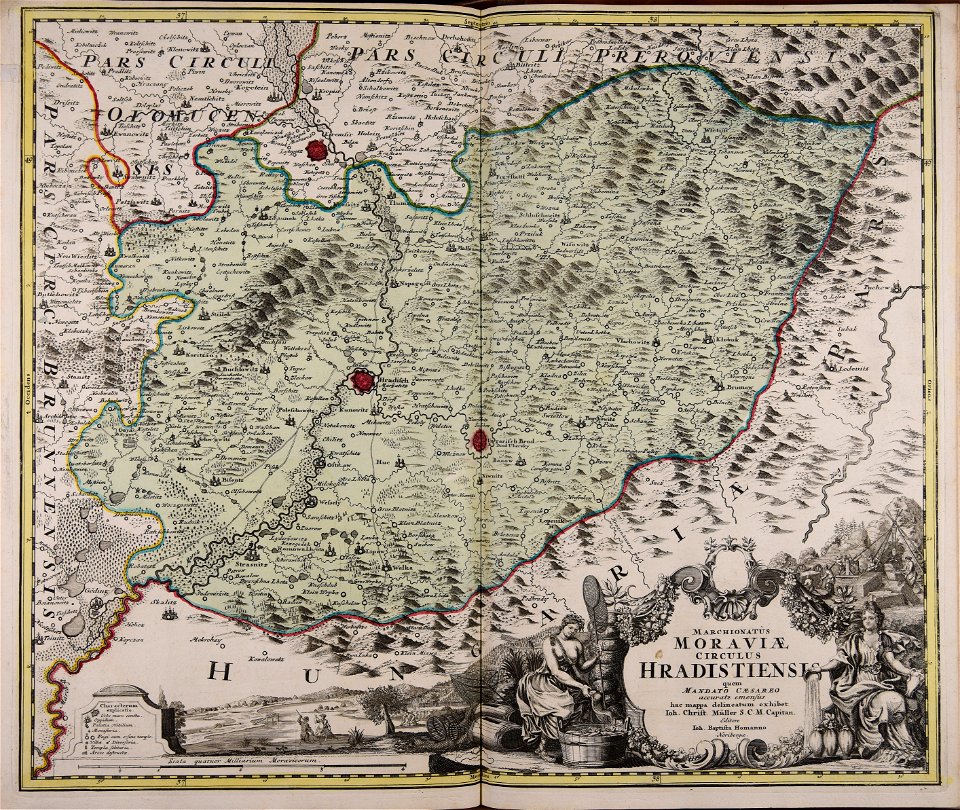
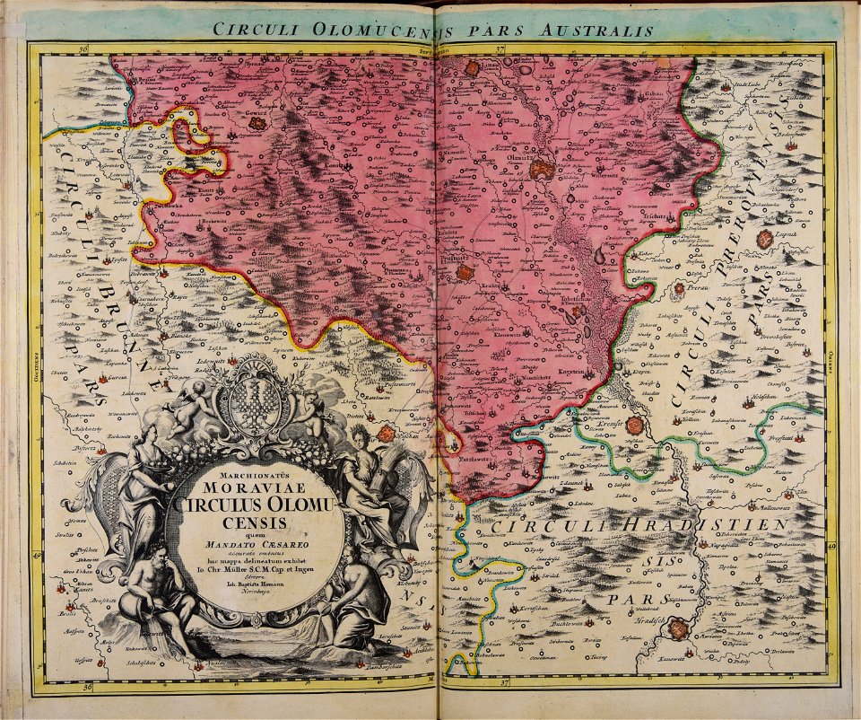
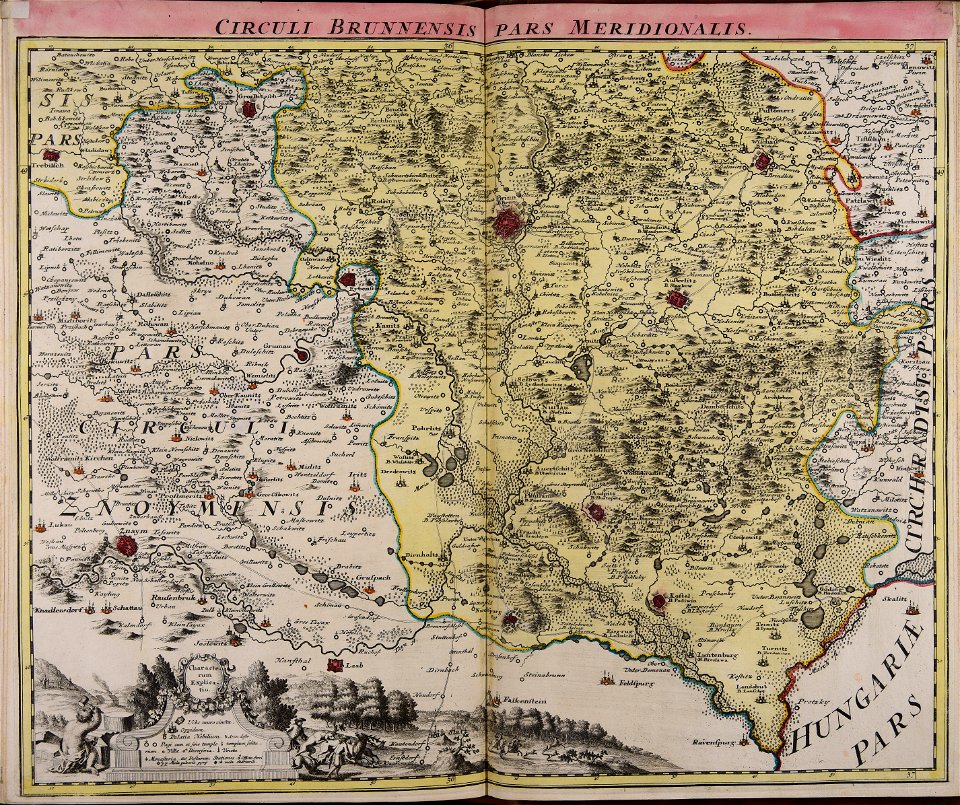
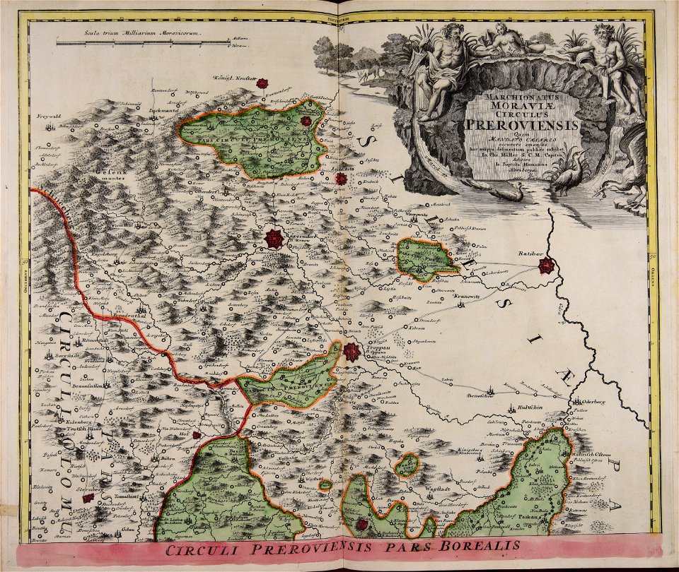
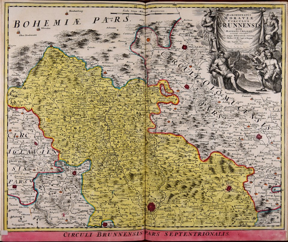
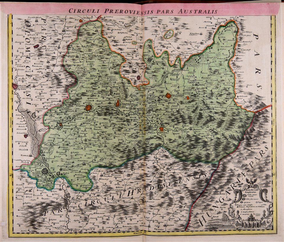
old maps of moravia
johann christoph müller
gerard valck
maps by gerard valck
old maps of europe
atlantis magni tomus tertius (biblioteca comunale di trento)
atlantis magni tomus tertius (biblioteca comunale di trento)
maps made in the 17th century
atlantis magni tomus tertius (biblioteca comunale di trento)
johann baptist homann
atlantis magni tomus tertius (biblioteca comunale di trento)
maps made in the 17th century
atlantis magni tomus tertius (biblioteca comunale di trento)
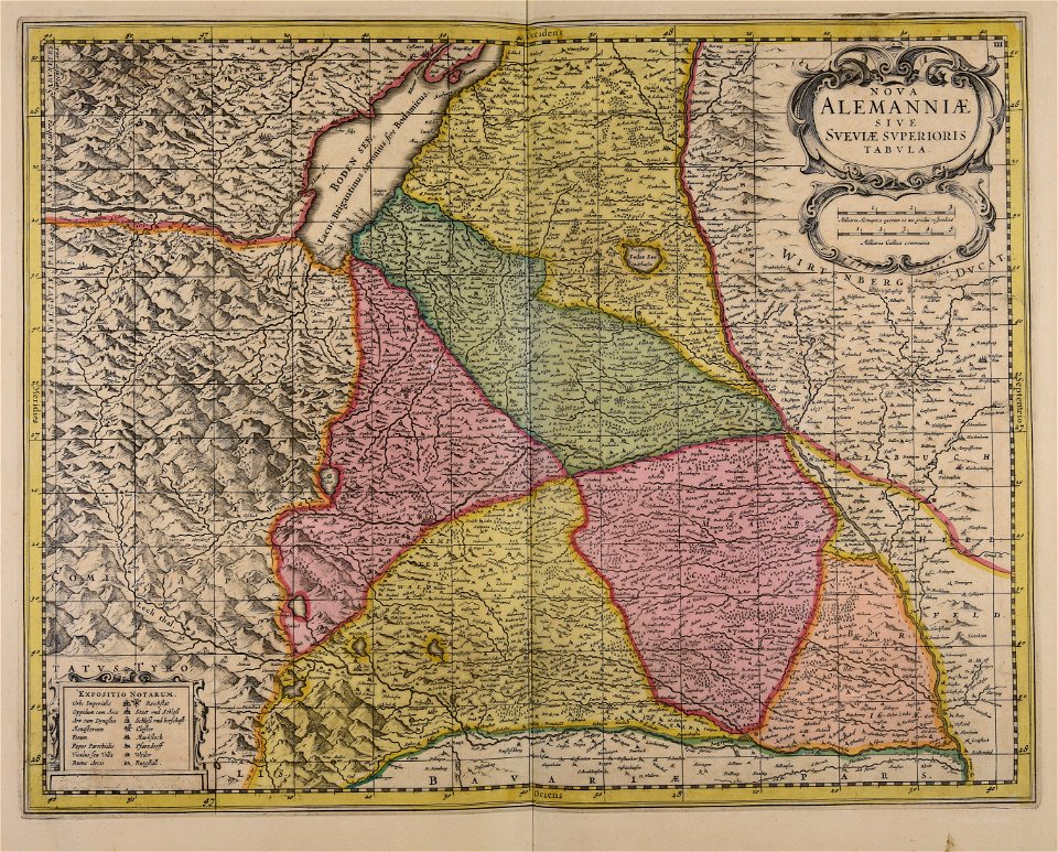
1690s maps of germany
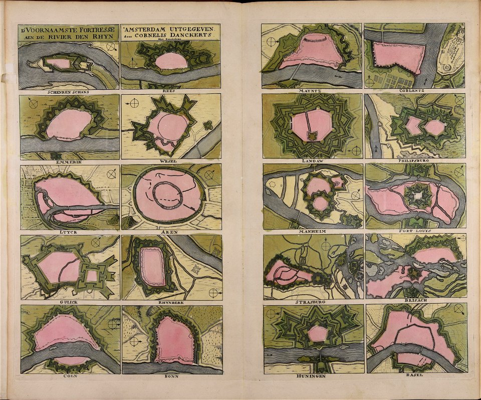
atlantis magni tomus tertius (biblioteca comunale di trento)
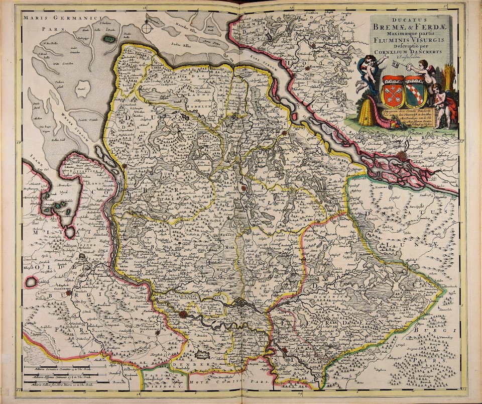
cornelis danckerts (ii)
atlantis magni tomus tertius (biblioteca comunale di trento)
maps made in the 17th century
atlantis magni tomus tertius (biblioteca comunale di trento)
maps made in the 17th century
atlantis magni tomus tertius (biblioteca comunale di trento)
maps made in the 17th century
atlantis magni tomus tertius (biblioteca comunale di trento)
maps made in the 17th century
atlantis magni tomus tertius (biblioteca comunale di trento)
maps made in the 17th century
atlantis magni tomus tertius (biblioteca comunale di trento)
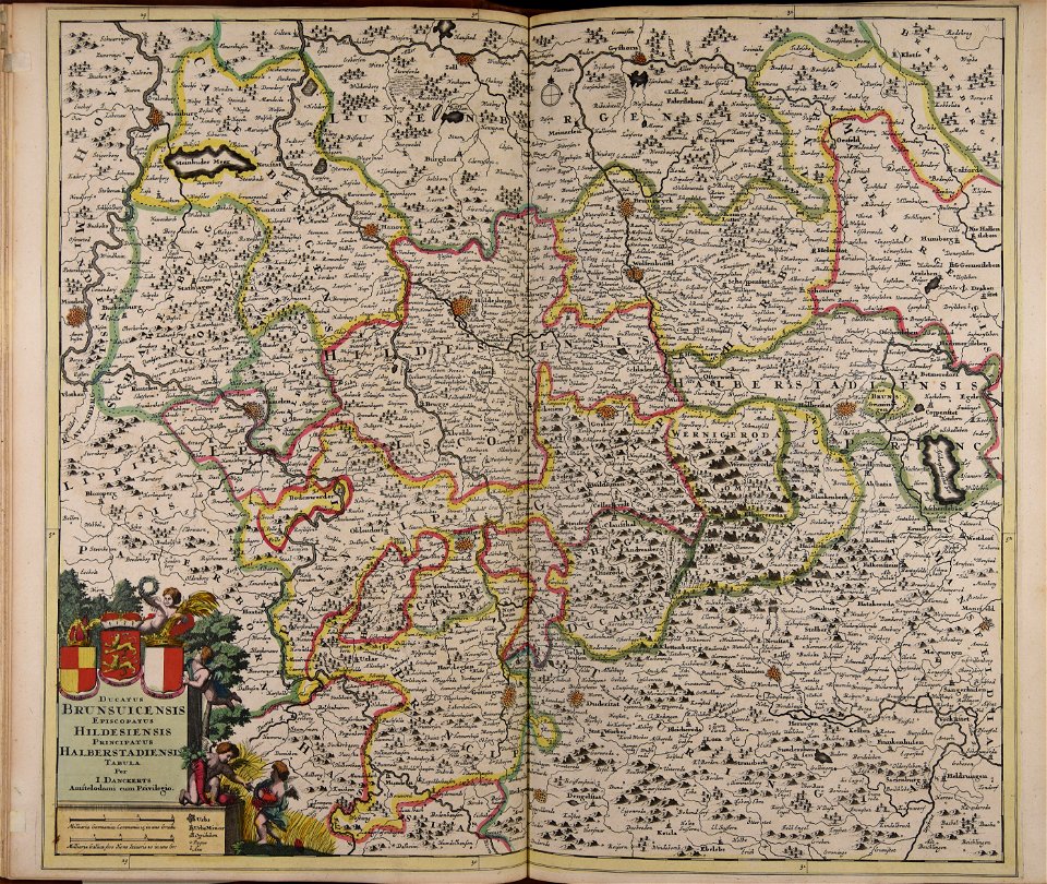
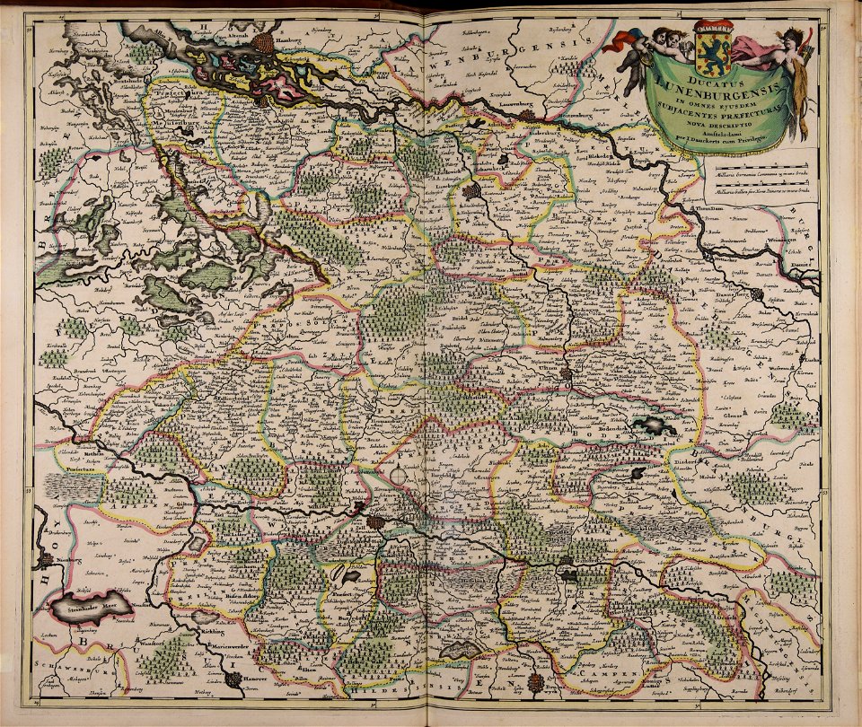
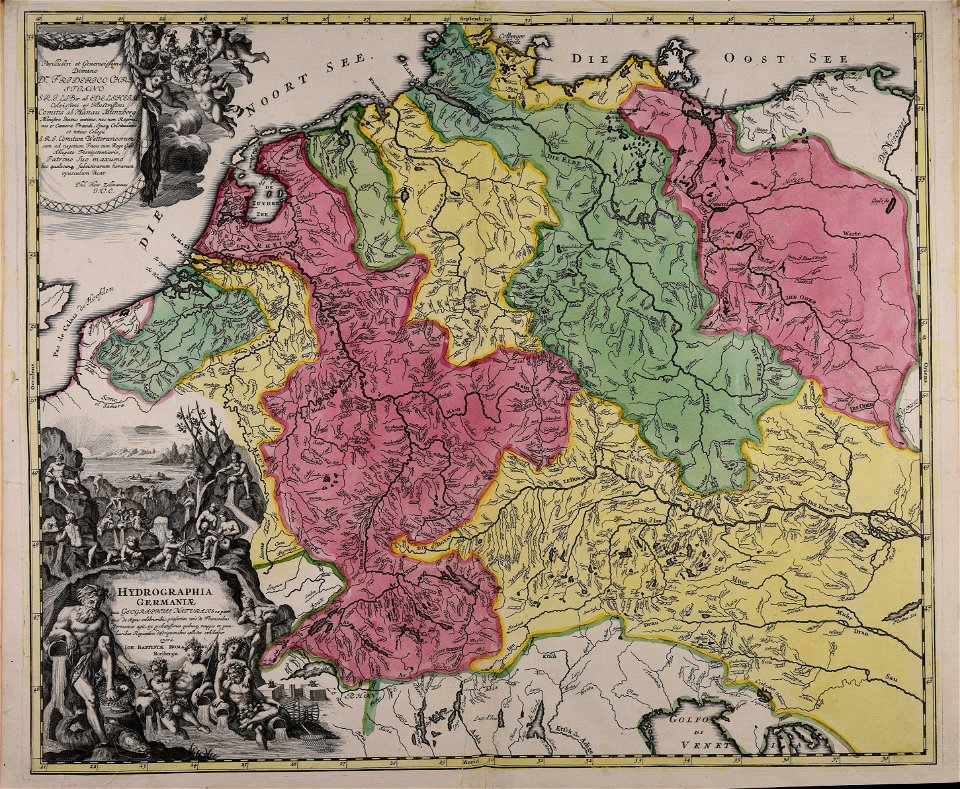
17th-century maps of lower saxony
atlantis magni tomus tertius (biblioteca comunale di trento)
maps made in the 17th century
maps made in the 17th century
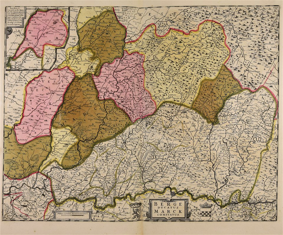
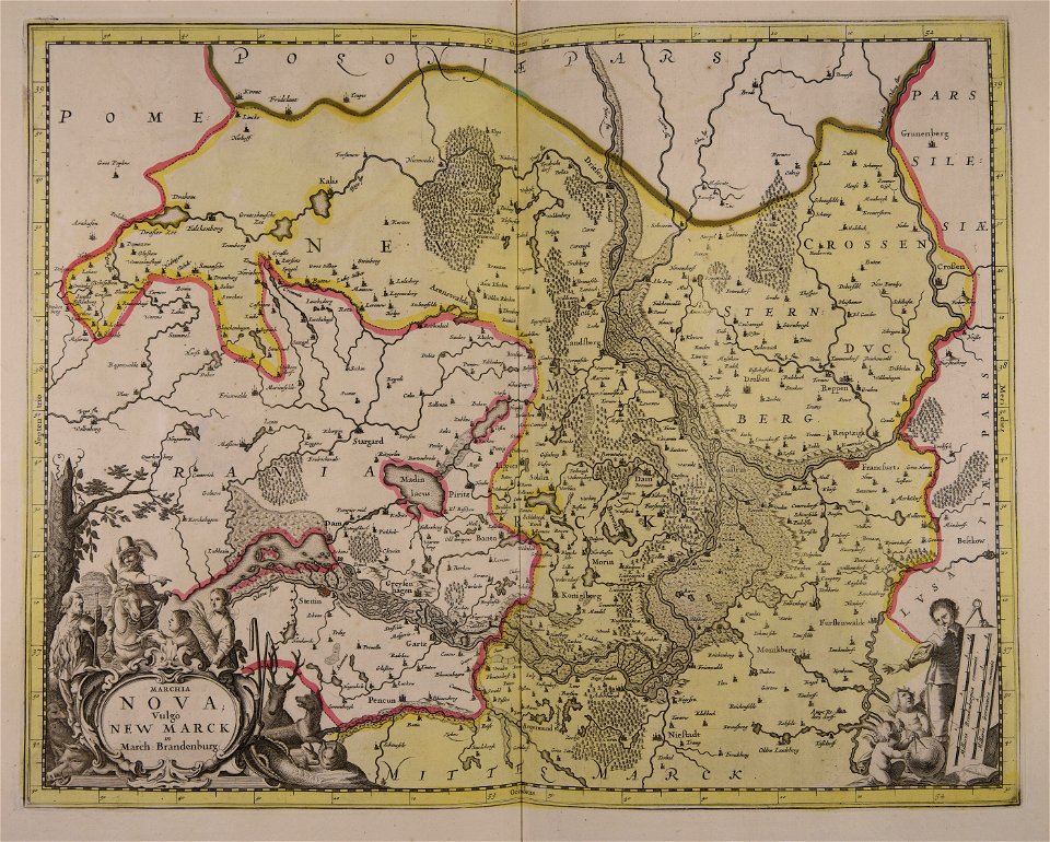
maps of the county of mark
maps made in the 17th century
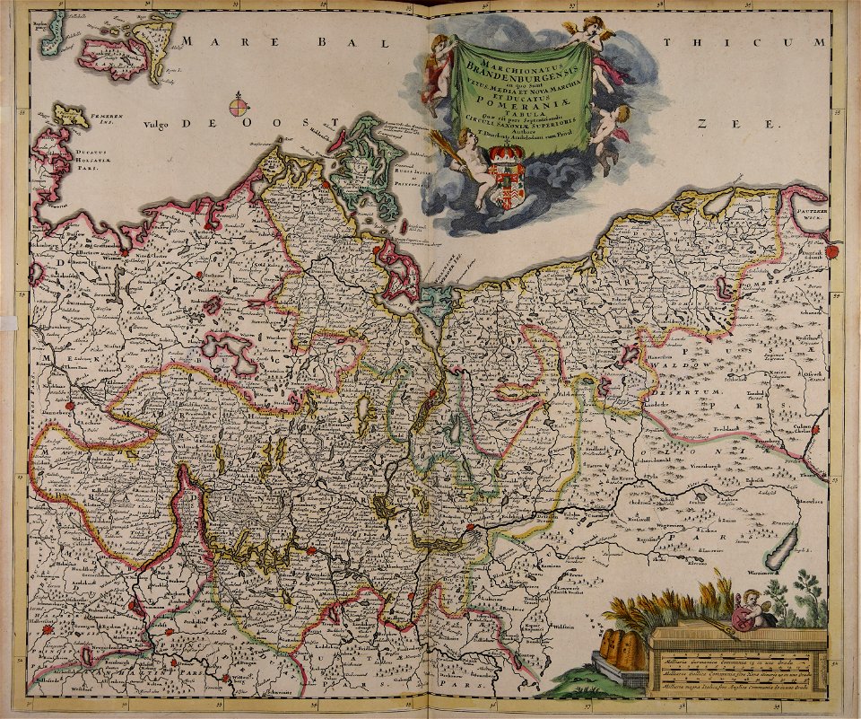
old maps of brandenburg
atlantis magni tomus tertius (biblioteca comunale di trento)
johann baptist homann
maps made in the 17th century
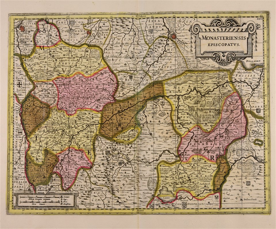
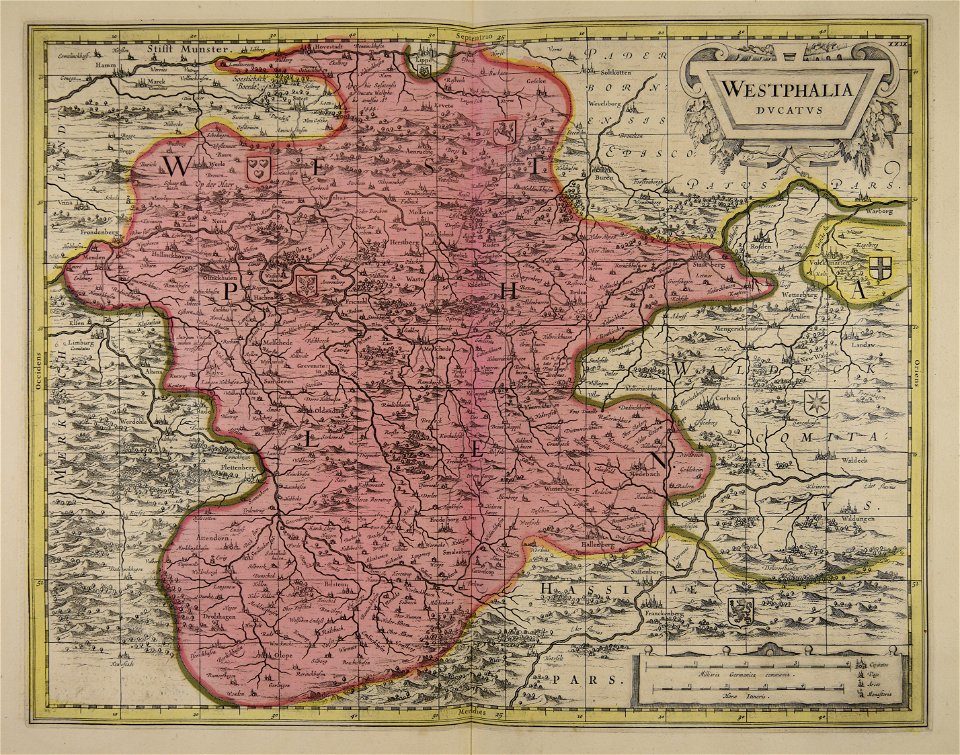
old maps of westphalia
maps made in the 18th century
johann baptist homann
maps made in the 18th century
johann baptist homann
atlantis magni tomus tertius (biblioteca comunale di trento)
maps made in the 17th century
atlantis magni tomus tertius (biblioteca comunale di trento)
maps made in the 17th century
atlantis magni tomus tertius (biblioteca comunale di trento)
maps made in the 17th century
atlantis magni tomus tertius (biblioteca comunale di trento)
maps made in the 18th century
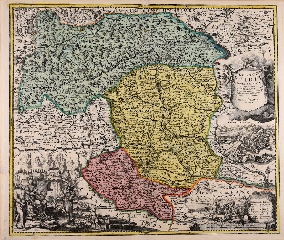
johann baptist homann
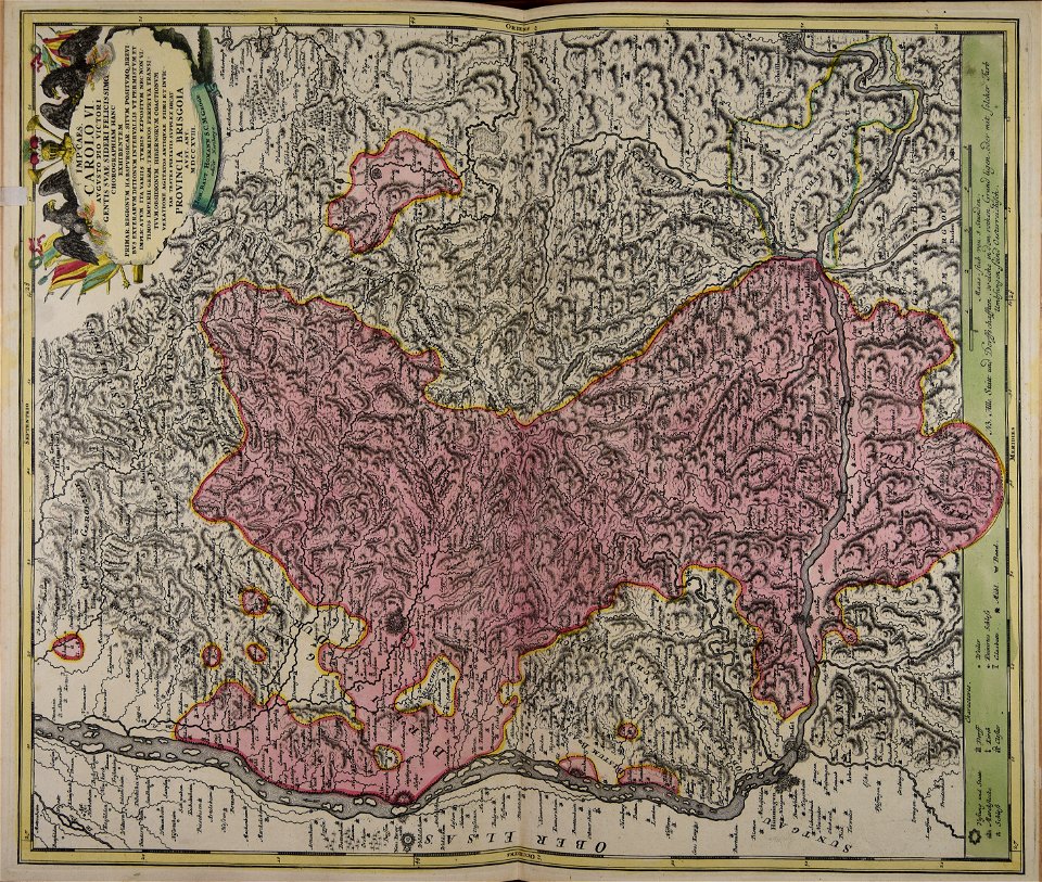
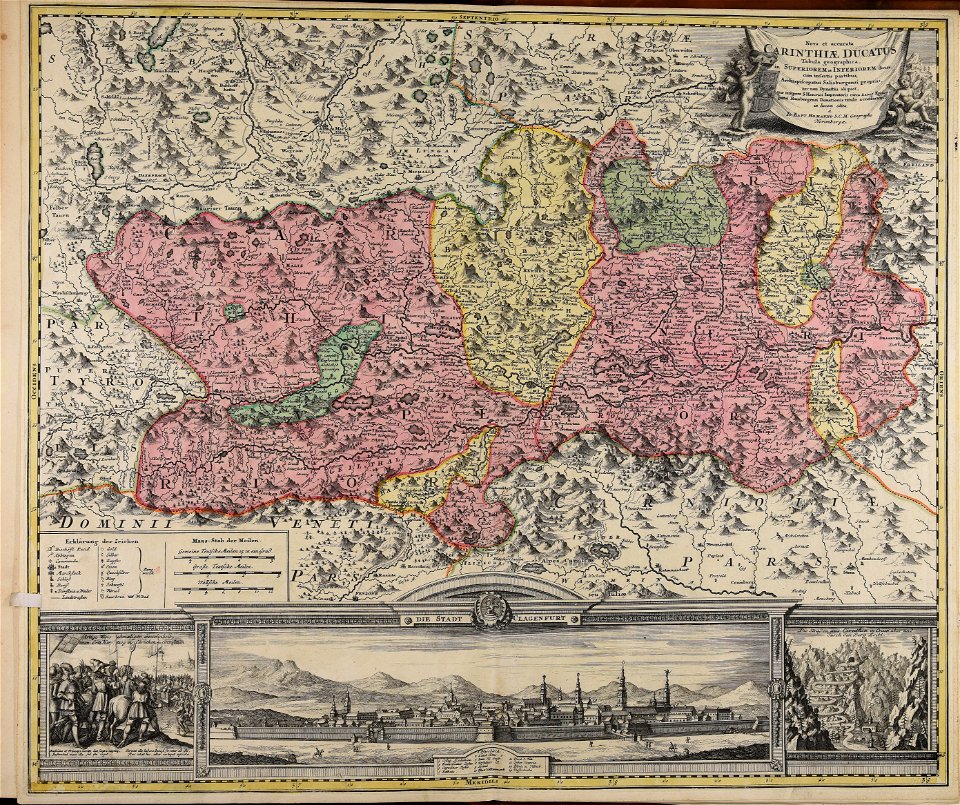
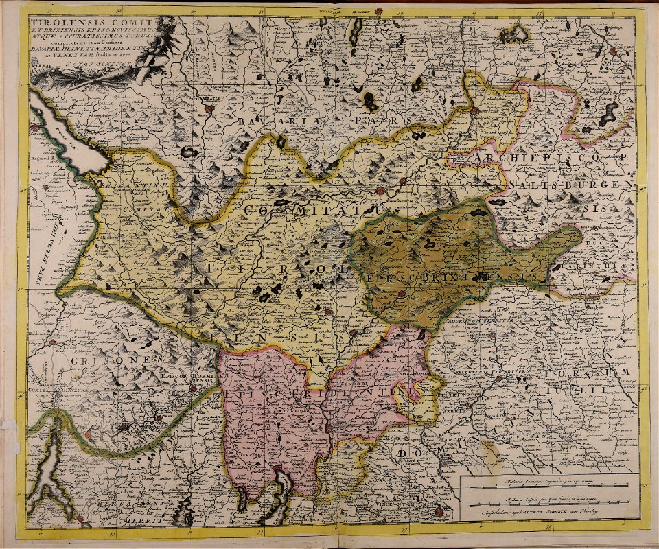
old maps of styria
atlantis magni tomus tertius (biblioteca comunale di trento)
maps made in the 17th century
maps made in the 18th century
johann baptist homann
maps made in the 17th century
maps by pieter schenk (i)
atlantis magni tomus tertius (biblioteca comunale di trento)
maps made in the 18th century
maps made in the 17th century
old maps of lower saxony
atlantis magni tomus tertius (biblioteca comunale di trento)
maps made in the 17th century
maps made in the 17th century
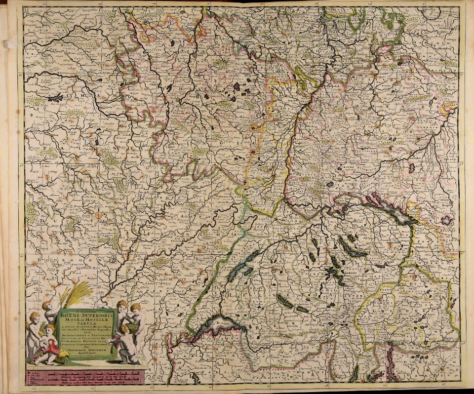
old maps of alsace
maps made in the 17th century
old maps of westphalia
maps made in the 18th century
johann baptist homann
maps made in the 18th century
johann baptist homann
maps made in the 17th century
old maps of europe
atlantis magni tomus tertius (biblioteca comunale di trento)
maps made in the 17th century
maps made in the 18th century
johann baptist homann
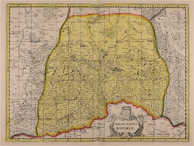
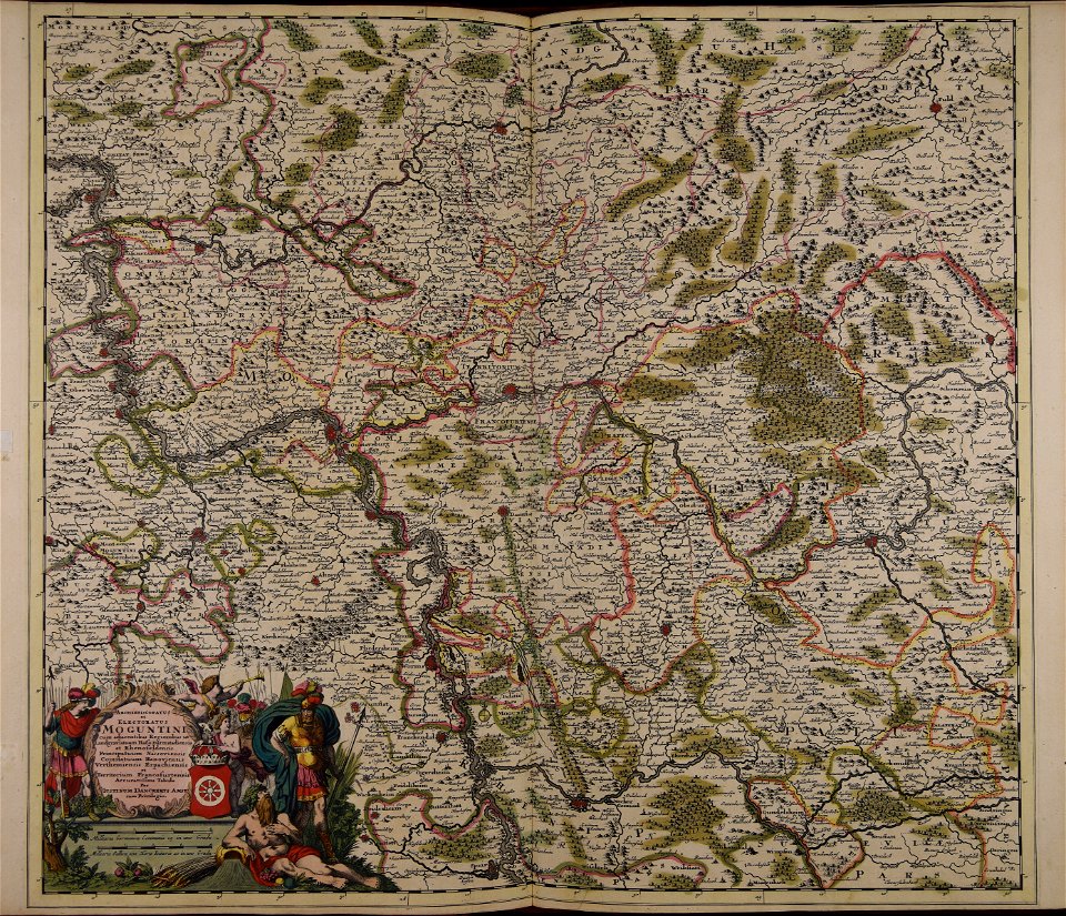
old maps of rhineland-palatinate
maps made in the 17th century
maps made in the 18th century
johann baptist homann
maps made in the 18th century
old maps of europe
maps made in the 18th century
johann baptist homann
maps made in the 18th century
johann baptist homann
maps made in the 18th century
johann baptist homann
maps made in the 17th century
gulf of trieste
maps made in the 17th century
maps by johannes janssonius
maps made in the 18th century
johann baptist homann
atlantis magni tomus tertius (biblioteca comunale di trento)
maps made in the 17th century
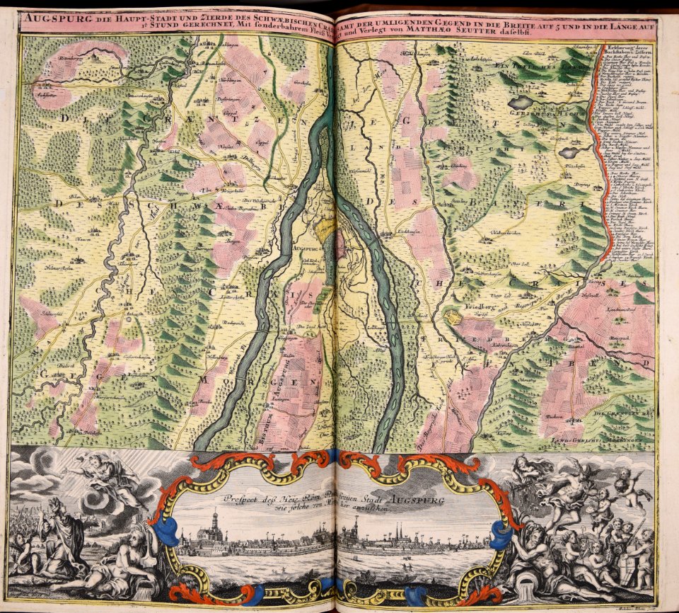
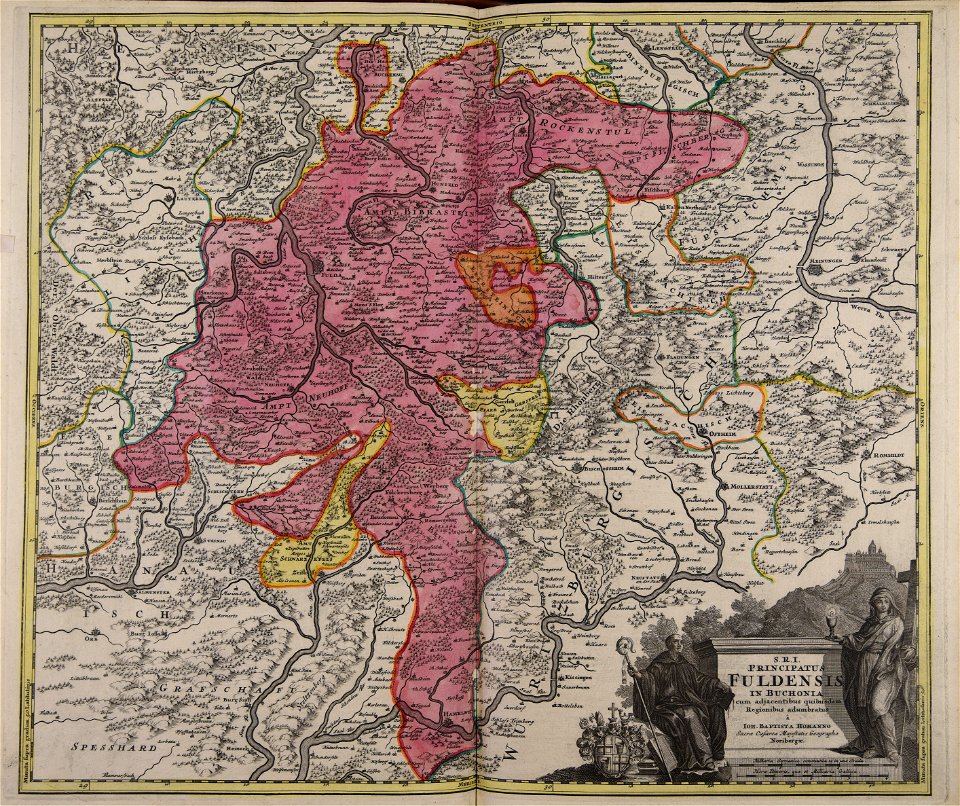
old maps of frankfurt am main
johann baptist homann
maps made in the 17th century
cornelis danckerts (ii)
maps made in the 17th century
frederick de wit
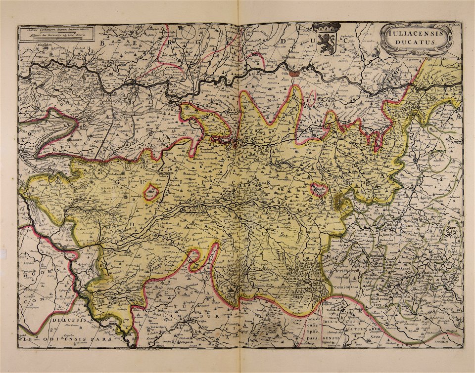
atlantis magni tomus tertius (biblioteca comunale di trento)
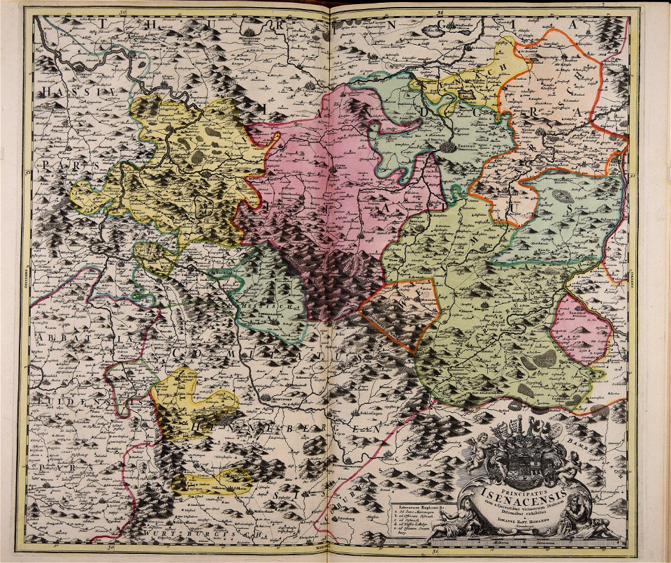
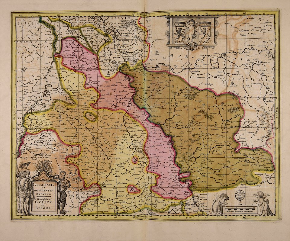
maps of territories in the electoral rhenish circle
maps made in the 18th century
johann baptist homann
maps made in the 17th century
maps by pieter schenk (i)
maps made in the 18th century
johann baptist homann
maps made in the 17th century
maps by johannes janssonius
maps made in the 18th century
johann baptist homann
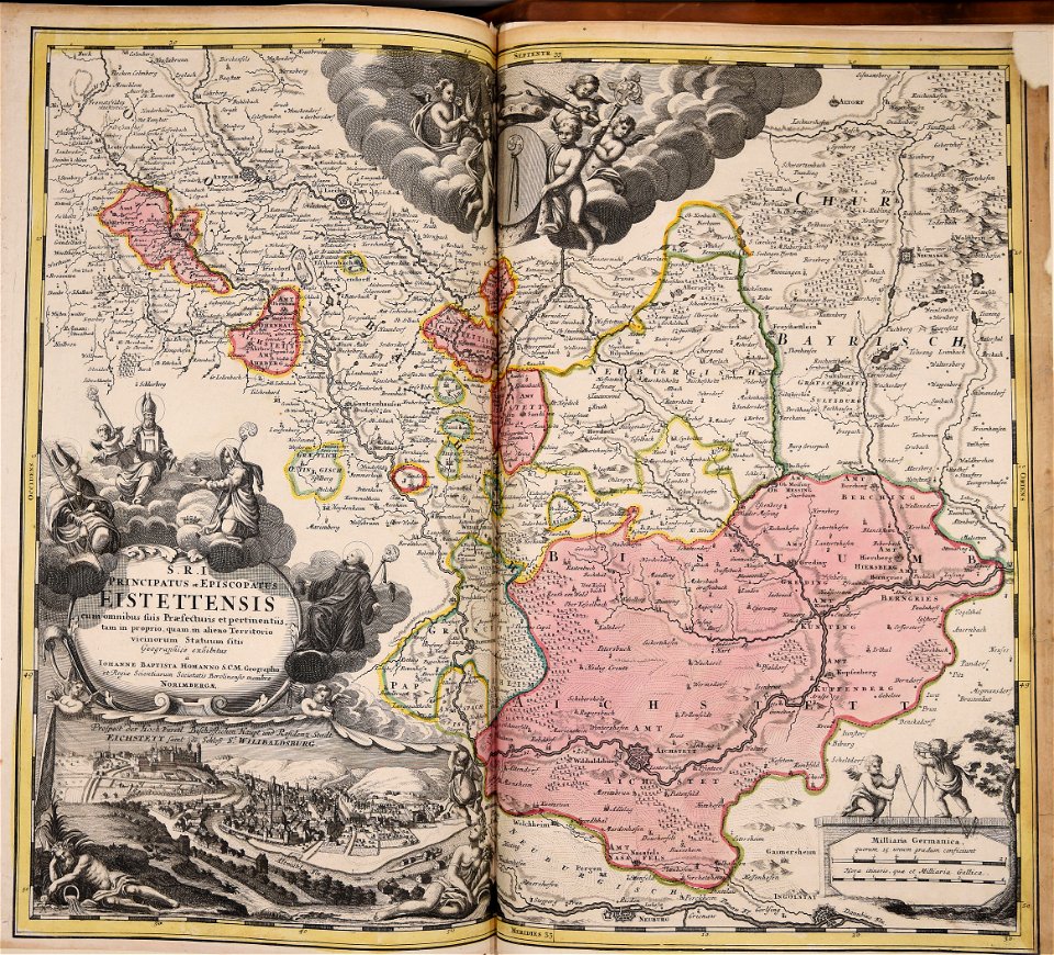
old maps of salzburg (state)
johann baptist homann
maps made in the 18th century
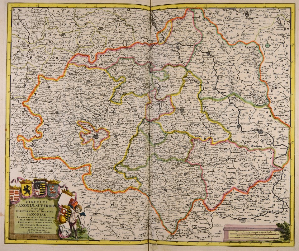
old maps of saxony
maps made in the 18th century
old maps of europe
atlantis magni tomus tertius (biblioteca comunale di trento)
maps made in the 17th century
maps made in the 18th century
johann baptist homann
maps made in the 18th century
johann baptist homann
maps made in the 18th century
johann baptist homann
maps made in the 18th century
johann baptist homann
maps made in the 18th century
johann baptist homann
maps made in the 18th century
johann baptist homann
maps made in the 18th century
old maps of europe
maps made in the 17th century
old maps of trentino
maps made in the 18th century
johann baptist homann
maps made in the 17th century
guillaume sanson
maps made in the 18th century
johann baptist homann
maps made in the 18th century
johann baptist homann
maps made in the 18th century
old maps of europe
maps made in the 18th century
johann baptist homann
maps made in the 17th century
maps by nicolas sanson
maps by pieter schenk (i)
gerard valck
old maps of nuremberg
johann baptist homann
maps made in the 18th century
johann baptist homann
maps made in the 18th century
johann baptist homann
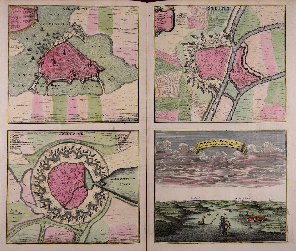
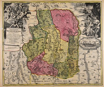
maps of mecklenburg-schwerin
old maps of mecklenburg
17th-century maps of lower saxony
maps of the duchy of oldenburg
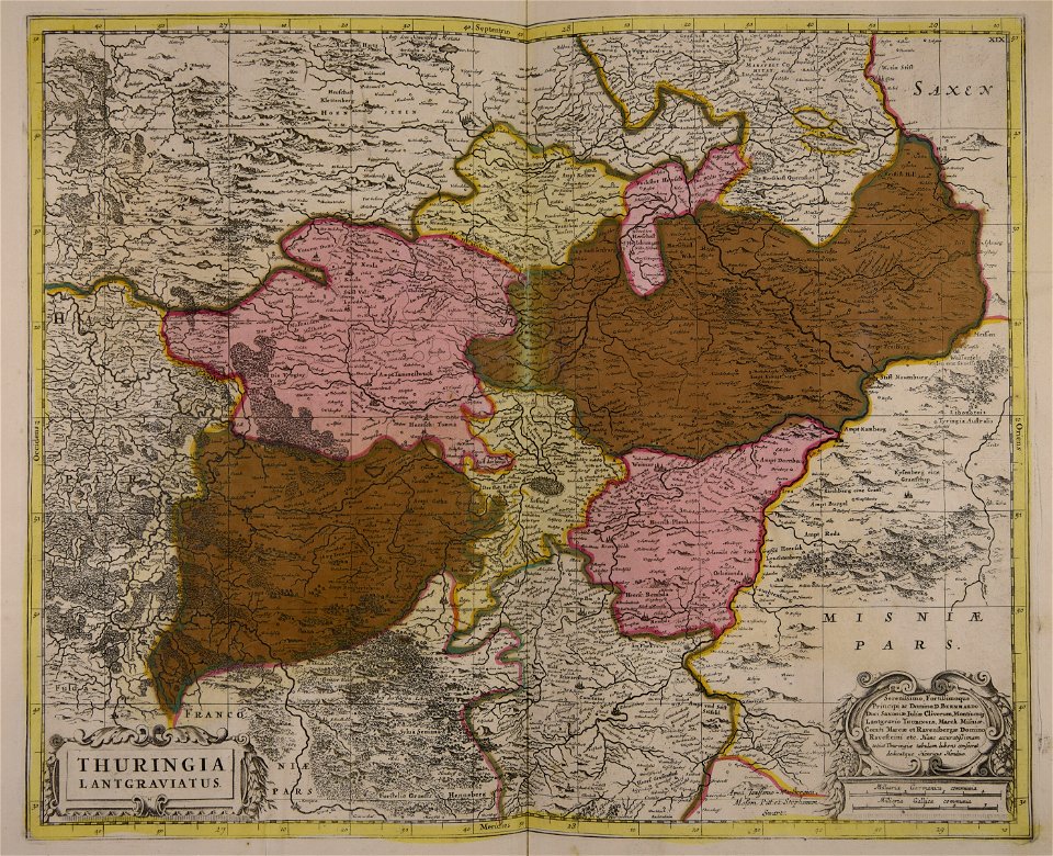
17th-century maps of lorraine
old maps of pays messin
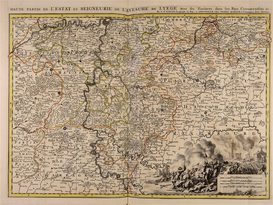
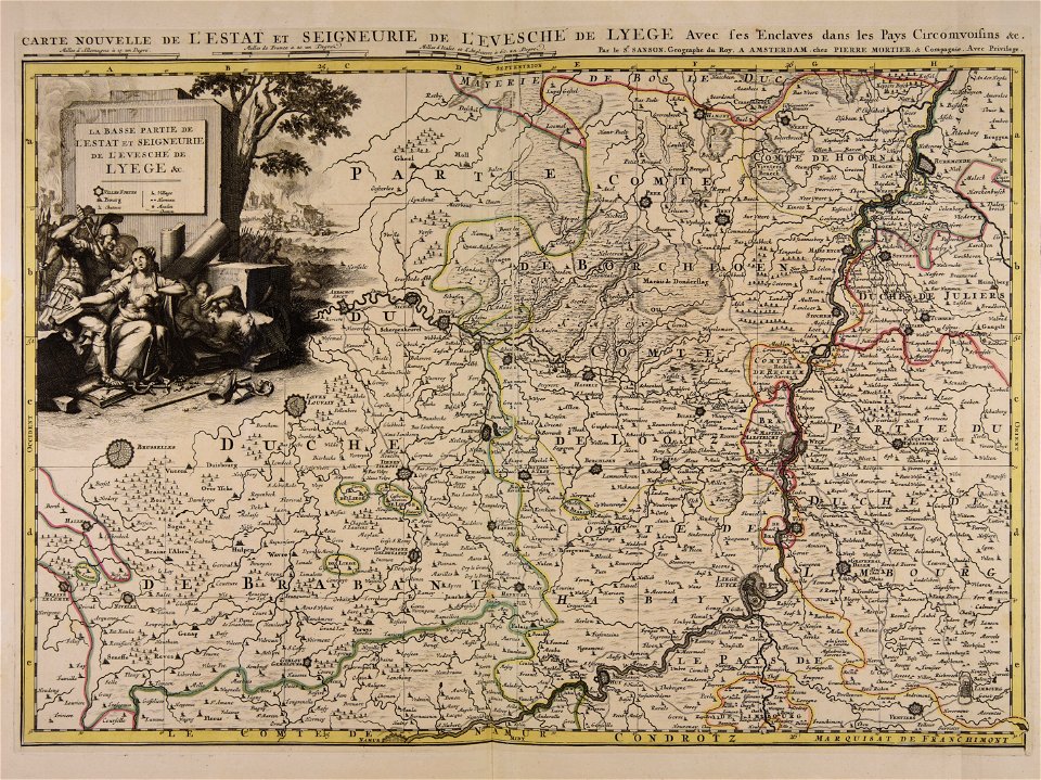
maps of the roman catholic diocese of liège
maps made in the 17th century
maps of the roman catholic diocese of liège
maps made in the 17th century
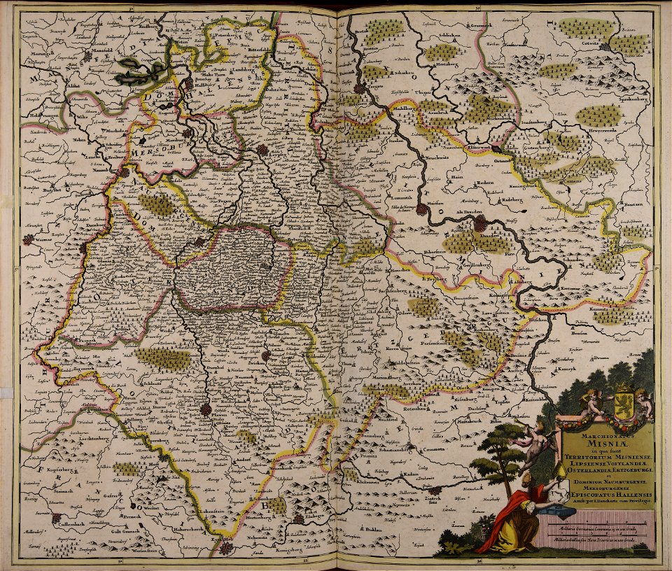
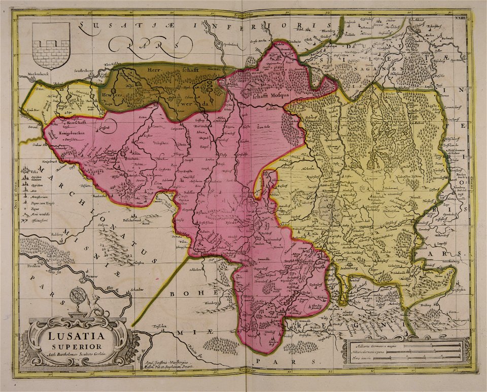
17th-century maps of saxony
old maps of vogtland
atlantis magni tomus tertius (biblioteca comunale di trento)
cornelis danckerts (ii)
old maps of ravenstein, germany
maps made in the 17th century
maps made in the 17th century
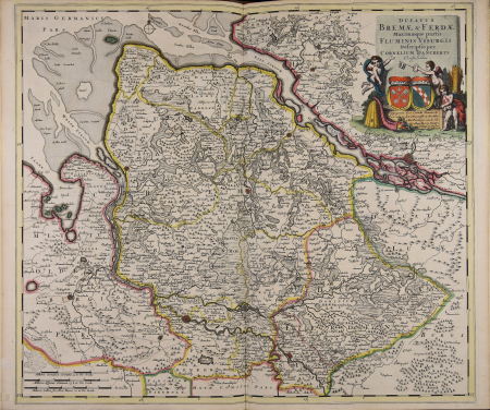
maps of the duchy of bremen
maps of the electorate of cologne
maps made in the 18th century
maps made in the 17th century
old maps of upper austria
maps made in the 17th century
old maps of alsace
17th-century maps of vienna
maps by nicolaes visscher i
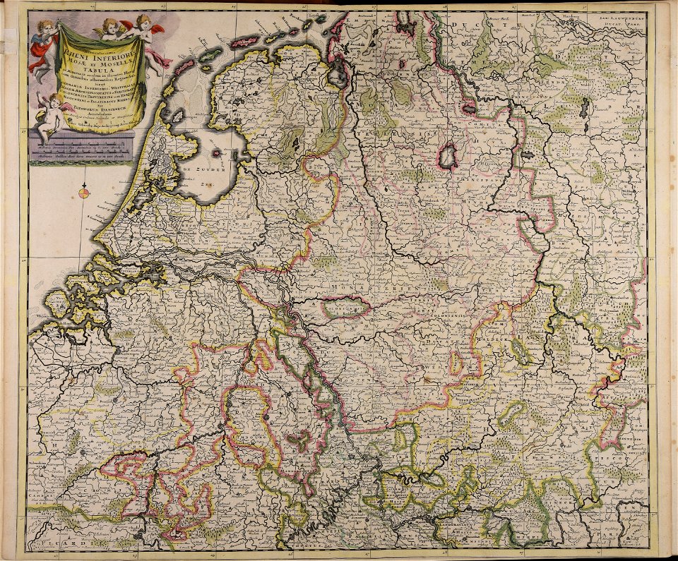
17th-century maps of the netherlands
maps of the wadden sea
1 - 93 of 93
/ 1