Log in
All resources
Create a design
27,441 Free Images of Maps
eran laor cartographic collection
africa in the 1890s
maps of africa
john rocque 1746 london map (a1-h3)
john rocque
maps from the earth and its inhabitants, vol. xii
people of african descent
bibliothèque nationale de france
description de l'universe
alain manesson mallet
maps by christian sgrothen
maps of rur
17th-century maps of the near east
description de l'universe
turgot map of paris, david rumsey historical map collection – derivative files
palais des tuileries in art
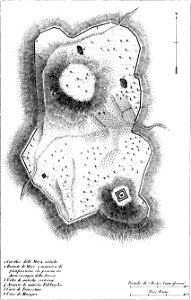
maps of archaeological sites in italy
storia degli antichi popoli italiani
eran laor cartographic collection
renaissance
eran laor cartographic collection
william hughes (geographer)
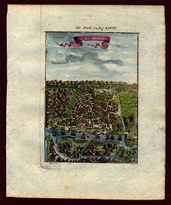
city gates in gouda
old maps of gouda
eran laor cartographic collection
william hughes (geographer)
eran laor cartographic collection
joan blaeu
eran laor cartographic collection
cornelis de bruyn
eran laor cartographic collection
cornelis de bruyn
eran laor cartographic collection
william hughes (geographer)
maps in the topographia austriacarum (merian)
baroque
eran laor cartographic collection
william hughes (geographer)
eran laor cartographic collection
william hughes (geographer)
old maps of the tribes of israel
old maps of ancient israel
map of paris by jouvin de rochefort (boutier 112)
maps of paris by françois de la pointe
maps of hamburg by braun & hogenberg
1594 maps of hamburg
ferrariae ducatus (galleria delle carte geografiche)
bibliothèque nationale de france
maps by tomas lopez
maps from gallica
guides joanne
maps of carmel valley, california
james meadows
old maps of frankfurt (oder)
old maps of brandenburg
media contributed by university of illinois urbana-champaign university library
carte du mexique et de la floride by guillaume delisle (1703)
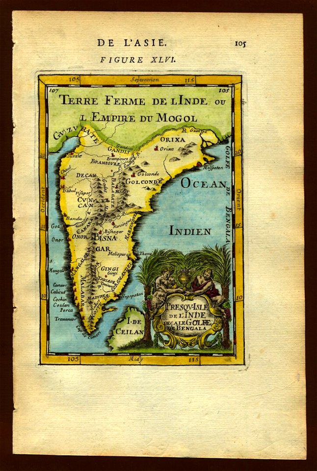
description de l'universe
old maps of goa
description de l'universe
deccan sultanates
claes jansz. visscher (ii)
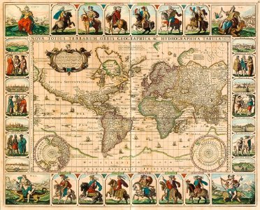
1650s maps of the world
description de l'universe
old maps of goa
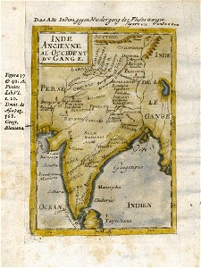
17th-century maps of india
description de l'universe
maps from géographie illustrée de la france et de ses colonies
19th-century maps of calvados
everett d. graff collection of western americana
maps of the united states
description de l'universe
1680s maps of the world
18th-century maps of bretagne
robert cordier (engraver)
maps in the british museum
maps of naval battles
old maps of genoa
nicolò armanino
antoine-françois tardieu
maps from gallica
antoine-françois tardieu
maps from gallica
old maps of genoa
nicolò armanino
1600 world map by girolamo porro
leonardo cernoti
1600 world map by girolamo porro
leonardo cernoti
geographia universalis (1545) in the british museum
german renaissance,northern renaissance
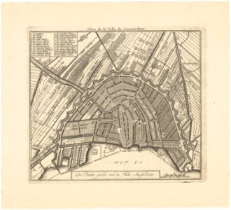
maps in the stadsarchief amsterdam
daniel stoopendaal
media from regionaal archief alkmaar
sint pancras
plan de roussel - derivative files
maps of montrouge
media from regionaal archief alkmaar
egmond-binnen
maps from university of amsterdam special collections
atlas der neederlanden
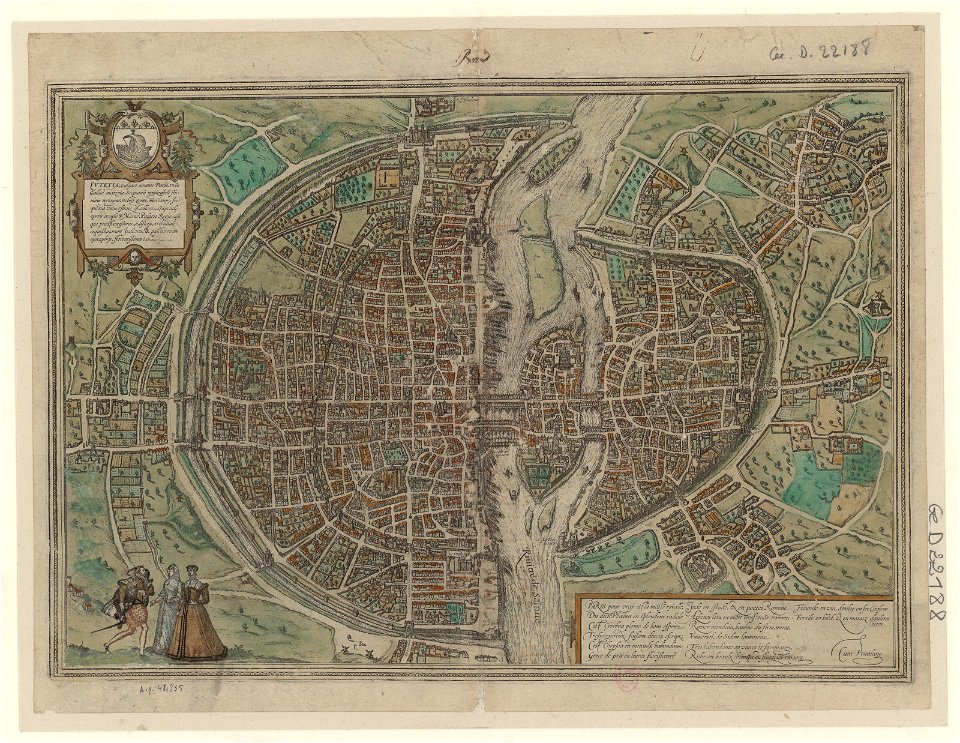
maps of paris by braun & hogenberg
frans hogenberg
maps by willem and johannes blaeu
old maps of the peloponnese
typus orbis terrarum
1570 maps
maps of bergen (norway) by braun & hogenberg
1580s engravings
maps by willem and johannes blaeu
maps of tiel
cartouches by willem and johannes blaeu
iceland map by joris carolus
1600 world map by girolamo porro
girolamo porro
maps of persia by mercator-hondius
print room of the university of antwerp
18th-century maps of antwerp
old maps of the moon
tobias mayer
hofgartenstraße (düsseldorf)
romanticism
eran laor cartographic collection
nicolas langlois
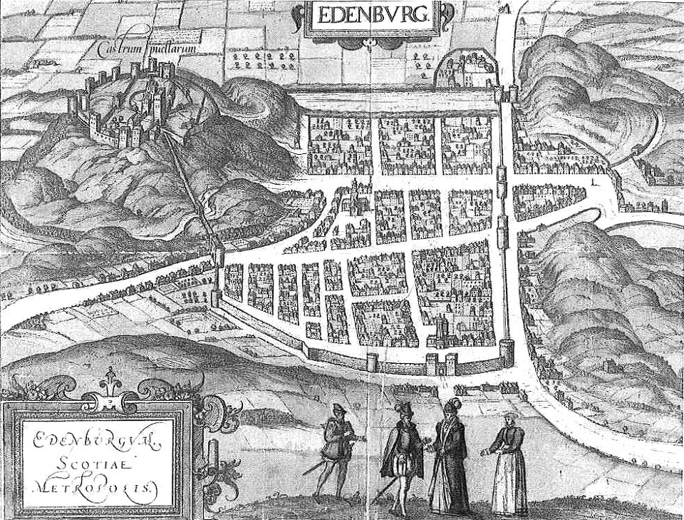
maps of edinburgh by braun & hogenberg
16th-century maps of scotland
a map of the pontine marshes (rcin 912684)
high renaissance,renaissance
maps from the earth and its inhabitants, vol. xii
africa in the 1890s
maps from the earth and its inhabitants, vol. xii
africa in the 1890s
maps from the earth and its inhabitants, vol. xiii
africa in the 1890s
maps from the earth and its inhabitants, vol. xii
africa in the 1890s
maps from the earth and its inhabitants, vol. xii
africa in the 1890s
maps of augsburg by braun & hogenberg
eran laor cartographic collection
maps from the earth and its inhabitants, vol. xii
africa in the 1890s
maps from the earth and its inhabitants, vol. xii
africa in the 1890s
maps by willem and johannes blaeu
fort rammekens in art
maps from the earth and its inhabitants, vol. xii
africa in the 1890s
maps from the earth and its inhabitants, vol. xiii
africa in the 1890s
1600s maps of lower saxony
maps by abraham ortelius
maps of freiberg by braun & hogenberg
eran laor cartographic collection
17th-century maps of herefordshire
1646 maps
maps from the earth and its inhabitants, vol. xiii
africa in the 1890s
maps of cologne by braun & hogenberg
eran laor cartographic collection
maps from the earth and its inhabitants, vol. xiii
africa in the 1890s
maps from the earth and its inhabitants, vol. xii
africa in the 1890s
1720s maps of slovenia
1720 maps
gemeente atlas van nederland - south holland
19th-century maps of rotterdam
maps by nicolaes visscher i
1660 maps of france
map of amsterdam, 1544
cornelis anthonisz.
maps of aachen by braun & hogenberg
city walls of aachen
maps of liège by johannes blaeu - derivative files
maps of aachen by braun & hogenberg
city walls of aachen
maps by wilhelm maximilian carpelan
kvarnvikens kvarn
maps by wilhelm maximilian carpelan
maps of lidingö
topographischer atlas der schweiz
old maps of zürich
sicilia (galleria delle carte geografiche)
old maps of syracuse
john rocque 1746 london map (a1-h3)
john rocque
augustine ryther
oxford castle
john rocque 1746 london map (a1-h3)
john rocque
john rocque 1746 london map (a1-h3)
john rocque
john rocque 1746 london map (a1-h3)
john rocque
john rocque 1746 london map (a1-h3)
john rocque
john rocque 1746 london map (a1-h3)
john rocque
old maps of southeast asia
carolus allard
john rocque 1746 london map (a1-h3)
john rocque
john rocque 1746 london map (a1-h3)
john rocque
john rocque 1746 london map (a1-h3)
john rocque
8101 - 8200 of 27,441
Next page
/ 275