Log in
All resources
Create a design
198 Free Artworks of 1720 Maps
latin-language maps
maps of lidingö
1720s
johann baptist homann
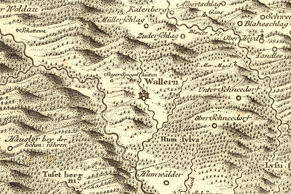
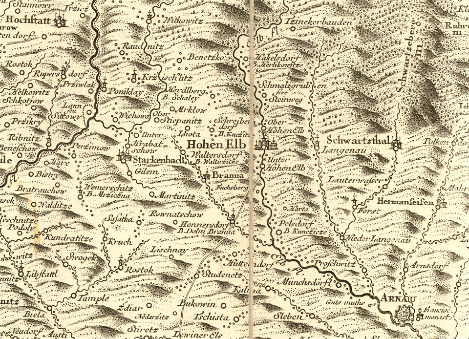
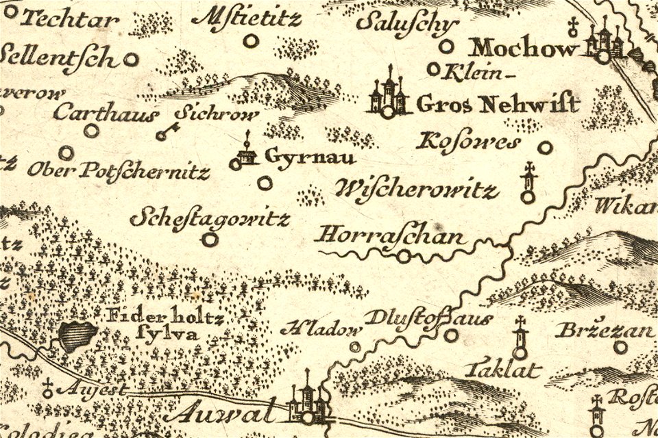
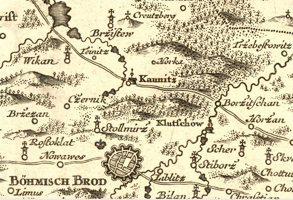
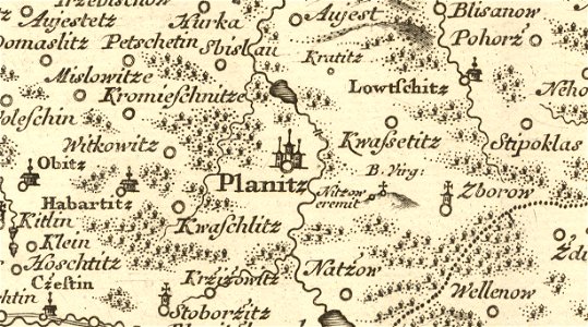
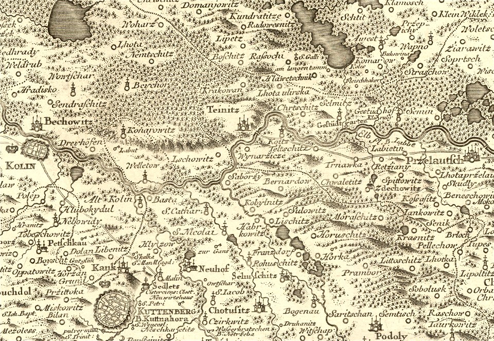
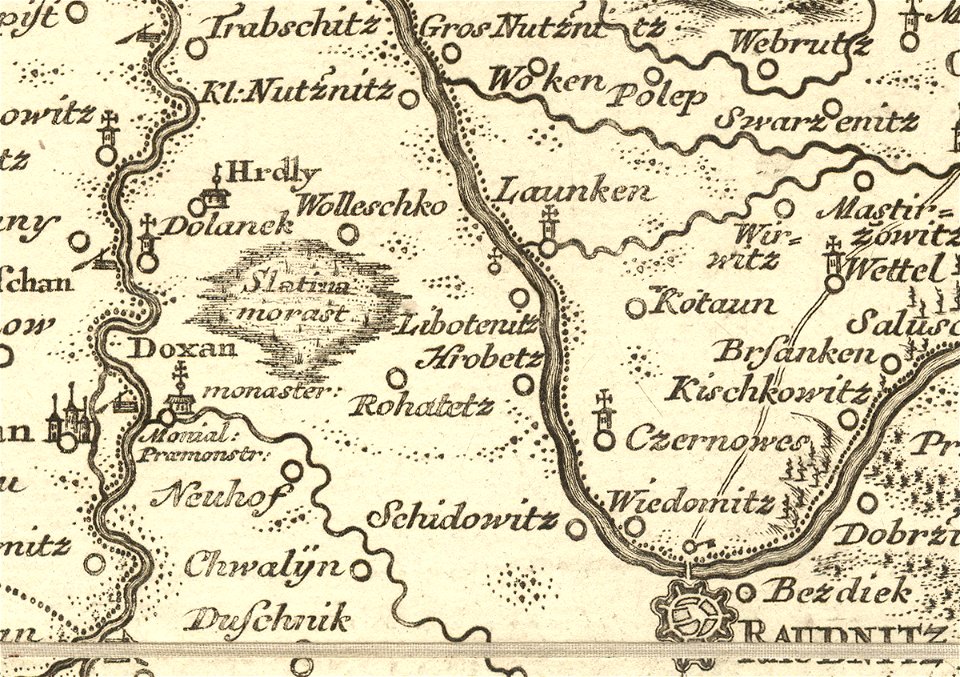
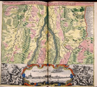
details of müller's map of bohemia
maps by christoph weigel
danubius pannonico-mysicus
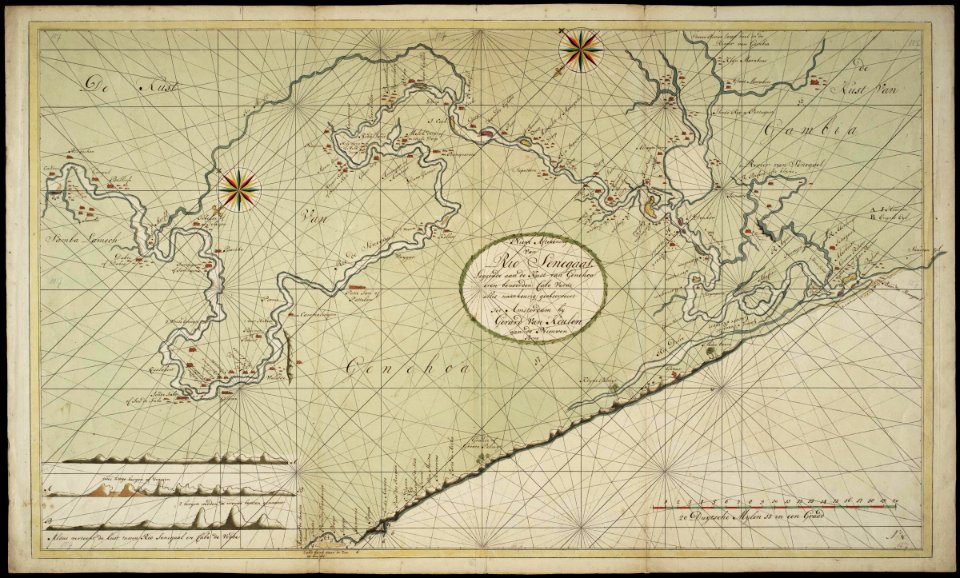
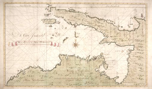
maps of the west-indische compagnie
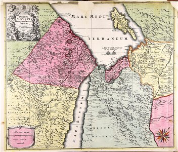
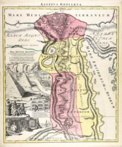
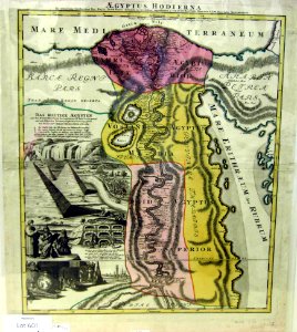
1720s maps of egypt
copperplate print
carte de france by guillaume delisle (1721)
philippe buache
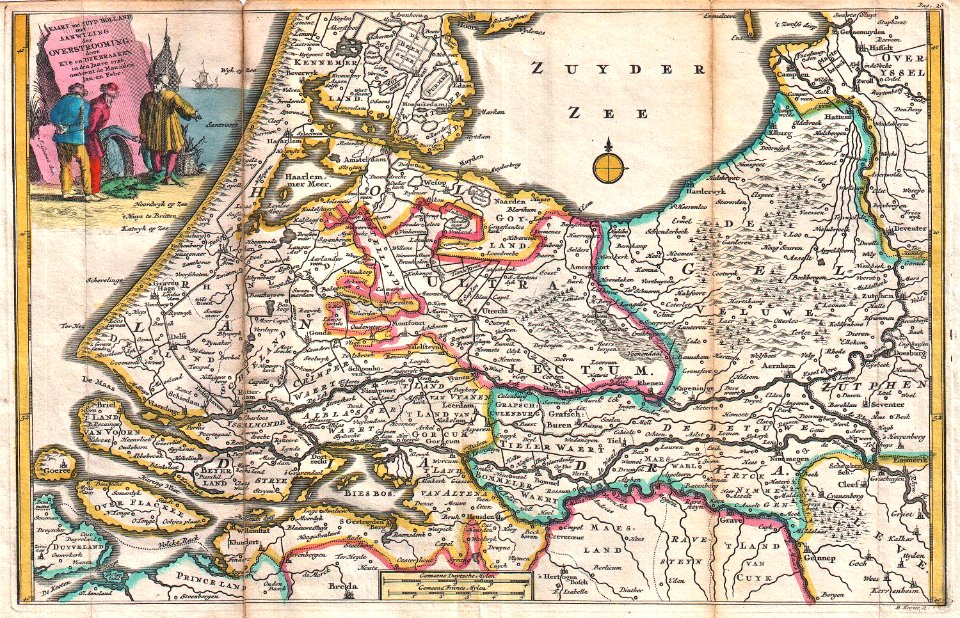
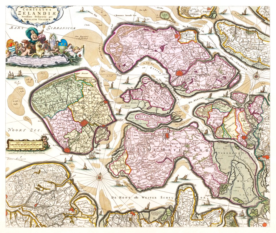
kaart van het baljuwschap kennemerland
maps in the rijksmuseum amsterdam
18th-century maps of the caucasus
latin-language maps
18th-century maps of italy
johann baptist homann
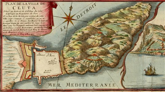
old maps of gibraltar
covens en mortier
johann baptist homann
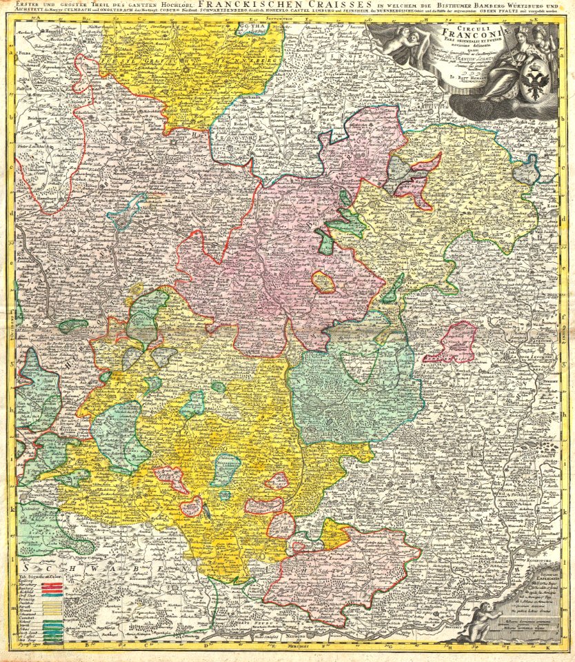
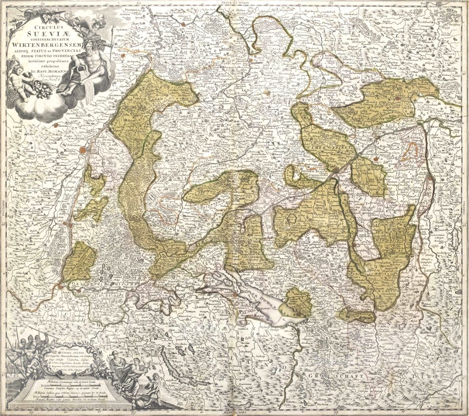
maps of franconia
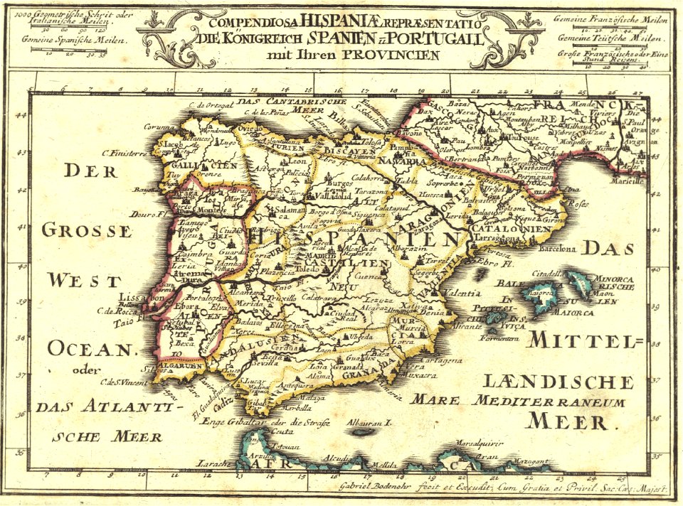
1720s maps of portugal
1720s maps of spain
maps by christoph weigel
1720 maps
johann baptist homann
latin-language maps
johann baptist homann
latin-language maps
engravings of palaio frourio (corfu)
1720 maps
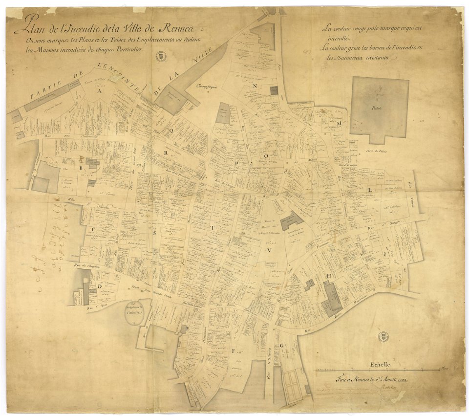
great rennes fire of 1720
old maps of rennes
details of müller's map of bohemia
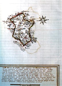
maps of přibyslav
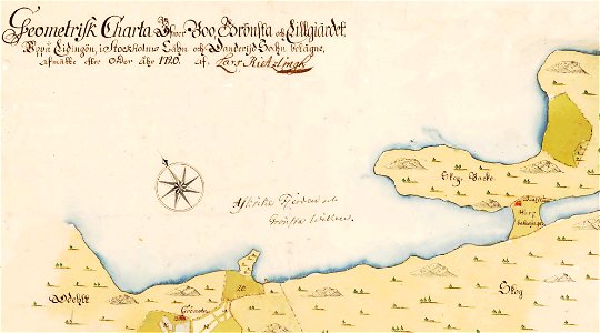
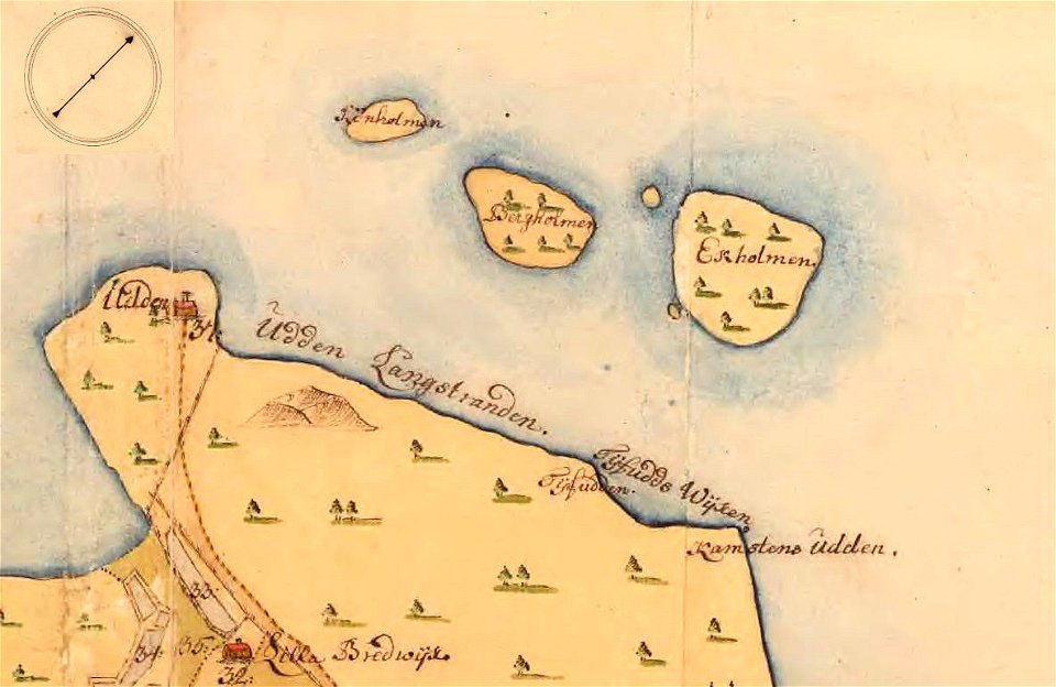
old maps of stockholm county
maps of lidingö
maps of lidingö
grönstaviken
18th-century maps of puerto rico
18th-century maps of cuba
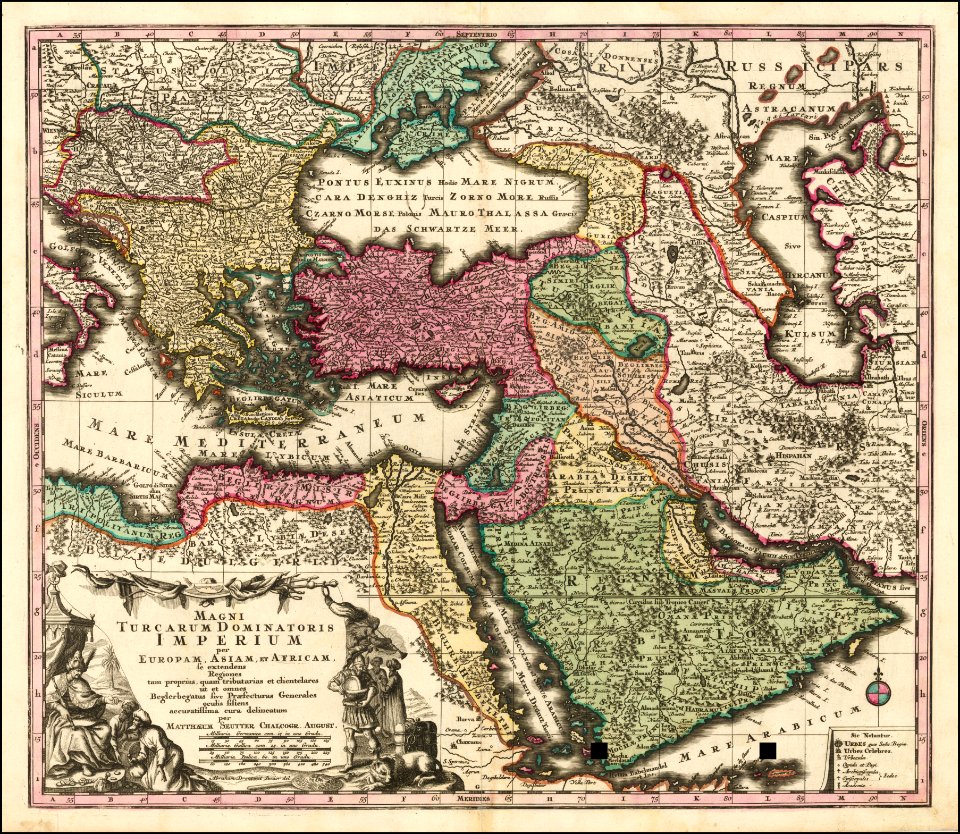
maps by matthäus seutter
latin-language maps
details of müller's map of bohemia
maps of volary
old maps of livorno
details of müller's map of bohemia
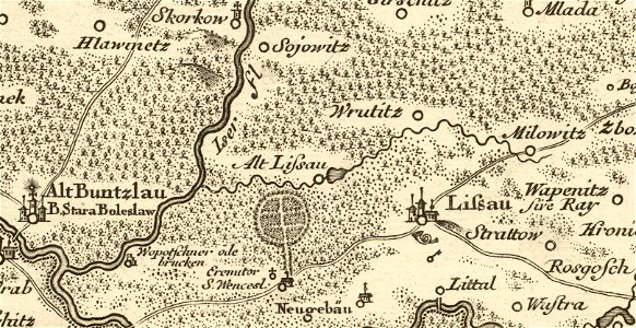
maps of stará lysá
maps by matthäus seutter
latin-language maps
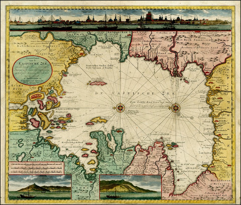
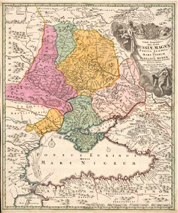
old maps of the caspian sea
1720 maps of georgia
details of müller's map of bohemia
history of vrchlabí
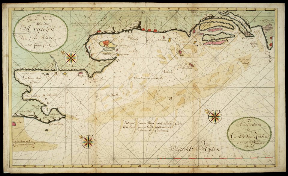
maps of the west-indische compagnie
1720s
maps of the west-indische compagnie
1720s
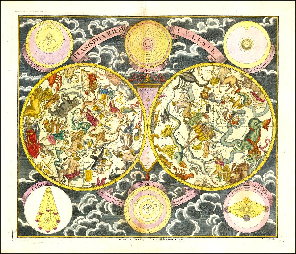
georg christoph eimmart
old celestial maps
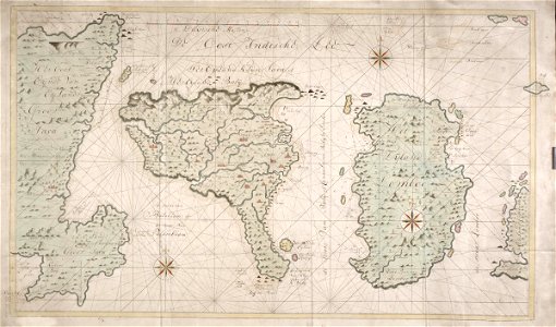
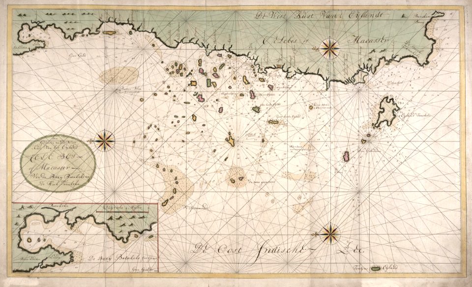
maps of the dutch east india company - indonesia
1720s
maps of lidingö
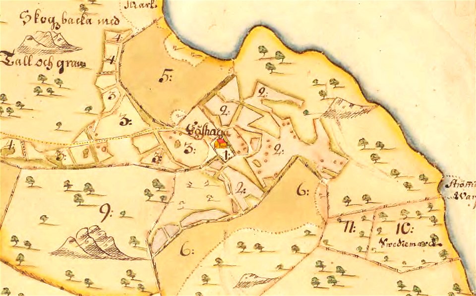
gåshaga gård
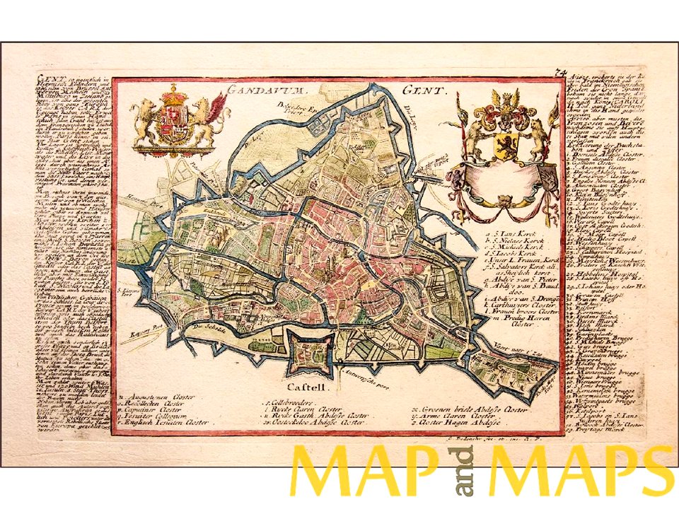
map of ghent by gabriel bodenehr
sticklinge gård
maps of lidingö
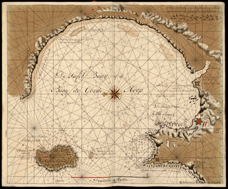
maps of the dutch east india company - south africa
1720s
maps of lidingö
skärsätra gård
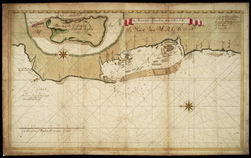
maps of the west-indische compagnie
1720s
maps of the west-indische compagnie
1720s
details of müller's map of bohemia
jirny
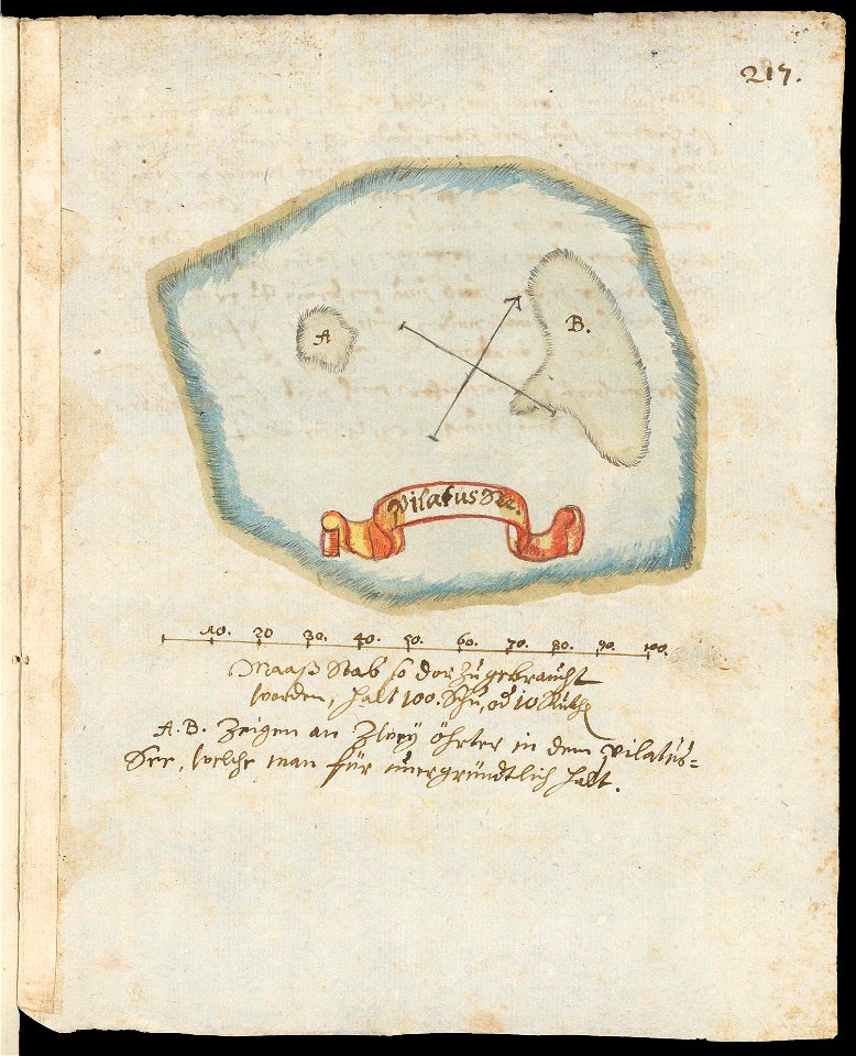
maps of lakes of switzerland
pilatussee
details of müller's map of bohemia
kounice
details of müller's map of bohemia
plánice
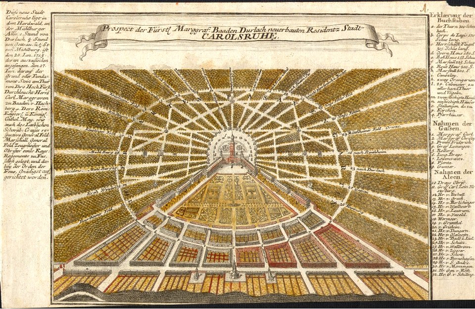
1720s maps of baden-württemberg
johann baptist homann
details of müller's map of bohemia
1720 maps of europe
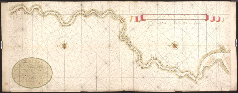
gerard van keulen
1720s
globe
maps
dutch bengal
1720s
history of leutkirch im allgäu
schloss zeil
cornell university library
pictorial maps
stora- och lilla bergholmen
strömsö
johannes ratelband
jan goeree
dutch bengal
1720s
gerard van keulen
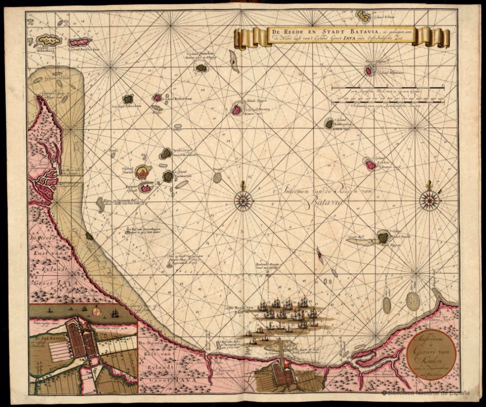
batavia
maps of lidingö
breviks gård
new holland (australia)
1720s
details of müller's map of bohemia
libotenice
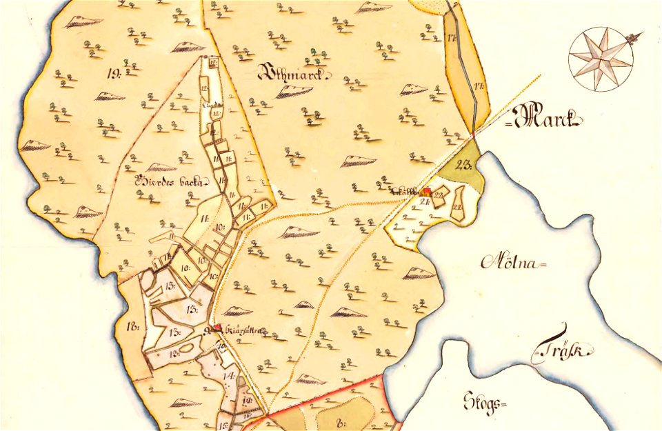
östra yttringe gård
yttringe
maps of lidingö
yttringe
gerard van keulen
copper engraving
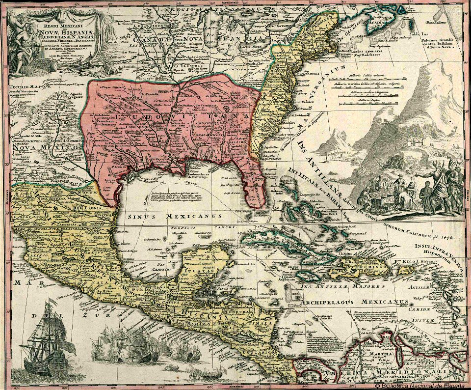
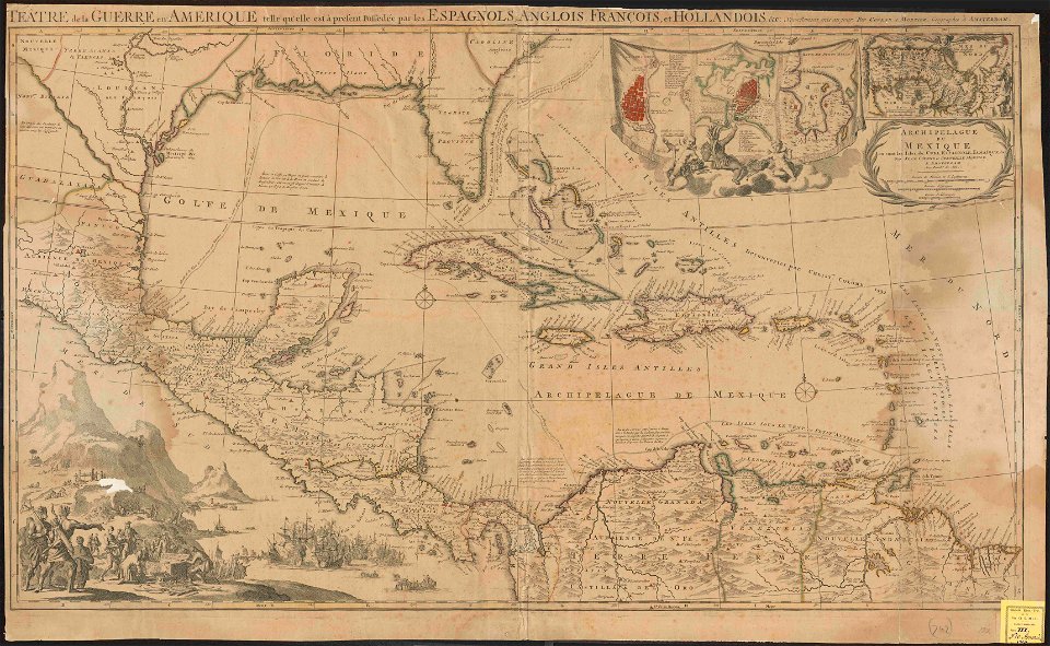
old maps of mexico
covens en mortier
world
maps
islands of california
nicolas de fer
atlantis magni tomus tertius (biblioteca comunale di trento)
maps made in the 18th century
maps in the library of congress
1720 maps
maps in the library of congress
1720 maps
latin-language maps
1725 maps
karlsruhe palace
gabriel bodenehr
spain in the 1720s
nicolas de fer
maps made in the 18th century
1720s maps of egypt
johann baptist homann
1720s maps of egypt
artworks without wikidata item
1720s maps of egypt
paintings by christoph bernhard francke in the herzog anton ulrich-museum
portrait paintings in the herzog anton ulrich-museum
danubius pannonico-mysicus
1720s maps of transylvania
danubius pannonico-mysicus
1726 books
maps of ancient israel by philippe de la rué
map of modern syria by philippe de la rué
danubius pannonico-mysicus
1720s maps of transylvania
18th-century maps of the caspian sea
1720s maps of the russian empire
maps by johann christoph weigel
maps by christoph weigel
maps by johann christoph weigel
maps by christoph weigel
1720 in sweden
1774 in sweden
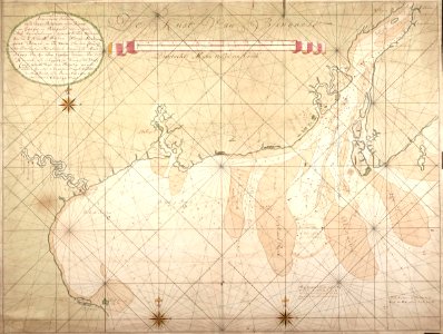
road maps of the united kingdom
bodleian maps collection
18th-century double hemisphere world maps
1720s maps of the world
1720s maps of slovenia
1720 maps
maps in the library of congress
1720s maps of palestine
maps from university of amsterdam special collections
atlas der neederlanden
cartouches by sanson family
pierre moullart-sanson
map of ghent by harrewijn
jacobus harrewijn
1720s maps showing history
1727 maps of africa
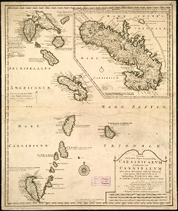
1720s maps of the caribbean
maps by pieter mortier
map of ghent by harrewijn
jacobus harrewijn
old maps of french guiana
old maps of venezuela
map of ghent by harrewijn
jacobus harrewijn
maps by emanuel bowen
britannia depicta
prints in the british museum
jacob folkema
prints in the british museum
jacob folkema
prints in the british museum
jacob folkema
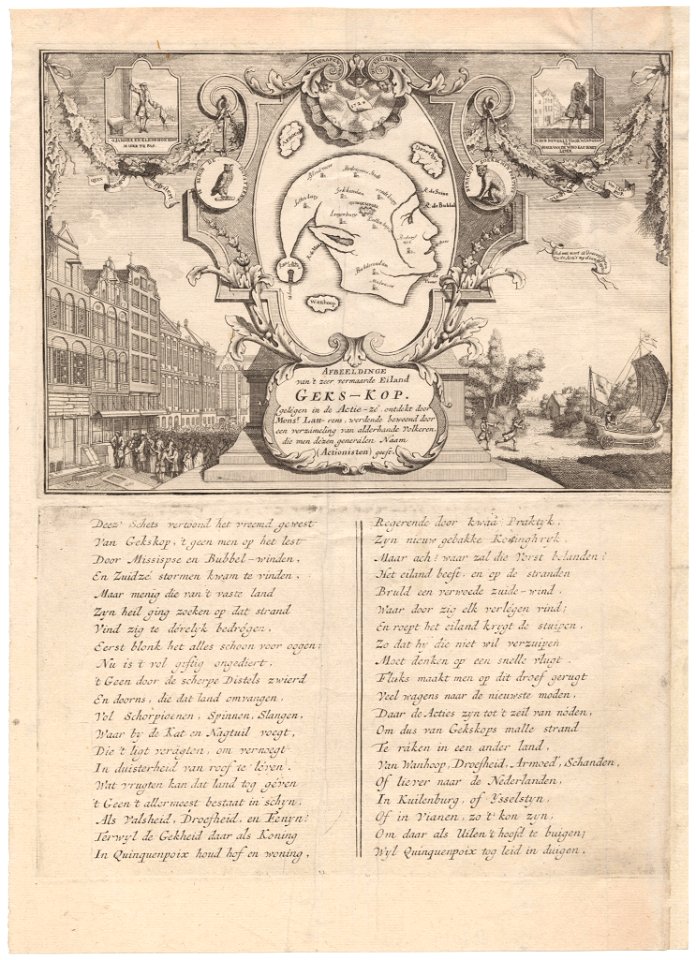
1720s fashion
realism
maps of ghent by petrus schenck
danubius pannonico-mysicus
1720s maps of hungary
eran laor cartographic collection
johann christoph haffner
maps from university of amsterdam special collections
atlas der neederlanden
maps from university of amsterdam special collections
atlas der neederlanden
sanson maps of the netherlands
cartouches by sanson family
danubius pannonico-mysicus
1720s maps of hungary
1 - 100 of 198
Next page
/ 2


![A new map of the world [cartographic material]: from the latest observations (1720) by John Senex.](https://cdn.creazilla.com/illustrations/1940323/a-new-map-of-the-world-cartographic-material-from-the-latest-observations-1720-b-md.jpeg)


![[The Road from Bristol to Banbury], 1720](https://cdn.creazilla.com/illustrations/10000189274/the-road-from-bristol-to-banbury-1720-md.jpg)