Log in
All resources
Create a design
27,441 Free Images of Maps
eran laor cartographic collection
maps from university of amsterdam special collections
atlas der neederlanden
copperplate print
special collections of the university of amsterdam
bibliothèque nationale de france
latin-language maps
africa in the 1890s
maps of africa
atlas der neederlanden deel i: gelderlandt, utrecht & over yssel
maps by emanuel bowen
1740 maps
1750s maps of the caribbean
maps by thomas kitchin
dheulland map of paris
chartreuse de paris
maps of galicia by mercator-hondius
1619 in galicia (spain)
maps from university of amsterdam special collections
atlas der neederlanden
maps from university of amsterdam special collections
atlas der neederlanden
maps from university of amsterdam special collections
atlas der neederlanden
maps from university of amsterdam special collections
atlas der neederlanden
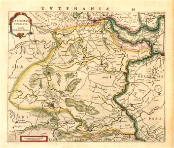
old maps of gelderland
old maps of zutphen
perris maps of manhattan published 1852–1853
centre market place (manhattan)
a voyage to abyssinia, and travels into the interior of that country, executed under the orders of the british government in the years 1809 & 1810
john outhett
hôtel du petit-bourbon
old submaps of paris
glaciers and glaciation (1910)
maps of muir glacier
eran laor cartographic collection
romanticism
eran laor cartographic collection
johann ulrich krauß
eran laor cartographic collection
joan blaeu
eran laor cartographic collection
german renaissance,humanism
eran laor cartographic collection
cornelis de bruyn
eran laor cartographic collection
william hole (engraver)
eran laor cartographic collection
edward weller
eran laor cartographic collection
william hughes (geographer)
eran laor cartographic collection
cornelis de bruyn
eran laor cartographic collection
cornelis de bruyn
eran laor cartographic collection
alain manesson-mallet
eran laor cartographic collection
edward weller
eran laor cartographic collection
german renaissance,humanism
eran laor cartographic collection
german renaissance,humanism
paintings by charles c. wood taylor
1830s history paintings
maps in the library of congress
1755 maps of north america
topographia franconiae (merian)
baroque
maps of luzy (nièvre)
amédée jullien
maps made in the 15th century
old maps of france
maps by willem and johannes blaeu
old maps of bergen op zoom
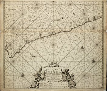
old maps of the dutch gold coast
engravings by jan luyken
1651 maps of baden-württemberg
house of helfenstein
old maps of georgia (u.s. state)
maps in the library of congress
old maps of westphalia
sharp s
maps of the byzantine levant
1650s maps showing history
guillaume-nicolas delahaye
jacques martin
maps of bergen (norway) by braun & hogenberg
hieronymus scholeus
renaissance
appalachia
beschreibung der städt der welt - braun & hogenberg - btv1b52512111k
dresden in the 1580s
description de l'universe
1680s maps of germany
17th-century maps of the isle of wight
description de l'universe
maps by jakob van der schley
old maps of southeast asia
with the armies of the balkans and at gallipoli (1880)
maps of the military history of bulgaria
international astronomical union
map workshop
19th-century portrait paintings in the hermitage
portraits by franz krüger (russia)
topographischer atlas der schweiz
maps of the canton of valais
maps of mysore
edward weller
maps of islands of sweden
björkö
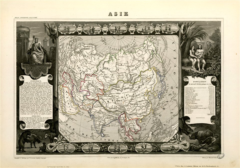
victor levasseur - maps of the world
old maps of asia
maps from university of amsterdam special collections
atlas der neederlanden
maps from university of amsterdam special collections
atlas der neederlanden
maps from university of amsterdam special collections
atlas der neederlanden
maps from university of amsterdam special collections
atlas der neederlanden
maps from university of amsterdam special collections
atlas der neederlanden
maps from university of amsterdam special collections
atlas der neederlanden
maps from university of amsterdam special collections
atlas der neederlanden
maps from university of amsterdam special collections
atlas der neederlanden
maps from university of amsterdam special collections
atlas der neederlanden
maps from university of amsterdam special collections
atlas der neederlanden
russian empire in thomas kitchen's general atlas (1773)
general atlas (1773)
maps by pieter mortier
terra d'otranto
1890s maps of the caribbean
brethren of the coast
maps in the biblioteca nacional do brasil
1587 maps
eran laor cartographic collection
guillaume sanson
eran laor cartographic collection
carolus allard
new bern, north carolina
solon m. allis
maps of paris in the 1730s
plan de turgot
maps of cologne by braun & hogenberg
maps by petrus schenk
oberbrambach
considérations géographiques et physiques sur les nouvelles découvertes au nord de la grande mer
isla de los estados
considérations géographiques et physiques sur les nouvelles découvertes au nord de la grande mer
eso island
considérations géographiques et physiques sur les nouvelles découvertes au nord de la grande mer
eso island
15th-century maps of istanbul
romanticism
european art in the art institute of chicago
maps of south america by mercator-hondius
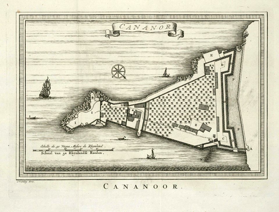
maps of the dutch east india company - india
historical images of st. angelo fort
a map of the valdichiana (rcin 912278)
high renaissance,renaissance
maps from the earth and its inhabitants, vol. xii
africa in the 1890s
maps of frankfurt (main) by braun & hogenberg
eran laor cartographic collection
curt teich postcard archives
postcard collecting
maps from the earth and its inhabitants, vol. xii
africa in the 1890s
gemeente atlas van nederland - gelderland
varsseveld
maps of schwäbisch hall by braun & hogenberg
eran laor cartographic collection
plan de roussel - derivative files
proletarian literature
maps from the earth and its inhabitants, vol. xii
africa in the 1890s
maps from the earth and its inhabitants, vol. xii
africa in the 1890s
maps from the earth and its inhabitants, vol. xii
africa in the 1890s
africa and its inhabitants, vol. ii
charles eugène perron
maps from the earth and its inhabitants, vol. xiii
africa in the 1890s
diagrams of krkonoše mute signs
němé značky krkonoš
maps from the earth and its inhabitants, vol. xiii
africa in the 1890s
maps from the earth and its inhabitants, vol. xiii
africa in the 1890s
maps of arras by braun & hogenberg
maps of arras city walls
john rocque's 1746 map of london
marlborough house, london
maps of franeker by braun & hogenberg
maps by jacob van deventer
maps of bourgogne (duchy) by gerardus mercator
1630s maps of france
maps of milan by braun & hogenberg
baroque
atlas vingboons
1665
7701 - 7800 of 27,441
Next page
/ 275