Log in
All resources
Create a design
27,441 Free Images of Maps
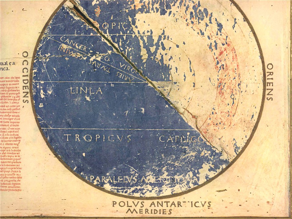
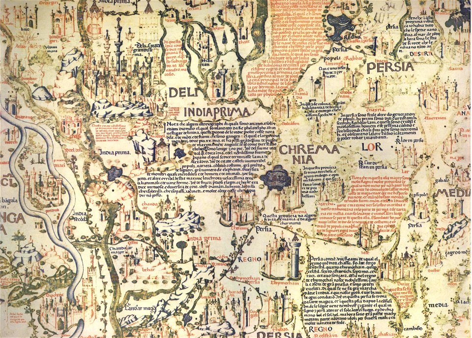
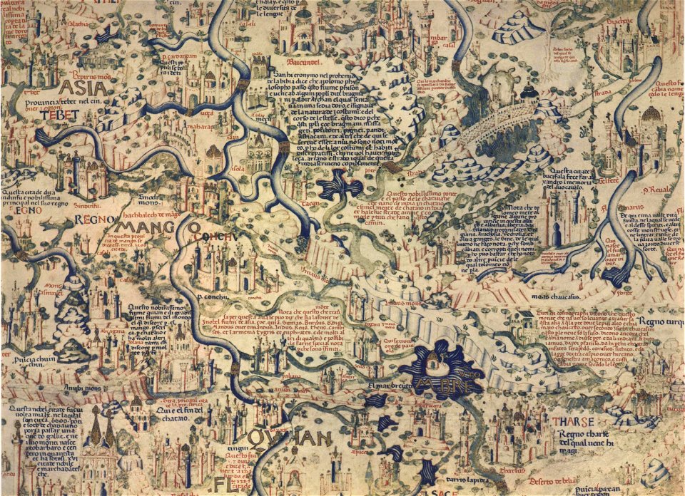
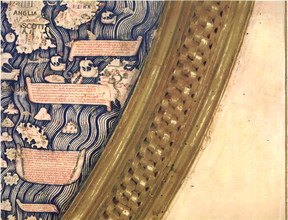
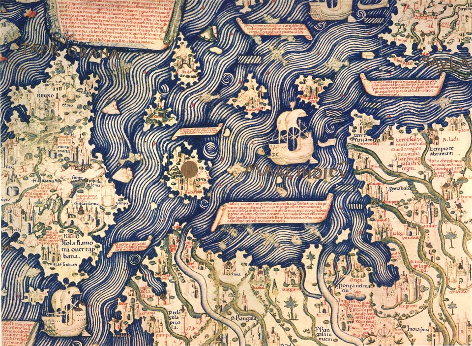
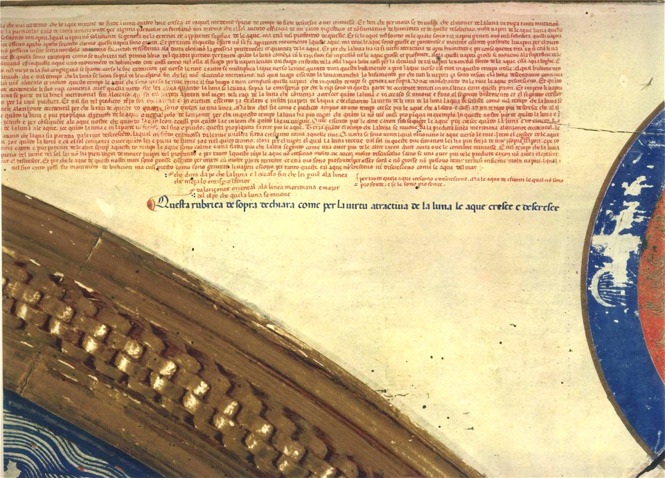
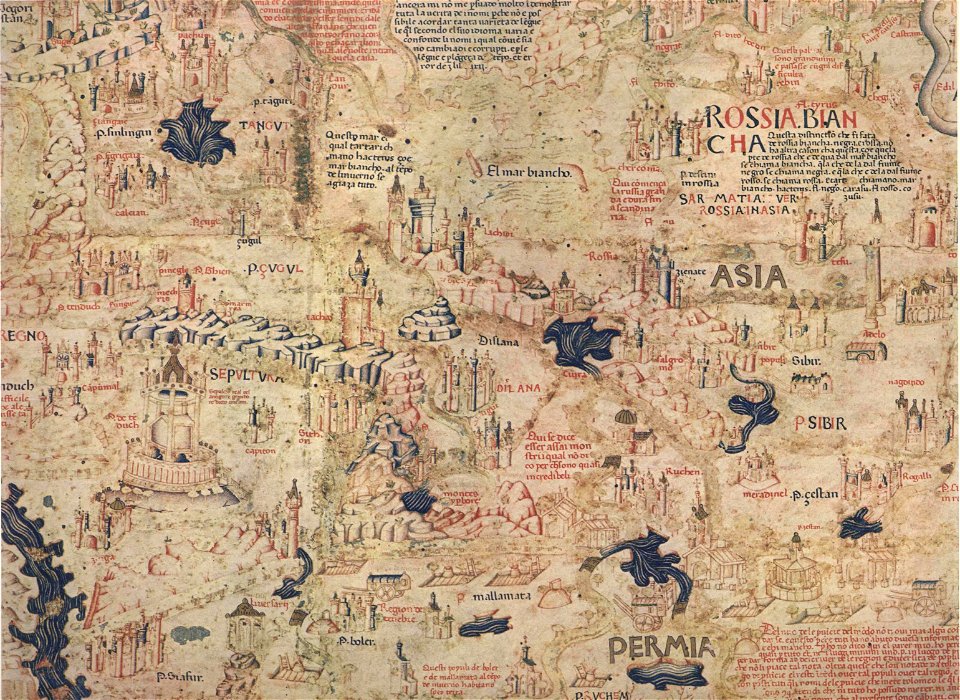
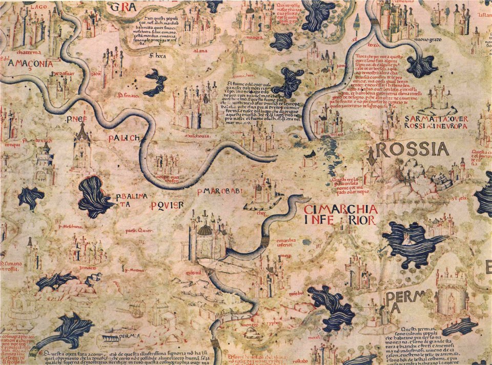
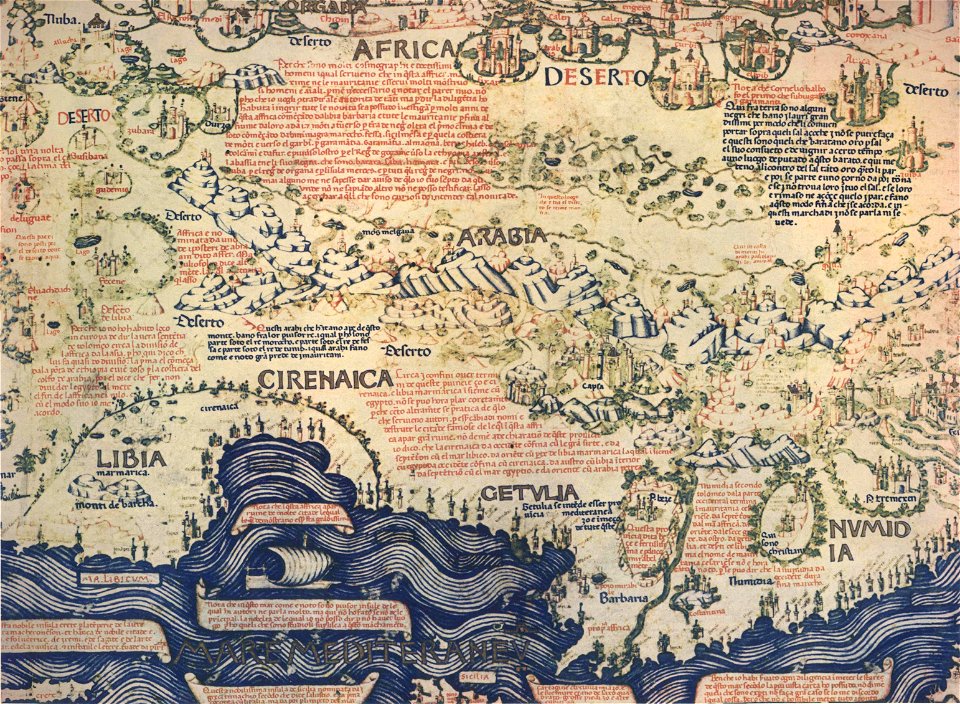
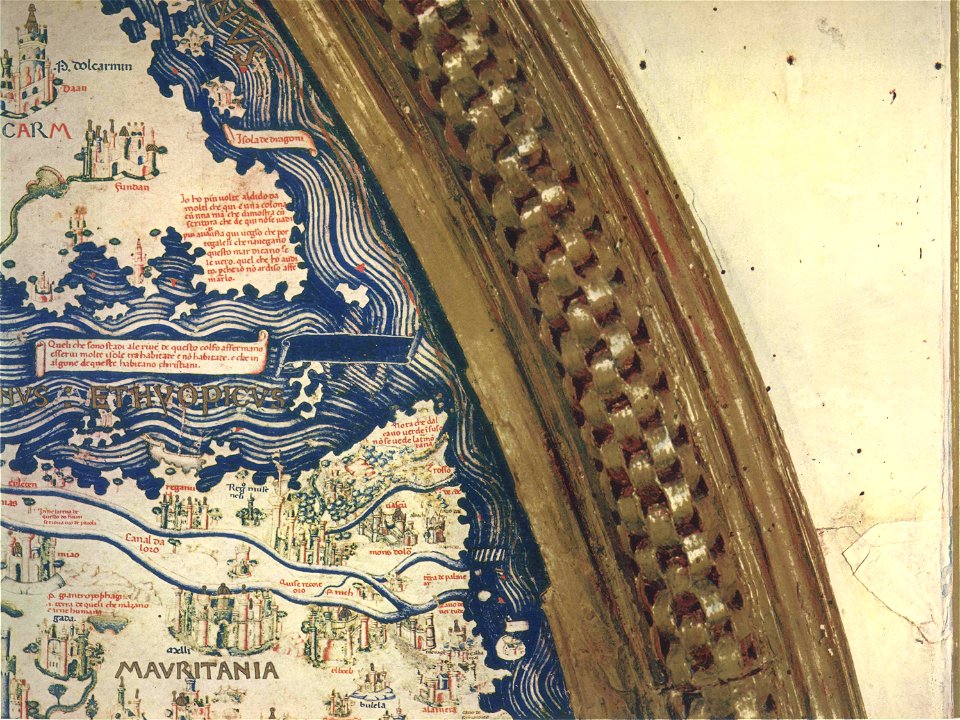
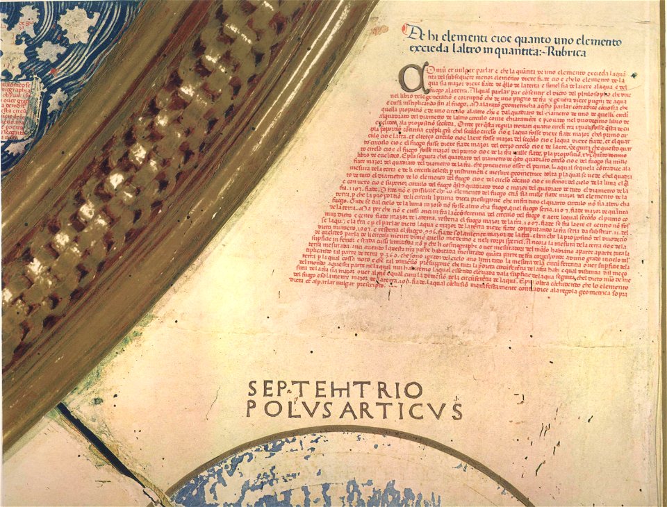
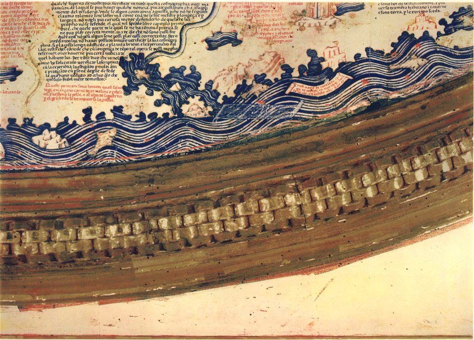
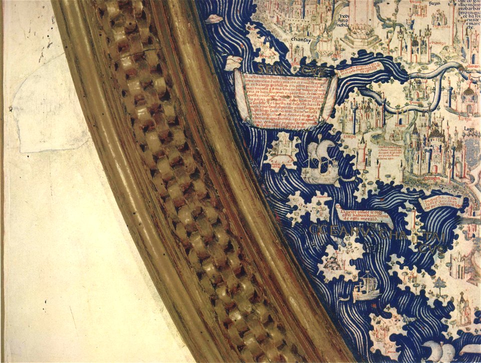
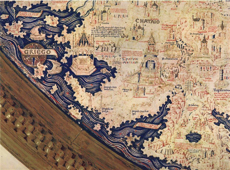
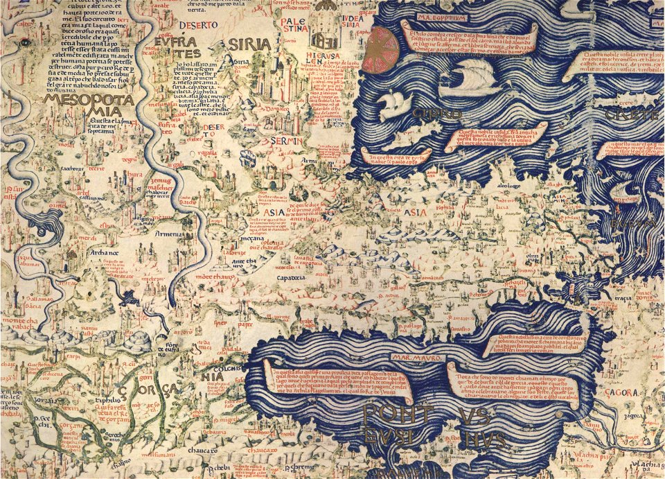
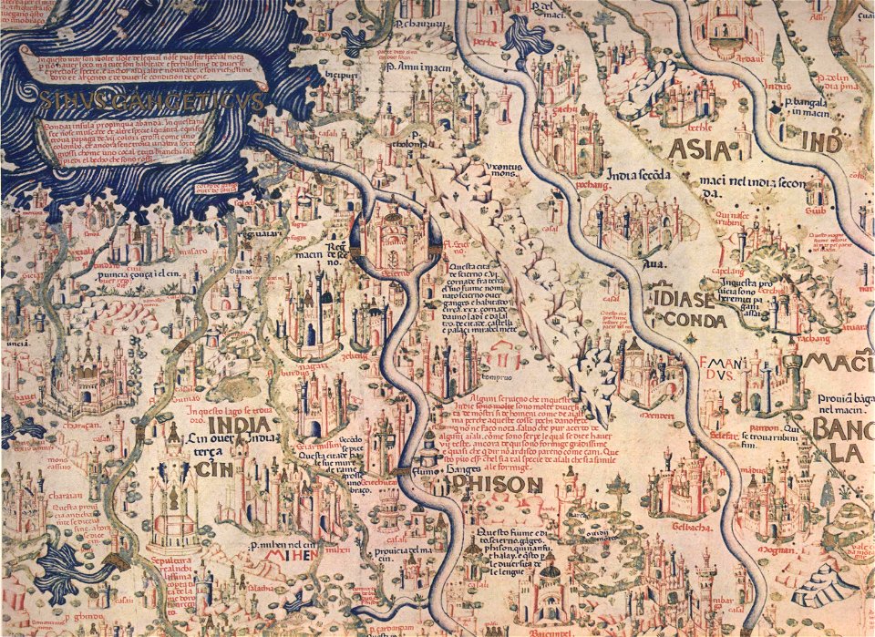
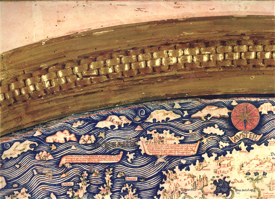
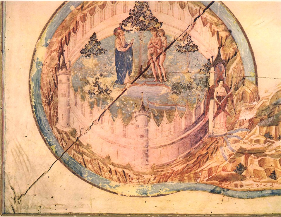
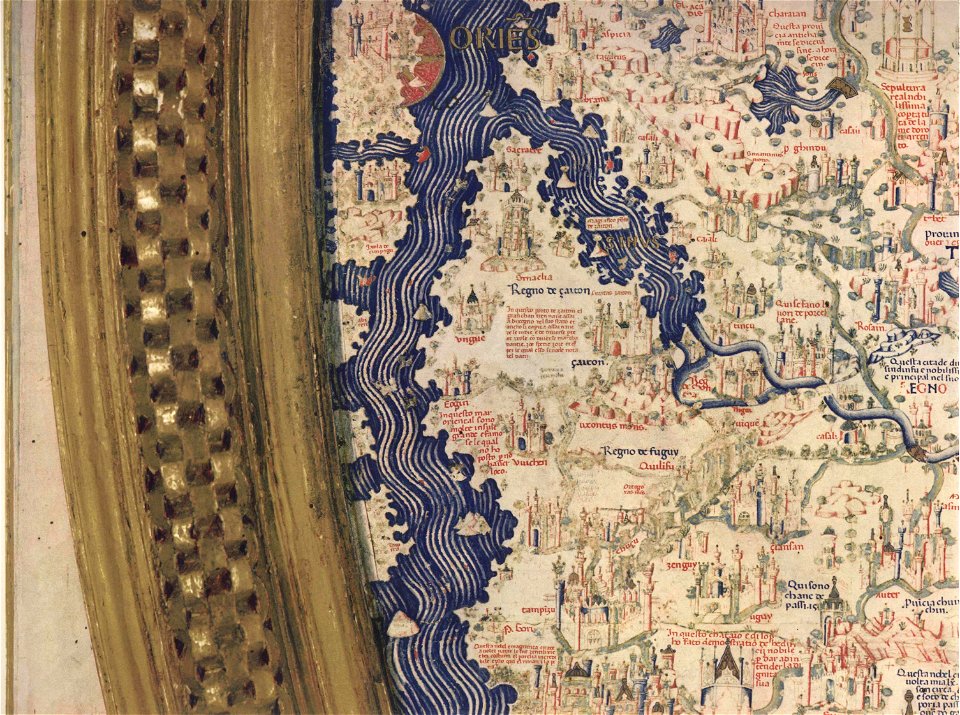
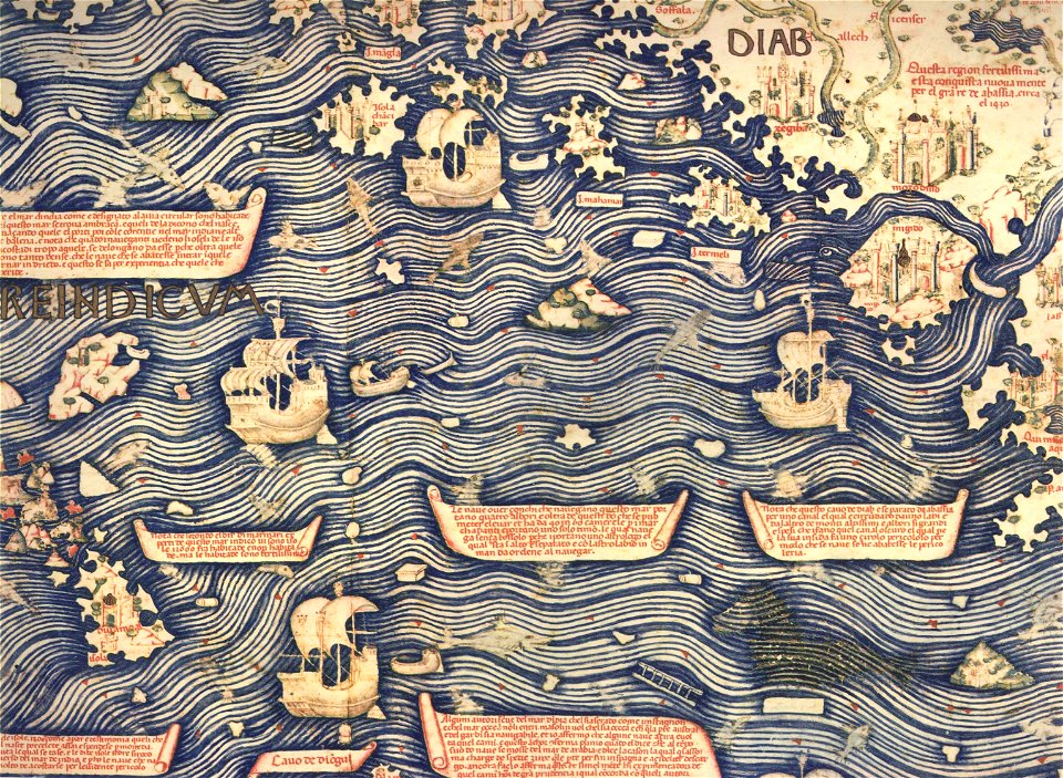
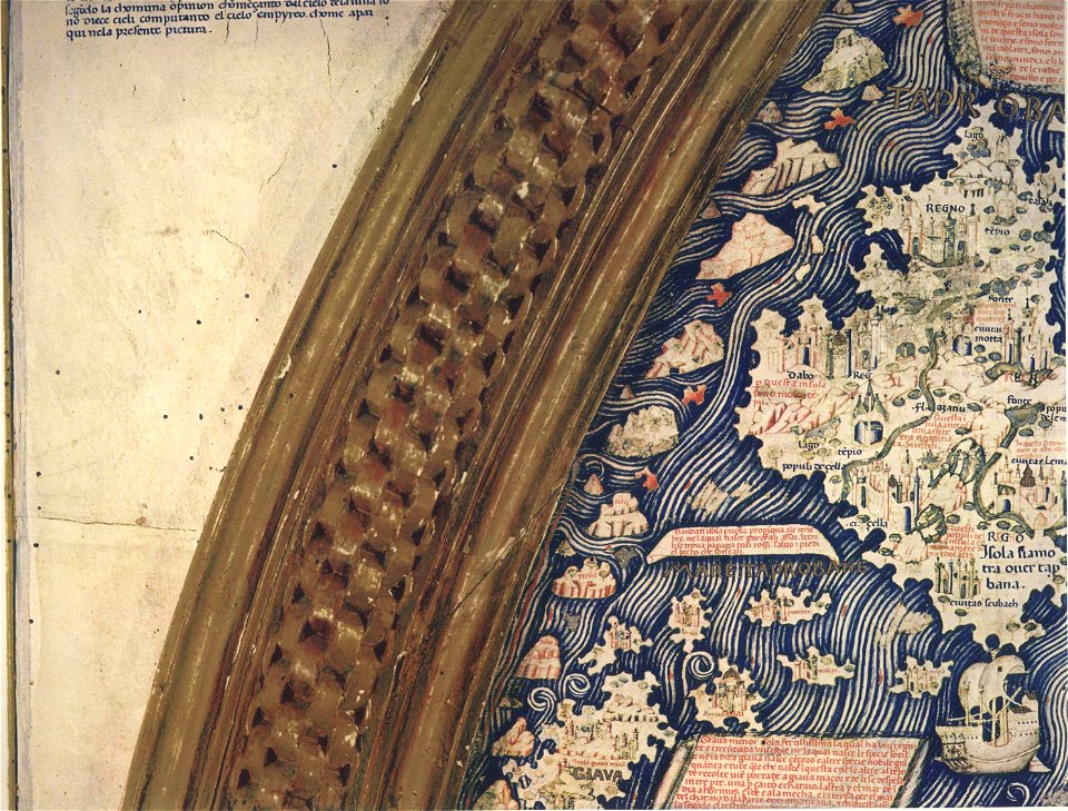
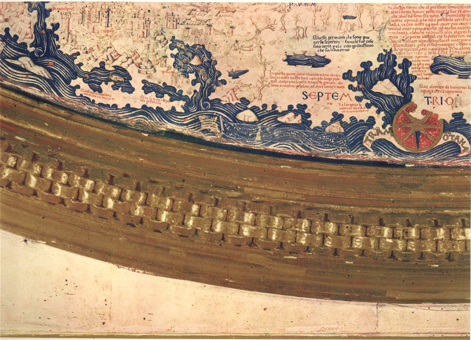
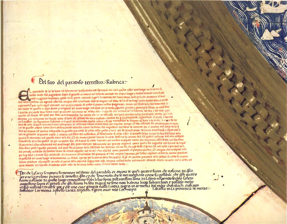
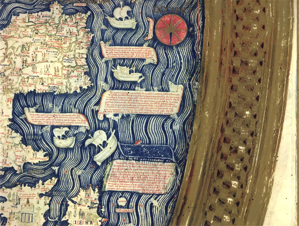
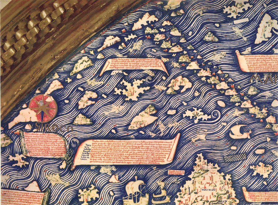
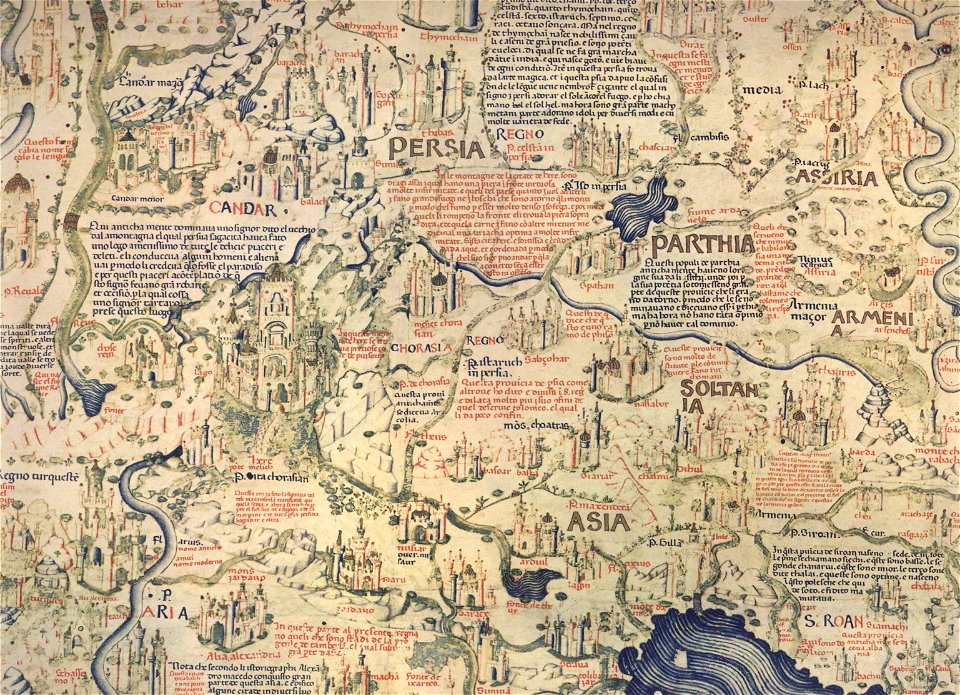
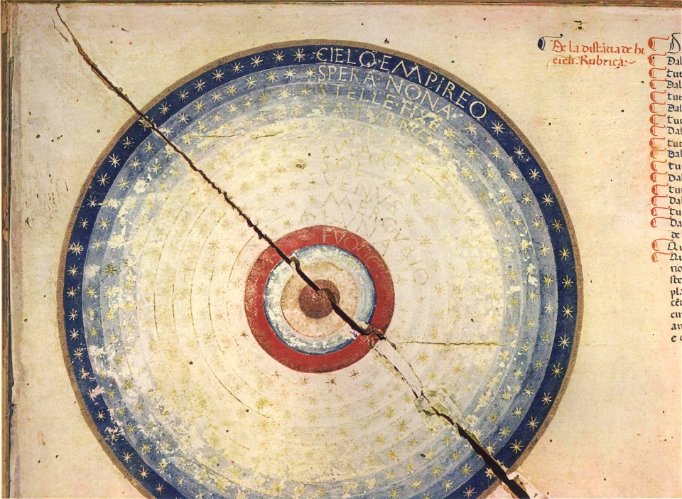
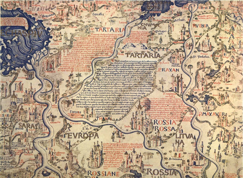
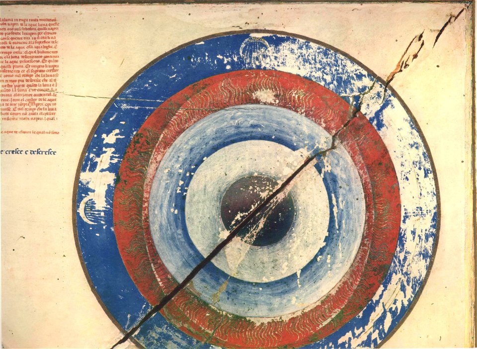
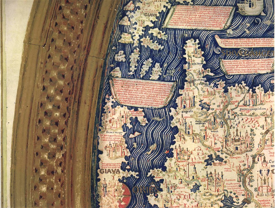
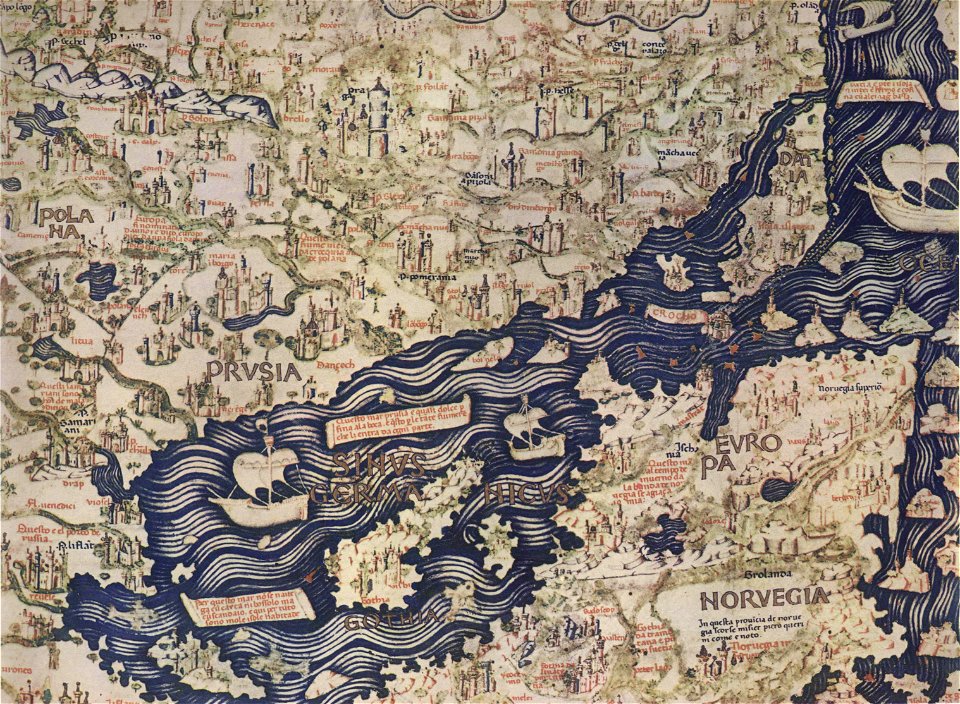
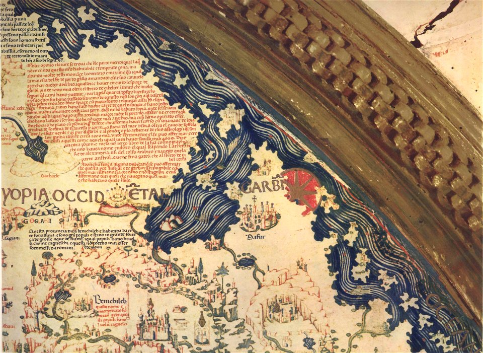
fra mauro map by sector
bibliothèque nationale de france
copper engraving print
joan blaeu
beschreibung der städt der welt - braun & hogenberg - btv1b52512111k
gemeente atlas van nederland - south holland
maps by willem and johannes blaeu
1860s maps of south holland
british library
koninklijke bibliotheek
atlas maior, vol 12 (america) - joan blaeu, 1667 - bl 114.h(star).12
1667 maps
atlas maior, vol 9 (italy) - joan blaeu, 1667 - bl 114.h(star).9
1667 maps of italy
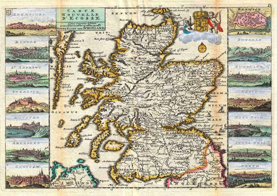
atlas maior, vol 6 (scotland and ireland) - joan blaeu, 1667 - bl 114.h(star).6
1667 maps
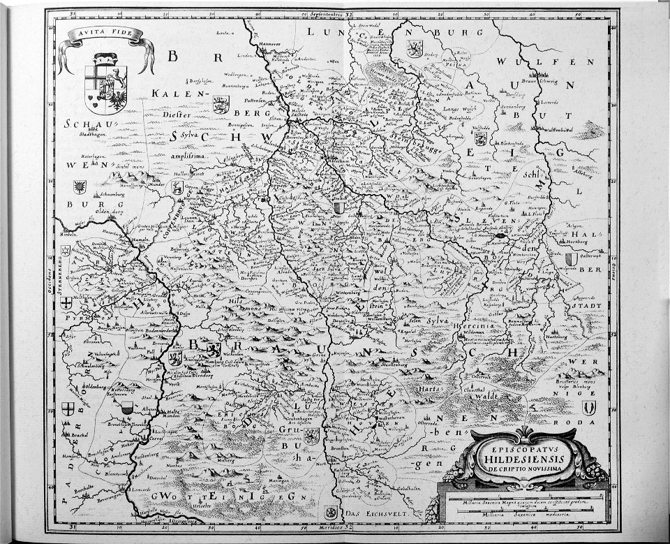
17th-century maps of saxony
1690s maps of saxony
1677 maps of asia
georg widmann
maps of paris from the david rumsey historical map collection
plan de roussel
old maps of scotland
1747 maps
beschreibung der städt der welt - braun & hogenberg - btv1b52512111k
maps of groningen by braun & hogenberg
beschreibung der städt der welt - braun & hogenberg - btv1b52512111k
maps of mainz by braun & hogenberg
beschreibung der städt der welt - braun & hogenberg - btv1b52512111k
maps of heidelberg by braun & hogenberg
beschreibung der städt der welt - braun & hogenberg - btv1b52512111k
maps of dunkerque by braun & hogenberg
beschreibung der städt der welt - braun & hogenberg - btv1b52512111k
maps of nîmes by braun & hogenberg
atlas van der hagen (volume 4)
atlas van der hagen
maps from university of amsterdam special collections
caartboeck van voorne, 1701
maps in the library of congress
1889 maps of new york (state)
maps of les baux-de-provence
louis boudan
maps made in the 17th century
old maps of drenthe
maps indicating exploration
1885 maps
1780s maps of the caribbean
maps by tomas lopez
1780s maps of the caribbean
maps by tomas lopez
maps by isaak tirion
1750 maps of africa
1780s maps of the caribbean
maps by juan lopez
maps by tomas lopez
1785 maps
turgot map of paris – derivative files
old maps of île saint-louis
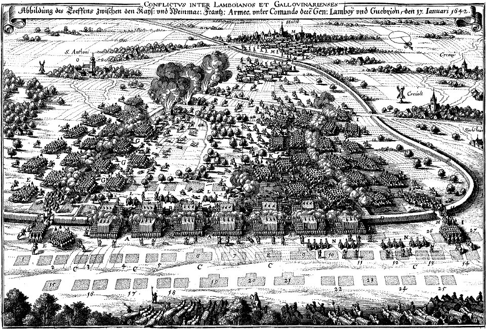
engravings of theatrum europaeum
baroque
fra mauro map by sector
fra mauro map by sector
fra mauro map by sector
fra mauro map by sector
fra mauro map by sector
fra mauro map by sector
fra mauro map by sector
fra mauro map by sector
fra mauro map by sector
fra mauro map by sector
fra mauro map by sector
fra mauro map by sector
fra mauro map by sector
fra mauro map by sector
fra mauro map by sector
fra mauro map by sector
fra mauro map by sector
fra mauro map by sector
fra mauro map by sector
fra mauro map by sector
fra mauro map by sector
fra mauro map by sector
fra mauro map by sector
fra mauro map by sector
fra mauro map by sector
fra mauro map by sector
fra mauro map by sector
fra mauro map by sector
fra mauro map by sector
fra mauro map by sector
fra mauro map by sector
fra mauro map by sector
fra mauro map by sector
fra mauro map by sector
fra mauro map by sector
fra mauro map by sector
fra mauro map by sector
fra mauro map by sector
fra mauro map by sector
maps by willem and johannes blaeu
old maps of gironde
fra mauro map by sector
fra mauro map by sector
fra mauro map by sector
fra mauro map by sector
fra mauro map by sector
fra mauro map by sector
fra mauro map by sector
1700s maps of the tsardom of russia
1700s maps of eastern europe
maps of ancient israel by philippe de la rué
old maps of ancient israel
maps of the waterloo campaign
emery walker
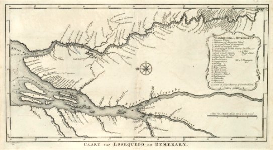
maps of the west-indische compagnie
1770 maps
maps of the west-indische compagnie
1747 maps
18th-century maps of morocco
1700s maps of algeria
maps by willem and johannes blaeu
1648 maps of africa
avenionensis ditio et venaisinus comitatus (galleria delle carte geografiche)
brazilian paintings in the museu antônio parreiras
pedro ii of brazil and empress teresa cristina
maps from the earth and its inhabitants, vol. x
zagazig
engravings of topographia saxoniae inferioris
baroque
gemeente atlas van nederland - south holland
maps of alblasserdam
siege of lingen 1597
maps of lingen (ems)
maps of paris from the stanford libraries
1650s maps of paris
maps by willem and johannes blaeu
maps made in the 17th century
maps by willem and johannes blaeu
maps made in the 17th century
gemeente atlas van nederland - south holland
maps of zoetermeer
itinerario (jan huygen van linschoten)
16th-century maps of java
gemeente atlas van nederland - south holland
1860s maps of south holland
gemeente atlas van nederland - south holland
maps of piershil
curt teich postcard archives
map postcards
maps from the earth and its inhabitants, vol. x
maps with nicolosi globular projection
1572 in london
1572 maps
maps from the earth and its inhabitants, vol. xiii
africa in the 1890s
1895 maps of new york (state)
old maps of albany, new york
gemeente atlas van nederland - south holland
maps of goudswaard
curt teich postcard archives
maps of arizona in art
a map of the provinces of new york and new jersey, with a part of pennsylvania and the province of quebec
lawrence h. slaughter collection of english maps, charts, globes, books and atlases
4801 - 4900 of 27,441
Next page
/ 275