Log in
All resources
Create a design
67 Free Images of Maps Of The Great Lakes
cc-zero
pages with maps
old maps of the great lakes
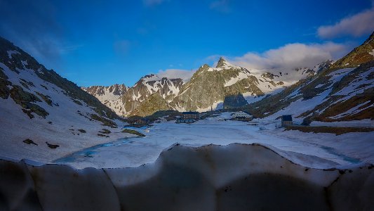
landscape
latin-language maps
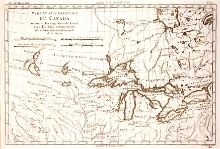
french-language maps of north america
old maps of new france
maps by john cary
john cary
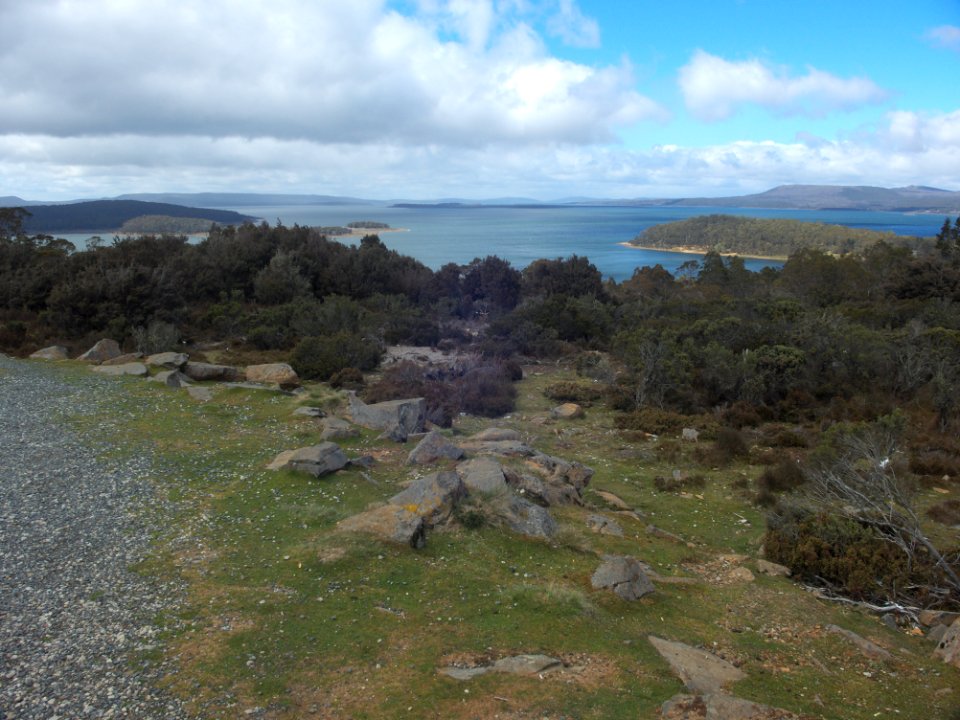
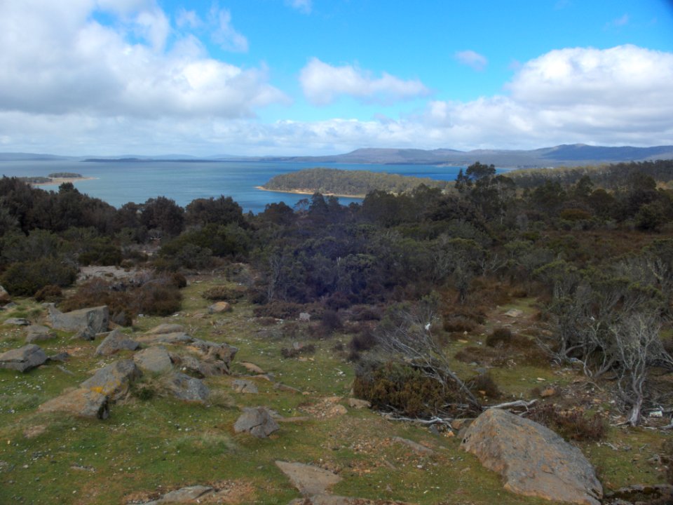
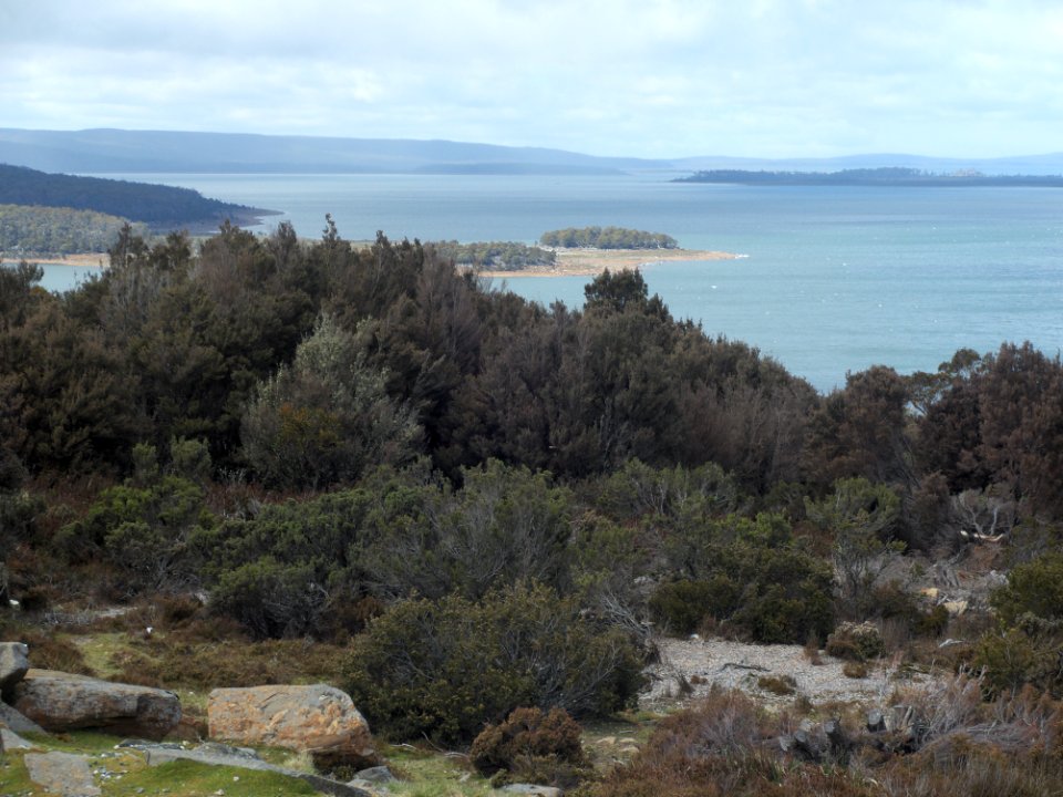
great lake, tasmania
through the dark continent
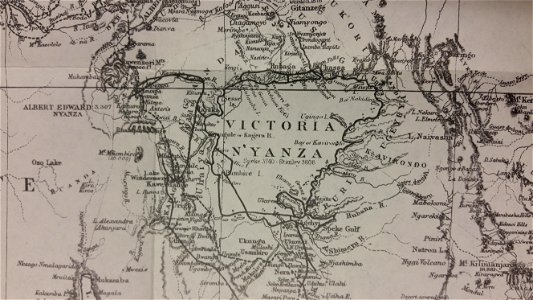
lake victoria
old maps of the democratic republic of the congo
lake tanganyika
iroquois
ontario
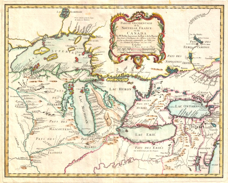
old maps of new france
maps by coronelli
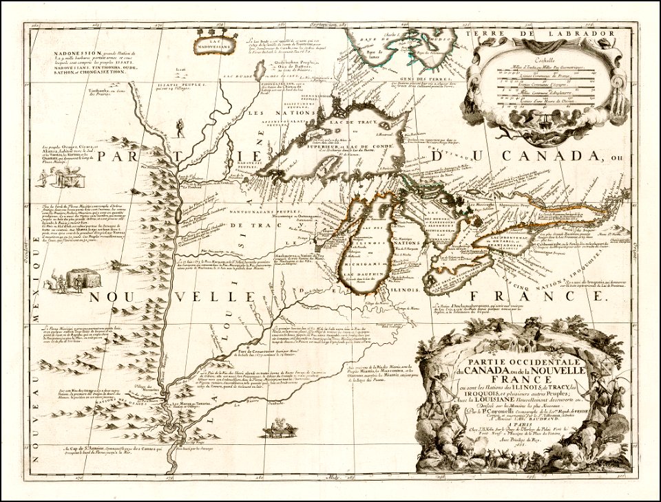
old maps of new france
maps by coronelli
self-published work
landscape
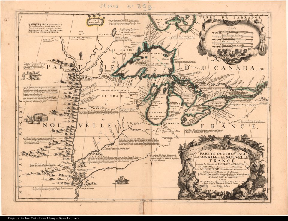
old maps of new france
maps by coronelli
landscape
blue
popular science monthly illustrations/volume 13
drainage basin maps of north america
landscape
shore
1780 maps of wisconsin
1780 maps of montana
old maps of the democratic republic of the congo
through the dark continent
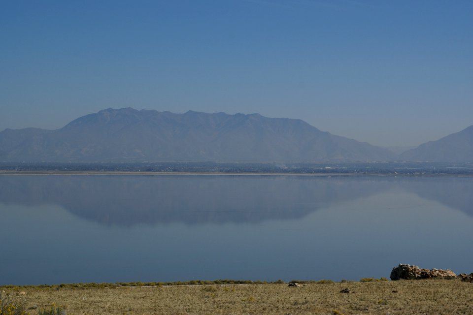
great salt lake
landscape
water
shore
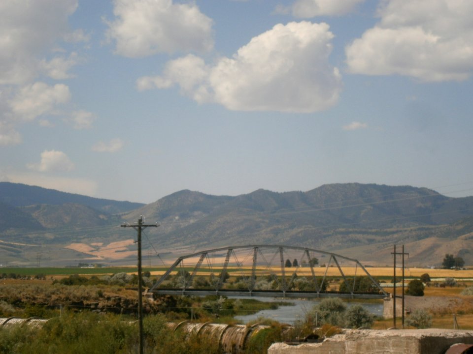
landscape
travel
self-published work
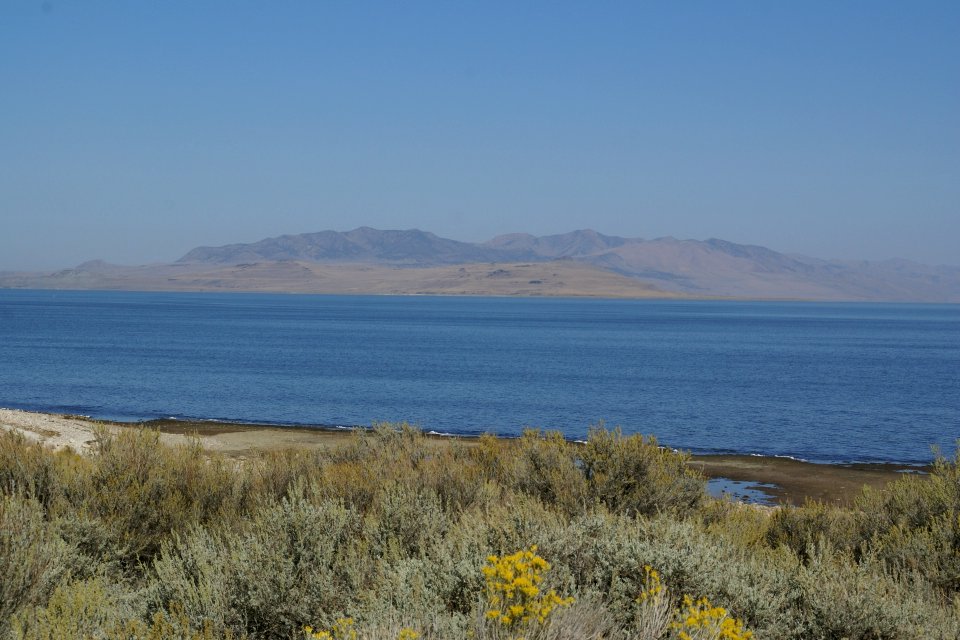
antelope island
antelope island
coastline
landscape
water
landscape
nature
landscape
winter
landscape
nature
animals
mammals
robert wallis (engraver)
henry warren
self-published work
pages with maps
robert wallis (engraver)
henry warren
1850s maps of ontario
maps by john tallis
geography
maps
1890s maps of the united states
maps of the thousand islands
old maps of french guiana
1630s maps of brazil
18th-century maps of china
18th-century maps of asia
maps by joachim bormeester
1680s maps of the world
1810 maps of north america
1810 maps of mexico
english-language maps
1747 maps of asia
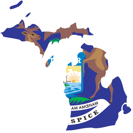
state flag
mi
1805 maps of the united states
maps by john cary
state flag
mn
maps indicating exploration
royal geographical society
18th-century maps of north america
1708 maps of north america
historical map collection
maps by john cary
maps by joachim bormeester
1685 maps
maps by john cary
1806 maps of asia
1760s maps of the americas
jean janvier
18th-century double hemisphere world maps
1730s maps of the world
18th-century double hemisphere world maps
1730s maps of the world
1650s maps of the americas
1658 maps
1760s maps of the americas
1760 maps
1740s maps of the americas
1747 maps of north america
arnold's geographical handbook (1899)
1899 maps of the united states
geocentric model
1730 maps
1876 maps of the united states
old maps of new england
1821 maps of the united states
maps by john cary
1696 maps of the caribbean
1690s maps of mexico
old maps of the western hemisphere
jacob van meurs
lawrence h. slaughter collection of english maps, charts, globes, books and atlases
covens en mortier
maps by willem and johannes blaeu
1610s maps of the americas
a class-book of modern geography (1898)
old maps of the great lakes
1770s maps of alaska
robert de vaugondy
1779 maps of the united states
1770s maps of the caribbean
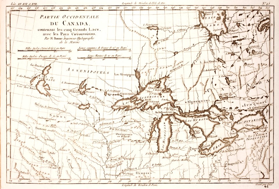
french-language maps of north america
1809 maps of north america
lawrence h. slaughter collection of english maps, charts, globes, books and atlases
covens en mortier
1806 maps of the united states
maps by john cary
maps by louis brion de la tour
1786 maps of north america
french-language maps
daniel de la feuille
mappe-monde geo-hydrographique (sanson and jaillot, 1674)
nicolas sanson. “mappe-monde, ou carte generale du monde.”
map of the bosphorus strait by guillaume sanson (1665)
nicolas sanson. “mappe-monde, ou carte generale du monde.”
1667 map of madagascar by guillaume sanson
historical
history
1 - 67 of 67
/ 1