Log in
All resources
Create a design
90 Free Images of French Language Maps Of North America
bibliothèque nationale de france
a map of the british empire in america with the french and spanish settlements adjacent thereto
sanson maps of north america
island of california
considérations géographiques et physiques sur les nouvelles découvertes au nord de la grande mer
maps by louis brion de la tour
louis brion de la tour
maps by nicolas sanson
1669 maps of north america
1730s maps of the caribbean
maps by samuel de champlain
old maps of new france
maps of the aleutian islands
1780 maps of north america
french-language maps
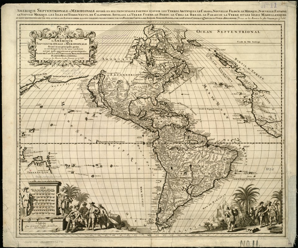
gerard valck
old constellation maps
maps by samuel dunn
18th-century maps of north america
1708 maps of north america
1747 maps of north carolina
maps by emanuel bowen
sanson maps of north america
maps by nicolas sanson
sanson maps of north america
maps by nicolas sanson
sanson maps of north america
maps by nicolas sanson
sanson maps of north america
maps by nicolas sanson
sanson maps of north america
maps by nicolas sanson
eran laor cartographic collection
thomas kitchin
maps of america by guillaume delisle (18th century)
1760s maps of the americas
sanson maps of north america
island of california
sanson maps of north america
island of california
sanson maps of north america
island of california
sanson maps of north america
1690s maps of north america
sanson maps of north america
island of california
sanson maps of north america
island of california
sanson maps of north america
island of california
sanson maps of north america
island of california
sanson maps of north america
island of california
sanson maps of north america
1674 maps of north america
william henry toms
henry popple
sanson maps of north america
1719 maps of north america
sanson maps of north america
maps by nicolas sanson
bibliothèque nationale de france
sanson maps of north america
sanson maps of north america
island of california
french-language maps
1742 maps
a map of the british empire in america with the french and spanish settlements adjacent thereto
1730s maps of the caribbean
1760s maps of the americas
1760 maps
a map of the british empire in america with the french and spanish settlements adjacent thereto
1730s maps of the caribbean
1760s maps of the americas
1764 maps
a map of the british empire in america with the french and spanish settlements adjacent thereto
1730s maps of central america
1690s maps of the caribbean
1690s maps of the americas
a map of the british empire in america with the french and spanish settlements adjacent thereto
1730s maps of the caribbean
a map of the british empire in america with the french and spanish settlements adjacent thereto
1730s maps of the caribbean
a map of the british empire in america with the french and spanish settlements adjacent thereto
1730s maps of the caribbean
considérations géographiques et physiques sur les nouvelles découvertes au nord de la grande mer
1755 maps of north america
1750s maps of north america
solomon bolton
a map of the british empire in america with the french and spanish settlements adjacent thereto
bibliothèque nationale de france
a map of the british empire in america with the french and spanish settlements adjacent thereto
bibliothèque nationale de france
a map of the british empire in america with the french and spanish settlements adjacent thereto
bibliothèque nationale de france
a map of the british empire in america with the french and spanish settlements adjacent thereto
bibliothèque nationale de france
a map of the british empire in america with the french and spanish settlements adjacent thereto
bibliothèque nationale de france
a map of the british empire in america with the french and spanish settlements adjacent thereto
bibliothèque nationale de france
a map of the british empire in america with the french and spanish settlements adjacent thereto
bibliothèque nationale de france
a map of the british empire in america with the french and spanish settlements adjacent thereto
bibliothèque nationale de france
a map of the british empire in america with the french and spanish settlements adjacent thereto
bibliothèque nationale de france
a map of the british empire in america with the french and spanish settlements adjacent thereto
bibliothèque nationale de france
a map of the british empire in america with the french and spanish settlements adjacent thereto
bibliothèque nationale de france
a map of the british empire in america with the french and spanish settlements adjacent thereto
bibliothèque nationale de france
a map of the british empire in america with the french and spanish settlements adjacent thereto
bibliothèque nationale de france
a map of the british empire in america with the french and spanish settlements adjacent thereto
bibliothèque nationale de france
a map of the british empire in america with the french and spanish settlements adjacent thereto
bibliothèque nationale de france
a map of the british empire in america with the french and spanish settlements adjacent thereto
bibliothèque nationale de france
1780s maps of the americas
1786 maps
a map of the british empire in america with the french and spanish settlements adjacent thereto
bibliothèque nationale de france
a map of the british empire in america with the french and spanish settlements adjacent thereto
bibliothèque nationale de france
1842 maps of north america
ambroise tardieu
1810 maps of north america
1810 maps of mexico
old maps of french guiana
1630s maps of brazil
1760s maps of the americas
jean janvier
considérations géographiques et physiques sur les nouvelles découvertes au nord de la grande mer
1750s maps of the russian empire
maps by louis brion de la tour
1786 maps of north america
bibliothèque nationale de france
maps by thomas kitchin
considérations géographiques et physiques sur les nouvelles découvertes au nord de la grande mer
hokkaido in art
maps by willem and johannes blaeu
1610s maps of the americas
maps by louis brion de la tour
1782 maps of the caribbean
considérations géographiques et physiques sur les nouvelles découvertes au nord de la grande mer
isla de los estados
maps by pieter mortier
maps from gallica
considérations géographiques et physiques sur les nouvelles découvertes au nord de la grande mer
old maps of the yellow sea
considérations géographiques et physiques sur les nouvelles découvertes au nord de la grande mer
eso island
considérations géographiques et physiques sur les nouvelles découvertes au nord de la grande mer
isla de los estados
considérations géographiques et physiques sur les nouvelles découvertes au nord de la grande mer
eso island
1750s maps of california
philippe buache
french-language maps of north america
1809 maps of north america
maps by jean-baptiste bourguignon d'anville
1750s maps of the caribbean
maps by pieter mortier
maps from gallica
a map of the british empire in america with the french and spanish settlements adjacent thereto
bibliothèque nationale de france
a map of the british empire in america with the french and spanish settlements adjacent thereto
bibliothèque nationale de france
a map of the british empire in america with the french and spanish settlements adjacent thereto
bibliothèque nationale de france
a map of the british empire in america with the french and spanish settlements adjacent thereto
bibliothèque nationale de france
a map of the british empire in america with the french and spanish settlements adjacent thereto
bibliothèque nationale de france
1740s maps of the americas
1747 maps of north america
1779 maps of the united states
1770s maps of the caribbean
historical
history
a map of the british empire in america with the french and spanish settlements adjacent thereto
bibliothèque nationale de france
carte de l'amérique septentrionale by guillaume delisle (1700)
1700 maps of north america
carte du mexique et de la floride by guillaume delisle (1703)
bibliothèque nationale de france
1 - 90 of 90
/ 1