Log in
All resources
Create a design
17 Free Artworks of 1890s Maps Of The United States
a flying trip to the tropics
drawings of scissors
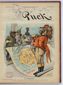
1898 covers of puck magazine
louis dalrymple's puck covers
1890s political cartoons of the united states
caricatures about china
historic racist caricatures
personifications of the united kingdom
personifications of france
personifications of germany
1892 in the united states
laredo, texas
1898 covers of puck magazine
drawings of scissors
1898 covers of puck magazine
drawings of scissors
1890s maps of the united states
maps of the thousand islands
chicago and the midwest, newberry library
maps by rand mcnally
chicago and the midwest, newberry library
maps by rand mcnally
maps from the earth and its inhabitants, vol. xii
africa in the 1890s
a flying trip to the tropics
1895 maps of south america
everett d. graff collection of western americana
maps of the indian territory
a flying trip to the tropics
old maps of curaçao
scientific journals of the united states, 1902
old maps of lorain county, ohio
the soldier in our civil war - western theater
bird's eye view maps of tennessee
a flying trip to the tropics
old maps of curaçao
maps of essex county, ontario
point pelee national park
a flying trip to the tropics
1895 maps of south america
the soldier in our civil war - a pictorial history of the conflict (1893)
1860s maps of the united states
frémont and '49 - the story of a remarkable career and its relation to the exploration and development of our western territory, especially of california (1914)
maps of the history of the united states
1 - 17 of 17
/ 1