Log in
All resources
Create a design
89 Free Images of Compass Roses On Maps
navigation
direction
north
south
geography
nautical
cartography
east
travel
arrow
geography
maps
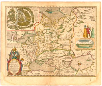
itinerario (jan huygen van linschoten)
latin-language maps
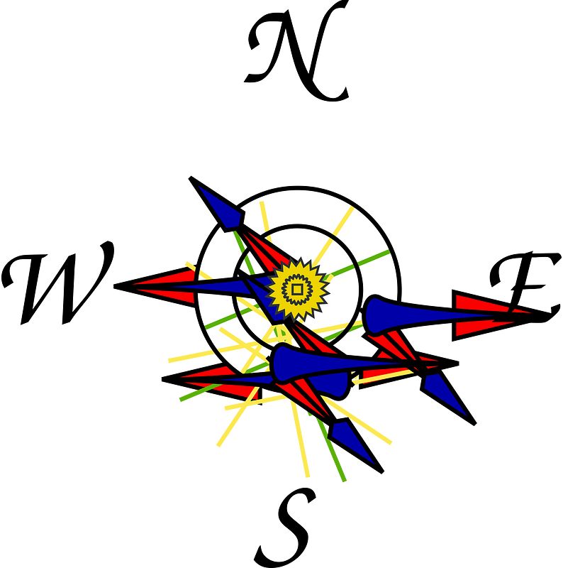
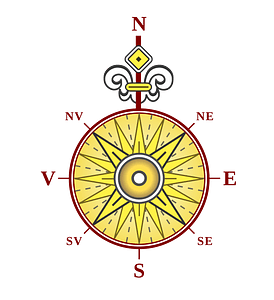
compass rose
circle
self-published work
circle
old maps of spitsbergen
old maps of the arctic
adventure
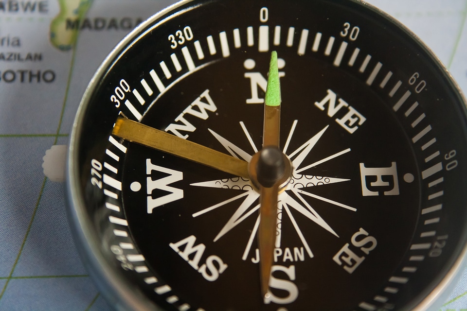
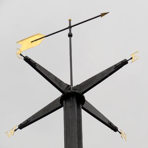
compass
pictorial maps
compass rose
compass roses on maps
almanacs of france
compass roses on maps
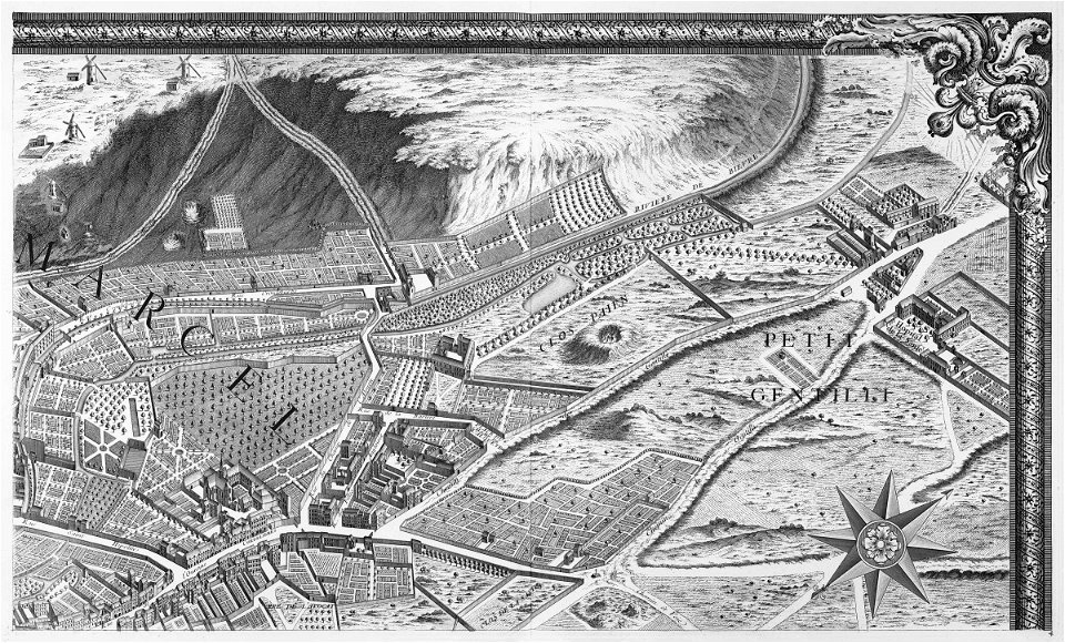
turgot map of paris
compass roses on maps
1547 maps of europe
17th-century maps of the mediterranean sea
coats of arms on maps
geography
maps
clothing of russia
ships on maps
travel
maps
compass
maps
islands
maps
travel
maps
travel
maps
symbol
maps
symbol
maps
symbol
maps
symbol
maps
travel
maps
symbol
maps
symbol
maps
symbol
maps
symbol
maps
geography
maps
symbol
maps
travel
maps
travel
maps
symbol
maps
itinerario (jan huygen van linschoten)
latin-language maps
red trousers
sidewalk
icons
symbol
compass roses on maps
compasses in spain
itinerario (jan huygen van linschoten)
latin-language maps
old maps of finnmark
old maps of troms
maps from gallica
propaganda map
maps of novaya zemlya
india orientalis
van langren map of southeast asia
1619 maps of asia
compass
maps
maps of kraków
planty
17th-century maps of the baltic sea
17th-century maps of scandinavia
😃 emoji
maps
😃 emoji
maps
maps of kraków
planty
compass
maps
16th-century maps of the adriatic sea
willem barentsz
maps of the united kingdom of the netherlands
françois bohn
turgot map of paris, kyoto university library
sheet 4 of the turgot map of paris
a map of the british empire in america with the french and spanish settlements adjacent thereto
compass roses on maps
compass
maps
compass
maps
vintage
compass
compass rose
maps
maps of the malay archipelago by mercator-hondius
symbol
maps
maps of novaya zemlya
1590s maps
18th-century maps of the mediterranean sea
1745 maps
maps in the british museum
maps by thomas kitchin
maps of the history of morocco
empire of morocco
paper
maps
johann friedrich walther
1738 in berlin-mitte
old maps of french guiana
1630s maps of brazil
old maps of southeast asia
maps by isaak tirion
18th-century maps of korea
nouvel atlas de la chine
parchment
paper
maps by jakob van der schley
old maps of southeast asia
cartography
maps
johann friedrich walther
1738 in berlin-mitte
maps of the malay archipelago by mercator-hondius
johann friedrich walther
1737 in berlin-mitte
charts and maps of the royal museums greenwich
1590 maps
nouvel atlas de la chine
claas condet
old maps of scotland from the norman b. leventhal map center
old maps of ireland from the norman b. leventhal map center
parchment
paper
maps made in the 18th century
johann david schleuen
18th-century maps of korea
nouvel atlas de la chine
18th-century maps of the iberian peninsula
maps in the rijksmuseum amsterdam
arrow
maps
arnold van langren map of east africa
1596 maps of africa
topography
symbol
cruise
arrow
plan de paris levé par les ordres du roy, 1900
proletarian literature
historical
history
augustus kollner
pictorial maps
prints in the royal collection of the united kingdom
thomas vivares
carte des côtes de malabar et de coromandel (1723)
philippe buache
1 - 89 of 89
/ 1