Log in
All resources
Create a design
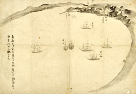
Japanese Manuscript map of the 'American Anchorage' in a bay on the Western side of Tokyo bay 20 miles from Yedo. Japan- February 12th-March 4th., 1854
Download
Edit image
Published by:
Creazilla
Author:
Unknown author
Source:
commons.wikimedia.org
Loading...
0 downloads
Print it
Copy image
Loading...
old maps of japan
perry expedition
1854 in japan
MORE LIKE THIS