Log in
All resources
Create a design
68 Free Artworks of Old Maps Of Wales
miniature speed atlas (1627) pieter van den keere
pieter van den keere
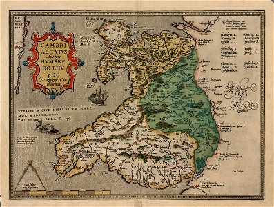
old maps of whole wales (alone)
the antiquities of england and wales (1773)
bibliothèque nationale de france
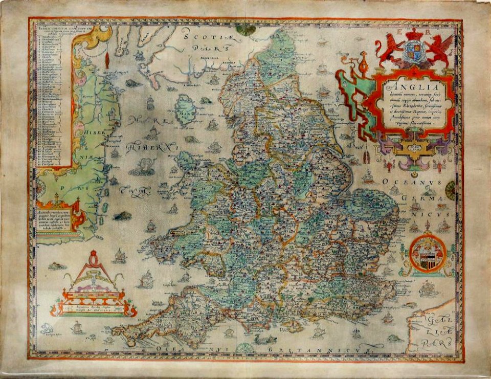
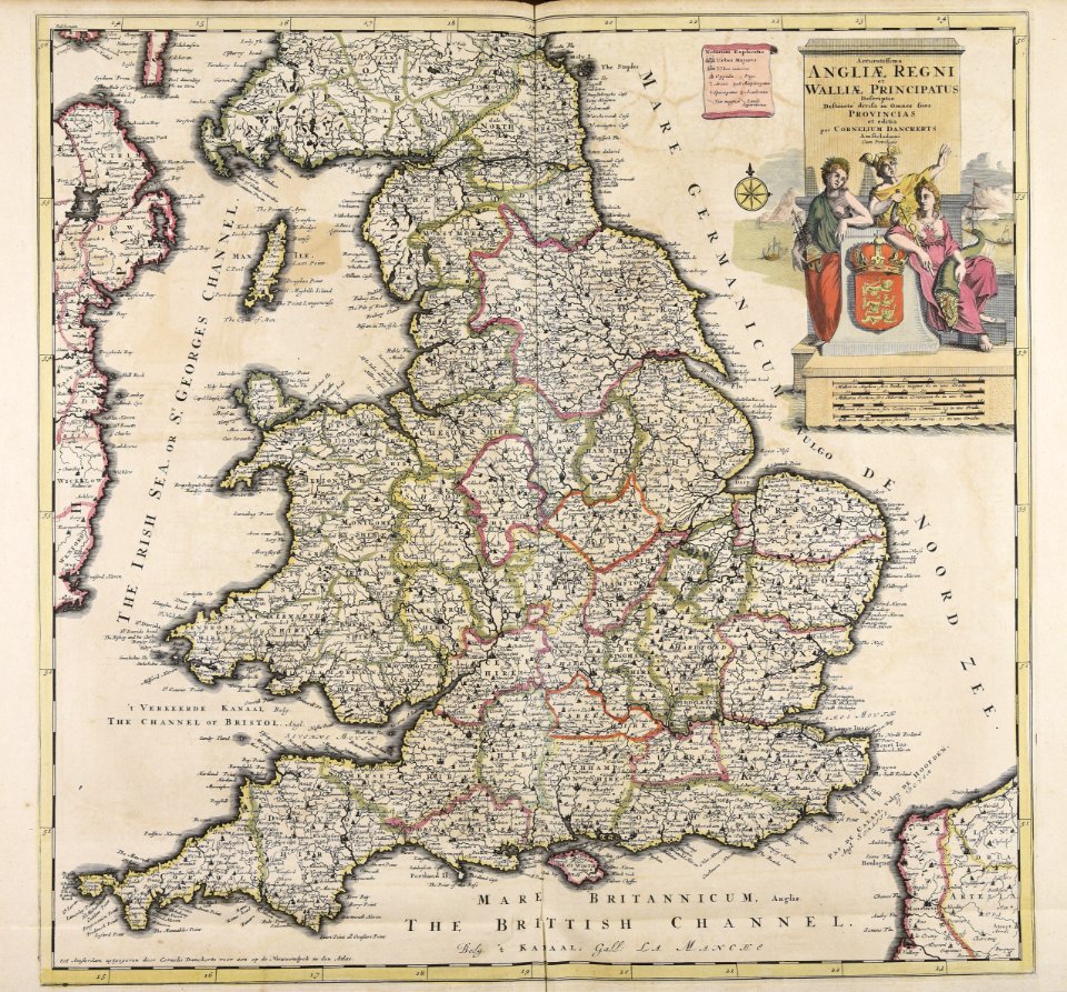
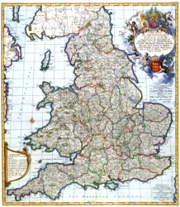
old maps of england
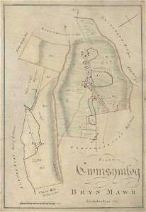
estate maps
estate maps in the national library of wales
old estate maps of wales
maps in the national library of wales
estate maps in the national library of wales
estate maps
maps in the national library of wales
old maps of whole wales (alone)
old maps of england
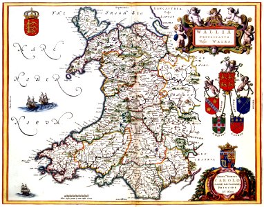
old maps of wales
maps in the national library of wales
old maps of whole wales (alone)
old maps of whole wales (alone)
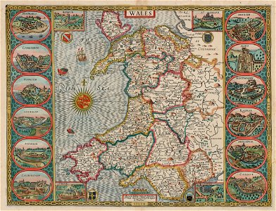
john speed
maps in the national library of wales
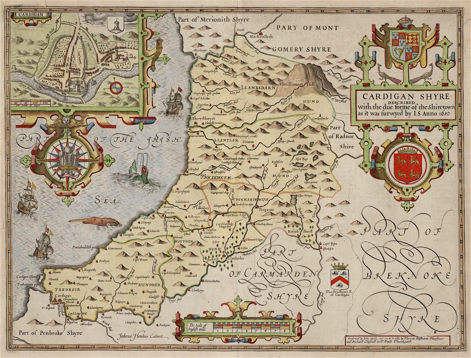
old county maps of cardiganshire
old maps of england
old maps of wales
maps in the national library of wales
old maps of whole wales (alone)
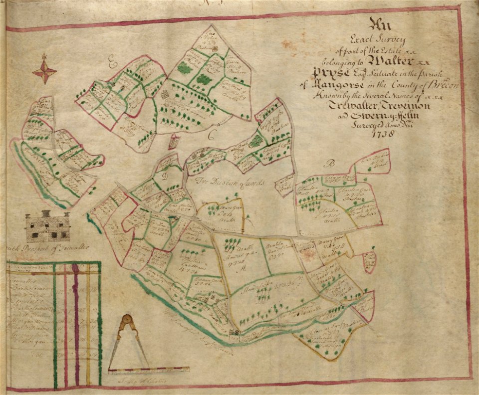
estate maps in the national library of wales
estate maps
estate maps in the national library of wales
estate maps
university of toronto wenceslas hollar digital collection
old maps of wales
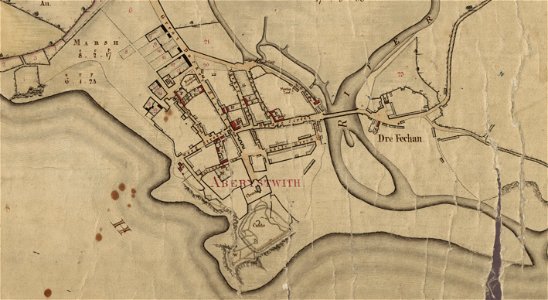
llanbadarn fawr
ceredigion
estate maps in the national library of wales
estate maps
gerard valck
south wales
gerard valck
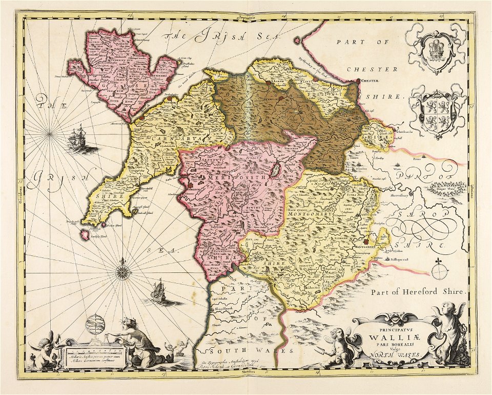
north wales
maps made in the 17th century
old maps of wales
university of toronto wenceslas hollar digital collection
hollar maps and plans of london
maps with cartouches
atlas van der hagen
english society
somerset
maps of aboriginal australia
old maps of new south wales
old maps of wales
hugh hughes
miniature speed atlas (1627) pieter van den keere
old county maps of anglesey
counties of england in art
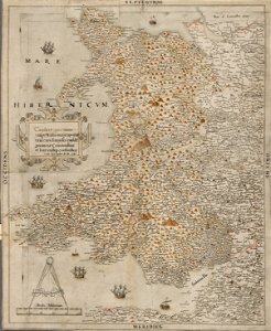
1590 engravings
maps by emanuel bowen
britannia depicta
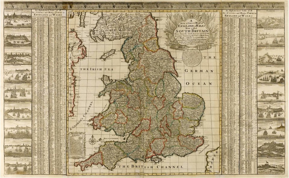
a set of fifty new and correct maps of england and wales
old county maps of northamptonshire
miniature speed atlas (1627) pieter van den keere
maps of wales by john speed
the antiquities of england and wales (1773)
1773 fleurons
the antiquities of england and wales (1773)
1773 fleurons
the antiquities of england and wales (1773)
1773 fleurons
old maps of guernsey
old maps of jersey
18th-century maps of kent
old county maps of kent
the antiquities of england and wales (1773)
18th-century maps of lancashire
old maps of whole wales (alone)
1640s maps of wales
maps by john cary
1796 maps
the antiquities of england and wales (1773)
1784 fleurons
the antiquities of england and wales (1773)
1784 fleurons
the antiquities of england and wales (1773)
1784 fleurons
maps by william home lizars
old maps of sydney
atlas maior, vol 5 (england) - joan blaeu, 1667 - bl 114.h(star).5
old county maps of pembrokeshire
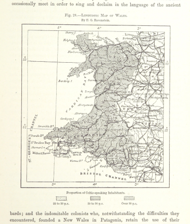
maps from the earth and its inhabitants, vol. iv
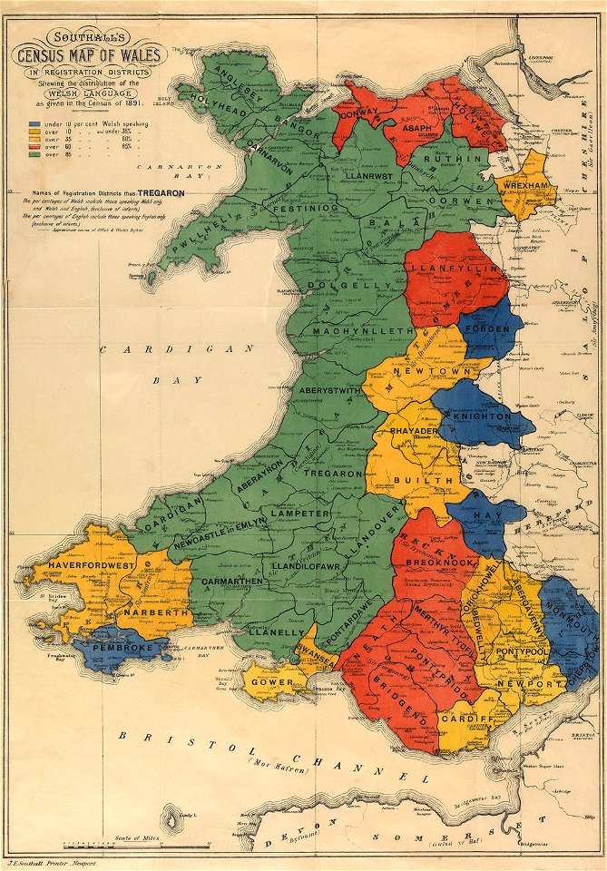
linguistic maps of wales
maps in the british museum
old maps of chester
miniature speed atlas (1627) pieter van den keere
1620s maps of wales
old maps of whole wales (alone)
description de l'universe
atlas maior, vol 5 (england) - joan blaeu, 1667 - bl 114.h(star).5
1660s maps of wales
old maps of whole wales (alone)
1670s maps of wales
old maps of england
1860 maps
miniature speed atlas (1627) pieter van den keere
old maps of the orkney islands
miniature speed atlas (1627) pieter van den keere
old county maps of lincolnshire
admiralty charts region b: england wales ireland english channel southern north sea
admiralty charts 1401-1600
miniature speed atlas (1627) pieter van den keere
old county maps of cheshire
miniature speed atlas (1627) pieter van den keere
old county maps of herefordshire
miniature speed atlas (1627) pieter van den keere
old county maps of lancashire
miniature speed atlas (1627) pieter van den keere
old county maps of leicestershire
miniature speed atlas (1627) pieter van den keere
old county maps of gloucestershire
miniature speed atlas (1627) pieter van den keere
old county maps of huntingdonshire
miniature speed atlas (1627) pieter van den keere
old county maps of derbyshire
miniature speed atlas (1627) pieter van den keere
old maps of the hebrides
maps from the earth and its inhabitants, vol. iv
1870s maps of wales
maps from the earth and its inhabitants, vol. xiv
old maps of sydney
maps from the earth and its inhabitants, vol. xiv
old maps of sydney
maps by peter lesley
maps by james hall
19th-century maps of gloucestershire
old maps of cheltenham
chorographia britanniae (1741-1742)
18th-century maps of monmouthshire
maps by jodocus hondius
maps by john speed
maps by jodocus hondius
maps by john speed
17th-century maps of pembrokeshire
old county maps of pembrokeshire
maps by john cary
1801 maps
1813 in prospect, new south wales
veteran hall remains
1 - 68 of 68
/ 1


![Wallia principatus, vulgo Wales. Serenmo Domino Carolo, Magnae Britanniae, etc. principi Joh. Blaeu / [Excudit J. Blaeu.], 1645](https://cdn.creazilla.com/illustrations/10001591803/wallia-principatus-vulgo-wales-serenmo-domino-carolo-magnae-britanniae-etc-principi-joh-blaeu-excudit-j-blaeu-1645-sm.jpg)


![Wallia principatus vulgo Wales: Seren[issi]mo Domino Carolo Magnae Britanniae, etc. Principi [signé] Joh. Blaeu, 1673](https://cdn.creazilla.com/illustrations/10001204343/wallia-principatus-vulgo-wales-serenissimo-domino-carolo-magnae-britanniae-etc-principi-sign-joh-blaeu-1673-sm.webp)


