Log in
All resources
Create a design
26 Free Artworks of Old Maps Of Lusatia
coats of arms on maps
atlas novus (blaeu)
thüringiae
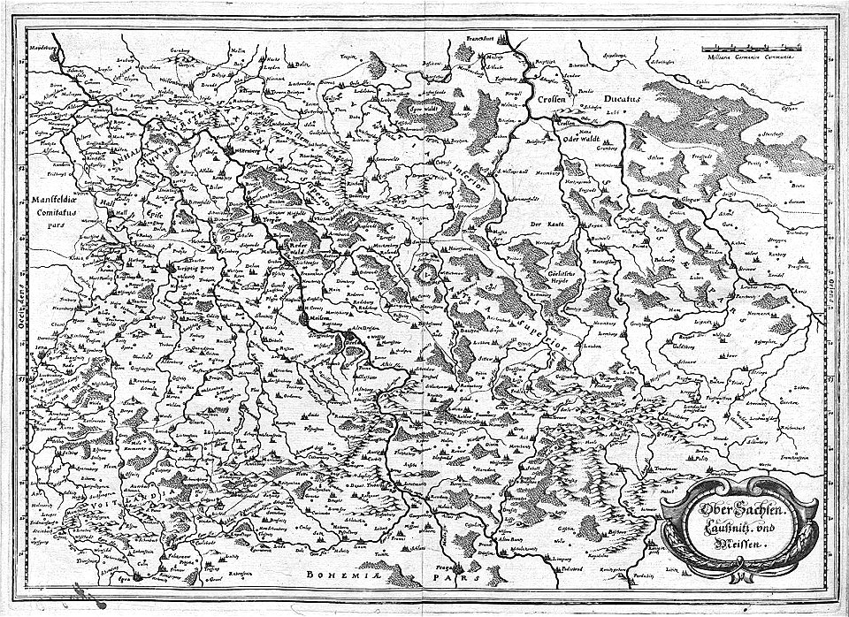
engravings of topographia superioris saxoniae
misniae et lusatiae (merian)
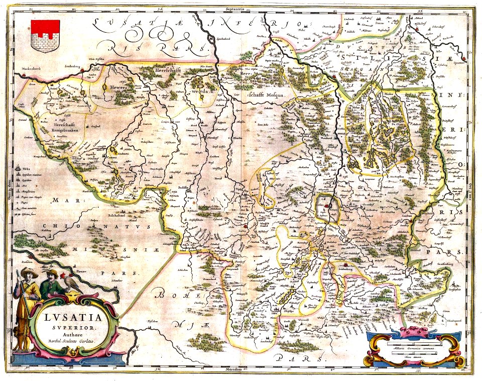
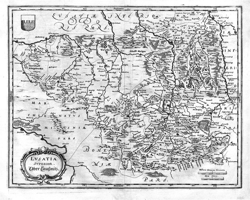
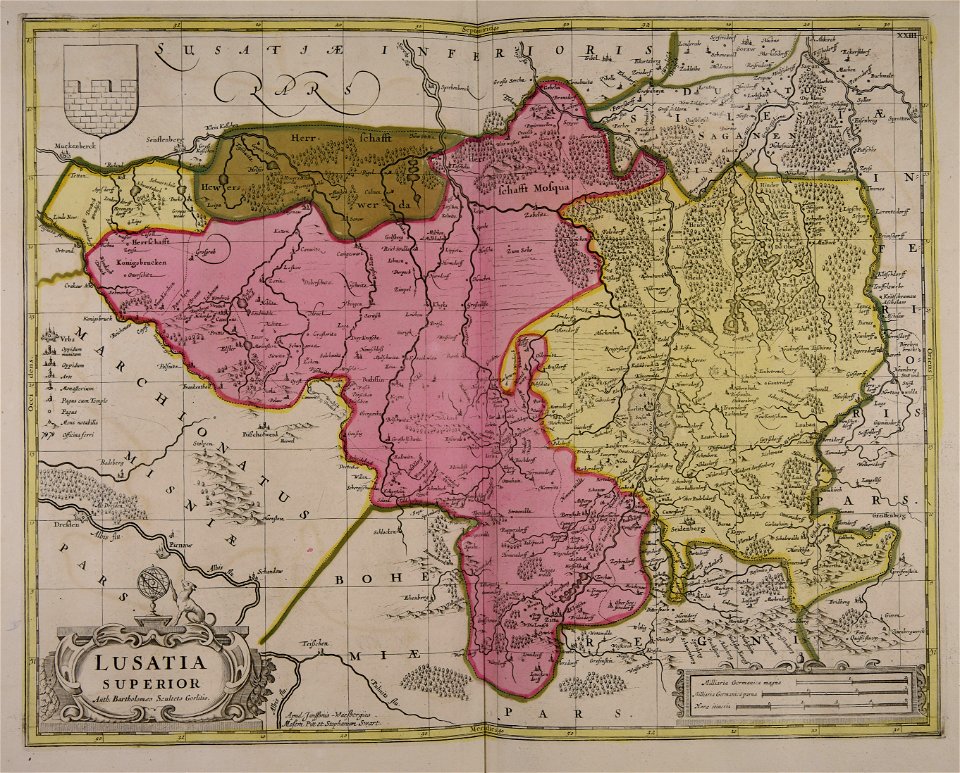
old maps of upper lusatia
baroque
bartholomäus scultetus
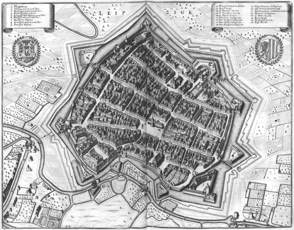
old maps of leipzig
engravings of topographia superioris saxoniae, thüringiae, misniae et lusatiae (merian)
old maps of silesia
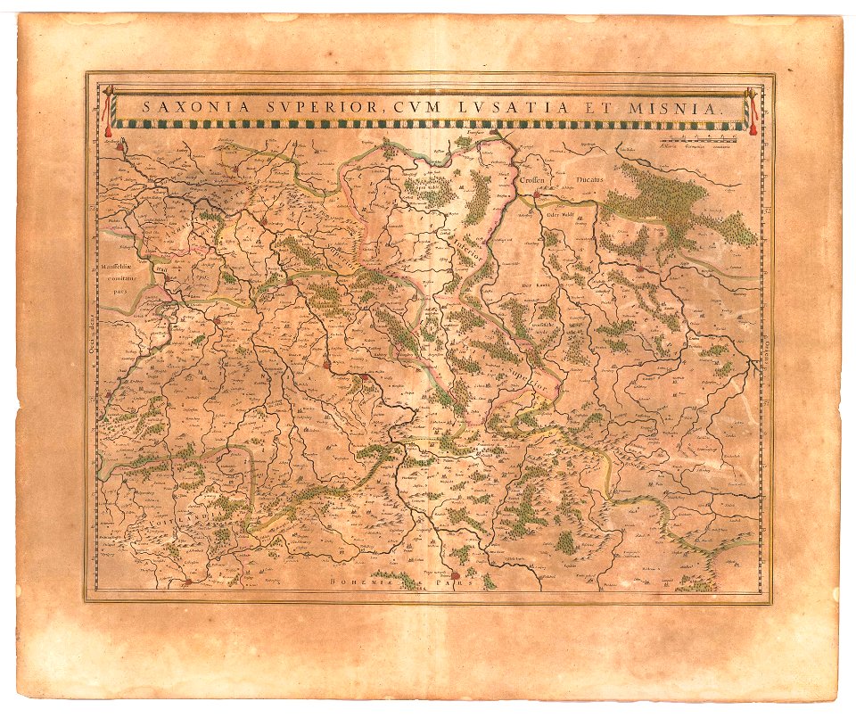
old maps of saxony
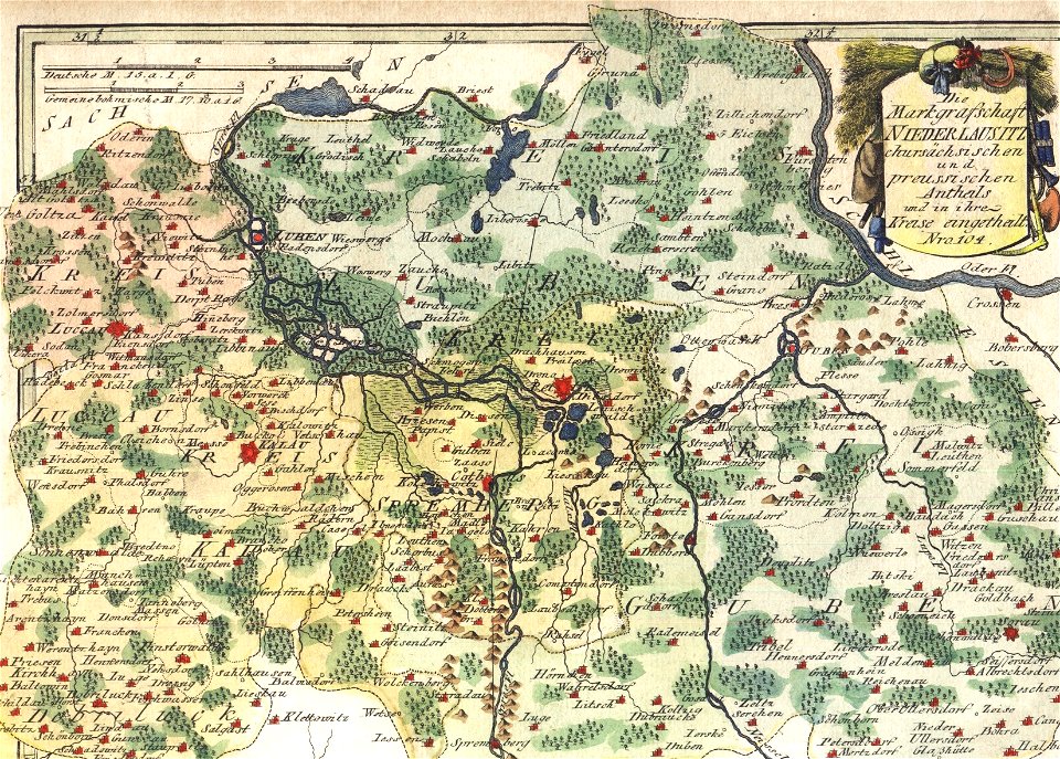
upper lusatia
kwisa
coats of arms on maps
old maps of lusatia
coats of arms on maps
thüringiae
old maps of silesia
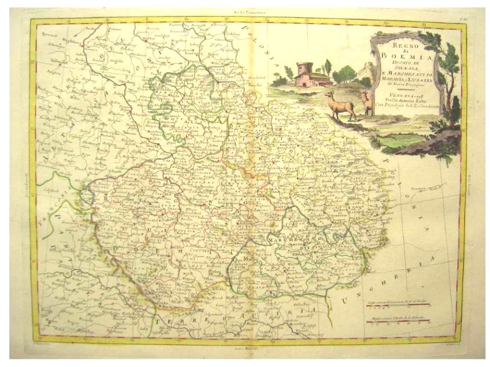
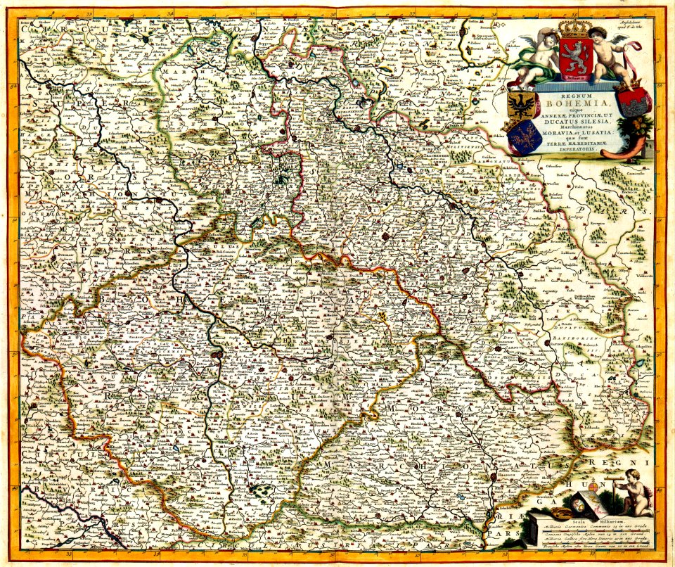
old maps of bohemia
engravings of topographia superioris saxoniae
thüringiae
schauplatz der fünf theile der welt
old maps of lusatia
pictorial maps
thüringiae
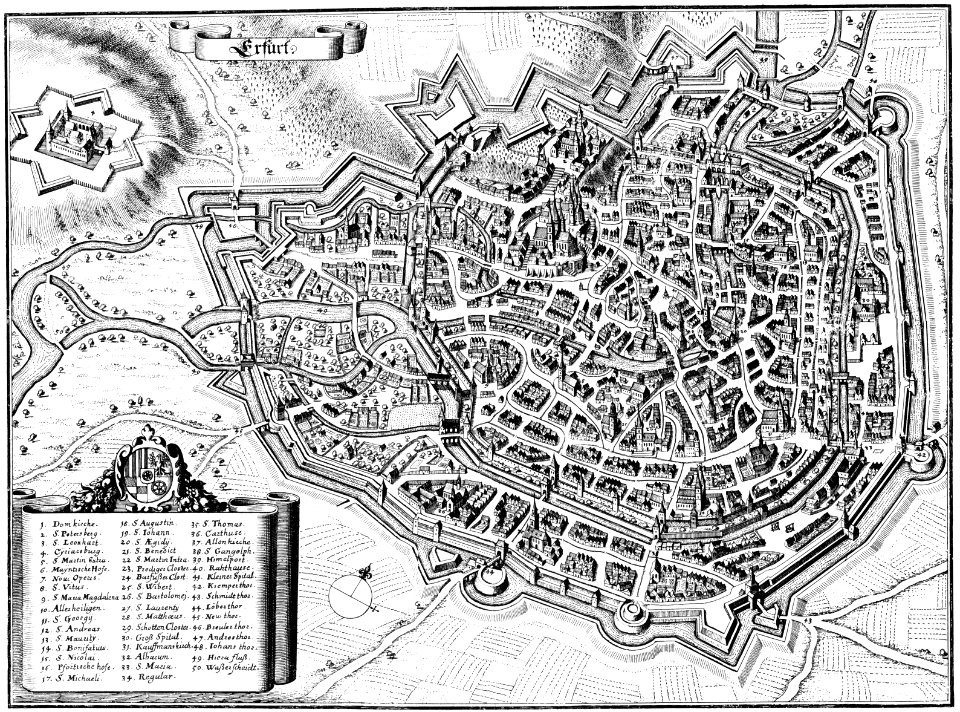
maps of erfurt
erfurt
atlantis magni tomus tertius (biblioteca comunale di trento)
maps made in the 17th century
atlantis magni tomus tertius (biblioteca comunale di trento)
maps made in the 17th century
maps with cartouches
old maps of bohemia
maps by willem and johannes blaeu
old maps of upper lusatia
19th-century maps of bohemia
19th-century maps of silesia
details from maps by gerardus mercator
maps by hendrik hondius the younger
old maps of saxony from deutsche fotothek
1630s maps of saxony
symbolism
drawings
klosterberg (oberlausitz)
symbolism
topographia superioris saxoniae, thüringiae, misniae et lusatiae (merian)
baroque
leipzig in the 17th century
baroque
engravings of topographia superioris saxoniae, thüringiae, misniae et lusatiae (merian)
baroque
maps by john cary
1801 maps
1801 maps of germany
maps by john cary
engravings of topographia superioris saxoniae, thüringiae, misniae et lusatiae (merian)
baroque
old maps of lusatia
maps of bohemia
david rumsey historical map collection
old maps of the holy roman empire
1 - 26 of 26
/ 1