Log in
All resources
Create a design
145 Free Artworks of Maps Of Bohemia
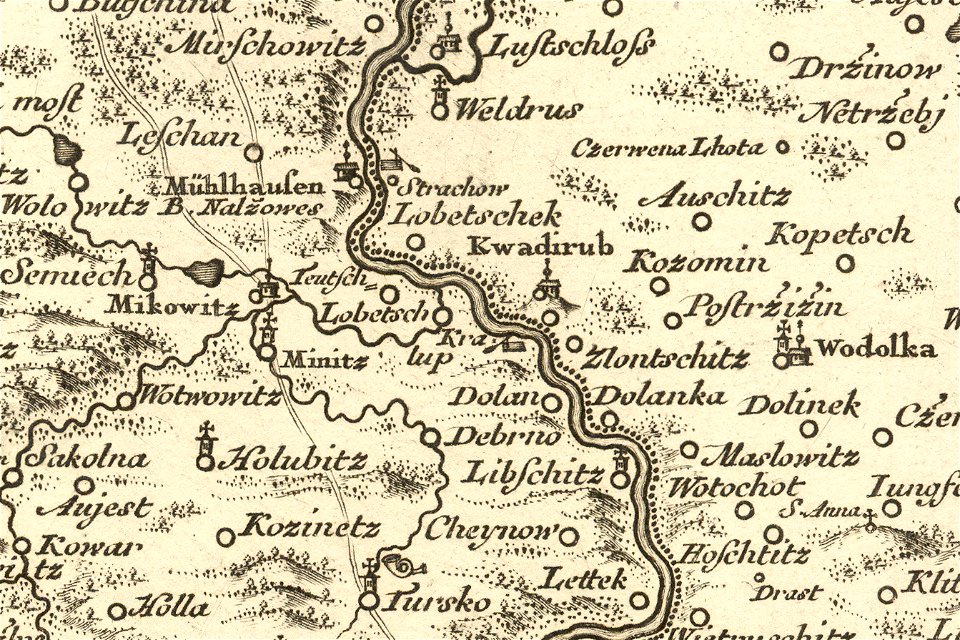
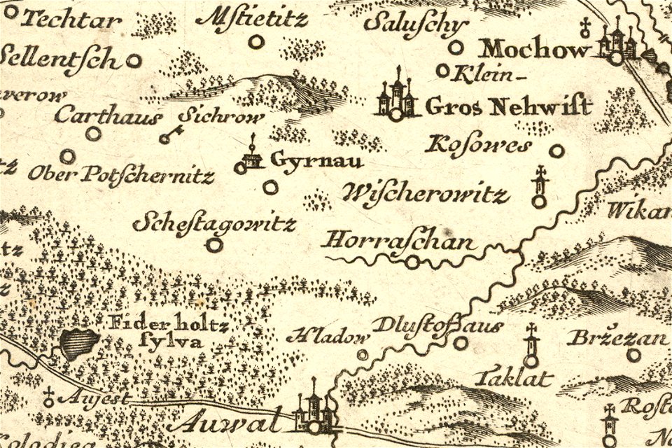
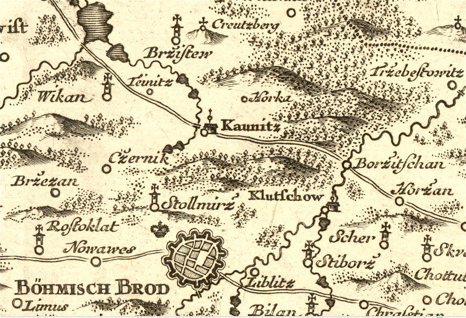
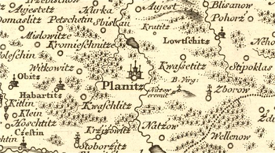
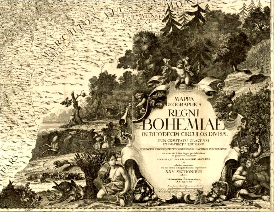
details of müller's map of bohemia
engravings of topographia bohemiae moraviae et silesiae
baroque
topographia bohemiae moraviae et silesiae (merian)
old maps of bohemia
bibliothèque nationale de france
müller's map of bohemia
19th-century maps of bohemia
maps by jan eduard wagner
jan eduard wagner
prints from dankaerts historis at the peace palace library
old maps of bohemia
details of müller's map of bohemia
maps of přibyslav
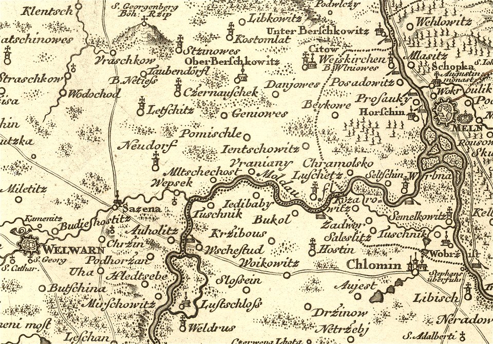
müller's map of bohemia
details of müller's map of bohemia
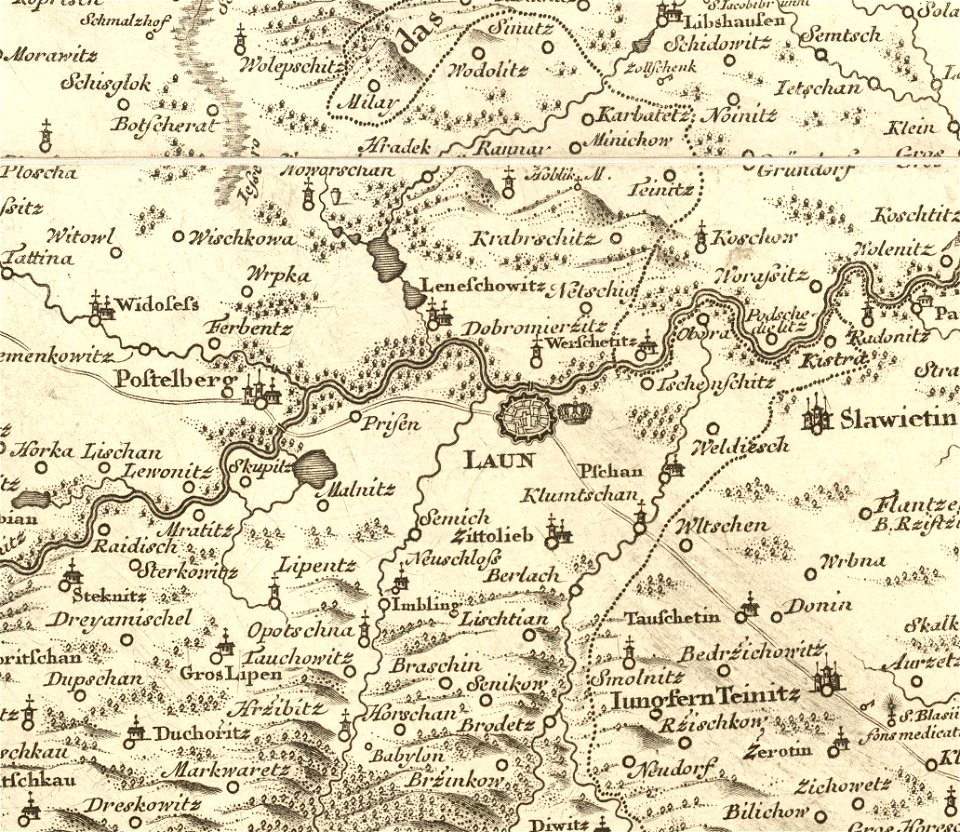
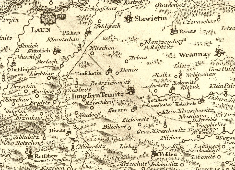
maps of louny district
details of müller's map of bohemia
maps of louny district
details of müller's map of bohemia
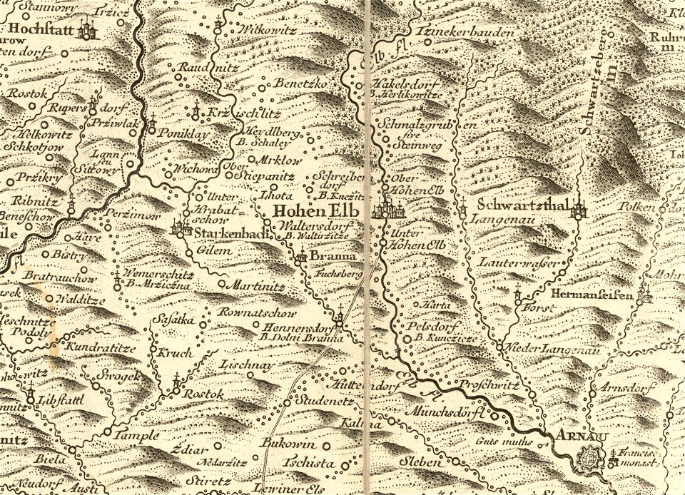
history of vrchlabí
details of müller's map of bohemia
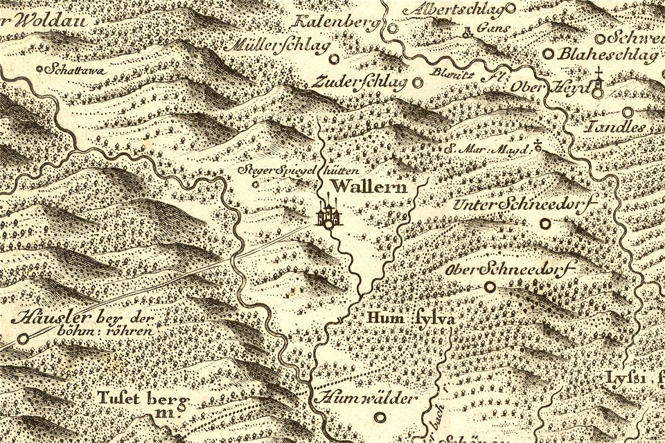
maps of volary
details of müller's map of bohemia
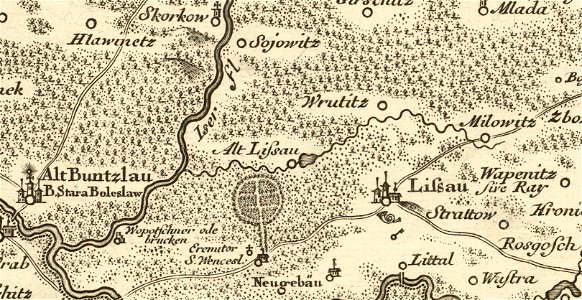
maps of stará lysá
files from the bodleian libraries
old maps of bohemia
müller's map of bohemia
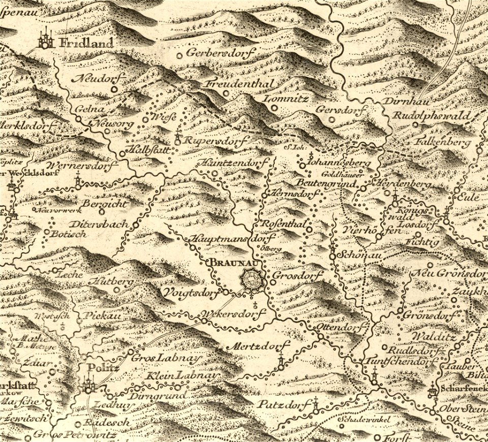
history of broumov
müller's map of bohemia
václav vavřinec reiner
müller's map of bohemia
details of müller's map of bohemia
maps of kralupy nad vltavou
details of müller's map of bohemia
history of hloubětín
details of müller's map of bohemia
jirny
details of müller's map of bohemia
kounice
details of müller's map of bohemia
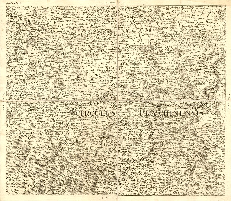
plánice
details of müller's map of bohemia
sázava monastery
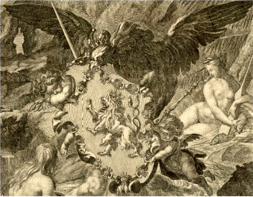
cartouche (cartography)
václav vavřinec reiner
details of müller's map of bohemia
dolní podluží
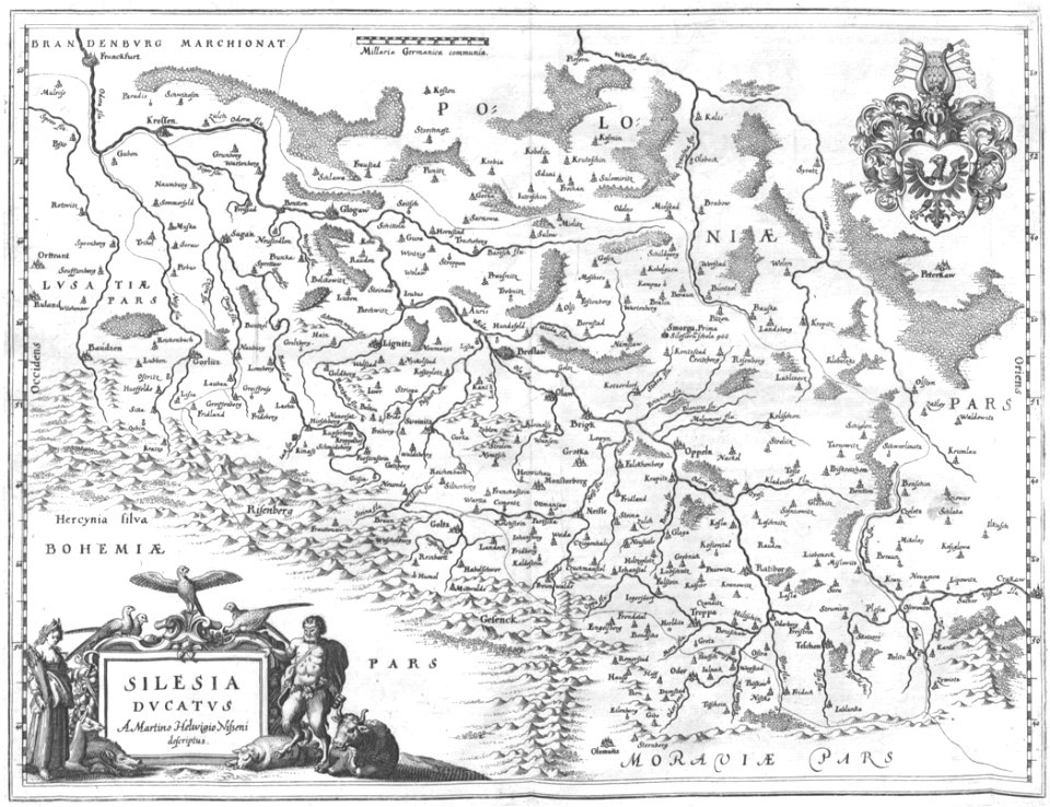
old maps of silesia
old maps of bohemia
prints from dankaerts historis at the peace palace library
maps by johannes janssonius
details of müller's map of bohemia
1720 maps of europe
old maps of the danube
old maps of bohemia
engravings of topographia bohemiae moraviae et silesiae
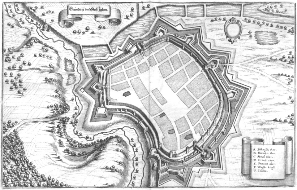
maps of jihlava
details of müller's map of bohemia
pages with isbn errors
1715 maps
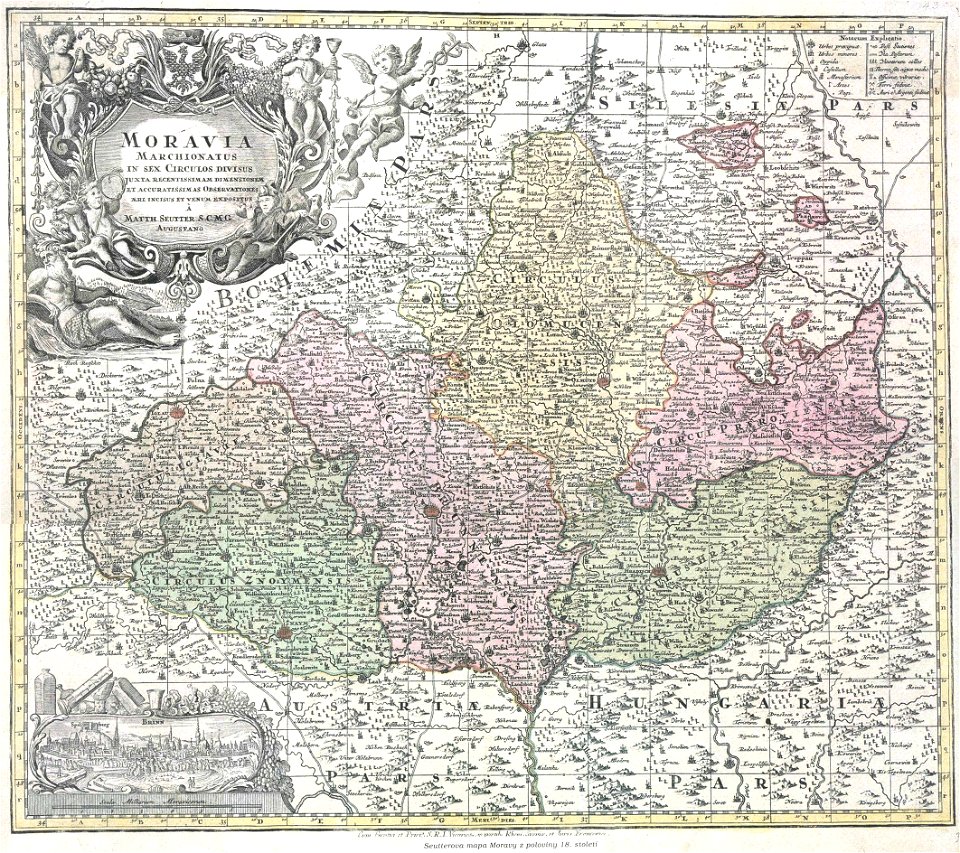
margraviate of moravia (1628-1782)
maps by matthäus seutter
details of müller's map of bohemia
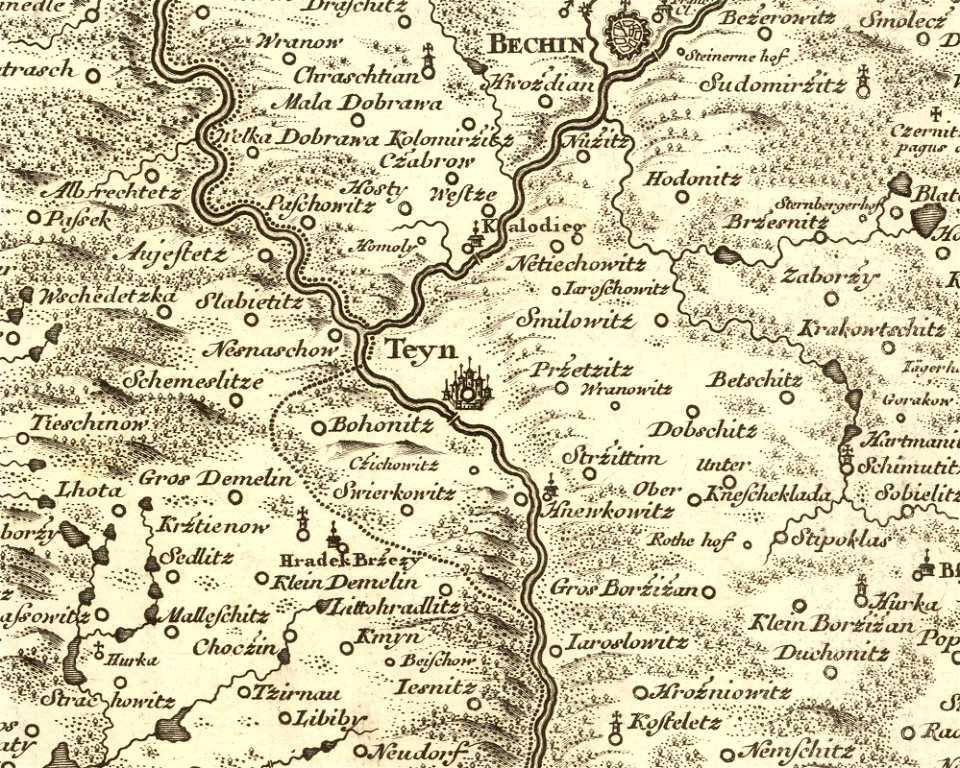
history of týn nad vltavou
müller's map of bohemia
plzeňský kraj (do 1862)
engravings of topographia bohemiae moraviae et silesiae
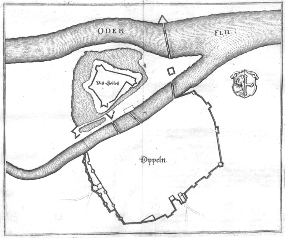
old maps of opole
engravings of topographia bohemiae moraviae et silesiae
old maps of silesia
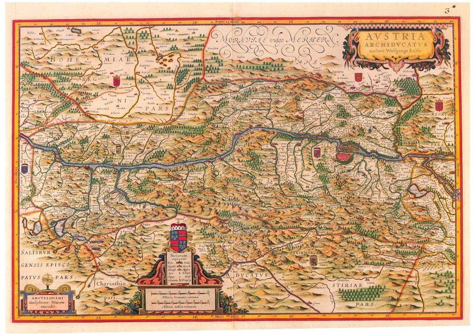
old maps of upper austria
old maps of styria
engravings of topographia bohemiae moraviae et silesiae
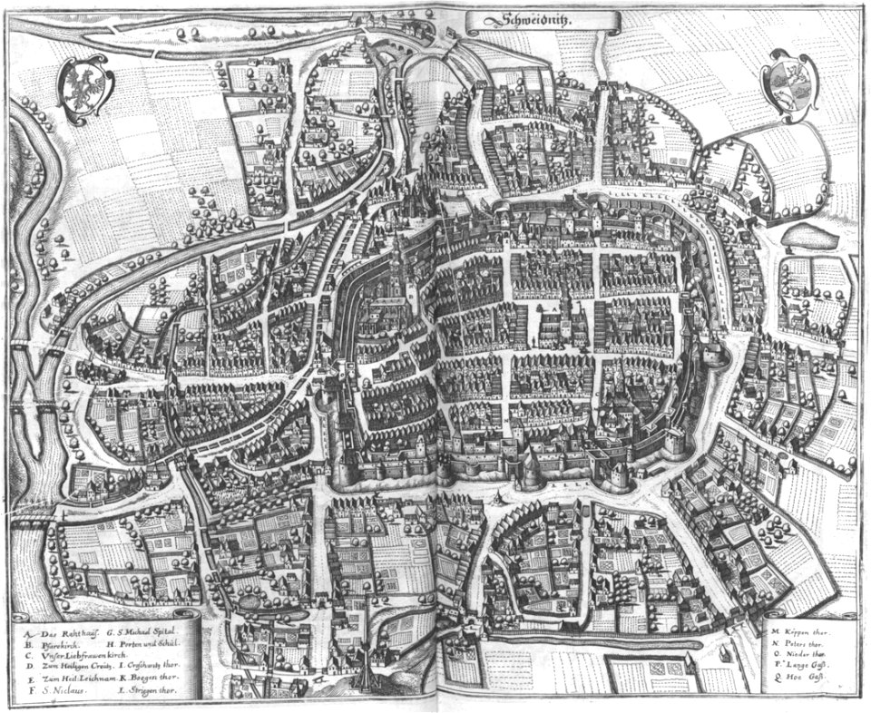
maps of świdnica
engravings of topographia bohemiae moraviae et silesiae
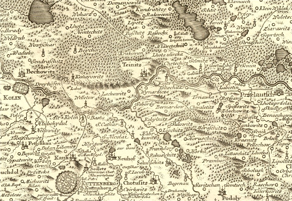
history of kolín
details of müller's map of bohemia
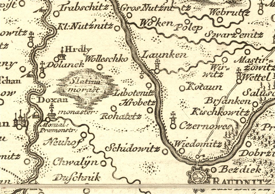
libotenice
details of müller's map of bohemia
dušníky nad vltavou
engravings of topographia bohemiae moraviae et silesiae
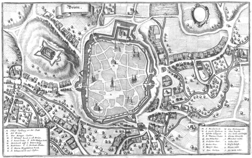
old maps of brno
engravings of topographia bohemiae moraviae et silesiae
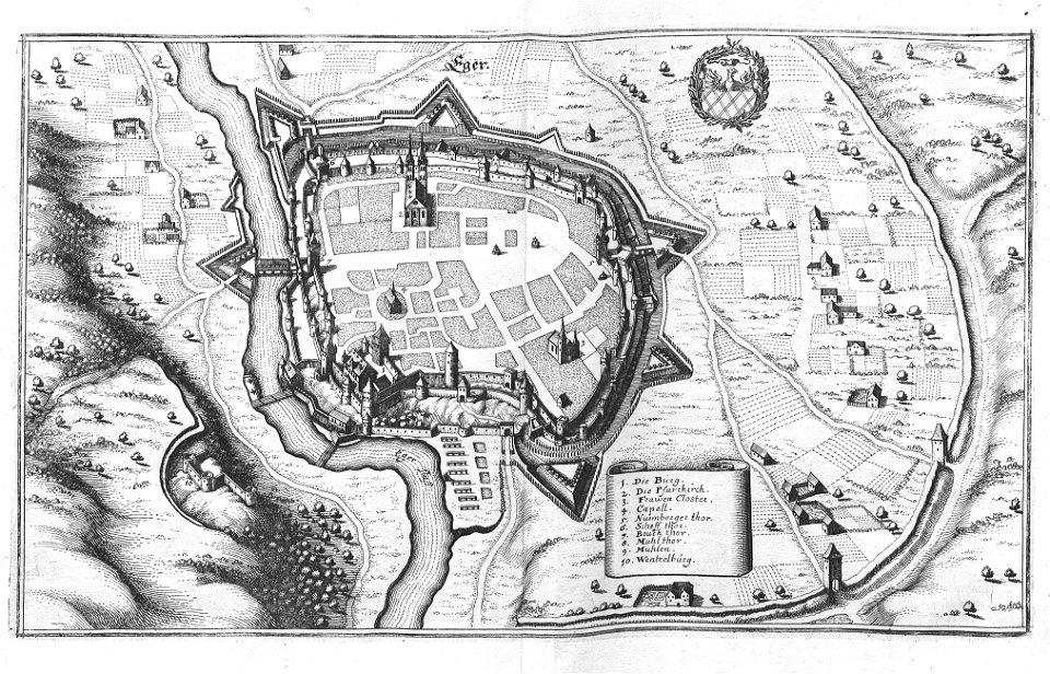
history of cheb
olomouc fortress
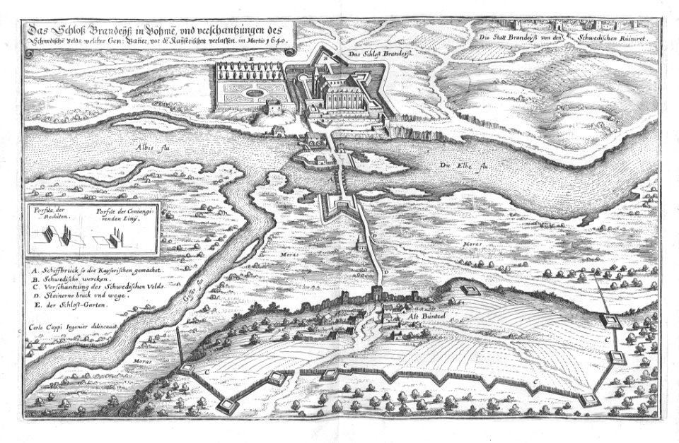
1644
müller's map of bohemia
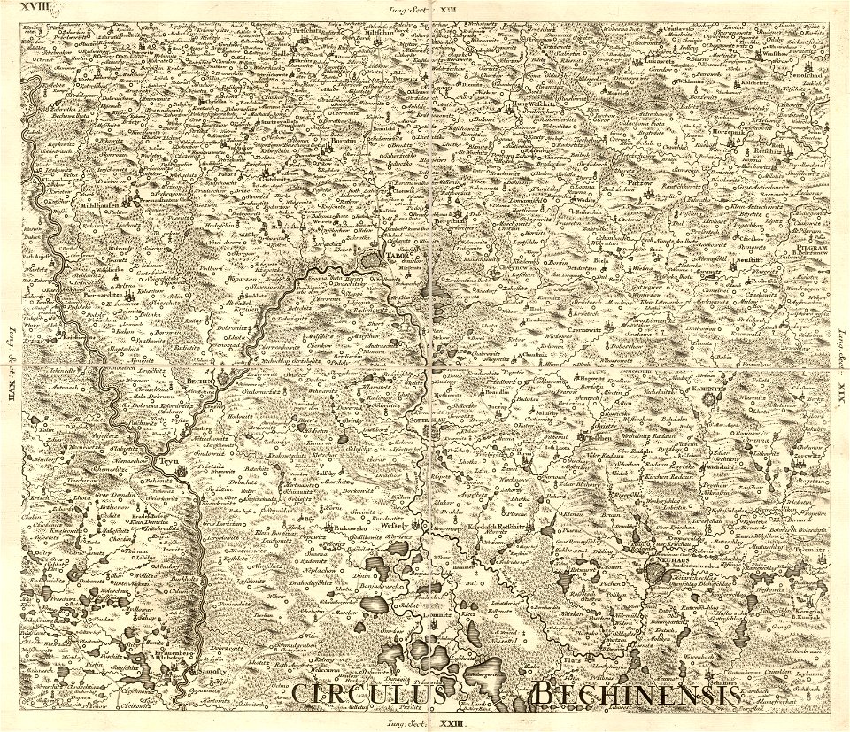
bechyňský kraj
historical maps of plzeň
coats of arms of plzeň
engravings of topographia bohemiae moraviae et silesiae
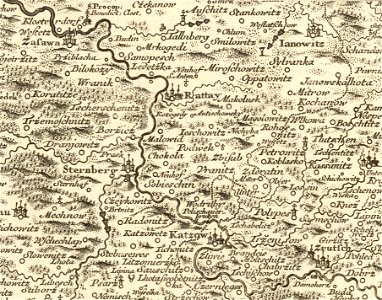
history of hradec králové
engravings of topographia bohemiae moraviae et silesiae
maps of the history of breslau (wrocław)
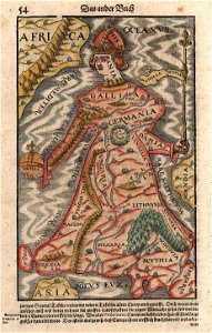
maps made in the 16th century
old maps of bohemia
old maps of bohemia
1552
history of the elbe
elbe in litoměřice
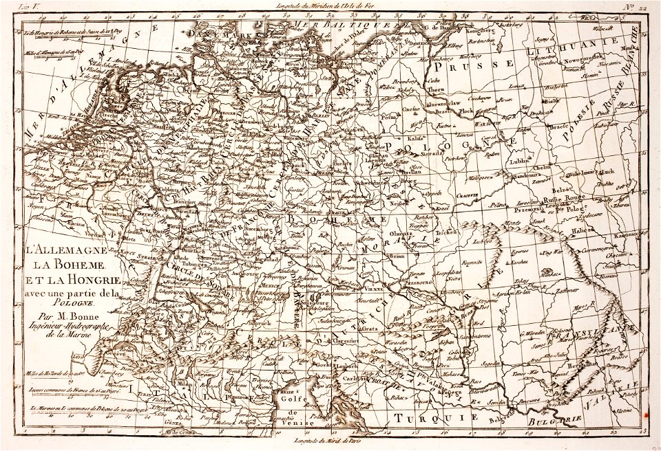
18th-century maps of bohemia
1780 maps of czechia
maps with cartouches
old maps of bohemia
atlantis magni tomus tertius (biblioteca comunale di trento)
maps made in the 17th century
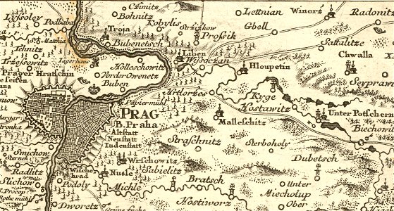
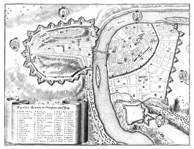
historical images of prague
old maps of prague
cartography
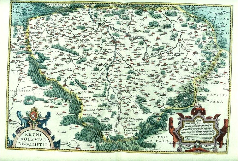
bohemia
elbe in brandýs nad labem-stará boleslav
castle in brandýs nad labem
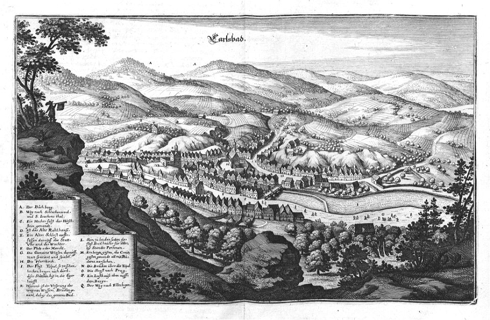
zámecká věž (karlovy vary)
views of karlovy vary
jaroslav zdeněk
josef farský
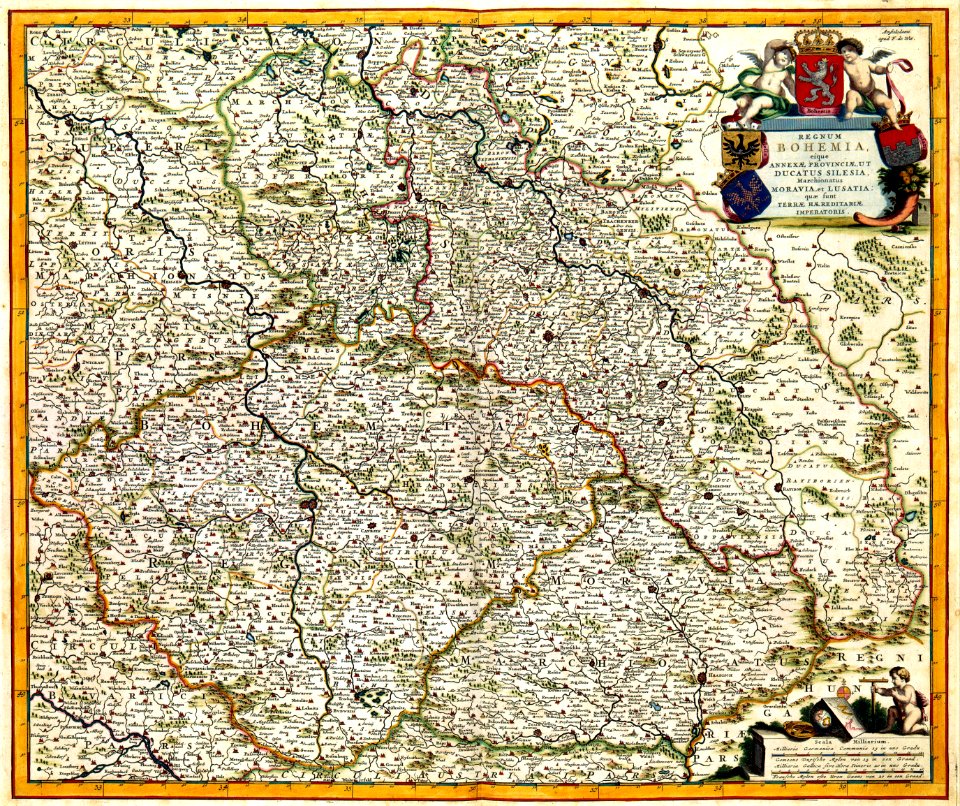
kingdom of bohemia (1627-1740)
17th-century maps of bohemia
files based of data provided by the czech office for surveying and cadastre
maps of the franciscan cadaster of bohemia
19th-century maps of bohemia
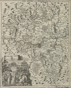
maps of regions of bohemia
19th-century maps of bohemia
19th-century maps of silesia
maps by jan eduard wagner
františek kytka
19th-century maps of bohemia
1880s maps of czechia
kingdom of bohemia (1867–1918)
20th-century maps of bohemia
topographia bohemiae moraviae et silesiae (merian)
baroque
19th-century maps of bohemia
1870s maps of czechia
files based of data provided by the czech office for surveying and cadastre
romantic music
topographia bohemiae moraviae et silesiae (merian)
baroque
1800s maps of czechia
maps by john cary
17th-century maps of bohemia
1645 maps of austria
topographia bohemiae moraviae et silesiae (merian)
baroque
topographia bohemiae moraviae et silesiae (merian)
baroque
maps by jan eduard wagner
františek kytka
eran laor cartographic collection
maps of prague by joris hoefnagel
robert cordier (engraver)
maps by guillaume sanson
topographia bohemiae moraviae et silesiae (merian)
baroque
maps of the history of czechia
engravings by wolfgang kilian
old maps of prague
history of karlín
engravings by wolfgang kilian
old maps of bohemia
topographia bohemiae moraviae et silesiae (merian)
baroque
topographia bohemiae moraviae et silesiae (merian)
baroque
topographia bohemiae moraviae et silesiae (merian)
baroque
engravings of topographia bohemiae moraviae et silesiae
baroque
engravings of topographia bohemiae moraviae et silesiae
baroque
topographia bohemiae moraviae et silesiae (merian)
baroque
topographia bohemiae moraviae et silesiae (merian)
baroque
topographia bohemiae moraviae et silesiae (merian)
baroque
topographia bohemiae moraviae et silesiae (merian)
baroque
topographia bohemiae moraviae et silesiae (merian)
baroque
topographia bohemiae moraviae et silesiae (merian)
maps of polná by braun & hogenberg
topographia bohemiae moraviae et silesiae (merian)
baroque
eran laor cartographic collection
pieter van der keere
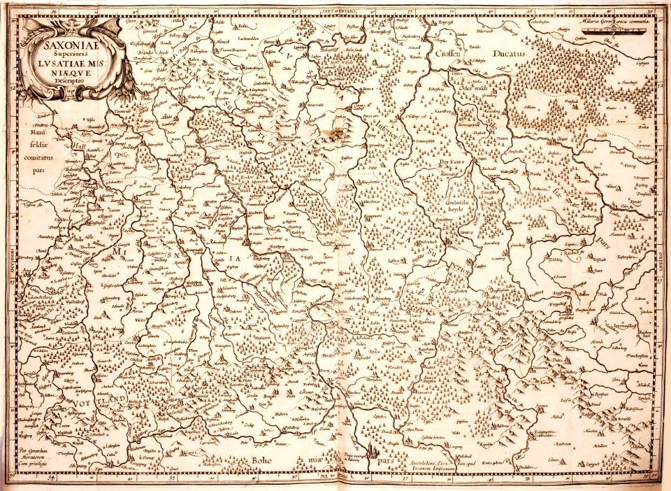
old maps of lusatia
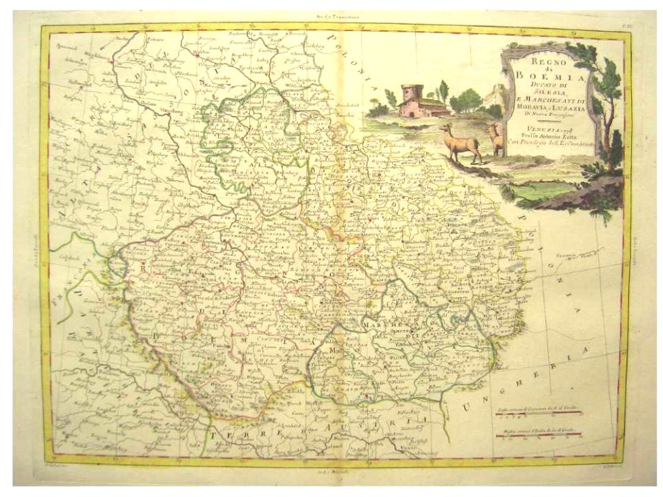
maps of bohemia
images in ottův slovník naučný (volume 6)
maps in ottův slovník naučný
images in ottův slovník naučný (volume 6)
maps in ottův slovník naučný
17th-century maps of the black sea
maps by willem and johannes blaeu
topographia bohemiae moraviae et silesiae (merian)
baroque
maps by pieter van der keere
old maps of bohemia
map of the circle of austria by sanson
1690s maps of austria
map of the circle of austria by sanson
1690s maps of austria
files based of data provided by the czech office for surveying and cadastre
svatý mikuláš (kutná hora district)
map of the circle of austria by sanson
1690s maps of austria
1 - 100 of 145
Next page
/ 2