Log in
All resources
Create a design
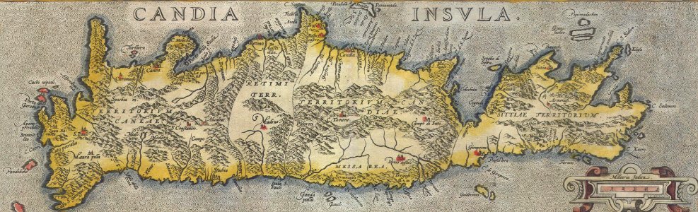
1584 Ortelius Map of Crete (Candia) and 10 Greek Islands - Geographicus - CandiaInsula-ortelius-1584 (cropped)
Download
Edit image
Published by:
Creazilla
Author:
Abraham Ortelius (1527–1598)
Source:
commons.wikimedia.org
Loading...
0 downloads
Print it
Copy image
Loading...
old maps of greece
old maps of crete
latin-language maps
maps by abraham ortelius
1584 maps of europe
MORE LIKE THIS