Log in
All resources
Create a design
175 Free Artworks of Maps Of The British Isles
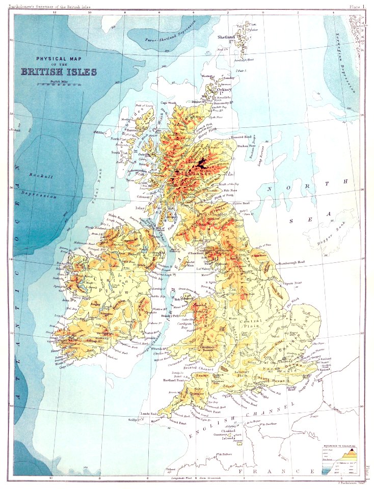
maps from the earth and its inhabitants, vol. iv
old maps of the british isles
1880s maps of the british isles
vintage maps
maps with cartouches
1800s
19th-century maps of yorkshire
british library
paper
british museum
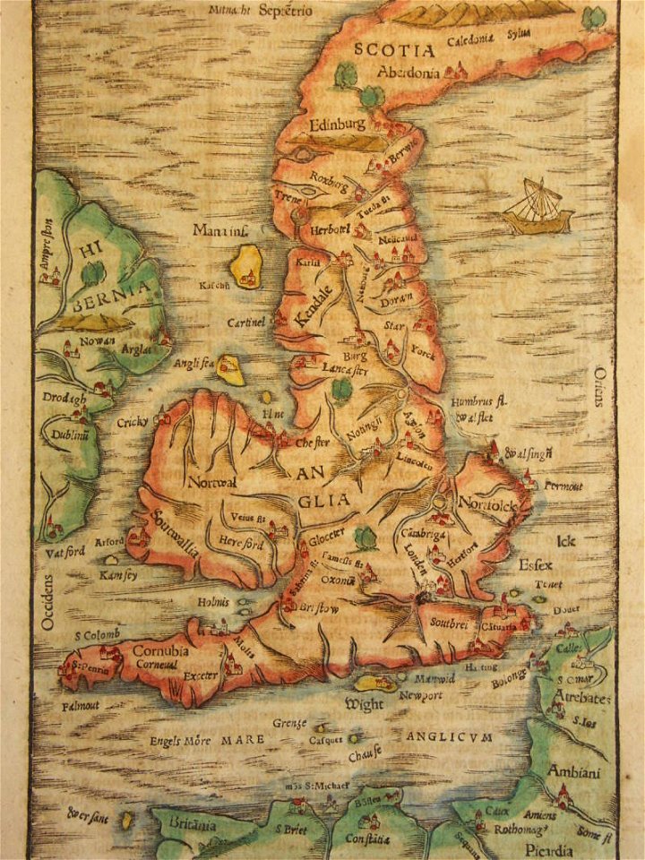
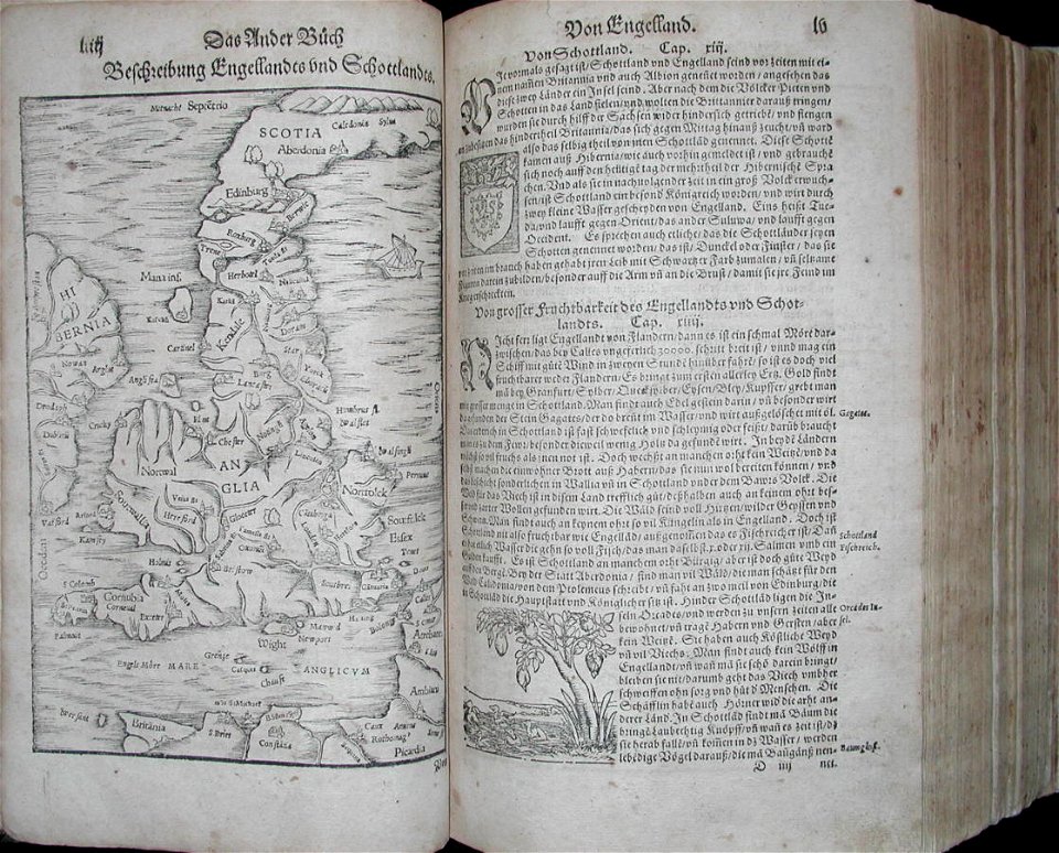
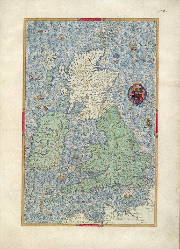
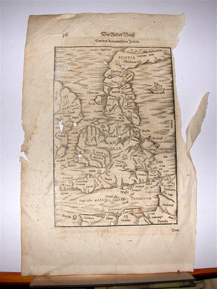
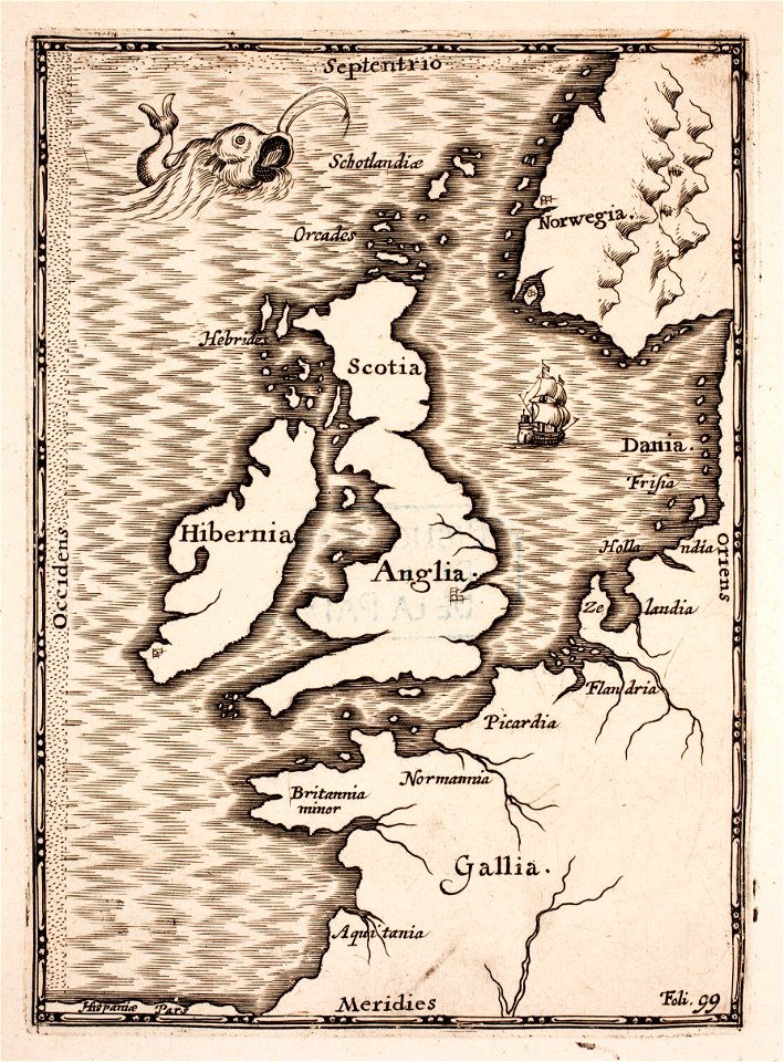
cosmographia (1600) by sebastian münster
old maps of the british isles
old maps of the british isles
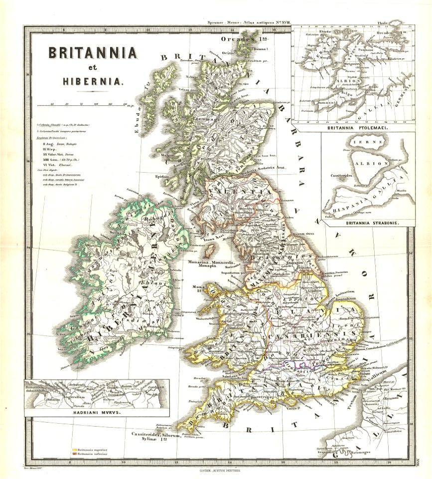
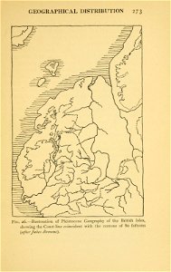
ptolemaic britain
illustrations of cosmographia (münster)
old maps of the british isles
maps by willem and johannes blaeu
old maps of the british isles
old maps of the british isles
1890s maps
old maps of the british isles
karl spruner von merz
old maps of the british isles
old maps of europe
cosmographia (1628) by sebastian münster
old maps of the british isles
maps
sea
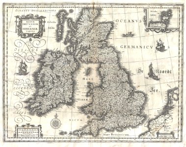
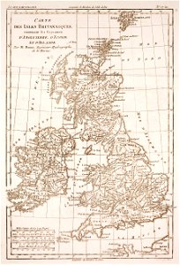
maps of the united kingdom of great britain and ireland
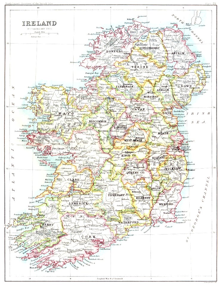
ireland in the 1900s
old maps of the british isles
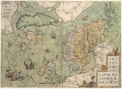
old maps of scandinavia
england
maps
vintage
maps
cartography
maps
prints from selden mare clausum at the peace palace library
old maps of the british isles
old maps of the british isles
coats of arms on maps
old maps of the british isles
maps made in the 18th century
university of toronto wenceslas hollar digital collection
old maps of the british isles
old maps of the british isles
maps with cartouches
prints from bonne atlas de toutes les parties at the peace palace library
old maps of the british isles
old maps of the british isles
victorian era
maps of the british isles by gerardus mercator
maps by hendrik hondius the younger
maps from the earth and its inhabitants, vol. iv
maps of river trent
17th-century maps of the strait of magellan
maps by nicolas sanson
maps in the british museum
maps by john cary
maps by john cary
john cary
british library king's topographical collection
william henry toms
old maps of the kingdom of france (987-1792)
19th-century maps of the british isles
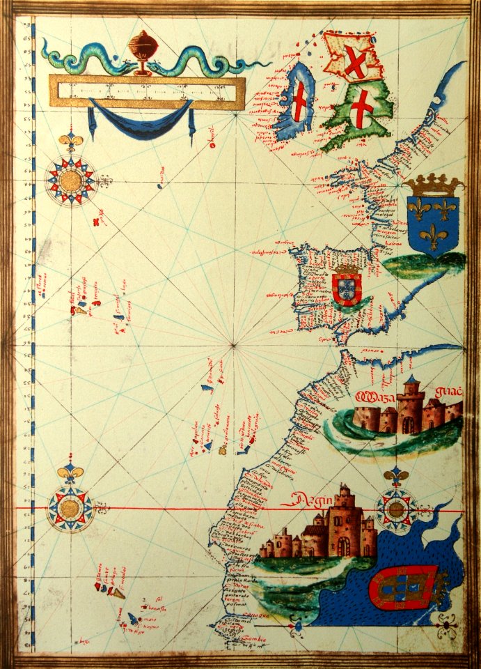
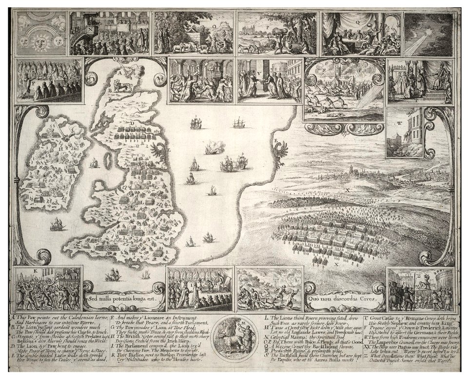
expeditionis hispanorum in angliam vera descriptio anno domini mdlxxxviii
maps of the spanish armada
maps from the earth and its inhabitants, vol. iv
topographic maps of scotland
maps from the earth and its inhabitants, vol. iv
old maps of the isle of arran
maps from the earth and its inhabitants, vol. iv
halifax, yorkshire
maps from the earth and its inhabitants, vol. iv
1880s maps of the british isles
maps from the earth and its inhabitants, vol. iv
1880s maps of the british isles
maps from the earth and its inhabitants, vol. iv
1880s maps of the british isles
maps from the earth and its inhabitants, vol. iv
1880s maps of the british isles
maps from the earth and its inhabitants, vol. iv
1880s maps of the british isles
maps from the earth and its inhabitants, vol. iv
1880s maps of the british isles
maps from the earth and its inhabitants, vol. iv
1880s maps of the british isles
maps from the earth and its inhabitants, vol. iv
1880s maps of the british isles
historisk atlas (stockholm, norstedt & söner, 1880)
19th-century maps of the british isles
maps from the earth and its inhabitants, vol. iv
1880s maps of the british isles
maps from the earth and its inhabitants, vol. iv
1880s maps of the british isles
maps from the earth and its inhabitants, vol. iv
old maps of the lake district
maps from the earth and its inhabitants, vol. iv
old maps of the isle of arran
maps from the earth and its inhabitants, vol. iv
19th-century maps of the isle of man
maps from the earth and its inhabitants, vol. iv
boston, england
ptolemy's 1st european map
bologna ptolemy
maps in the british museum
old maps of hampshire
fish
maps
maps from the earth and its inhabitants, vol. iv
maps of cheltenham
maps from the earth and its inhabitants, vol. iv
1870s maps of london
maps from the earth and its inhabitants, vol. iv
old maps of edinburgh
maps from the earth and its inhabitants, vol. iv
old maps of newcastle upon tyne
maps from the earth and its inhabitants, vol. iv
maps of the humber estuary
maps from the earth and its inhabitants, vol. iv
19th-century maps of kent
maps from the earth and its inhabitants, vol. iv
1870s maps of london
maps from the earth and its inhabitants, vol. iv
stockton-on-tees
maps from the earth and its inhabitants, vol. iv
old maps of edinburgh
maps from the earth and its inhabitants, vol. iv
old maps of leeds
maps from the earth and its inhabitants, vol. iv
old maps of lindisfarne
maps from the earth and its inhabitants, vol. iv
old maps of hastings, england
maps from the earth and its inhabitants, vol. iv
queensferry crossing
maps from the earth and its inhabitants, vol. iv
peterborough
maps from the earth and its inhabitants, vol. iv
dumbarton
atlas maior, vol 6 (scotland and ireland) - joan blaeu, 1667 - bl 114.h(star).6
1667 maps
maps from the earth and its inhabitants, vol. iv
old maps of the hebrides
maps from the earth and its inhabitants, vol. iv
maps of ben nevis
maps from the earth and its inhabitants, vol. iv
19th-century maps of lancashire
maps from the earth and its inhabitants, vol. iv
19th-century maps of county durham
maps from the earth and its inhabitants, vol. iv
old maps of glasgow
maps from the earth and its inhabitants, vol. iv
19th-century maps of kent
maps from the earth and its inhabitants, vol. iv
maps of loch lomond
maps from the earth and its inhabitants, vol. iv
19th-century maps of lancashire
maps from the earth and its inhabitants, vol. iv
old maps of derby
maps from the earth and its inhabitants, vol. iv
old maps of hartlepool
maps from the earth and its inhabitants, vol. iv
19th-century maps of lincolnshire
maps from the earth and its inhabitants, vol. iv
old maps of liverpool
maps from the earth and its inhabitants, vol. iv
1880s maps of scotland
maps from the earth and its inhabitants, vol. iv
old maps of the firth of forth
atlas maior, vol 6 (scotland and ireland) - joan blaeu, 1667 - bl 114.h(star).6
1667 maps
maps from the earth and its inhabitants, vol. iv
maps of the firth of clyde
maps from the earth and its inhabitants, vol. iv
1880s maps of ireland
maps from the earth and its inhabitants, vol. iv
old maps of hadrian's wall
maps from the earth and its inhabitants, vol. iv
old maps of york
maps from the earth and its inhabitants, vol. iv
old maps of leeds
maps from the earth and its inhabitants, vol. iv
old maps of sheffield
maps by jean-baptiste bourguignon d'anville
18th-century maps of western europe
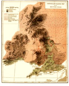
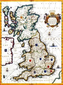
great britain
mollusk
18th-century maps of the british isles
armada tapestries
17th-century maps of the british isles
maps by abraham ortelius
18th-century maps of the british isles
armada tapestries
maps from the earth and its inhabitants, vol. iv
maps from the earth and its inhabitants, vol. iv
maps from the earth and its inhabitants, vol. iv
maps from the earth and its inhabitants, vol. iv
maps from the earth and its inhabitants, vol. iv
maps from the earth and its inhabitants, vol. iv
maps from the earth and its inhabitants, vol. iv
maps from the earth and its inhabitants, vol. iv
eye peninsula
1 - 100 of 175
Next page
/ 2