Log in
All resources
Create a design
12 Free Artworks of 19th Century Maps Of Kent
maps from the earth and its inhabitants, vol. iv
maps of rochester, kent
old maps of dover, kent
old maps of hastings, england
maps from the earth and its inhabitants, vol. iv
faversham creek
maps from the earth and its inhabitants, vol. iv
old maps of dover, kent
maps from the earth and its inhabitants, vol. iv
maps of rochester, kent
maps from the earth and its inhabitants, vol. iv
19th-century maps of kent
maps from the earth and its inhabitants, vol. iv
old maps of hastings, england
maps from the earth and its inhabitants, vol. iv
old maps of hastings, england
maps from the earth and its inhabitants, vol. iv
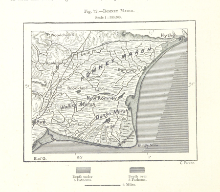
romney marsh
maps from the earth and its inhabitants, vol. iv
isle of thanet
maps from the earth and its inhabitants, vol. iv
19th-century maps of kent
maps from the earth and its inhabitants, vol. iv
19th-century maps of kent
cary's new itinerary (1815)
19th-century maps of kent
the frozen zone and its explorers (1874)
19th-century maps of greenland
1 - 12 of 12
/ 1