Log in
All resources
Create a design
268 Free Artworks of Old Maps Of York
old maps of new york (state)
maps of the adirondack mountains
new york city
united states geological survey maps
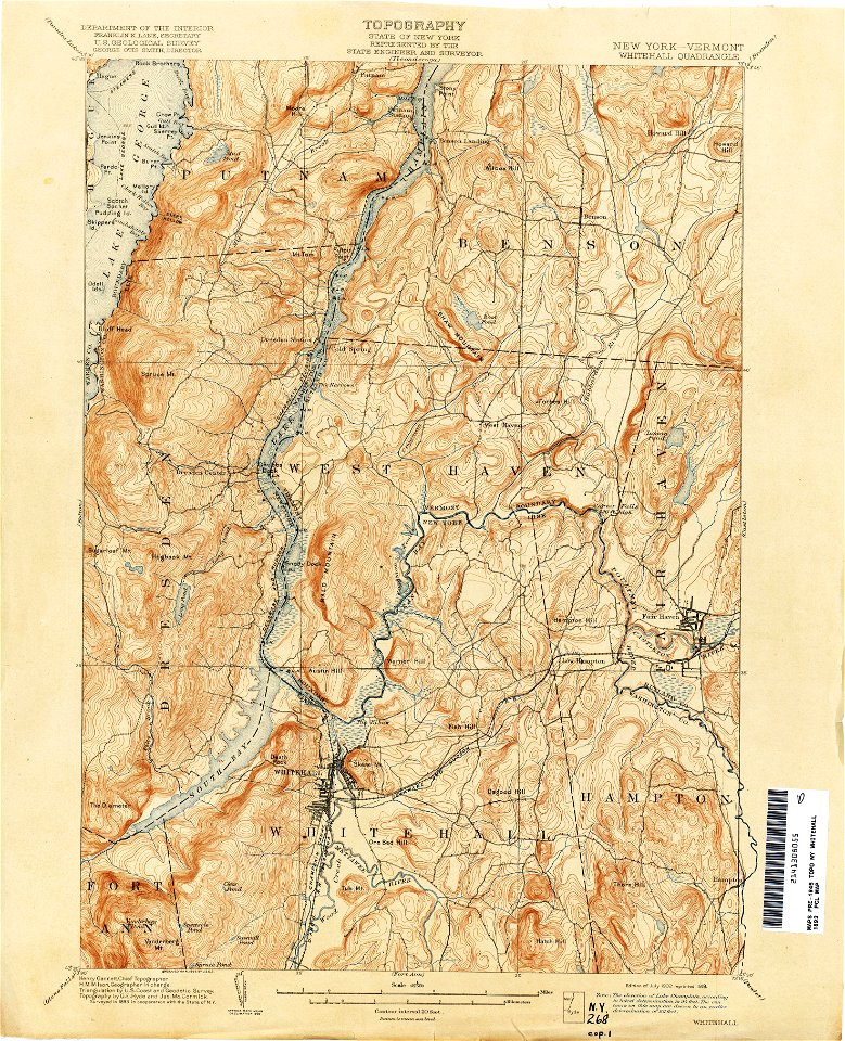
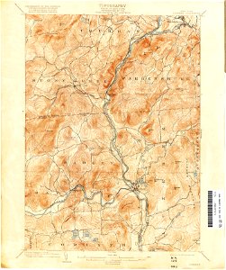
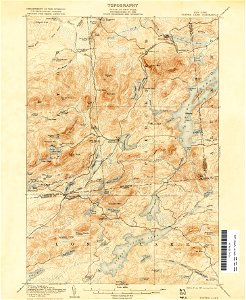
topographic maps of new york (state)
old maps of manhattan
maps in the library of congress
images from the new york public library
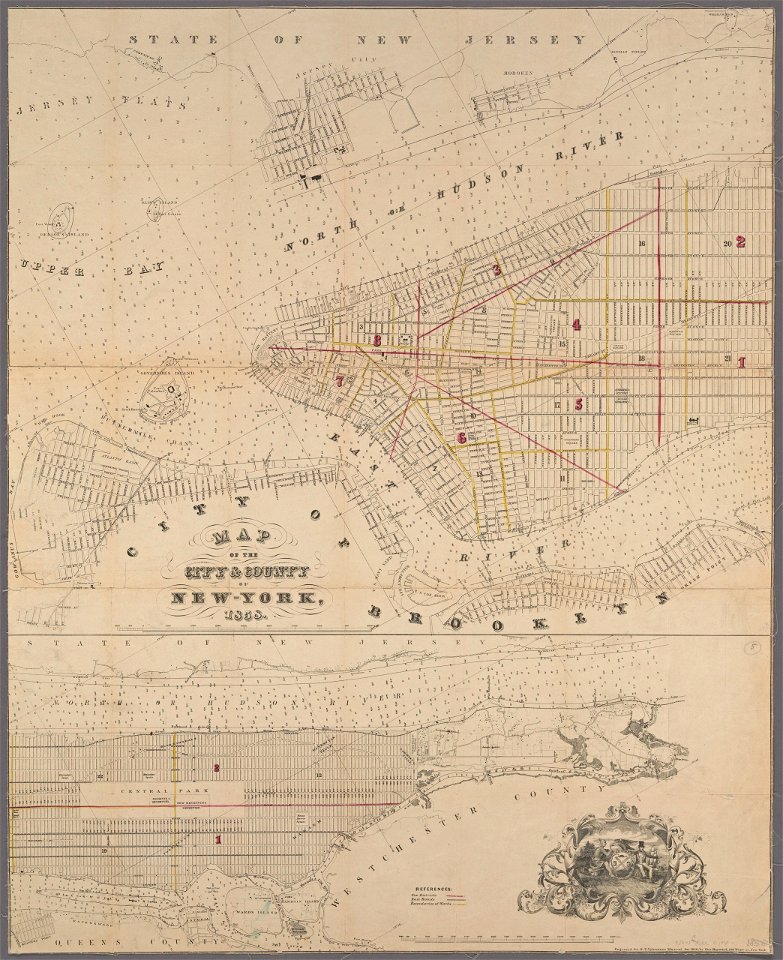
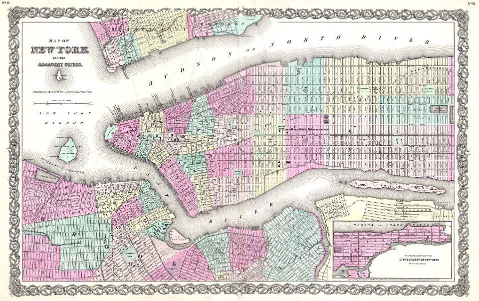
old maps of new york city
new york
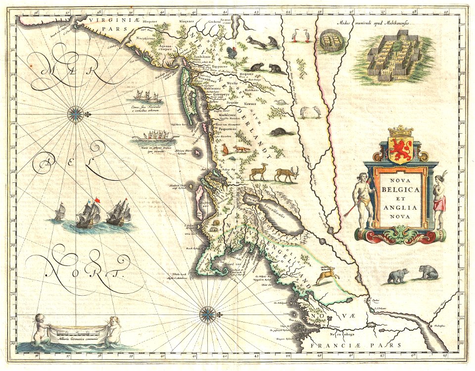
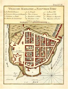
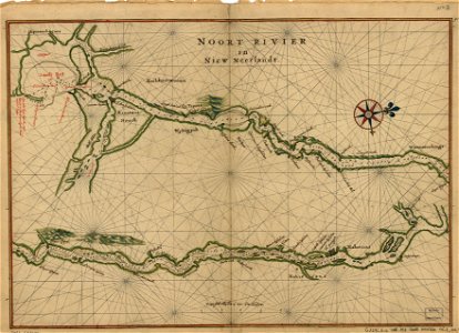
1639 maps
1670 maps
city investing building
astor house building
old county maps of lancashire
copper engravings
old maps of manhattan
new york city
new york city
1867 maps
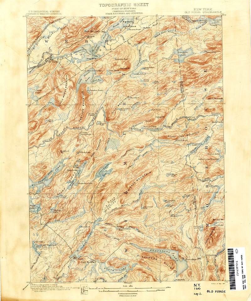
old forge
new york
old maps of manhattan
new york city
old maps of new york (state)
new york city
new york city
1863 maps
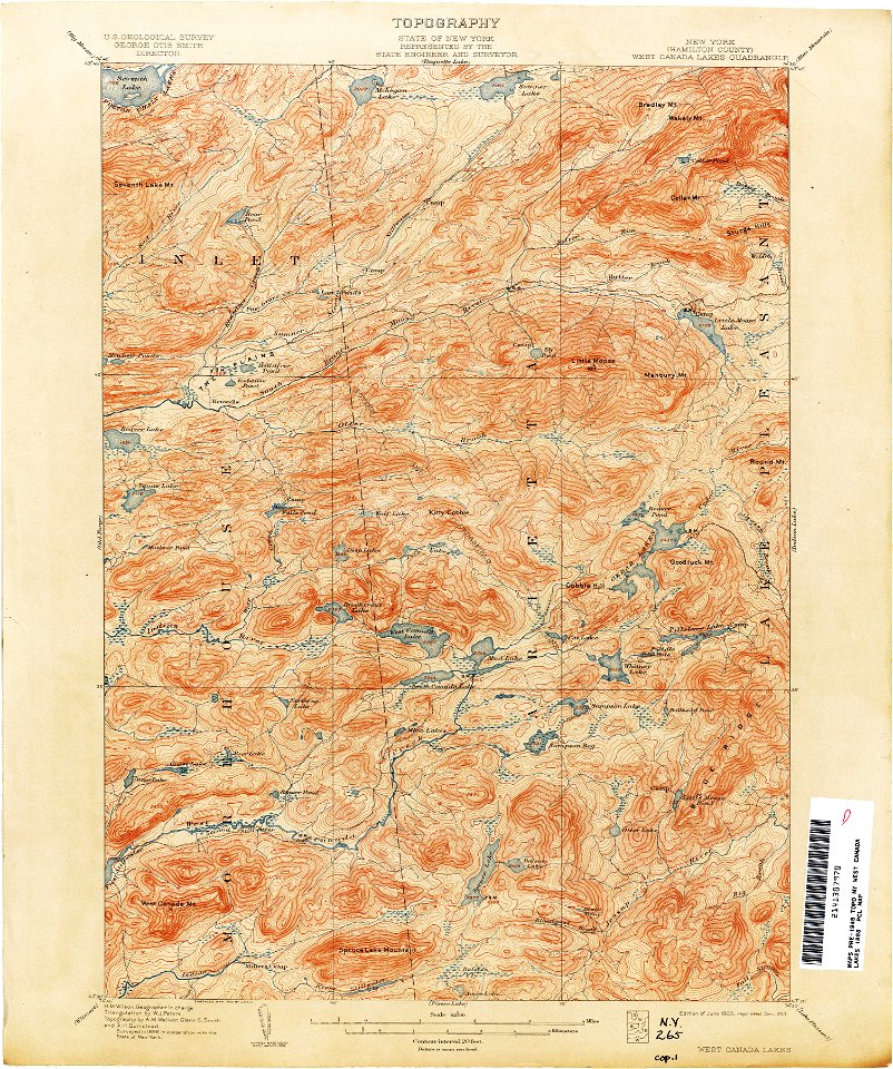
maps of the adirondack mountains
old maps of new york (state)
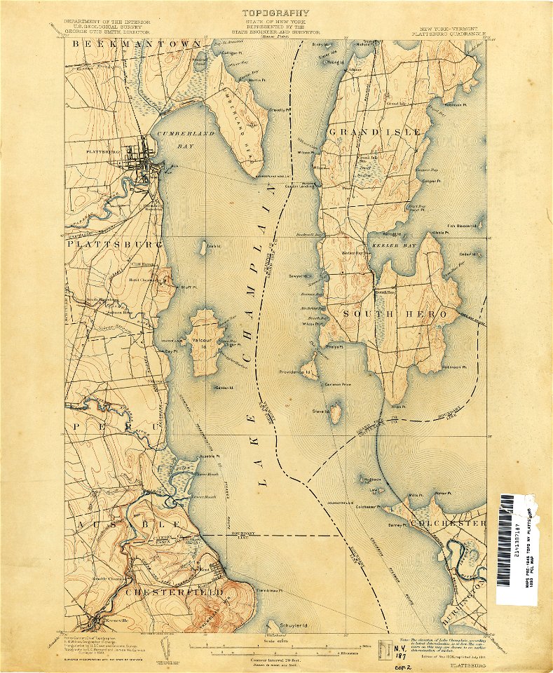
united states geological survey maps
old maps of new york (state)
united states geological survey maps
old maps of new york (state)
maps of the adirondack mountains
old maps of new york (state)
united states geological survey maps
old maps of new york (state)
united states geological survey maps
old maps of new york (state)
united states geological survey maps
old maps of new york (state)
united states geological survey maps
old maps of new york (state)
united states geological survey maps
old maps of new york (state)
united states geological survey maps
old maps of new york (state)
united states geological survey maps
old maps of new york (state)
united states geological survey maps
old maps of new york (state)
united states geological survey maps
old maps of new york (state)
united states geological survey maps
old maps of new york (state)
old maps of new york (state)
new york
united states geological survey maps
old maps of new york (state)
united states geological survey maps
old maps of new york (state)
united states geological survey maps
old maps of new york (state)
united states geological survey maps
old maps of new york (state)
united states geological survey maps
old maps of new york (state)
united states geological survey maps
old maps of new york (state)
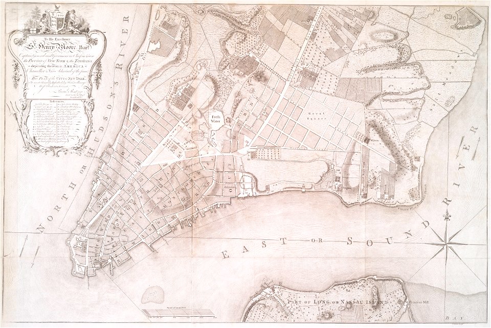
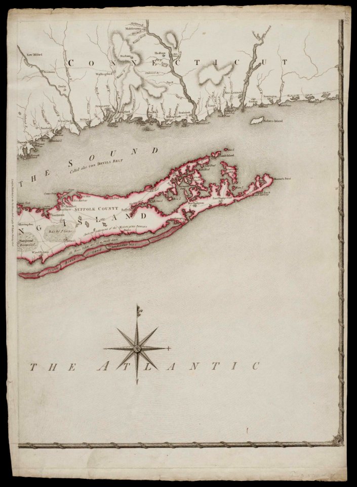
maps by claude joseph sauthier
old maps of new york (state)
united states geological survey maps
old maps of new york (state)
united states geological survey maps
old maps of new york (state)
united states geological survey maps
old maps of new york (state)
united states geological survey maps
old maps of new york (state)
united states geological survey maps
old maps of new york (state)
united states geological survey maps
old maps of new york (state)
maps of the adirondack mountains
old maps of new york (state)
maps by claude joseph sauthier
old maps of new york (state)
loon lake
new york
old maps of new york (state)
new york
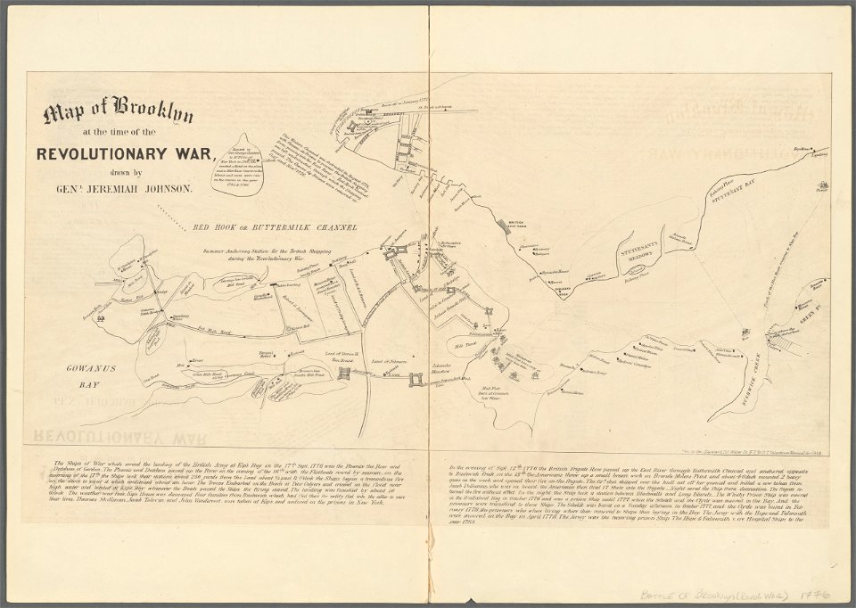
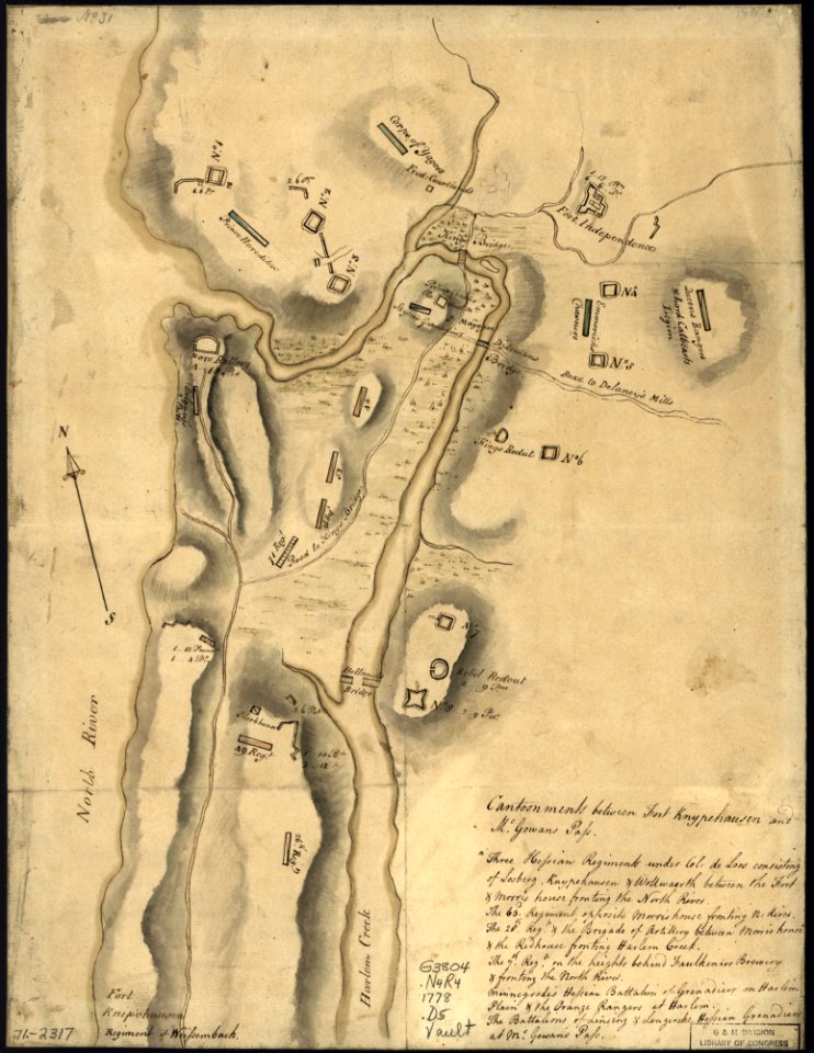
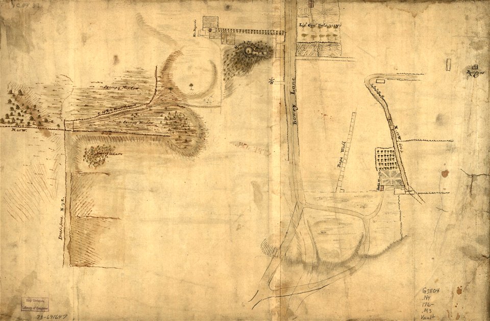
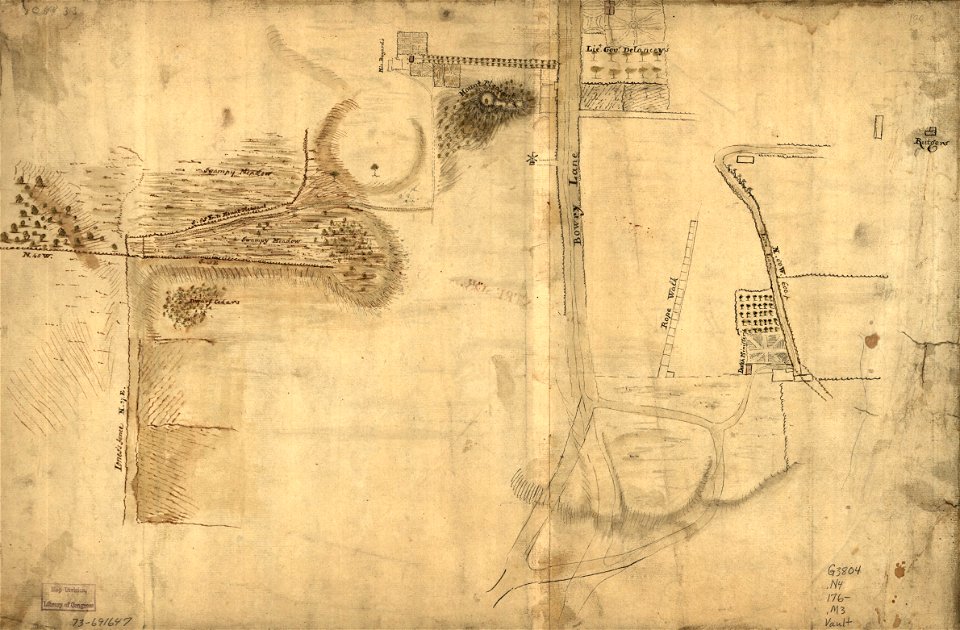
battle of long island
new york city
united states geological survey maps
old maps of new york (state)
maps in the library of congress
old maps of new york (state)
manhattan
bronx
manhattan
bronx
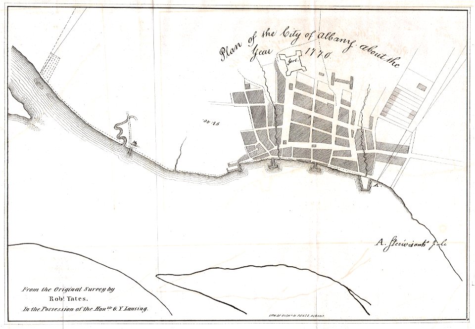
1770 maps
new york
old maps of new york (state)
new york
old maps of new york (state)
new york
old maps of manhattan
new york city
old maps of new york city
english-language maps
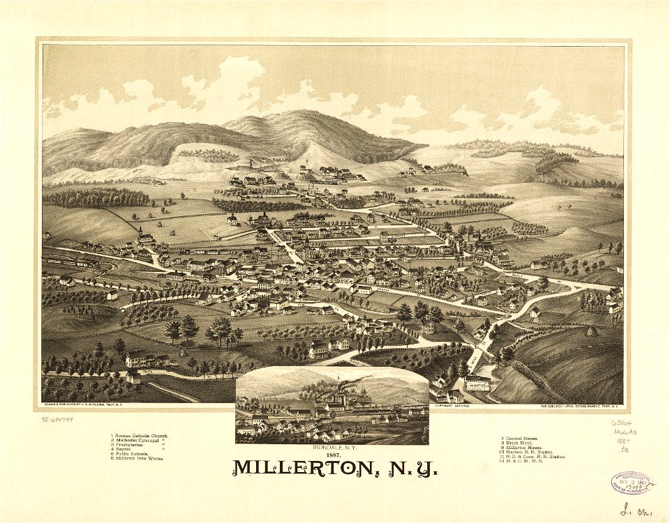
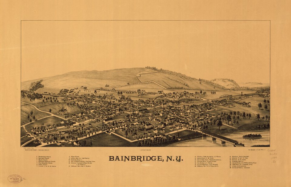
bainbridge
new york
erie county
new york
erie county
new york
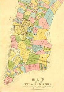
cartography of new york city
english-language maps
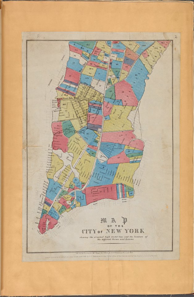
manual of the corporation of the city of new york (1870)
new york city
fires in new york (state)
new york city
new york
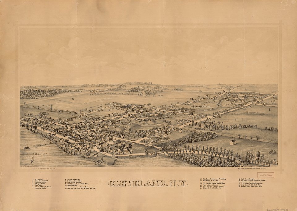
green
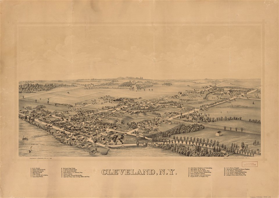
cleveland
new york
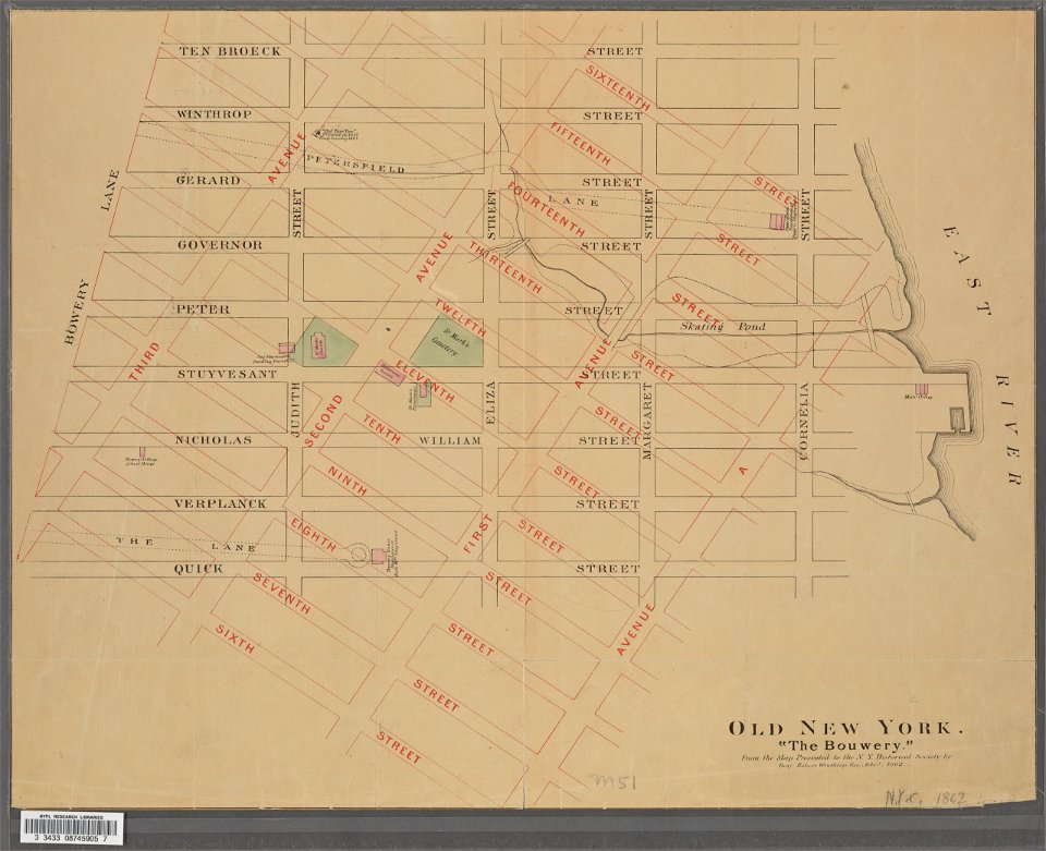
new york city
bowery
maps in the library of congress
old maps of new york (state)
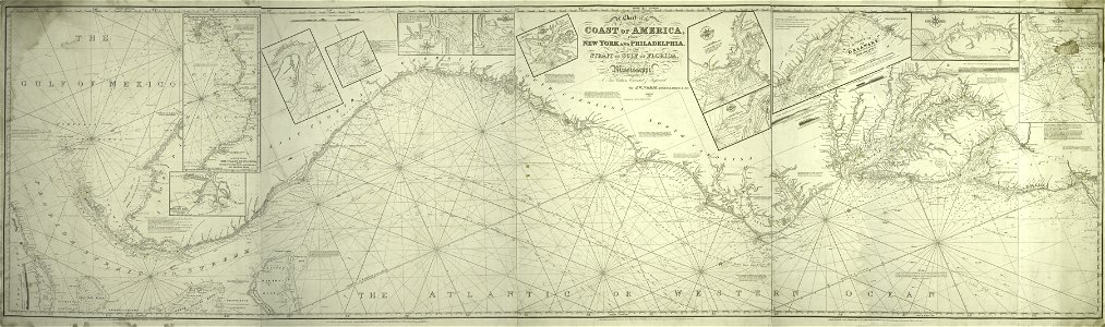
james cook (maps relating to)
old maps of newfoundland
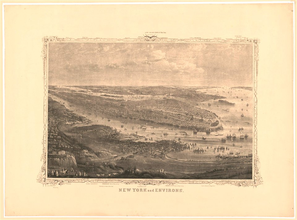
george hayward
new york city
maps in the library of congress
old maps of new york (state)
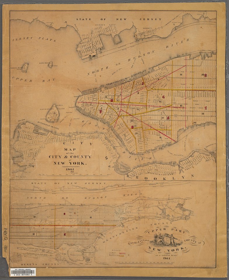
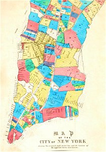
manual of the corporation of the city of new york (1861)
new york city
maps in the library of congress
old maps of new york (state)
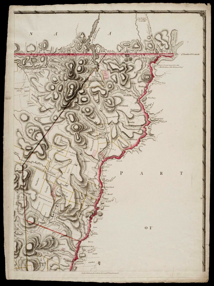
maps by claude joseph sauthier
old maps of new york (state)
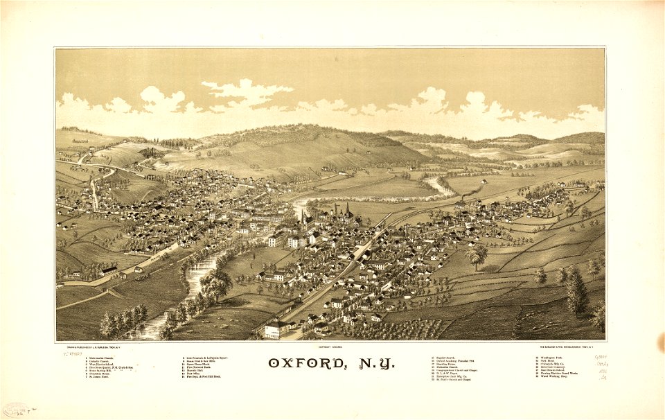
new york
oxford
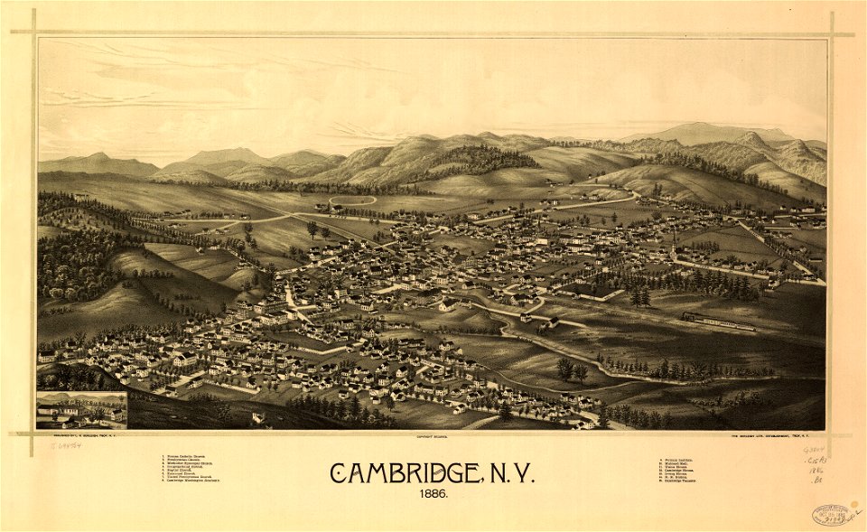
cambridge
new york
old maps of new york city
1865 maps
george hayward
new york city
old maps of new york city
1855 maps
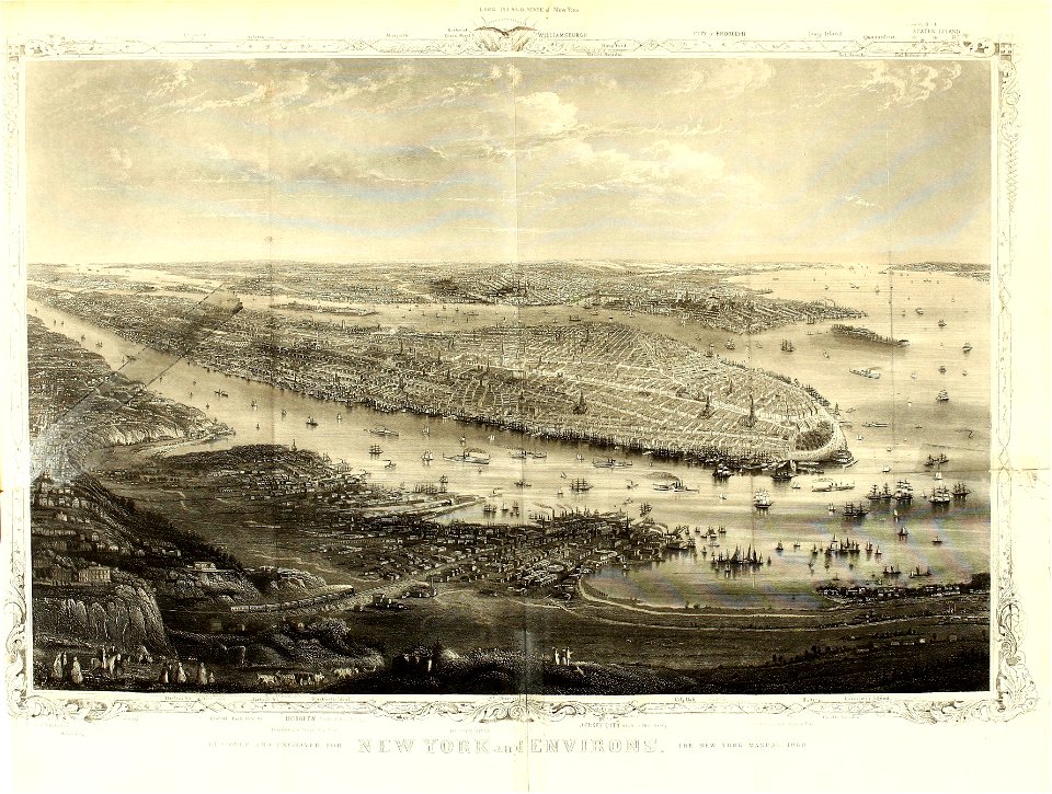
1867 engravings
new york city
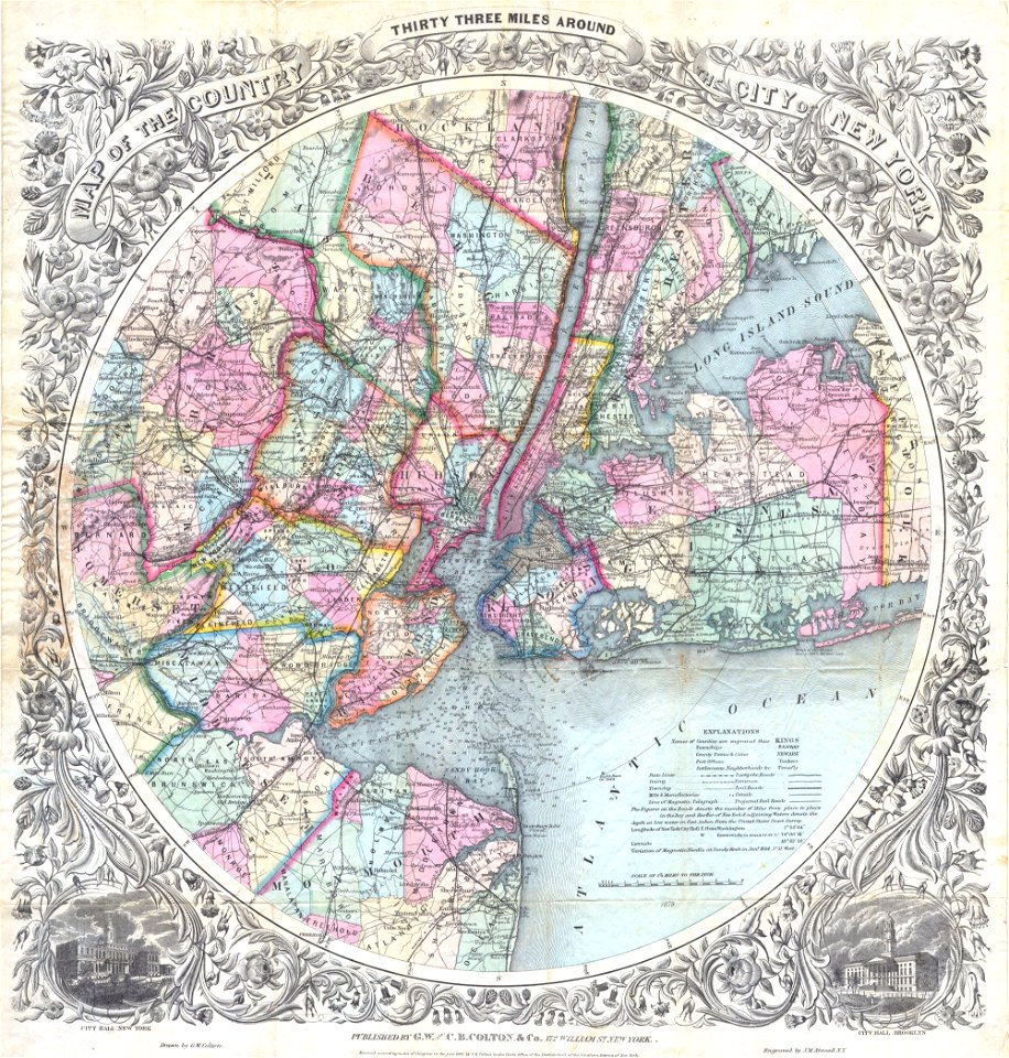
brooklyn borough hall
new york city hall
images from the new york public library
new york city
brooklyn borough hall
new york city hall
george hayward
new york city
george hayward
new york city
1867 engravings
new york city
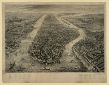
lower manhattan
new york city
george hayward
new york city
george hayward
new york city
old maps of new york (state)
maps in the library of congress
new york city
maps in the library of congress
new york city
images from the new york public library
george hayward
maps in the library of congress
maps of the hudson
maps in the library of congress
old maps of new york (state)
old maps of new york (state)
old maps of new york (state)
new jersey
hoboken
new jersey
hoboken
map images supported by wikimedia uk
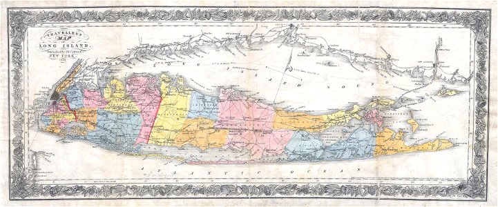
1856 maps
images from the new york public library
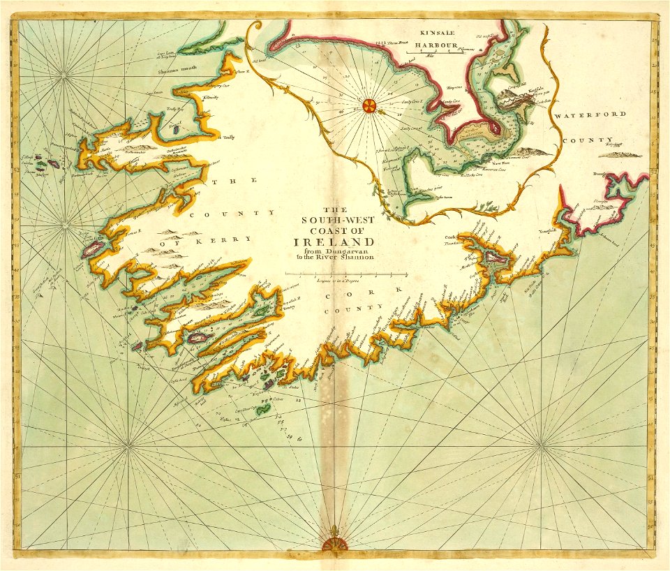
old maps of ireland
1780 maps of pennsylvania
1780 maps of new jersey
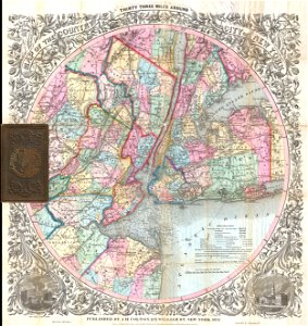
maps by joseph hutchins colton
1882 maps
new jersey
hoboken
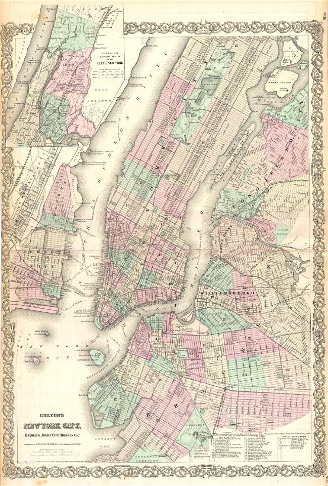
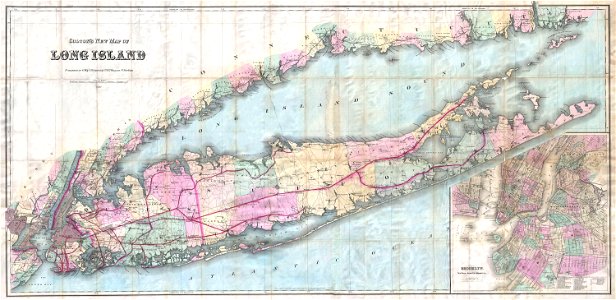
maps by joseph hutchins colton
1857 maps
images from the new york public library
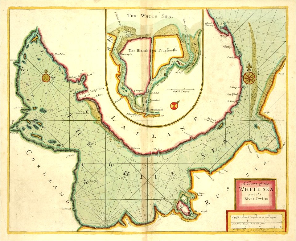
old maps of the tsardom of russia
maps by joseph hutchins colton
1880 maps of new york (state)
1 - 100 of 268
Next page
/ 3