Log in
All resources
Create a design
2,030 Free Artworks of Maps In Art
vintage maps
old map
world map
poster
vintage
antique
maps antique
vintage poster
atlas
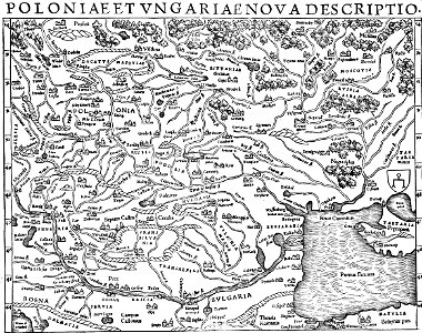
dutch-language maps
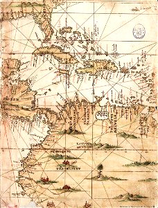
third voyage of willem barentsz
history of dutch sea fisheries
third voyage of willem barentsz
history of dutch sea fisheries
third voyage of willem barentsz
16th-century maps of the arctic
third voyage of willem barentsz
16th-century maps of the arctic
overwintering on nova zembla by willem barentsz, 1596-1597
maps in the rijksmuseum amsterdam
itinerario (jan huygen van linschoten)
latin-language maps
works after map of amsterdam, 1544
ships on maps
overwintering on nova zembla by willem barentsz, 1596-1597
maps in the rijksmuseum amsterdam
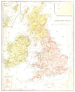
old county maps of lancashire
copper engravings
paintings in the musée des arts décoratifs
paintings by pierre-antoine baudouin
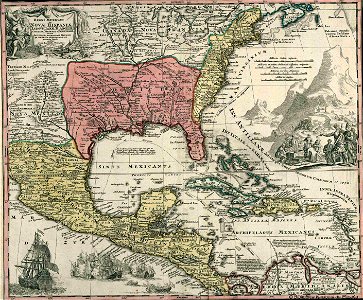
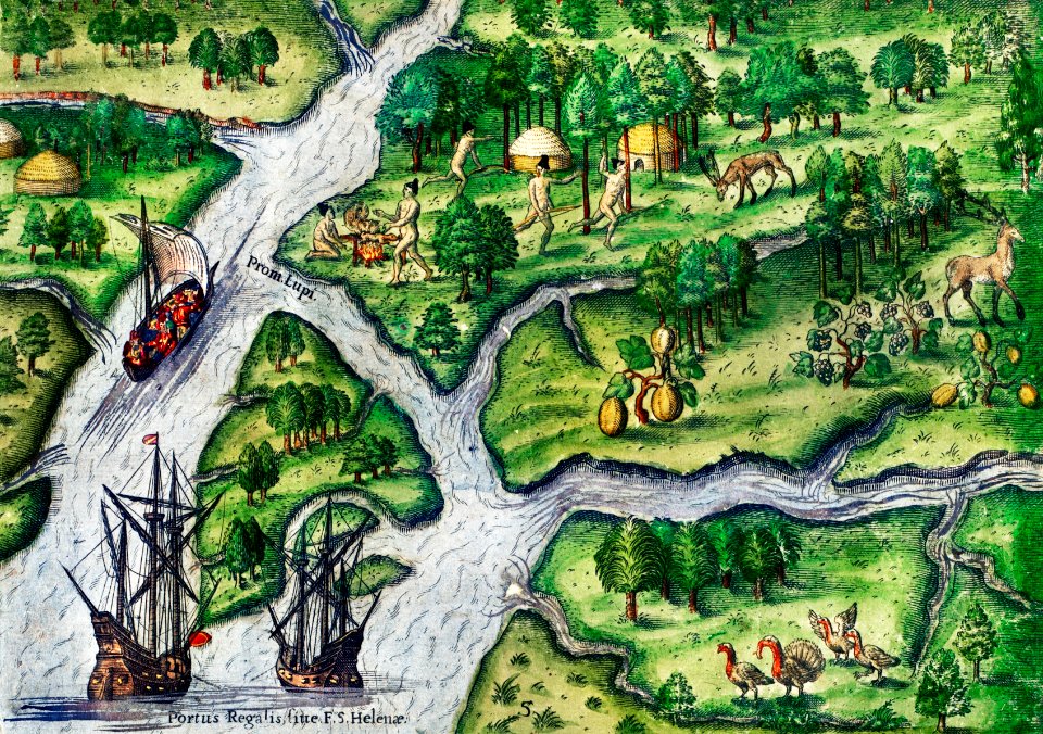
the generall historie of virginia (john smith)
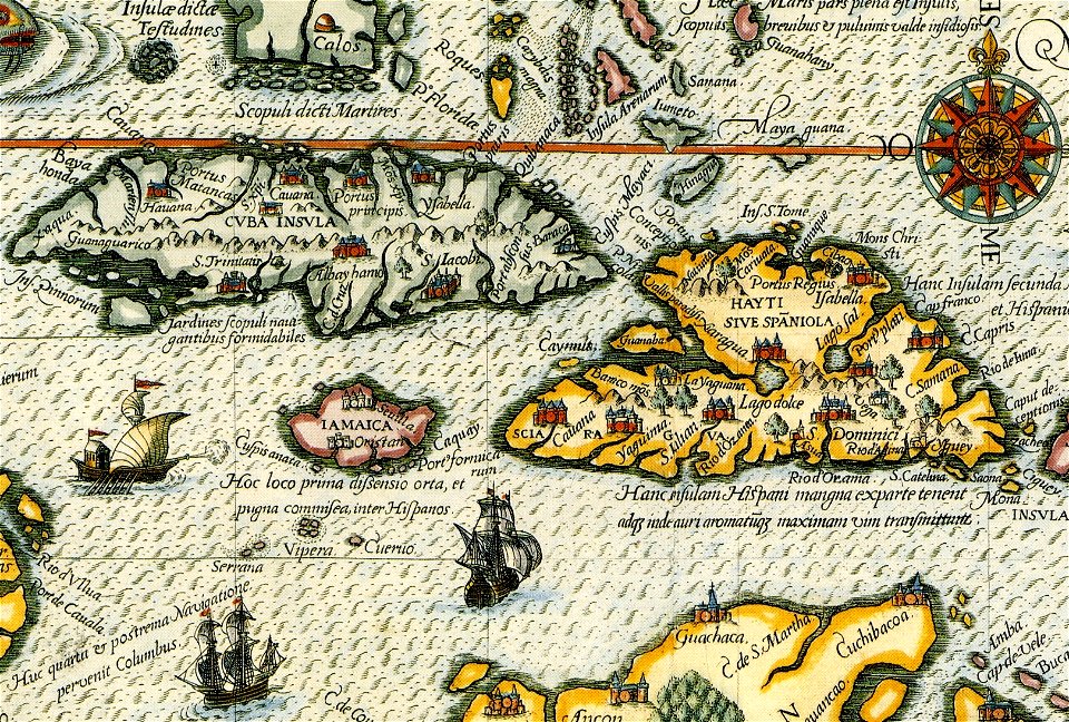
17th-century maps of bermuda
european interpretation of islamic art
old maps of baghdad
james monroe in art
clyde osmer deland
james william edmund doyle
owen bailey
old maps of spitsbergen
old maps of the arctic
portrait paintings in the kimbell art museum
portrait paintings by louis-léopold boilly
portrait paintings by maurice quentin de la tour (french royalty)
rococo
portrait paintings by élisabeth vigée-lebrun (italian royalty)
portraits of children by élisabeth vigée-lebrun
józef oleszkiewicz
classicism
paintings by joseph dorffmeister in the kunsthistorisches museum
portrait paintings of ferdinand iii, grand duke of tuscany
maps of paris from the norman b. leventhal map center
siege of paris, 1870-1871
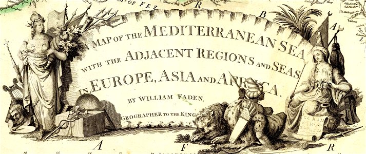
carta hydrographica y chorographica de las yslas filipinas
baroque painting
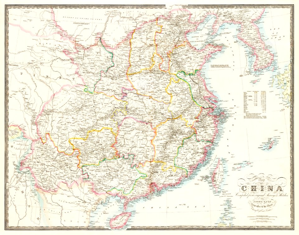
19th-century maps of tibet
1850s maps of china
19th-century satirical maps
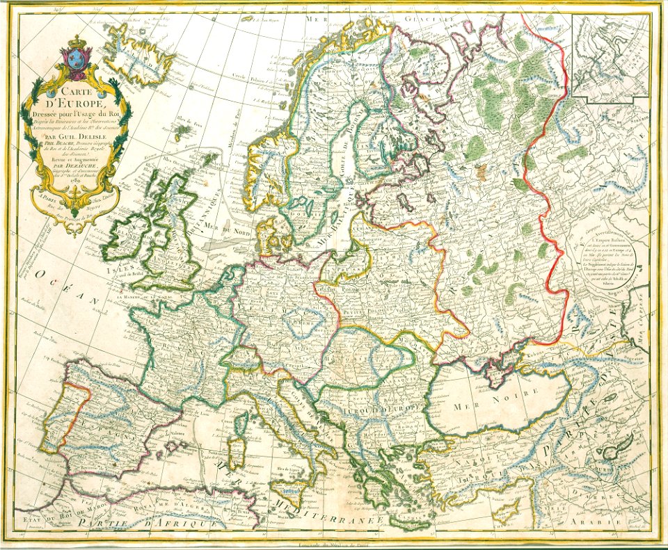
1899 maps of europe
antique
maps
antique
maps
globe
maps
theodor de bry
amazon
illustration
maps
printing
maps
vintage
maps
cartography
maps
earth
maps
globe
maps
windmills in art
bridge of arts
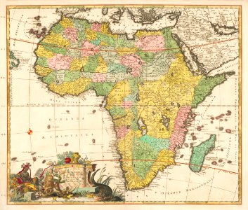
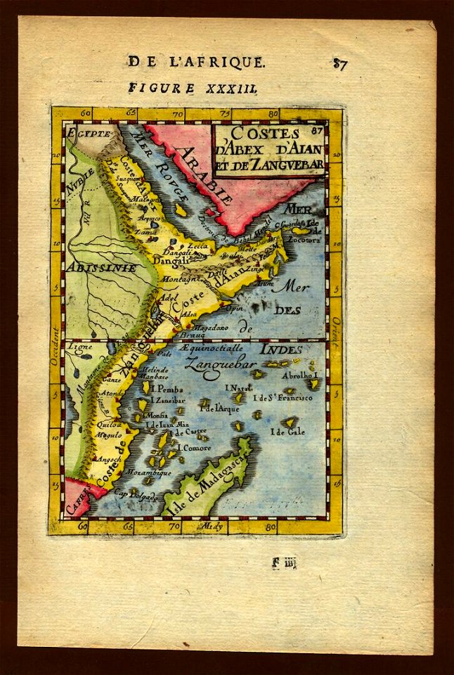
africa
maps
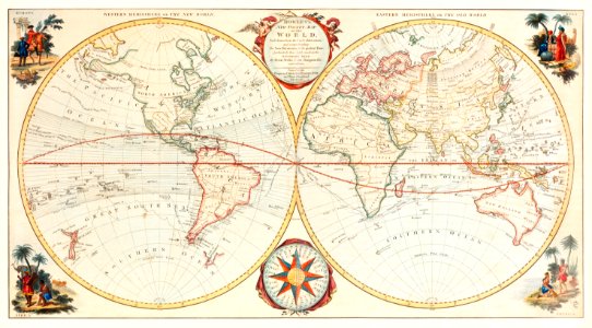
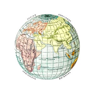
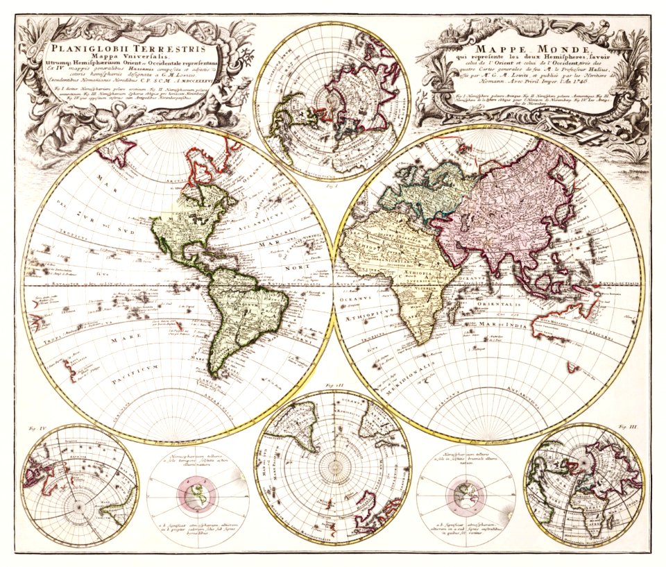
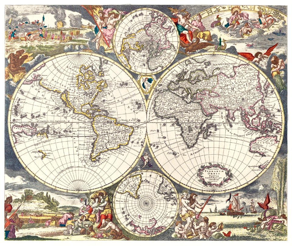
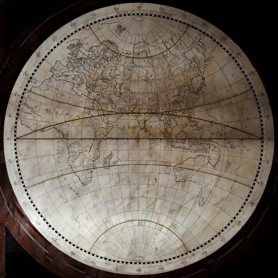
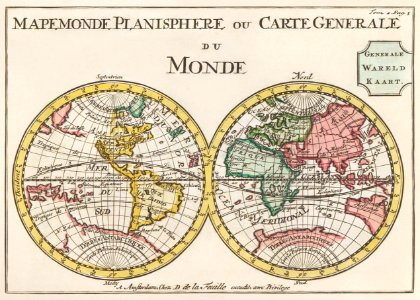
old maps of earth's hemispheres
western hemisphere
maps
art
maps in the library of congress
illinois
ships on maps
spain
illustration
maps
drawings by john robert cozens in the yale center for british art
old maps of lazio
paintings in the art gallery of south australia
old map
earth
maps
color engravings
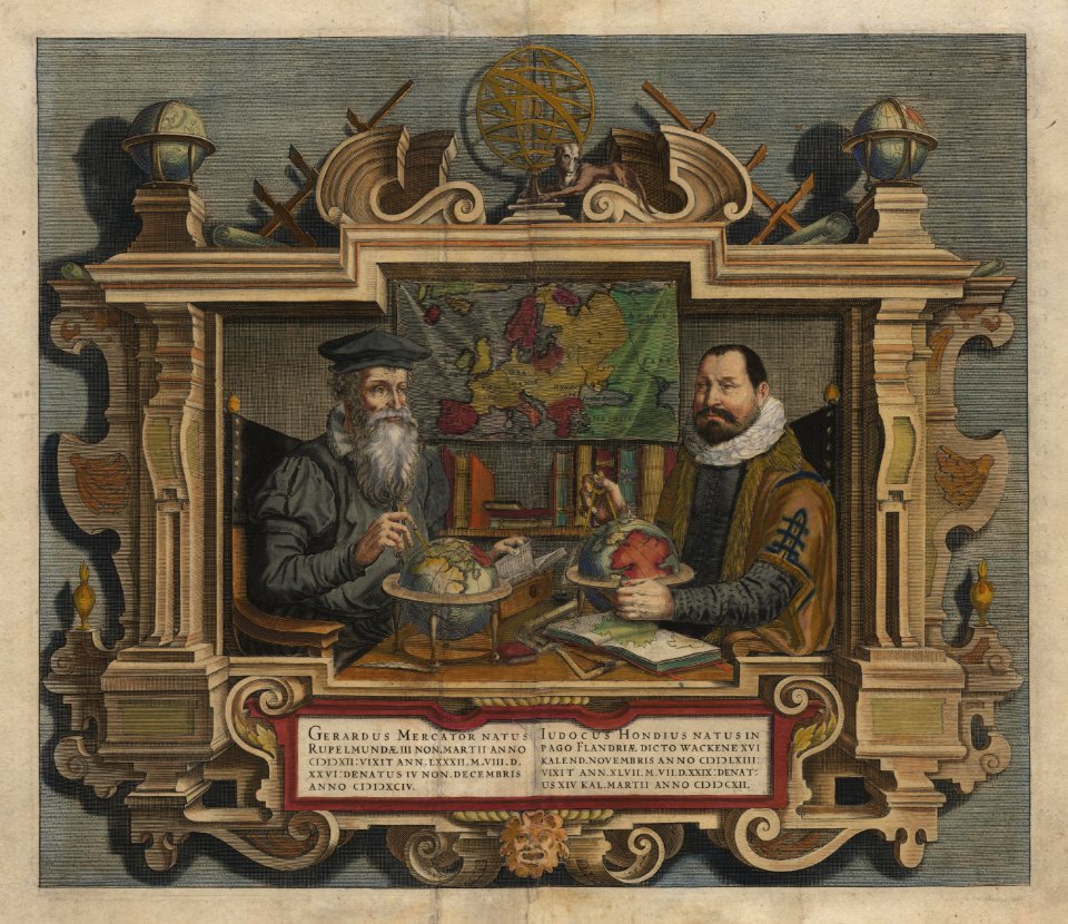
jodocus hondius
illustration
maps
pointing in art
theodor de bry
old maps of europe
1789 maps
illustration
maps
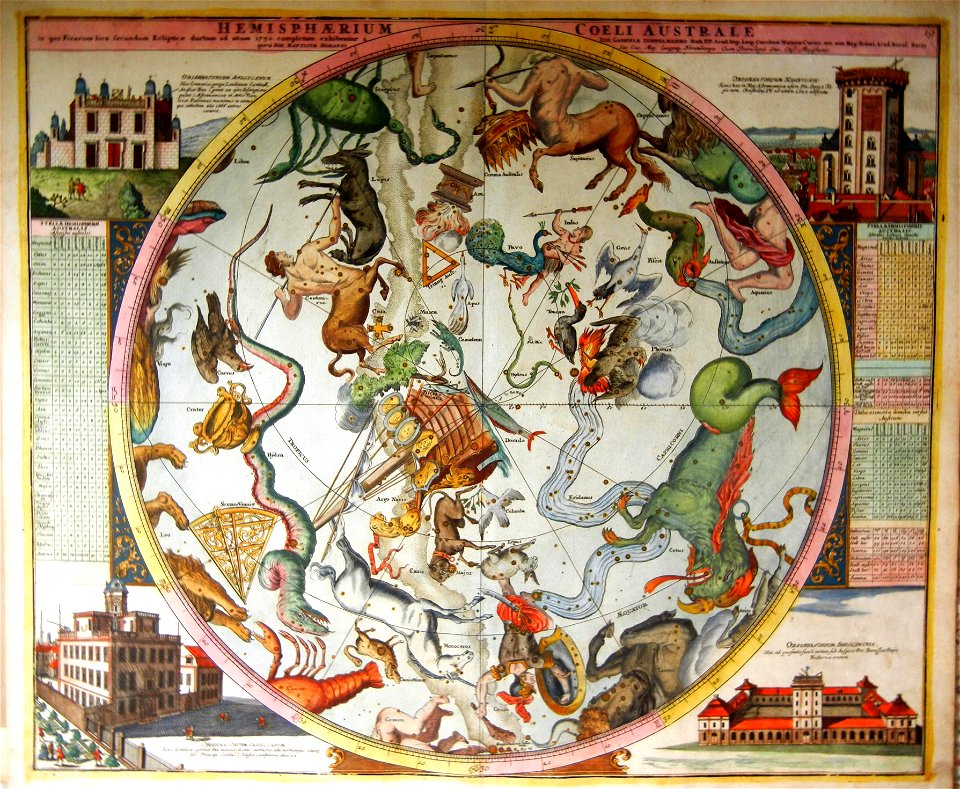
old celestial maps
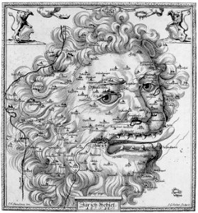
maps with figures
maps of kamianets-podilskyi
nicolas de fer
illustration
maps
illustration
maps
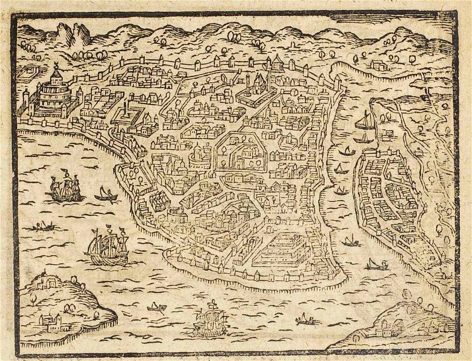
old maps of istanbul
ships on maps
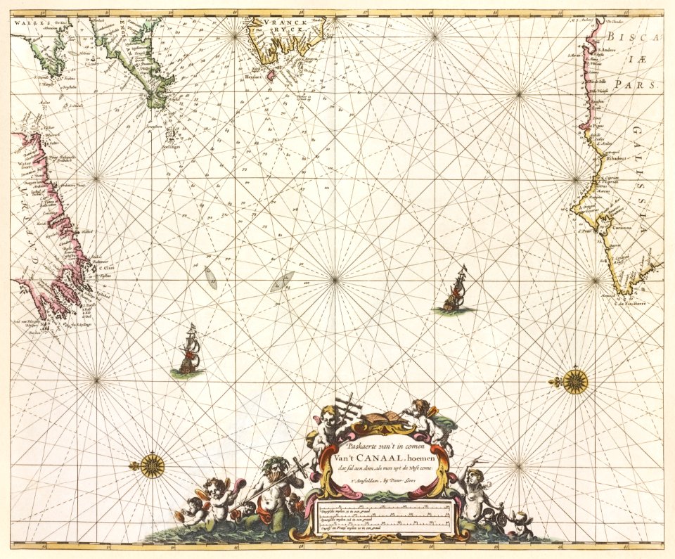
maps of the west-indische compagnie
1644
old maps of colombia
theodor de bry
1740s maps of the world
burgerzaal map
eagles in art
1561 maps
old maps of thailand
old maps of vietnam
landscape
maps
illustration
maps
old maps of guatemala
old maps of colombia
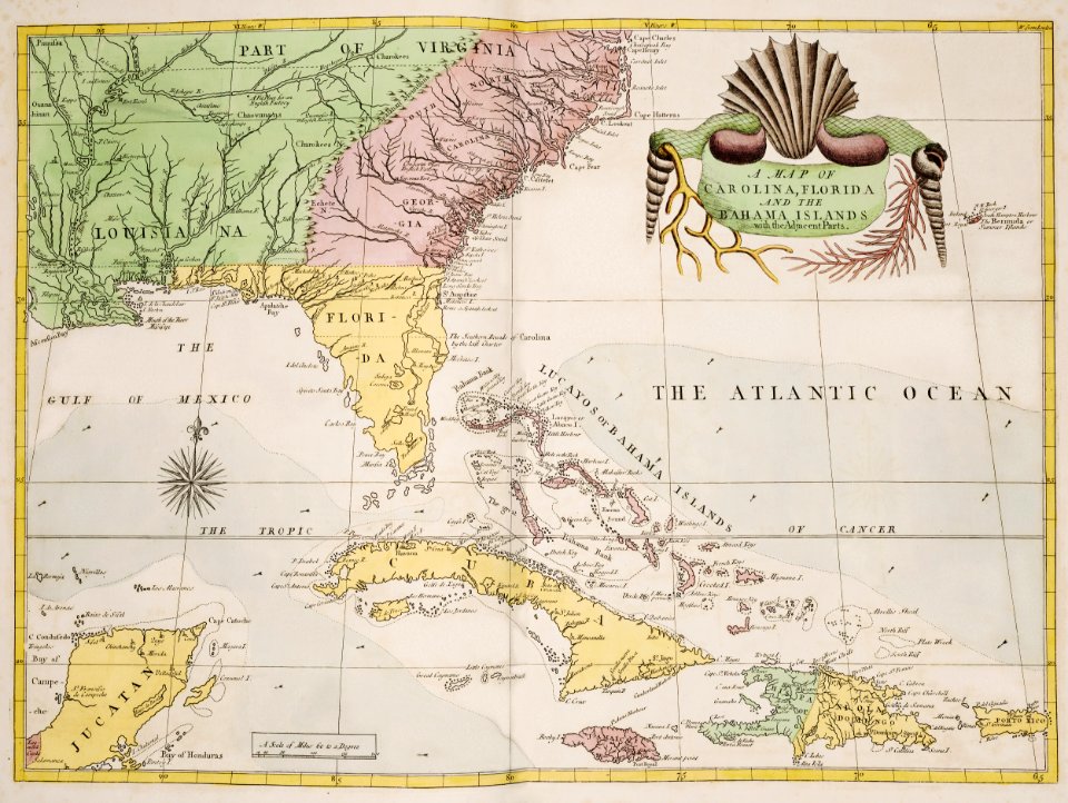
18th-century maps of puerto rico
18th-century maps of cuba
illustration
maps
world map
maps
medieval
maps
vintage
maps
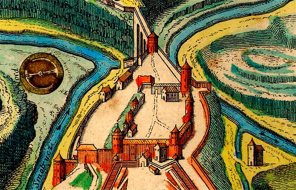
rohatyn
halych
description de l'universe
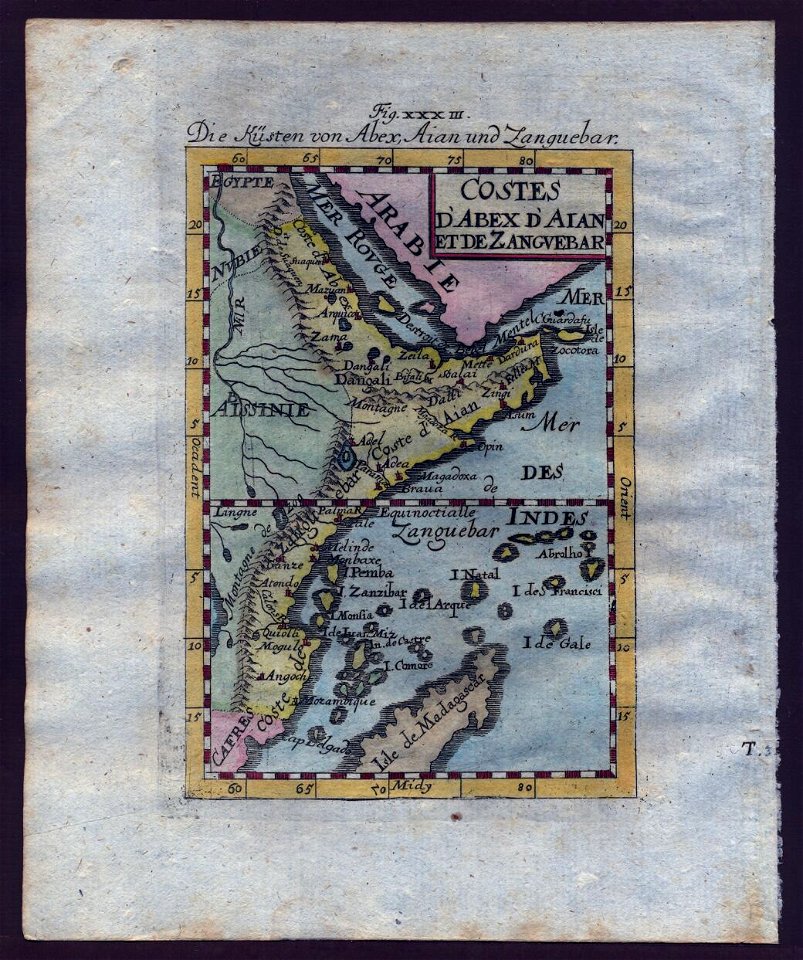
zanzibar in art
description de l'universe
zanzibar in art
vintage
maps
ocean
maps
landscape
maps
vintage
maps
illustration
maps
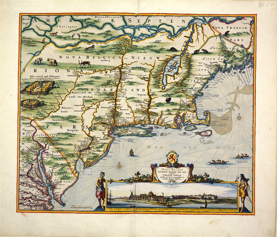
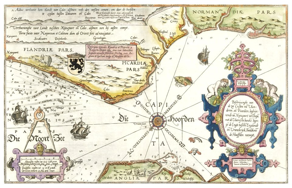
maps by willem and johannes blaeu
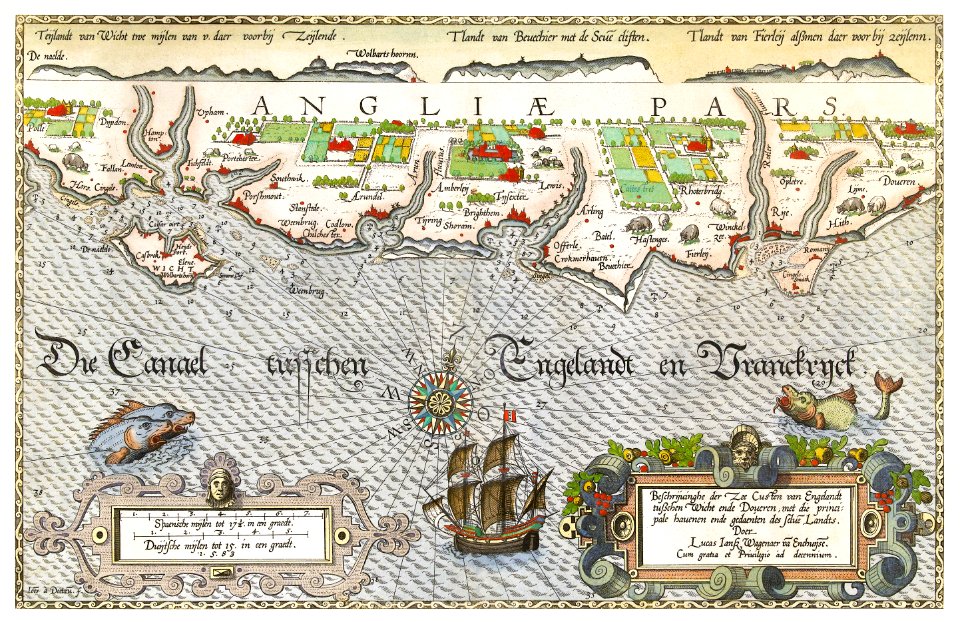
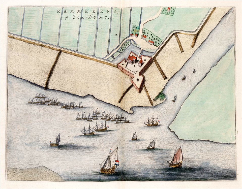
old maps of zeeland
cartography
maps
earth
maps
17th-century engravings
faces of men in art
17th-century engravings
frans post
david rumsey historical map collection
fur garments in art
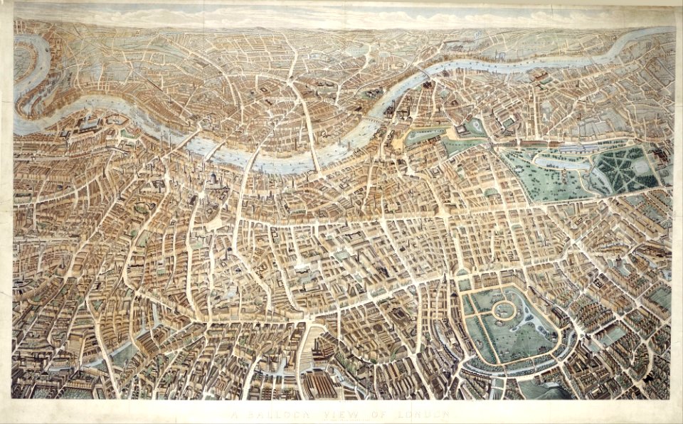
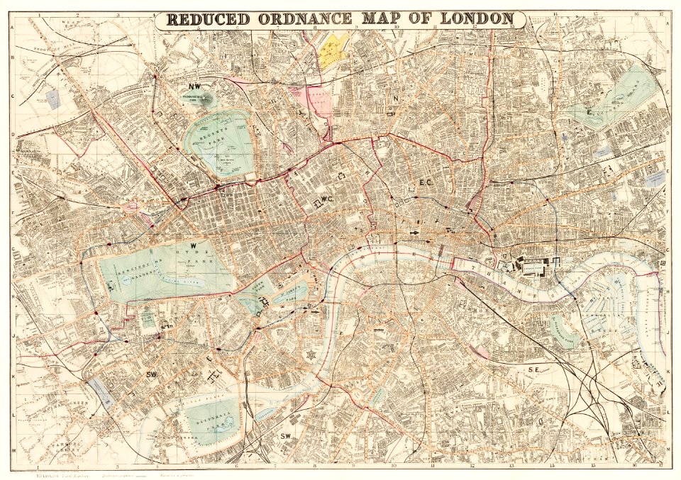
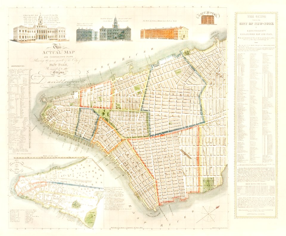
old maps of london
pictorial maps
copper engraving
beavers in art
maps by willem and johannes blaeu
wijnhaven, the hague
old maps of baden-württemberg
friedrichshafen in art
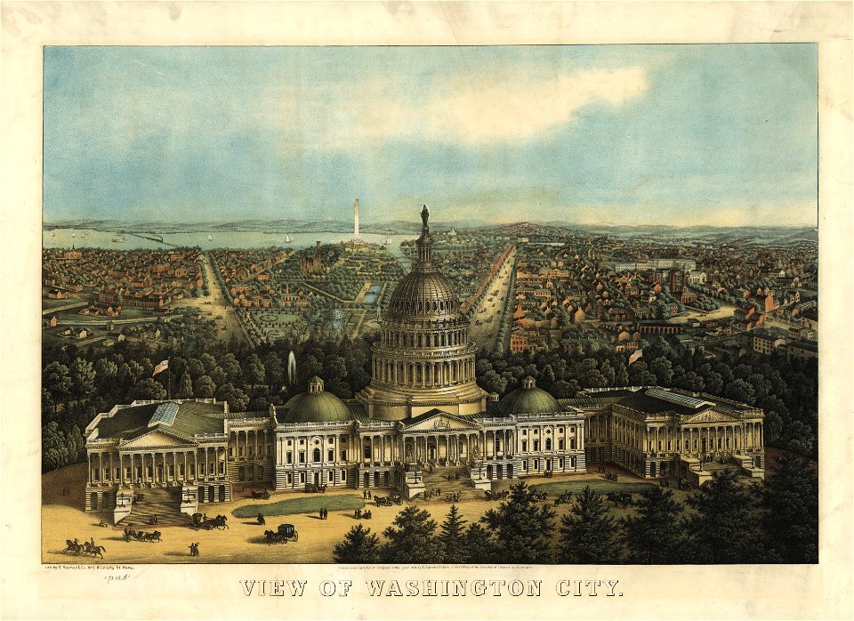
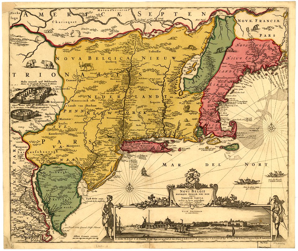
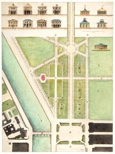
maps in the library of congress
united states capitol in art
maps in the library of congress
united states capitol in art
maps in the library of congress
sailing ships of spain
copper engraving
beavers in art
camels in art
1590 maps
brazil
maps
vilnius in art
1581
yellow
maps
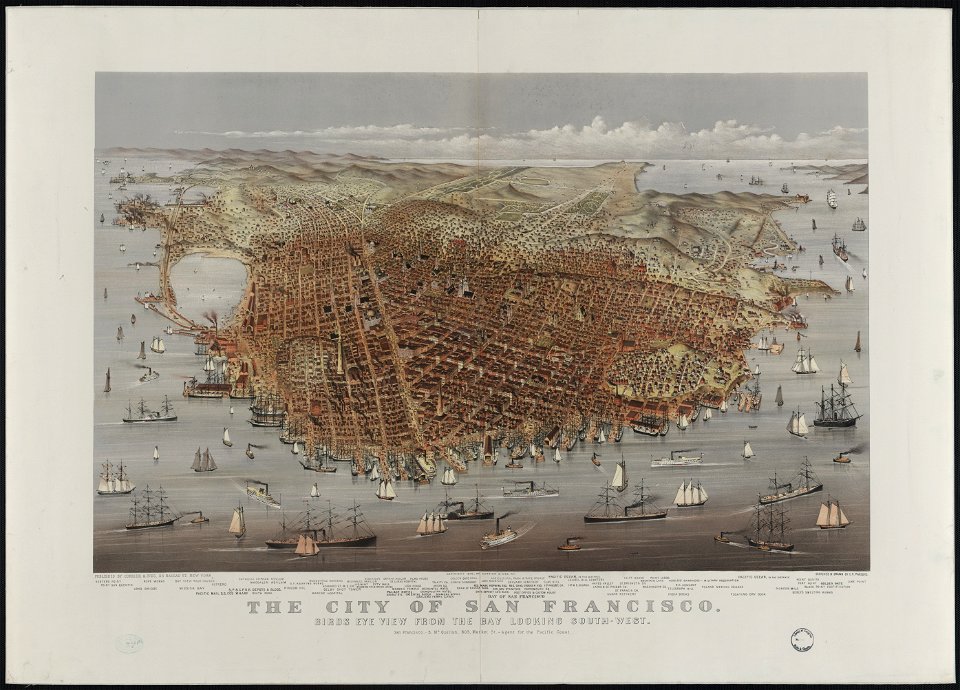
bird's eye view maps of california
san francisco in art
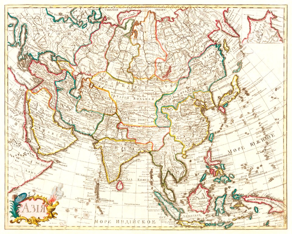
old maps of asia
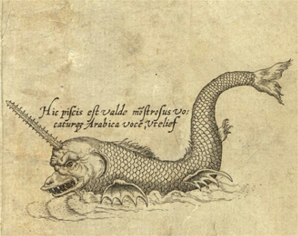
sea monster
world
maps
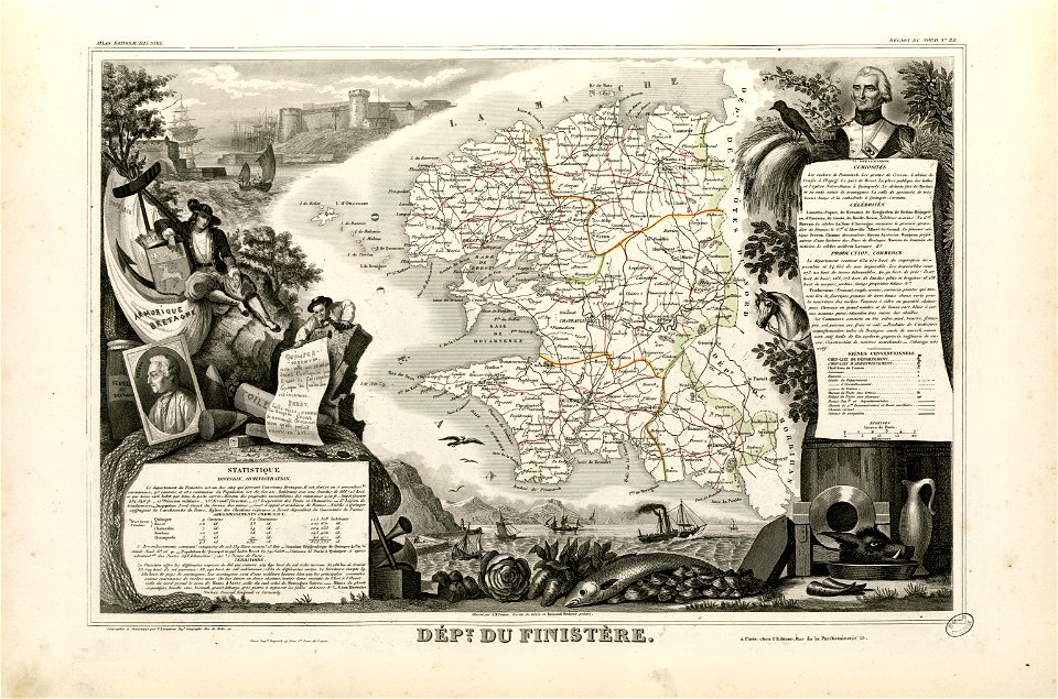
coats of arms of cities in finistère
axes in art
historical images of lüneburg
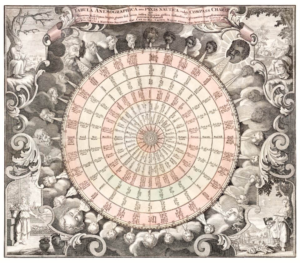
maps by matthäus seutter
itinerario (jan huygen van linschoten)
latin-language maps
maps
land
1 - 100 of 2,030
Next page
/ 21


![A literary party at Sir Joshua Reynolds', James William Edmund Doyle, 1851[1]](https://cdn.creazilla.com/illustrations/10001566600/a-literary-party-at-sir-joshua-reynolds-james-william-edmund-doyle-18511.jpg)


![Bankoku Jinbutsu no Dzu [Picture of the World and its People] (1825) by Imakajiyamachi Eijudo.](https://cdn.creazilla.com/illustrations/1953419/bankoku-jinbutsu-no-dzu-picture-of-the-world-and-its-people-1825-by-imakajiyamac-md.jpeg)