Log in
All resources
Create a design
962 Free Artworks of Maps America
maps in the library of congress
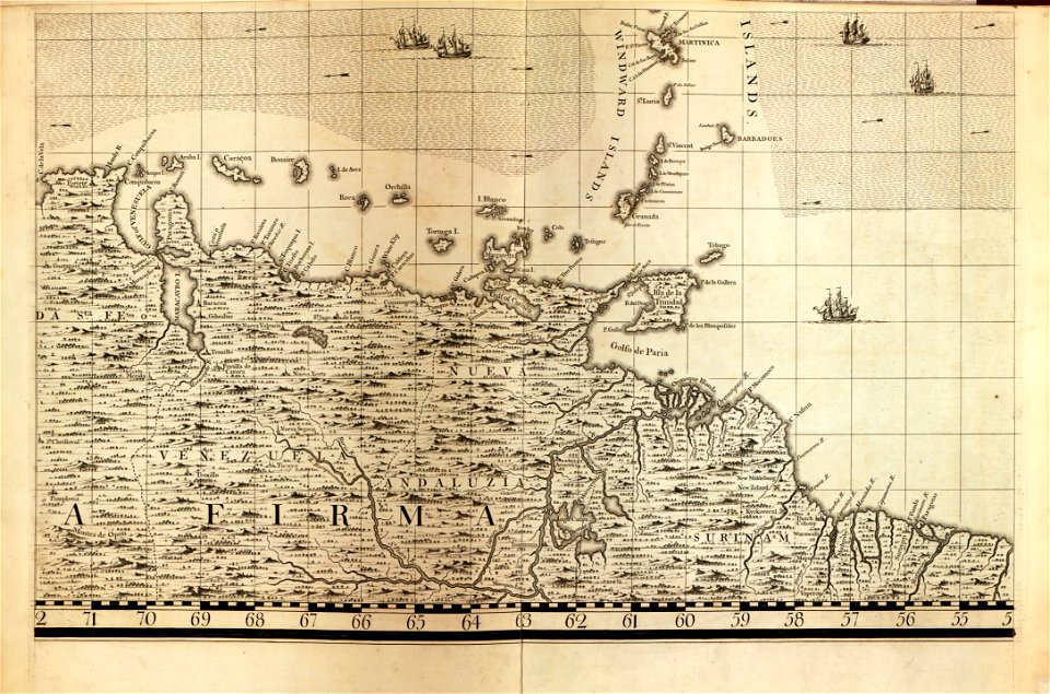
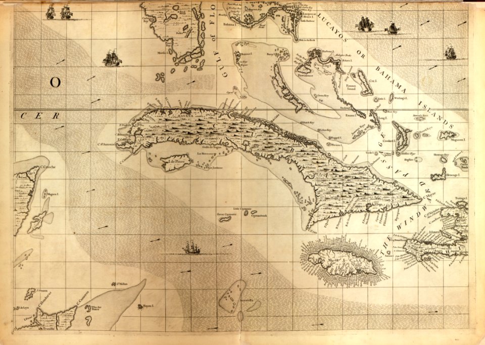
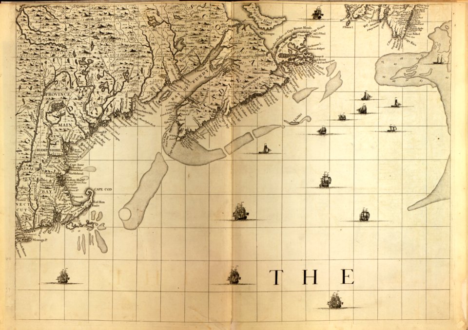
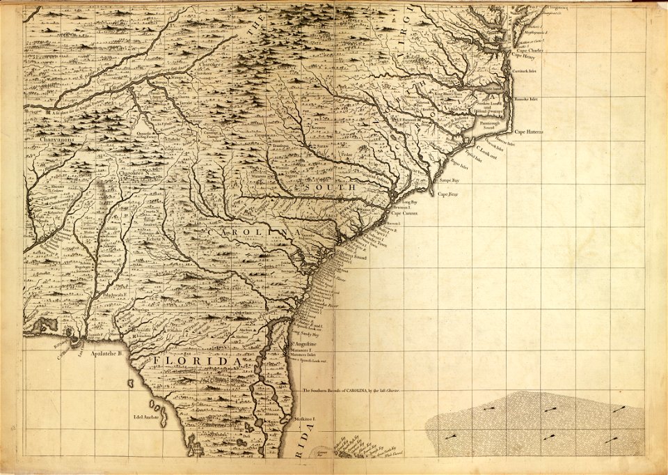
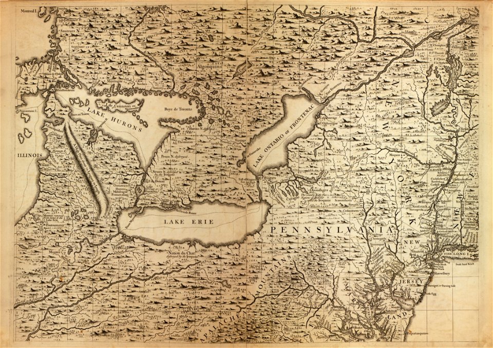
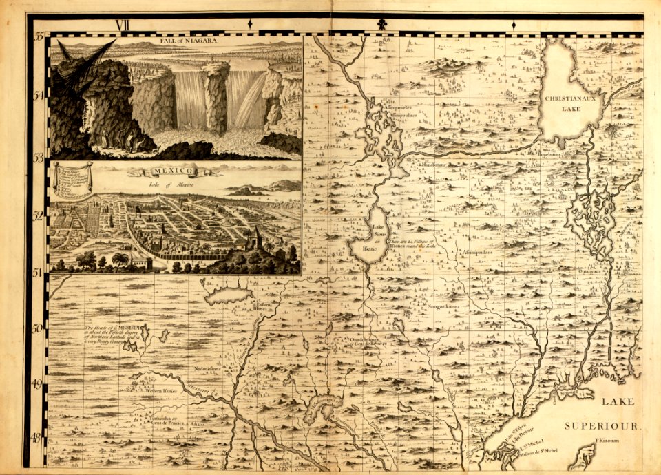
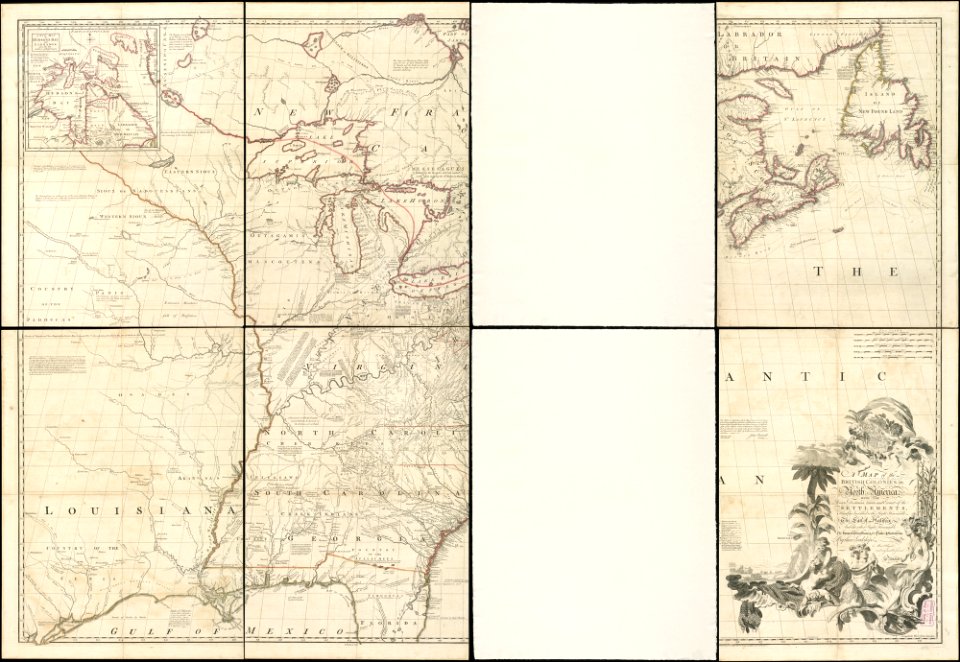
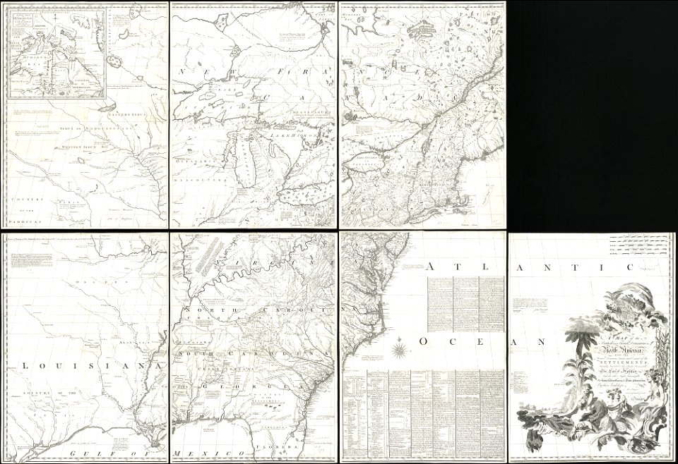
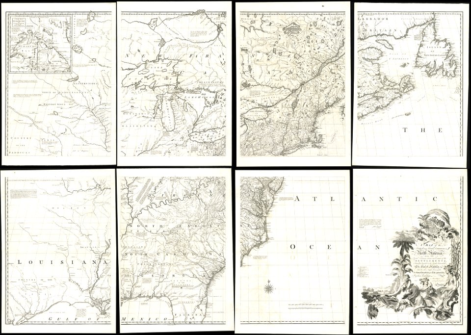
a map of the british empire in america with the french and spanish settlements adjacent thereto
vintage maps
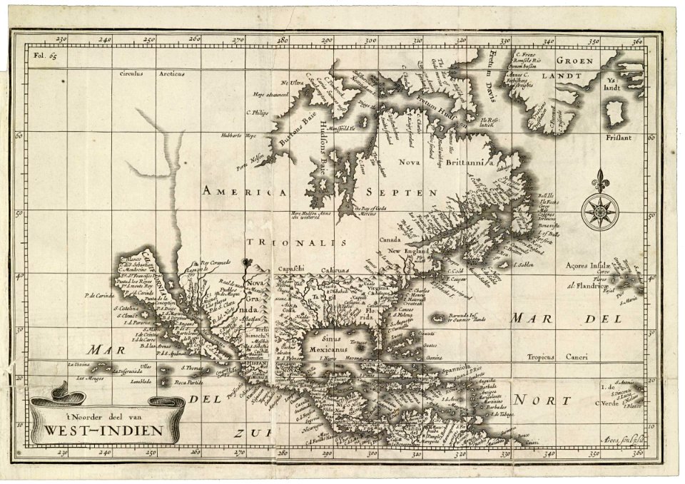
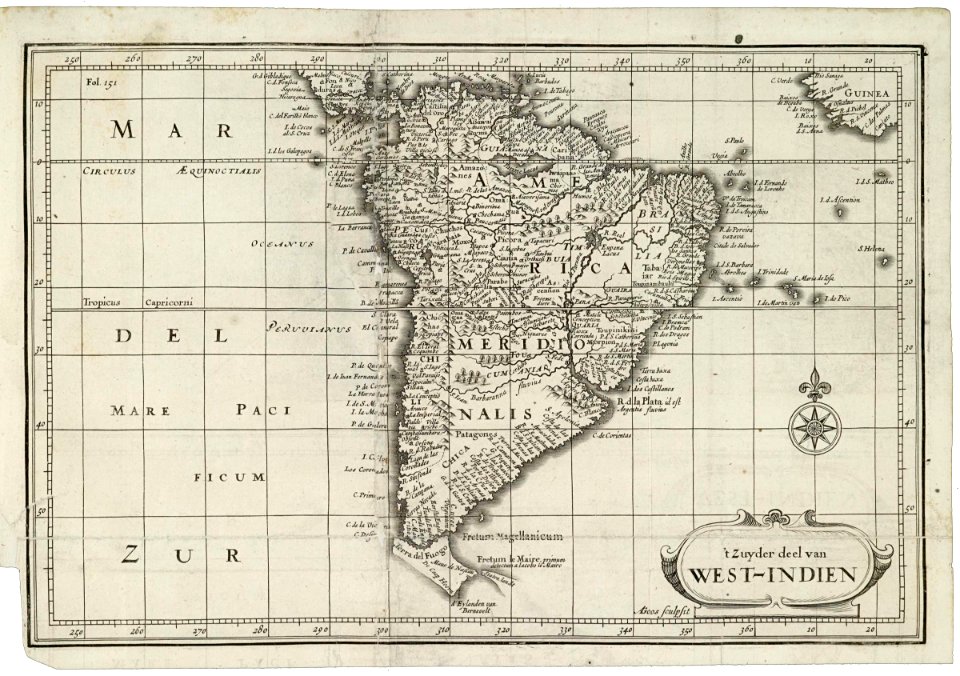
maps of the west-indische compagnie
1855 maps
world map
old map
1814 maps
latin-language maps
maps by john thomson
maps in the library of congress
maps by jodocus hondius
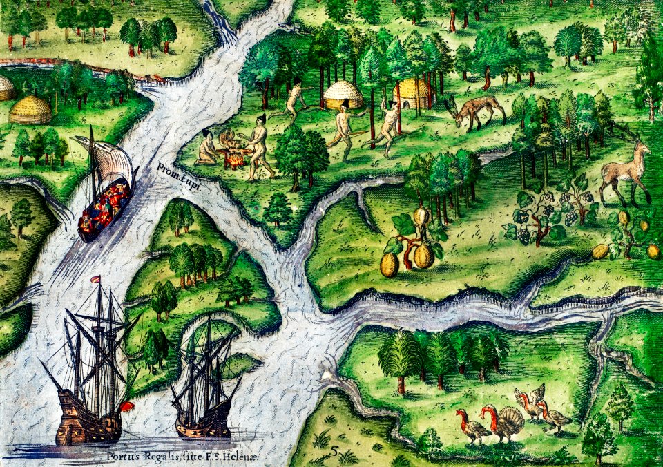
the discovery of guiana
theodor de bry
maps of del norte county, california
1866 maps of california
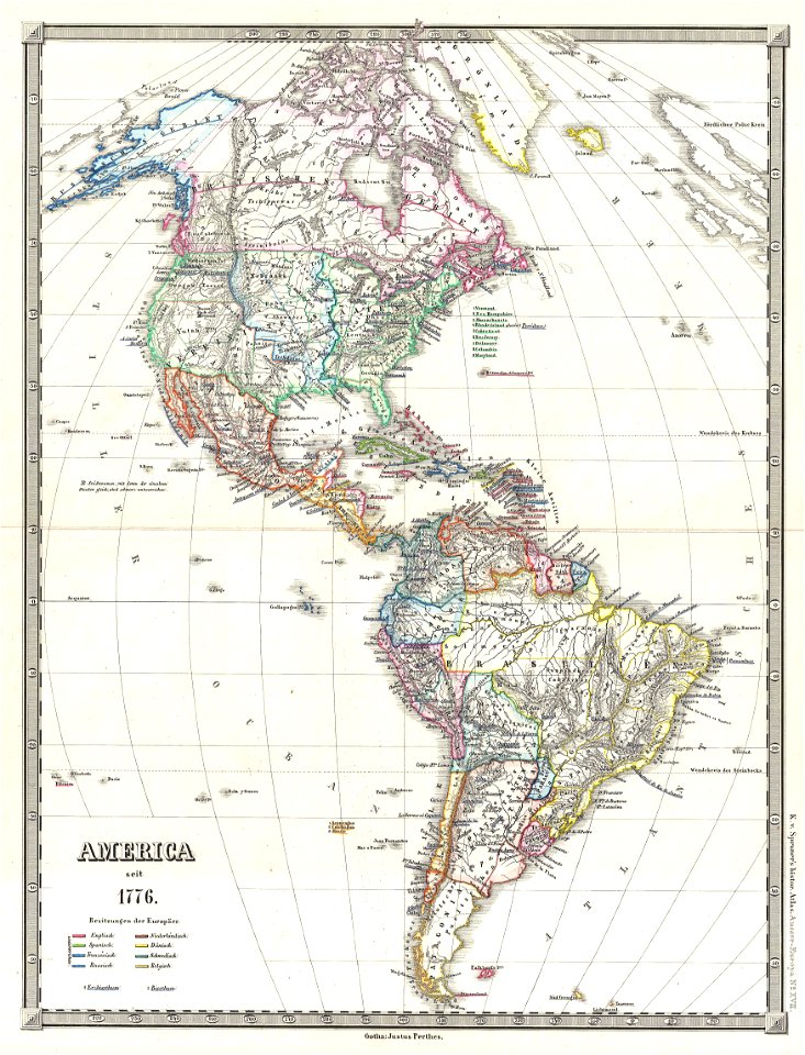
19th-century maps of the americas
english-language maps
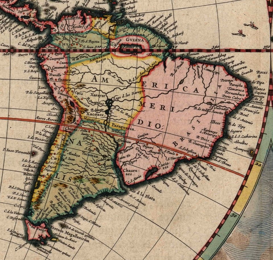
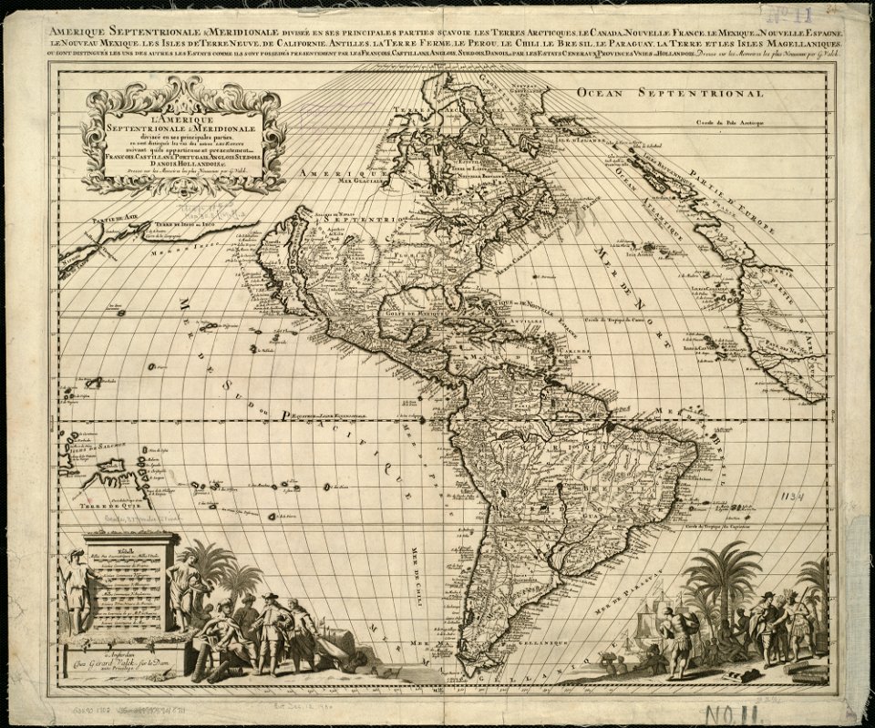
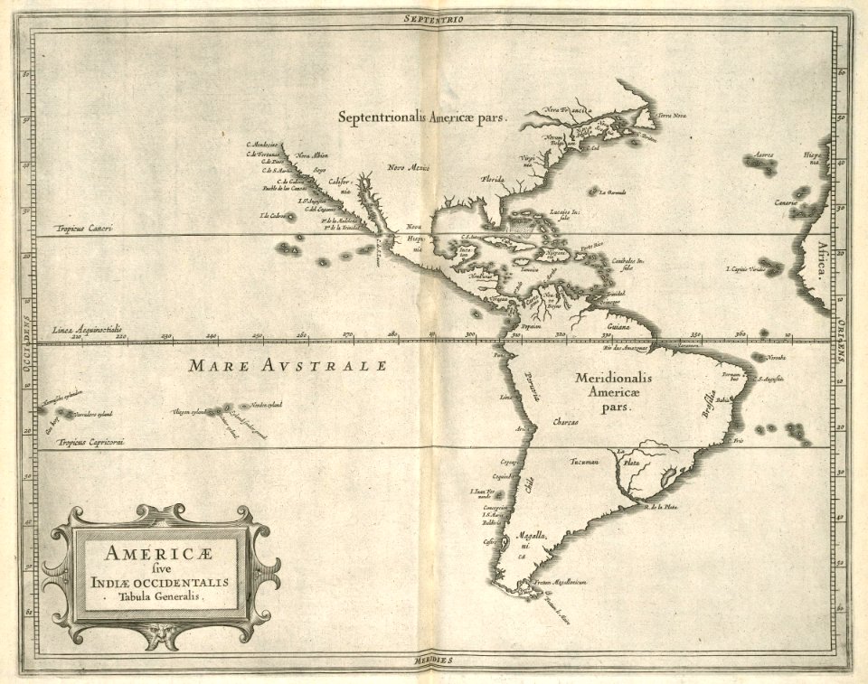
17th-century maps of south america
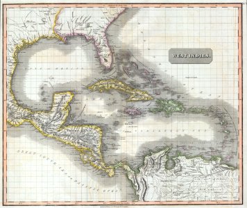
old maps of panama
18th-century maps of the americas
maps by homannsche erben
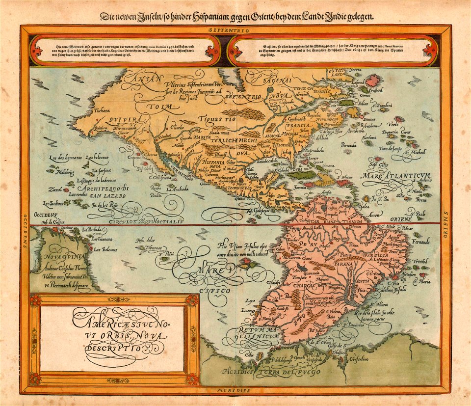
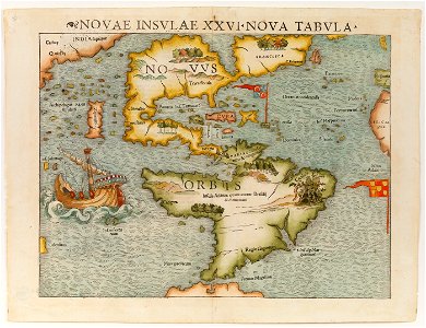
16th-century maps of south america
1596 maps
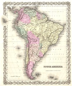
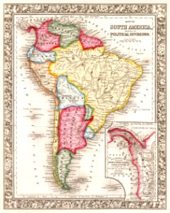
1850s maps of south america
english-language maps
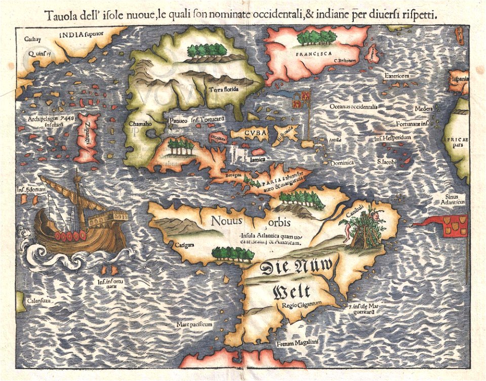
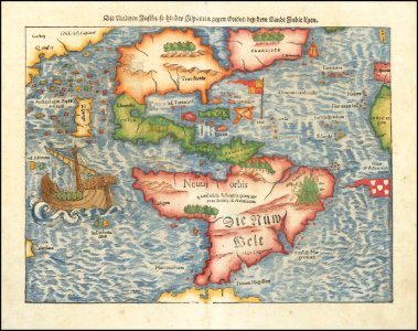
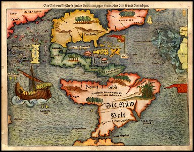
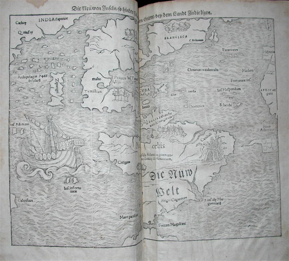
maps by sebastian münster
old maps of the americas
16th-century maps of the americas
maps by sebastian münster
maps by sebastian münster
1561 maps
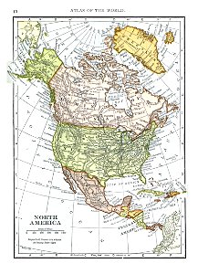
1909 maps of north america
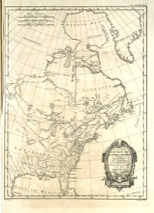
old maps of north america
16th-century maps of the americas
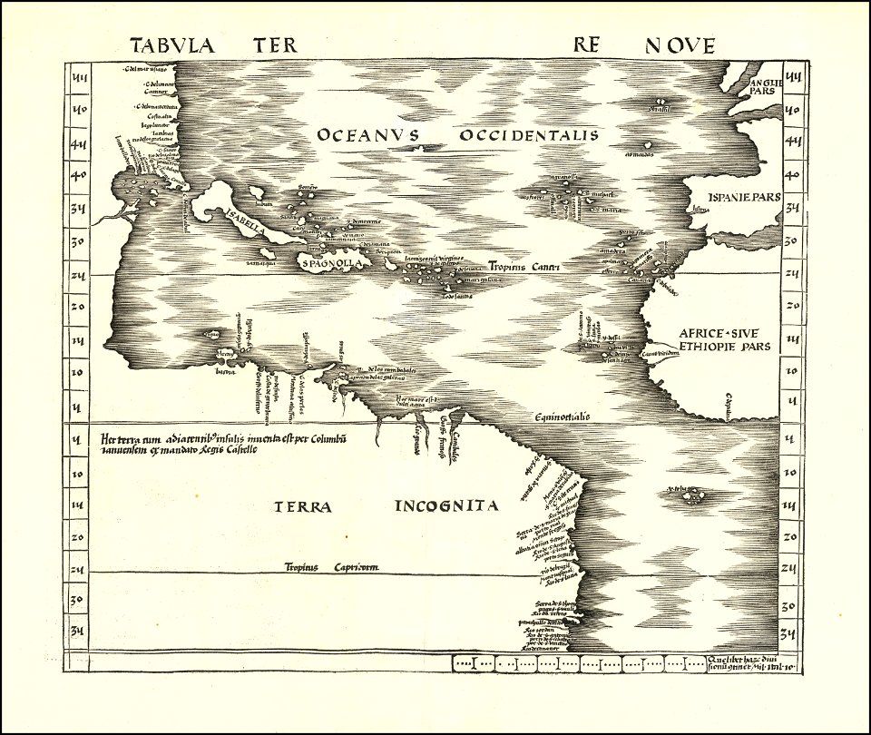
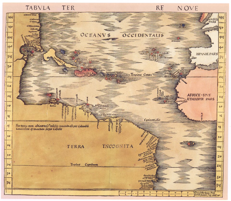
maps by martin waldseemüller
charts and maps of the royal museums greenwich
1572 maps
illustration
maps
medieval
maps
a map of the british empire in america with the french and spanish settlements adjacent thereto
maps in the library of congress
maps by willem and johannes blaeu
atlas van loon
1814 maps of north america
maps by john thomson
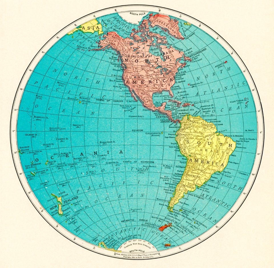
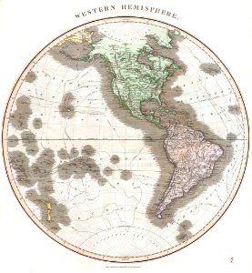
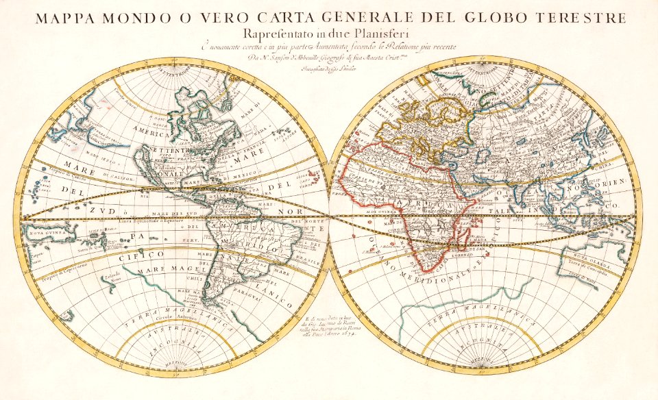
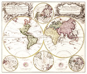
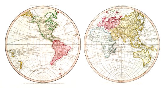
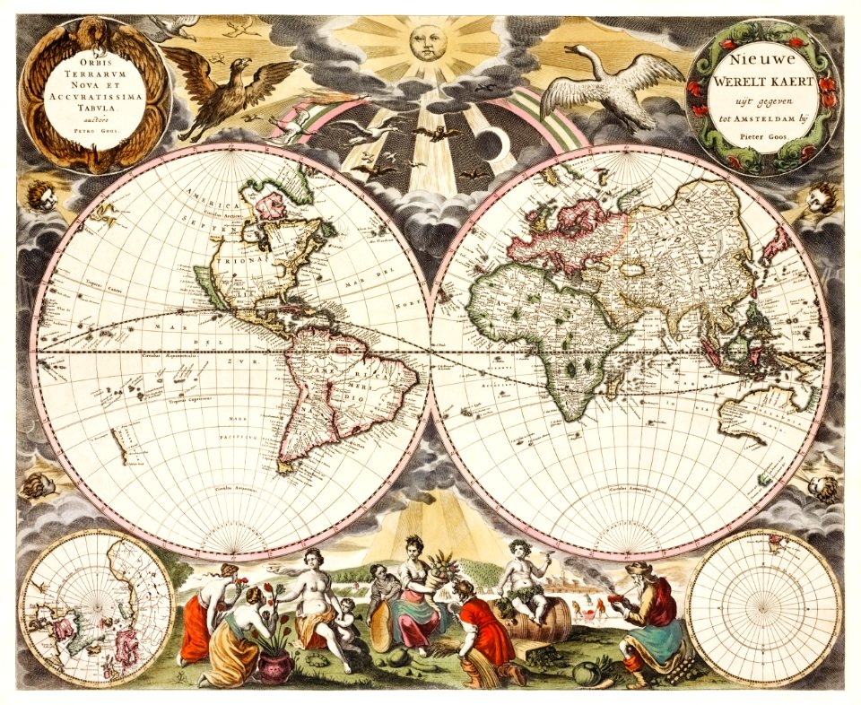
old maps of earth's hemispheres
maps of voyages
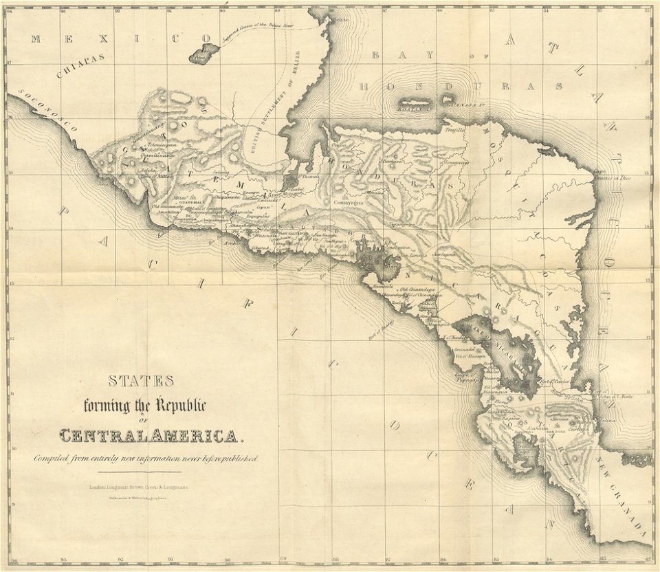
19th-century maps of central america
1855 maps
maps of the west-indische compagnie
abraham goos
maps by joseph hutchins colton
1855 maps of north america
1850s maps of south america
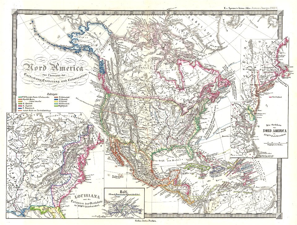
karl spruner von merz
18th-century maps of the spanish empire
maps made in the 18th century
19th-century maps of the americas
karl spruner von merz
19th-century maps of the americas
karl spruner von merz
english-language maps
1814 maps
ferdinand magellan
new world
waldseemüller map
age of discovery
maps in the library of congress
18th-century maps of barbados
maps in the library of congress
18th-century maps of cuba
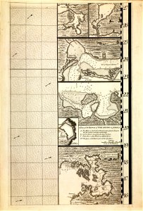
a map of the british empire in america with the french and spanish settlements adjacent thereto
maps in the library of congress
a map of the british empire in america with the french and spanish settlements adjacent thereto
maps in the library of congress
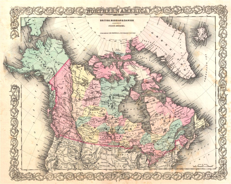
old maps of canada
province of canada
karl spruner von merz
1855 maps
french-language maps
gerard valck
maps by frederick de wit
copper engraving
a map of the british empire in america with the french and spanish settlements adjacent thereto
maps in the library of congress
a map of the british empire in america with the french and spanish settlements adjacent thereto
maps in the library of congress
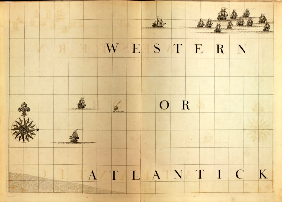
a map of the british empire in america with the french and spanish settlements adjacent thereto
maps in the library of congress
a map of the british empire in america with the french and spanish settlements adjacent thereto
maps in the library of congress
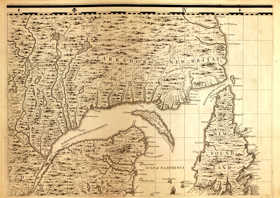
a map of the british empire in america with the french and spanish settlements adjacent thereto
maps in the library of congress
a map of the british empire in america with the french and spanish settlements adjacent thereto
maps in the library of congress
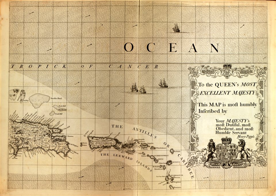
a map of the british empire in america with the french and spanish settlements adjacent thereto
maps in the library of congress
a map of the british empire in america with the french and spanish settlements adjacent thereto
maps in the library of congress
a map of the british empire in america with the french and spanish settlements adjacent thereto
maps in the library of congress
a map of the british empire in america with the french and spanish settlements adjacent thereto
maps in the library of congress
a map of the british empire in america with the french and spanish settlements adjacent thereto
maps in the library of congress
a map of the british empire in america with the french and spanish settlements adjacent thereto
maps in the library of congress
a map of the british empire in america with the french and spanish settlements adjacent thereto
maps in the library of congress
a map of the british empire in america with the french and spanish settlements adjacent thereto
maps in the library of congress
a map of the british empire in america with the french and spanish settlements adjacent thereto
maps in the library of congress
a map of the british empire in america with the french and spanish settlements adjacent thereto
maps in the library of congress
a map of the british empire in america with the french and spanish settlements adjacent thereto
maps in the library of congress
vintage
maps
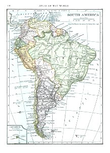
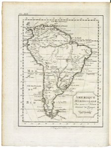
old maps of south america
1909
christopher columbus
ferdinand magellan
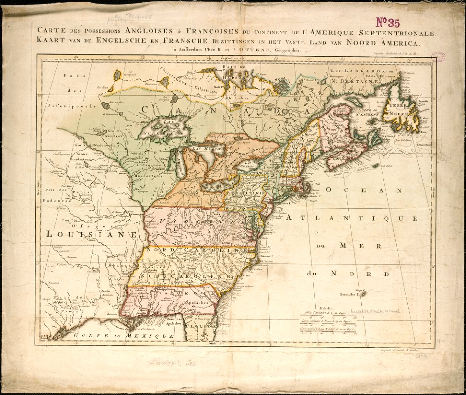
18th-century maps of north america
1794 maps
old maps of north america
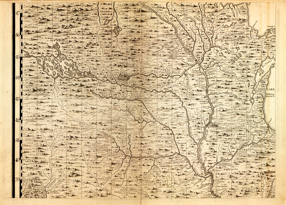
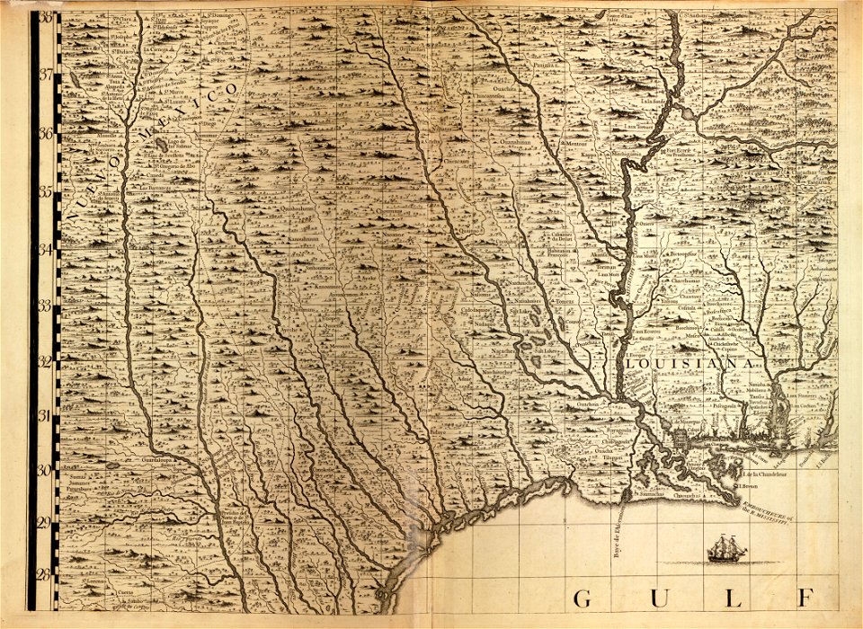
1755 mitchell map
old maps of north america
1755 mitchell map
old maps of north america
1755 mitchell map
world
maps
brazil
maps
17th-century maps of the americas
athanasius kircher
veracruz
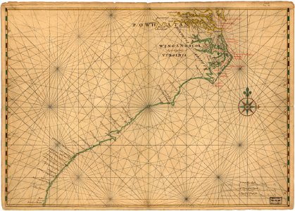
florida
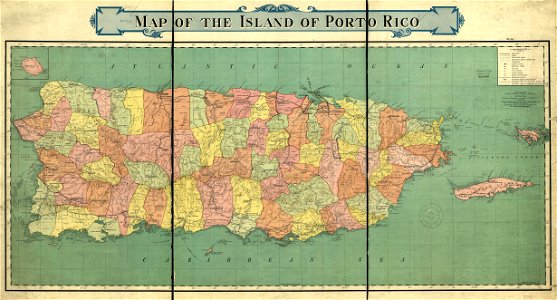
old maps of puerto rico
rand mcnally
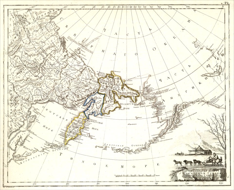
maps of petropavlovsk-kamchatsky
maps of russian america
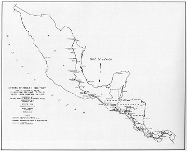
1933 in road transport
road map
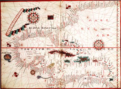
maps of the west-indische compagnie
1772
maps of the west-indische compagnie
1770s
maps in the library of congress
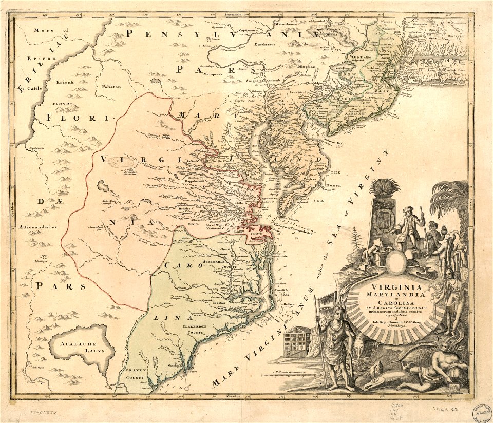
old maps of maryland
maps in the library of congress
old maps of maryland
victor levasseur - maps of the world
historical images of arecaceae
18th-century maps of nicaragua
1780 in central america
maps in the library of congress
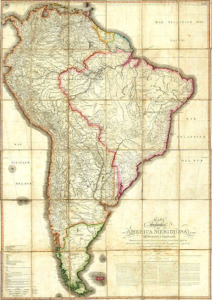
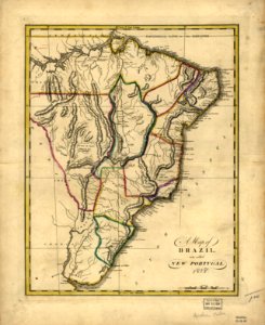
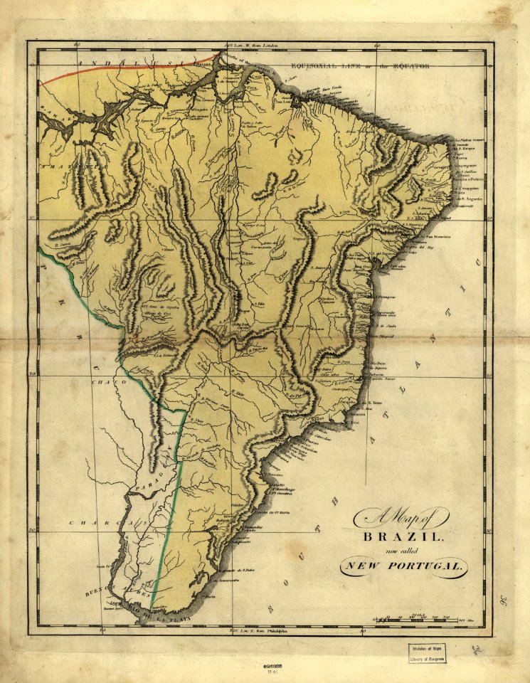
19th-century maps of brazil
maps in the library of congress
19th-century maps of brazil
maps in the library of congress
19th-century maps of brazil
maps in the library of congress
19th-century maps of brazil
maps of the west-indische compagnie
1630
maps of the west-indische compagnie
1681
images from the john carter brown library
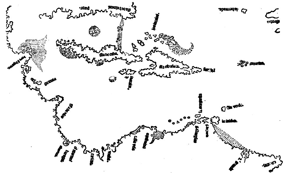
1500s maps of the caribbean
maps in the library of congress
johannes vingboons
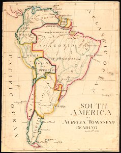
aurelia townsend herrick
1831 maps
charts and maps of the royal museums greenwich
1572 maps
illustrations of cosmographia (münster)
old maps of the world
abraham goos
1624
maps by martin waldseemüller
latin-language maps
maps by nicolas sanson
northern michigan
1805 maps of the united states
maps by john cary
australia
maps
australia
maps
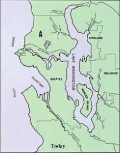
drainage basin maps of north america
lake washington ship canal
maps from the mechanical curator collection
19th-century maps of central america
17th-century maps of the americas
maps with cartouches
earth
maps
maps in the library of congress
1759 maps
maps in the library of congress
1759 maps
old maps of north america from the norman b. leventhal map center
1755 maps of the united states
atlantis magni tomus quintus (biblioteca comunale di trento)
maps made in the 18th century
1 - 100 of 962
Next page
/ 10