Log in
All resources
Create a design
7,070 Free Artworks of Engraved Maps
copper engraving
maps in the library of congress
engravings by matthäus merian
engraving
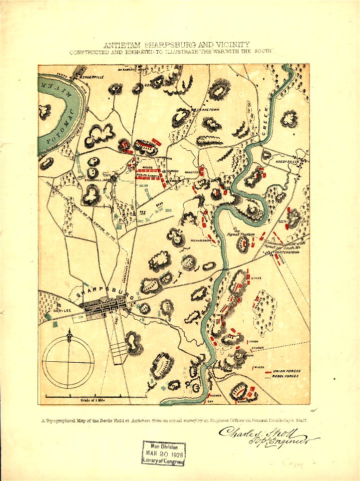
1863 maps
ships on maps
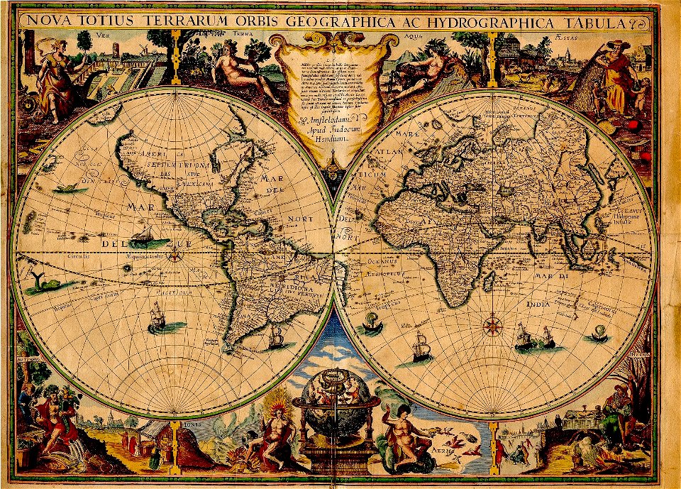
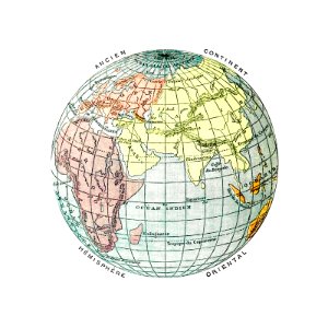
world map
maps by jodocus hondius
earth
globe
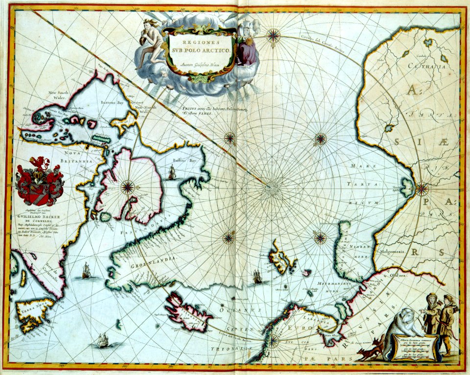
third voyage of willem barentsz
16th-century maps of the arctic
maps from the earth and its inhabitants, vol. vi
charles eugène perron
itinerario (jan huygen van linschoten)
latin-language maps
old county maps of lancashire
copper engravings
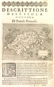
17th-century maps of iceland
copper engravings
a voyage to terra australis
1814 engravings
james william edmund doyle
owen bailey
maps in the library of congress
maps by jodocus hondius
maps from the earth and its inhabitants, vol. vi
maps of the silk road
père-lachaise cemetery in the 19th century
old maps of the père-lachaise cemetery
coat of arms of germany
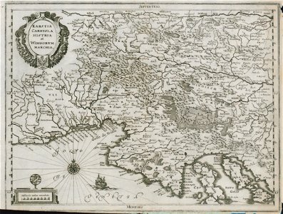
1642 maps of croatia
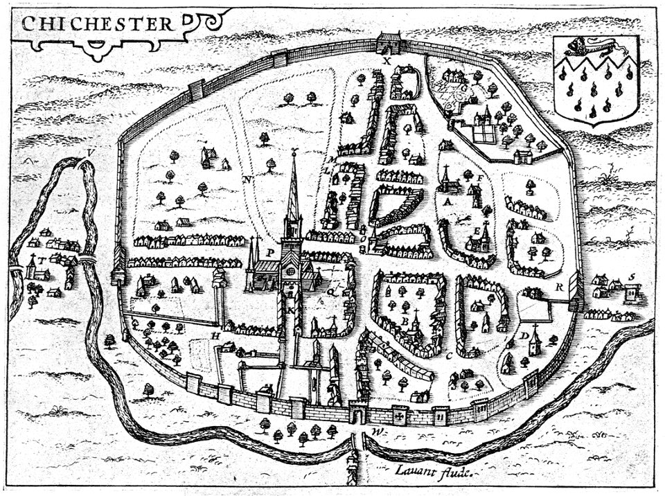
west sussex
chichester
engravings by matthäus merian
engraved maps
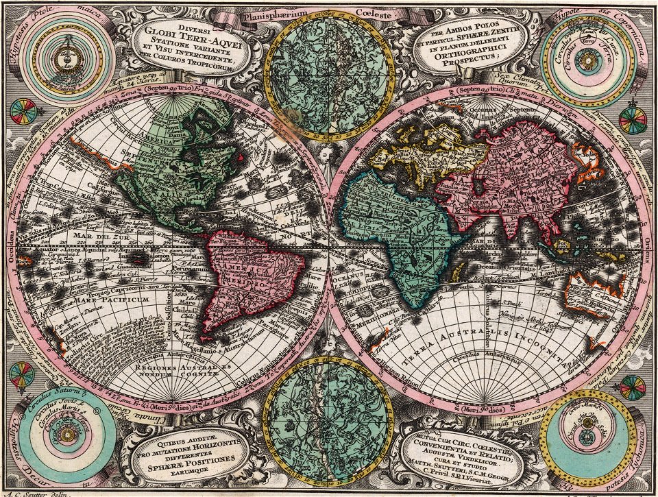
old maps of earth's hemispheres
french-language maps
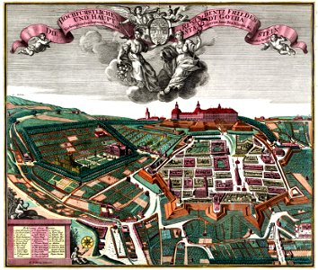
schloss friedenstein (gotha)
18th-century engravings
17th-century engravings
faces of men in art
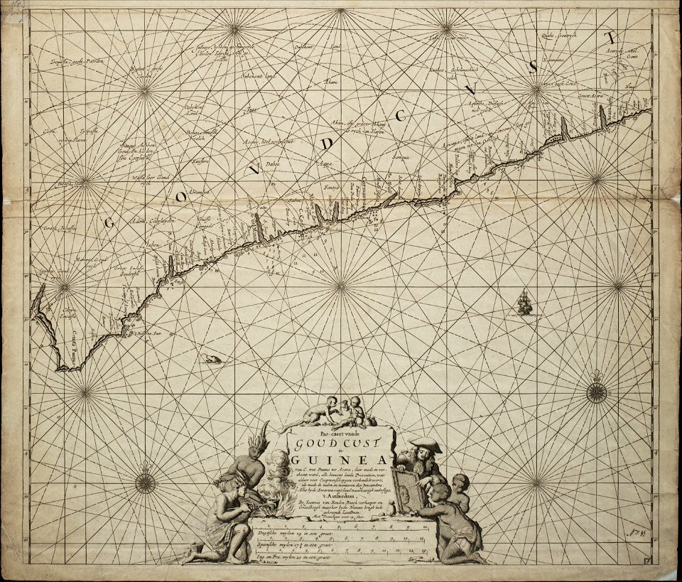
old maps of guinea
copper engraving
double hemisphere world maps
color engravings
travel
maps
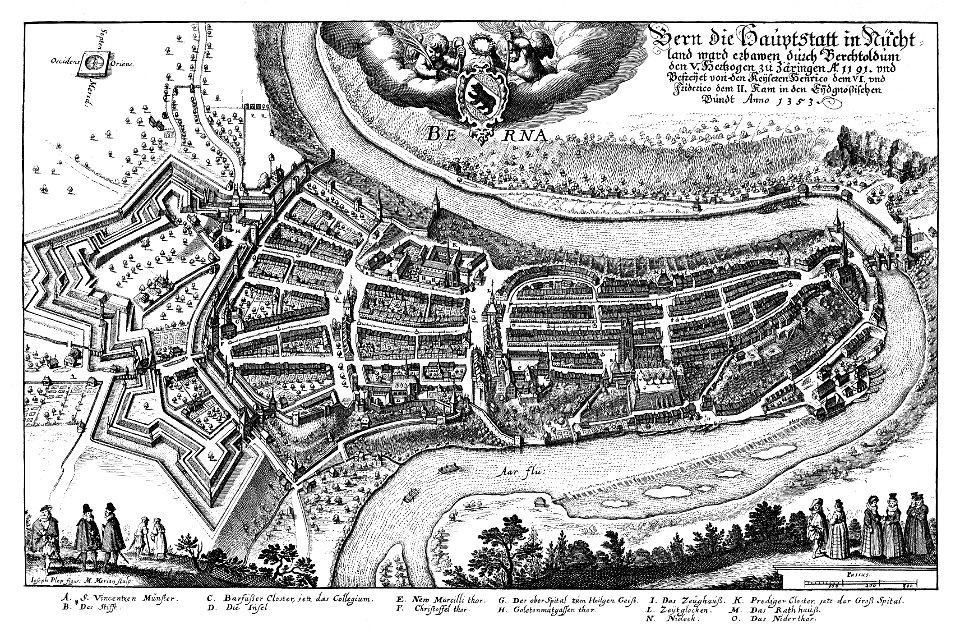
1638 in switzerland
bern
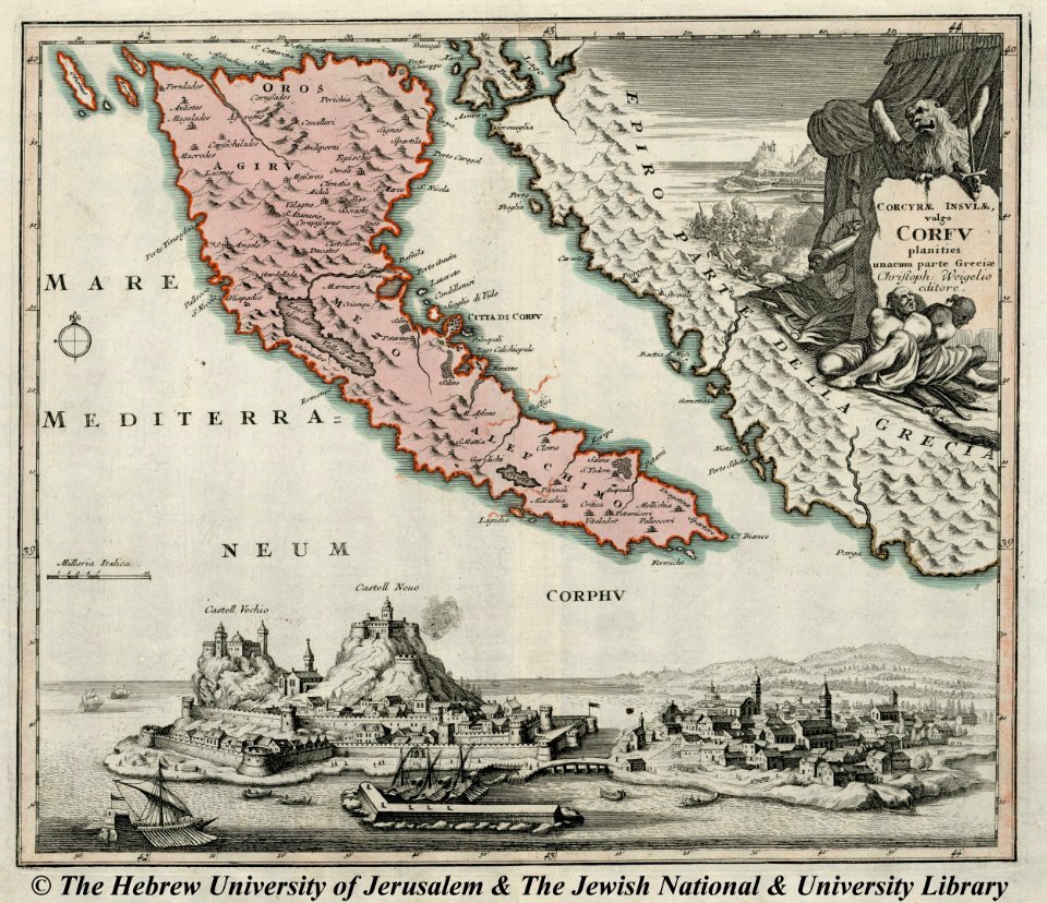
engravings of palaio frourio (corfu)
1720 maps
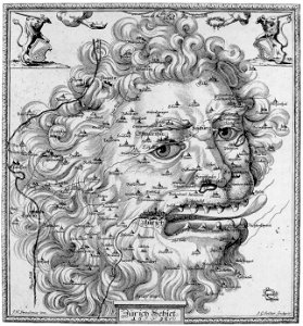
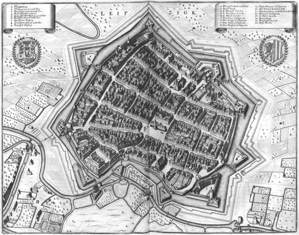
history of zürich
engraved maps
maps and topographical views by joris hoefnagel
engravings in the museum plantin-moretus
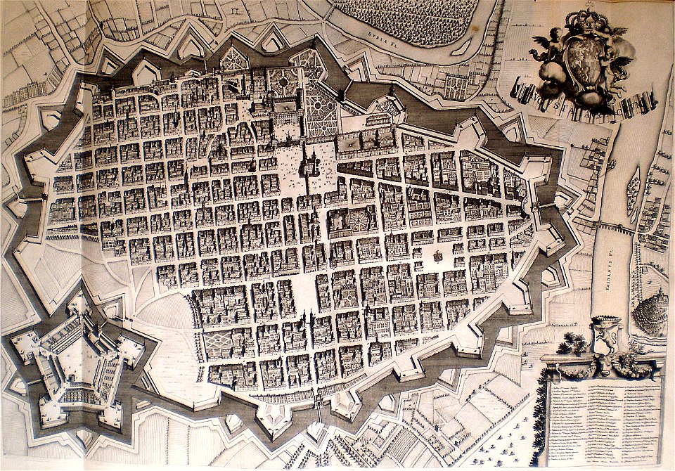
old maps of turin
1674 engravings
engravings by matthäus merian
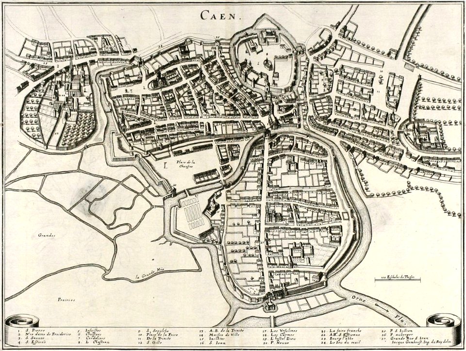
old maps of caen
1867 engravings
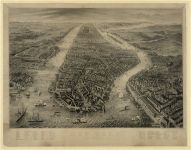
new york city
girolamo porro
1572 maps
double hemisphere world maps
copper engraving
copper engraving
maps
maps in the library of congress
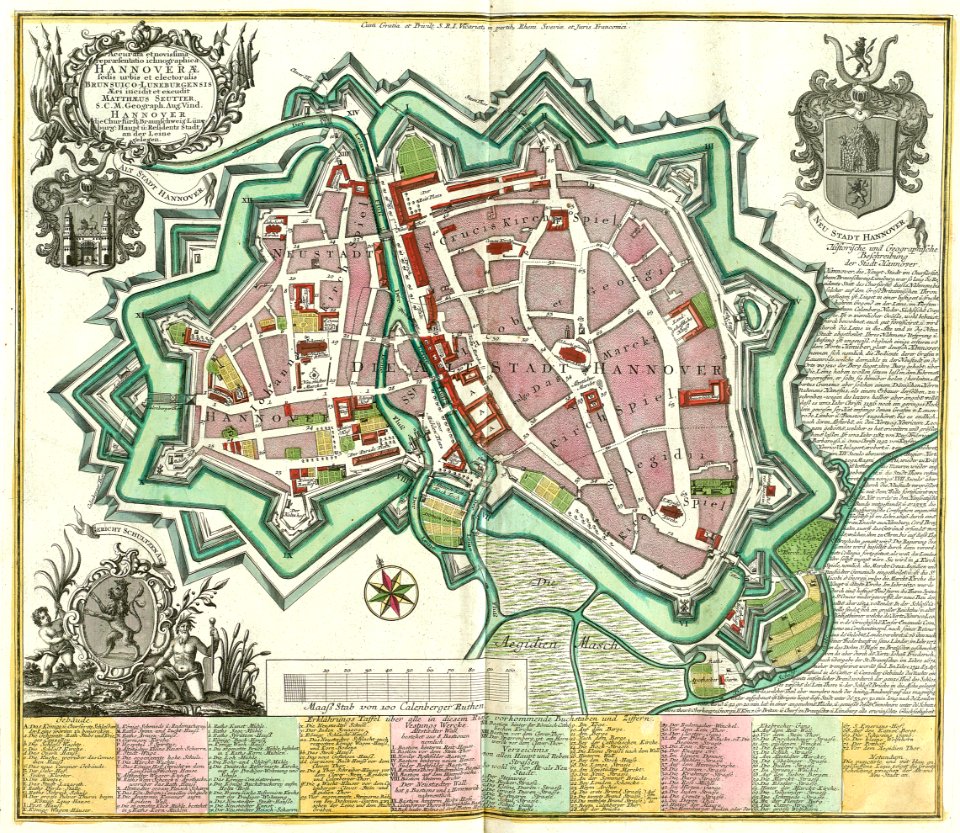
maps by matthäus seutter
maps in the library of congress
old maps of pennsylvania
maps in the library of congress
old maps of pennsylvania
color engravings
jodocus hondius
maps by willem and johannes blaeu
copper engraving
old celestial maps
maps with figures
l'illustration
1853
maps in the library of congress
old maps of virginia
maps in the library of congress
old maps of maryland
maps in the library of congress
old maps of maryland
1867 engravings
new york city
maps in the library of congress
old maps of maryland
maps in the library of congress
old maps of maryland
maps in the library of congress
old maps of virginia
copper engraving
friesland
english-language maps
1776 maps
cartography
maps
maps in the library of congress
mississippi
maps in the library of congress
mississippi
old maps of rhineland-palatinate
engravings by matthäus merian
maps in musée de la compagnie des indes
maps of lorient
1872 engravings
wood engraving
maps by frederick de wit
copper engraving
johann walch (engraver)
1805 engravings
engravings by matthäus merian
1644 maps of europe
maps by frederick de wit
copper engraving
copper engravings in the universitätsbibliothek salzburg
maps by abraham ortelius
copper engraving
gerard valck
historic views of hamburg
st nikolai
1700s maps of baden-württemberg
bishopric of constance
old maps of coimbra
braun & hogenberg
symbol
maps
earth
maps
description des principales villes (1690)
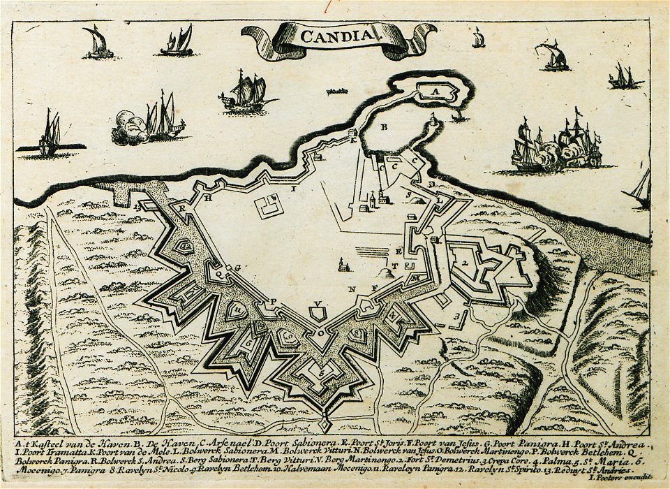
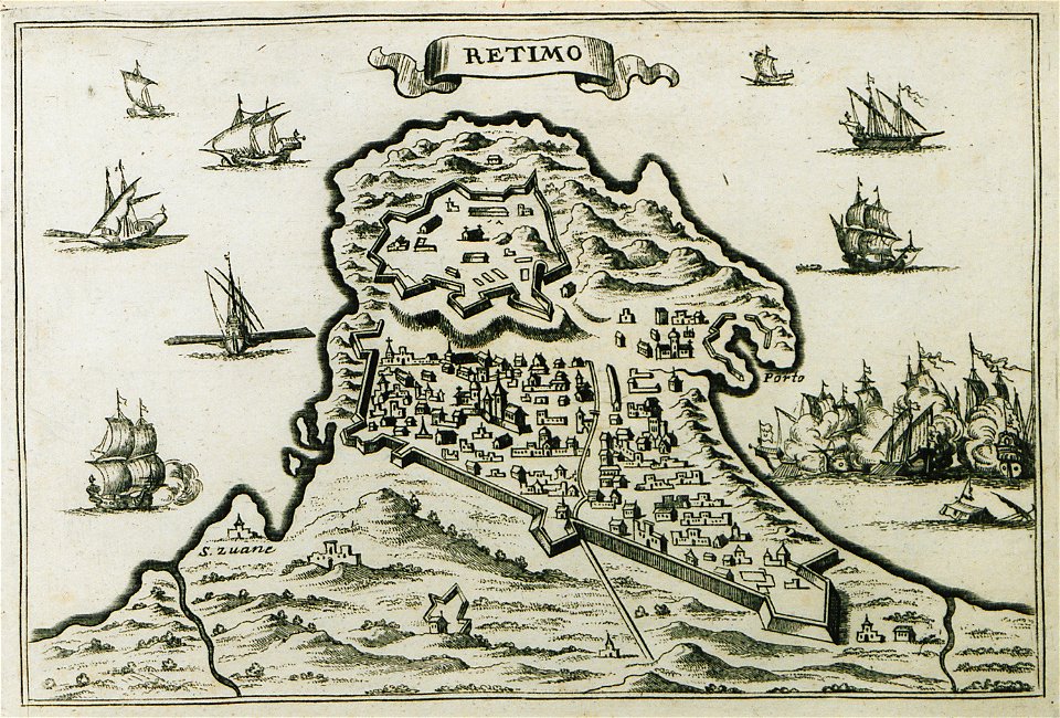
old maps of crete
pictorial maps
thüringiae
engravings by matthäus merian
1649 maps
illustration
maps
collections of mart
engraving
description des principales villes (1690)
old maps of crete
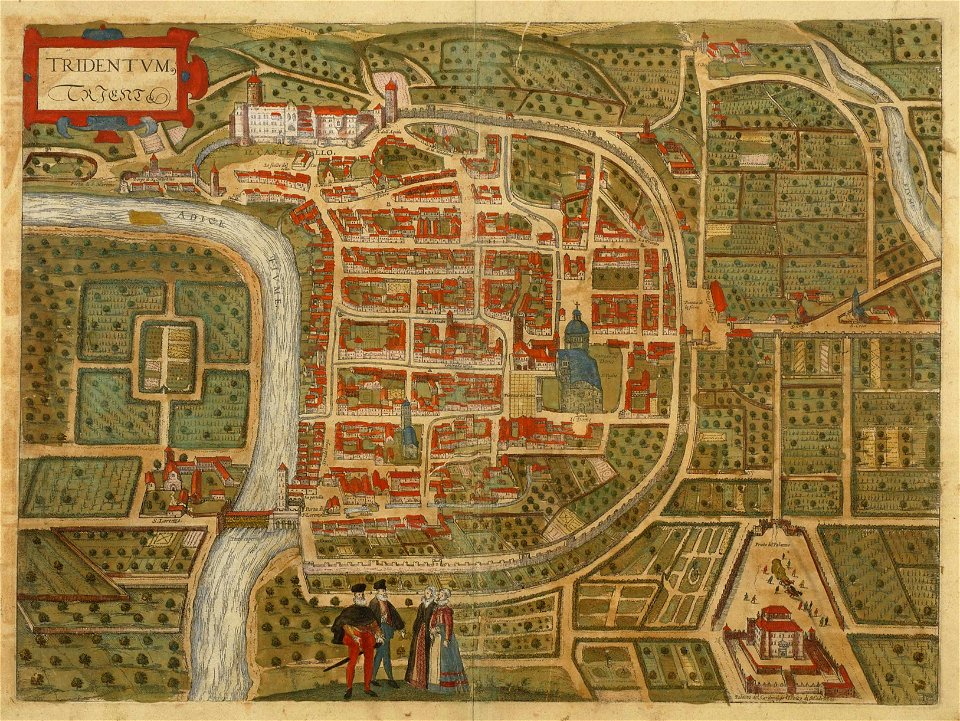
old maps of trento
engraving
olomouc fortress
1644
grote kerk
haarlem
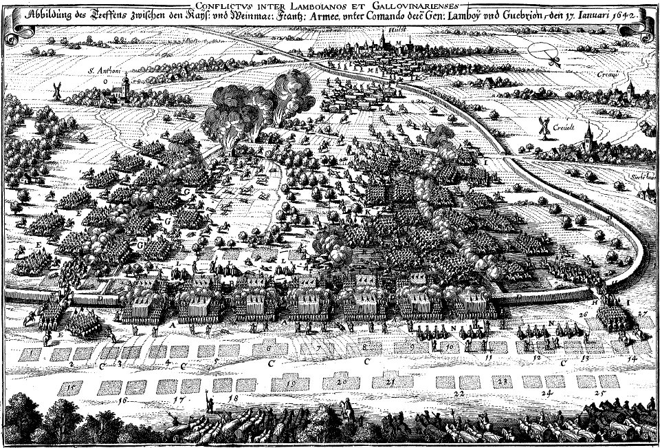
maps of battles of the thirty years' war
engravings of theatrum europaeum
maps by willem and johannes blaeu
joan blaeu
copper engraving
ships on maps
maps by frederick de wit
copper engraving
maps with cartouches
copper engraving
temperance movement
jr
engravings of topographia bohemiae moraviae et silesiae
old maps of silesia
18th-century maps of africa
engravings by jan luyken
maps made in the 16th century
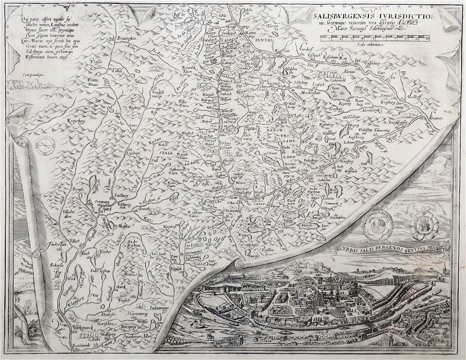
old maps of salzburg (state)
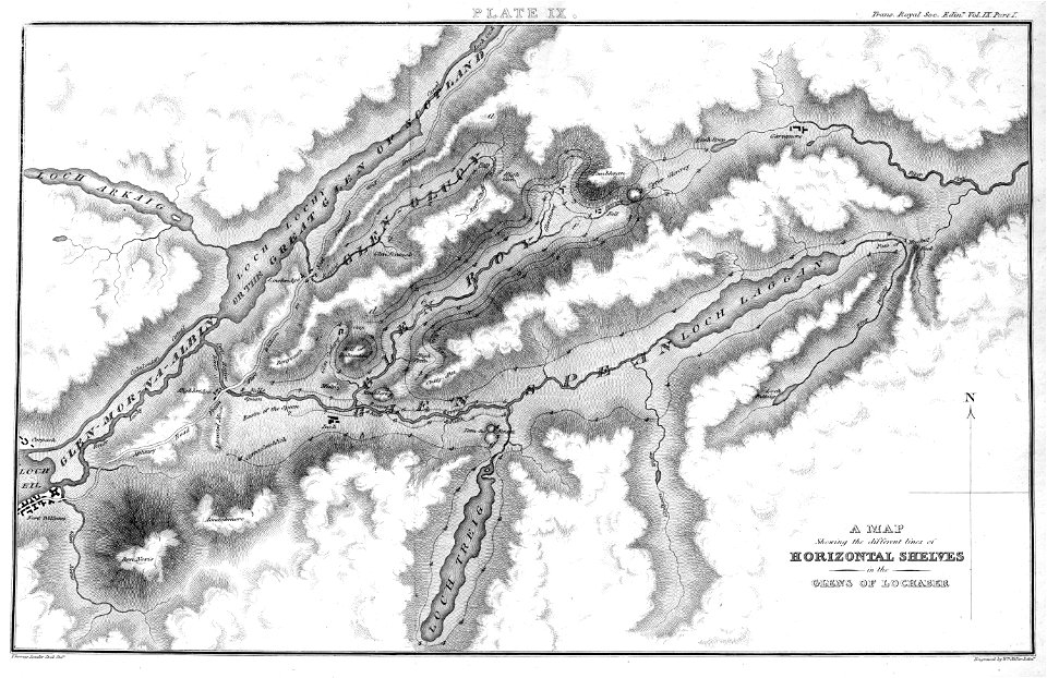
engravings by william miller
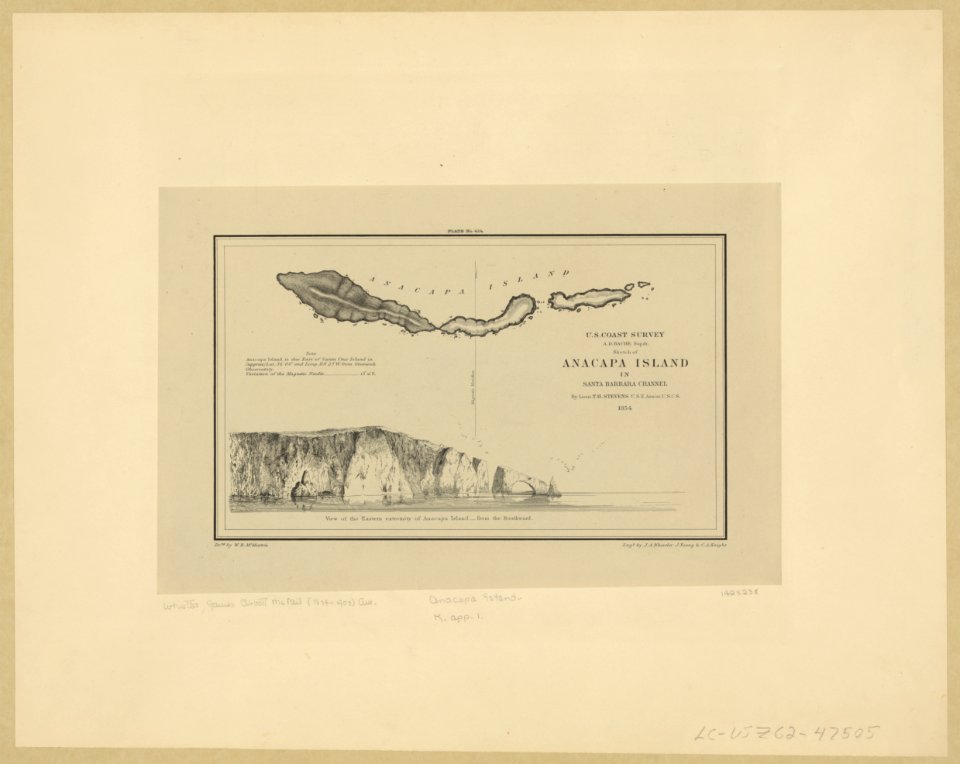
anacapa island
california
maps in musée de la compagnie des indes
17th-century engravings
17th-century engravings
frans post
braun & hogenberg
copper engraving
braun & hogenberg
ships on maps
history of hanau
maps of hanau
1900s maps of paris
engravings of paris
engravings of topographia saxoniae inferioris
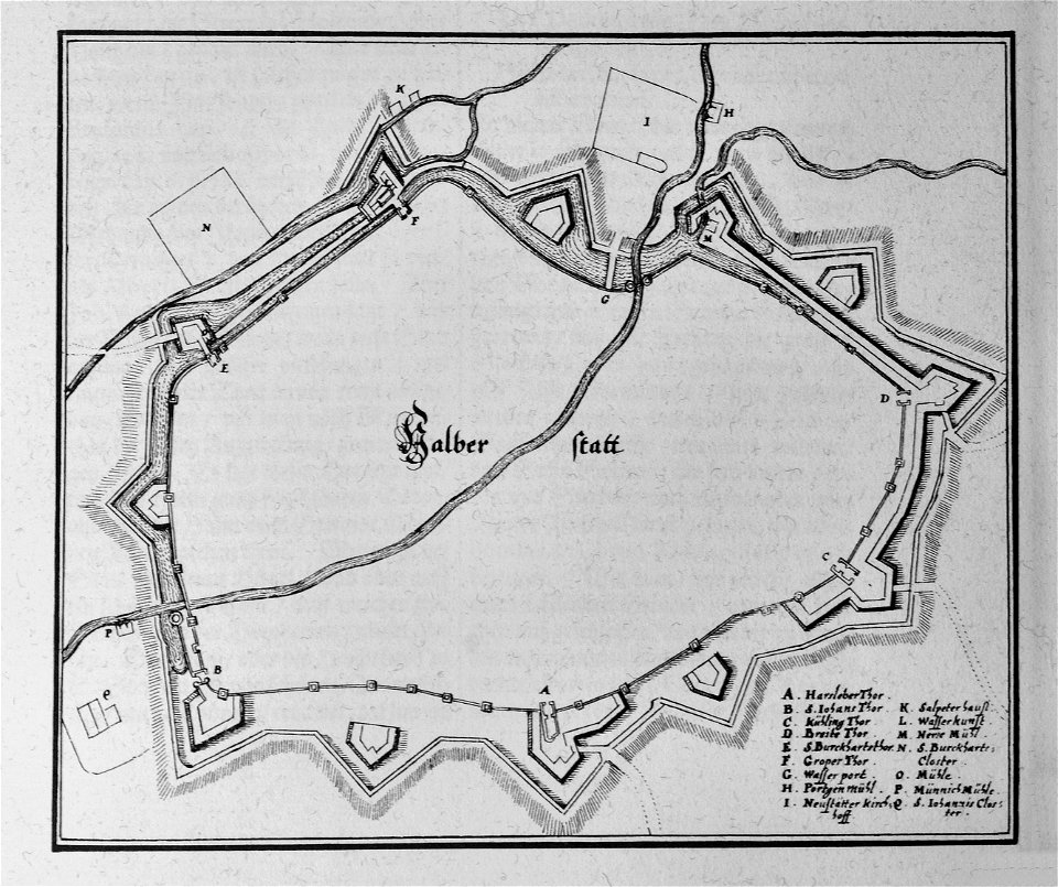
maps of halberstadt
maps by johannes janssonius
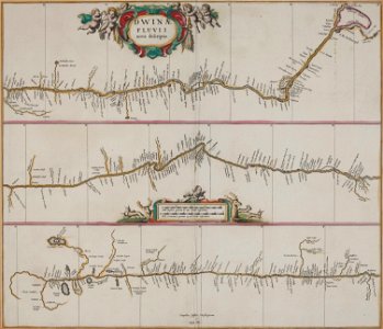
severnaya dvina river
l'illustration
1862
engravings of topographia saxoniae inferioris
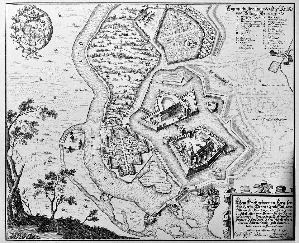
maps of bremervörde
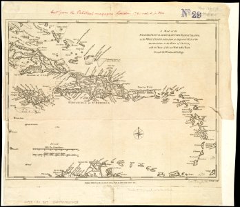
18th-century maps of hispaniola
1780s maps of the caribbean
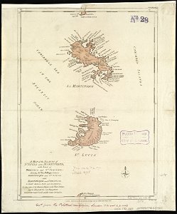
18th-century maps of martinique
john lodge (engraver)
engravings in the rijksmuseum amsterdam
old maps of venice
travel
maps
copper engraving
1645 maps
copper engraving
beavers in art
copper engraving
1643 engravings
engravings by matthäus merian
old maps of blokzijl
1 - 100 of 7,070
Next page
/ 71


![A literary party at Sir Joshua Reynolds', James William Edmund Doyle, 1851[1]](https://cdn.creazilla.com/illustrations/10001566600/a-literary-party-at-sir-joshua-reynolds-james-william-edmund-doyle-18511.jpg)