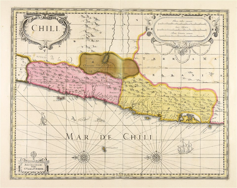
Log in
All resources
Create a design
752 Free Artworks of Atlantis
maps made in the 17th century
atlantis magni tomus tertius (biblioteca comunale di trento)
atlantis magni tomus quartus (biblioteca comunale di trento)
atlantis magni tomus primus (biblioteca comunale di trento)
jan janssonius
atlantis magni tomus secundus (biblioteca comunale di trento)
atlantis magni tomus quintus (biblioteca comunale di trento)
moses pitt
gerard valck
maps made in the 18th century
martin mijtens (i)
olaus rudbeck
atlantis magni tomus quartus (biblioteca comunale di trento)
atlantis magni tomus primus (biblioteca comunale di trento)
atlantis magni tomus tertius (biblioteca comunale di trento)
atlantis magni tomus quintus (biblioteca comunale di trento)
atlantis magni tomus secundus (biblioteca comunale di trento)
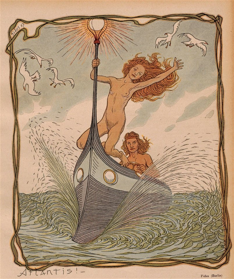
1907 drawings
fidus
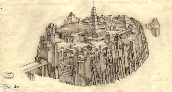
atlantis in fiction
géza maróti
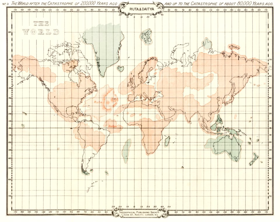
world map
maps
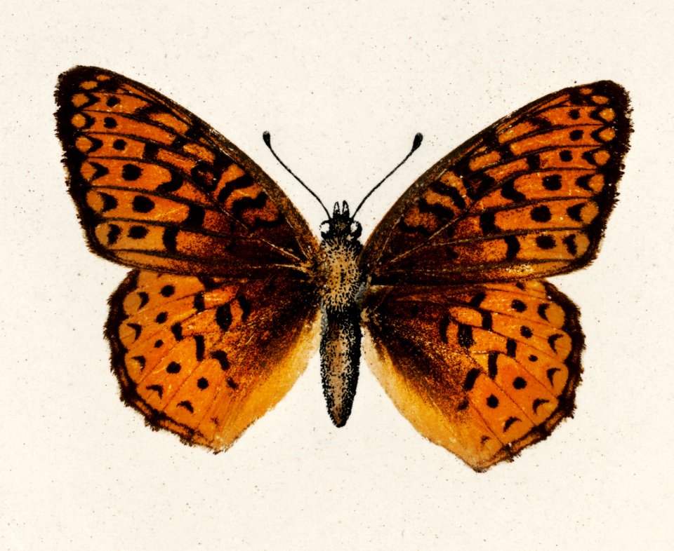
butterfly
animals
butterfly
animals
atlantis magni tomus primus (biblioteca comunale di trento)
17th-century maps of sweden
atlantis magni tomus primus (biblioteca comunale di trento)
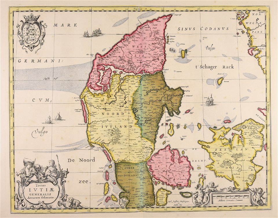
17th-century maps of denmark
atlantis magni tomus secundus (biblioteca comunale di trento)
maps made in the 17th century
atlantis magni tomus primus (biblioteca comunale di trento)
17th-century maps of sweden
atlantis magni tomus quartus (biblioteca comunale di trento)
maps made in the 17th century
atlantis magni tomus quartus (biblioteca comunale di trento)
maps made in the 17th century
peloponnese
veduta
atlantis magni tomus primus (biblioteca comunale di trento)
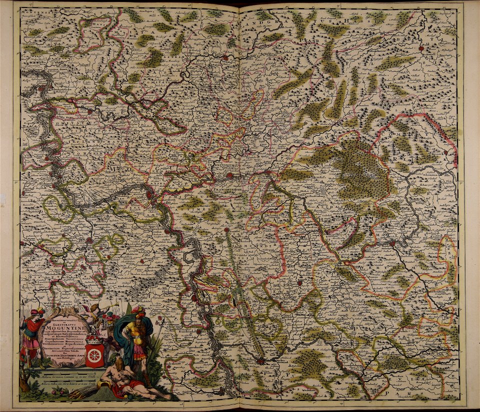
johann baptist homann
atlantis magni tomus tertius (biblioteca comunale di trento)
maps made in the 17th century
atlantis magni tomus secundus (biblioteca comunale di trento)
maps made in the 17th century
atlantis magni tomus quartus (biblioteca comunale di trento)
maps made in the 17th century
atlantis magni tomus quartus (biblioteca comunale di trento)
maps made in the 17th century
atlantis magni tomus tertius (biblioteca comunale di trento)
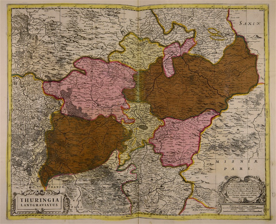
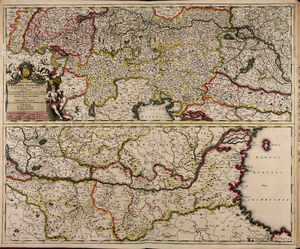
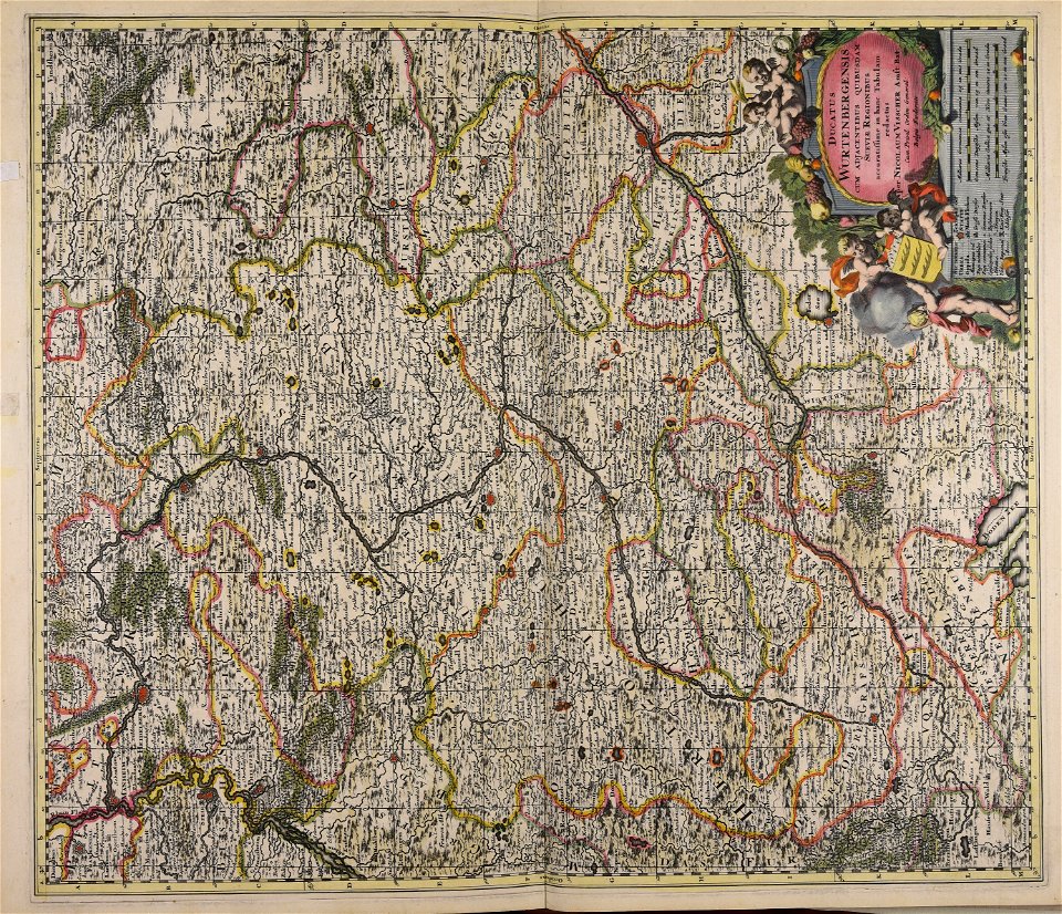
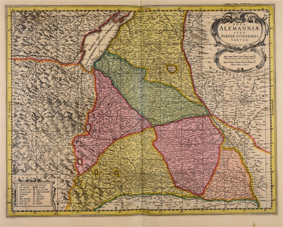
1690s maps of germany
atlantis magni tomus quartus (biblioteca comunale di trento)
maps made in the 17th century
atlantis magni tomus tertius (biblioteca comunale di trento)
maps made in the 17th century
atlantis magni tomus tertius (biblioteca comunale di trento)
maps made in the 17th century
atlantis magni tomus primus (biblioteca comunale di trento)
maps made in the 17th century
atlantis magni tomus tertius (biblioteca comunale di trento)
maps made in the 17th century
atlantis magni tomus tertius (biblioteca comunale di trento)
johann baptist homann
atlantis magni tomus quartus (biblioteca comunale di trento)
maps made in the 17th century
atlantis magni tomus quintus (biblioteca comunale di trento)
maps by pieter schenk (i)
maps made in the 17th century
jan janssonius
maps made in the 17th century
jan janssonius
atlantis magni tomus quintus (biblioteca comunale di trento)
maps made in the 17th century
maps made in the 17th century
nicolaes visscher ii
atlantis magni tomus tertius (biblioteca comunale di trento)
maps made in the 17th century
atlantis magni tomus tertius (biblioteca comunale di trento)
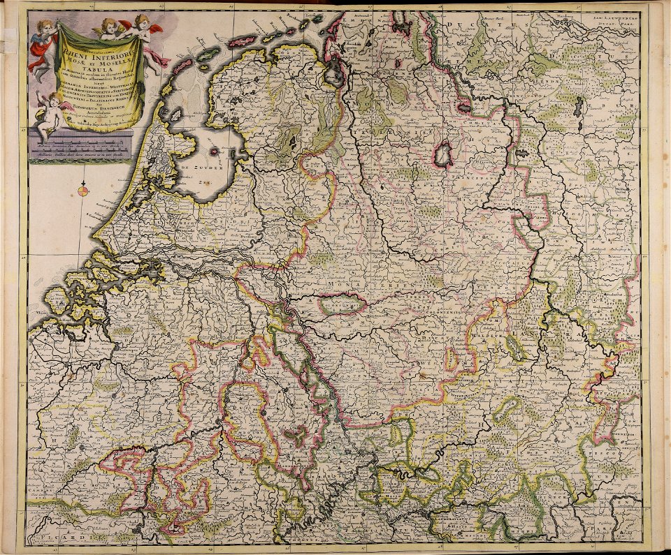
17th-century maps of lower saxony
maps made in the 17th century
leinster
maps made in the 17th century
jan janssonius
maps made in the 17th century
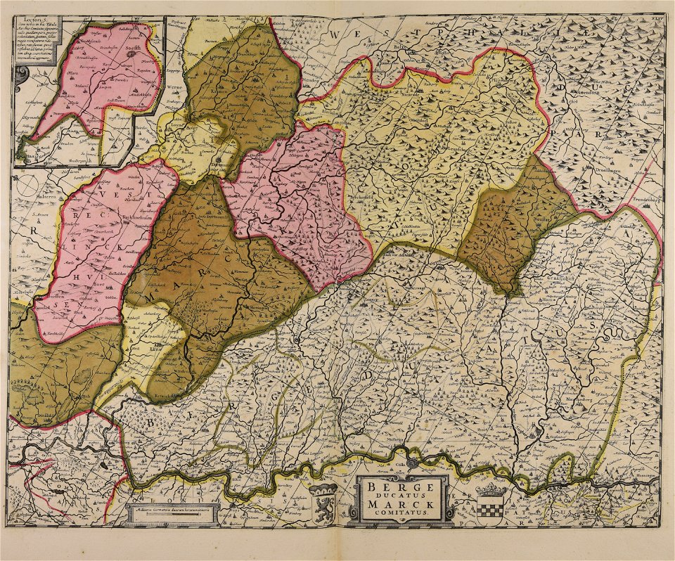
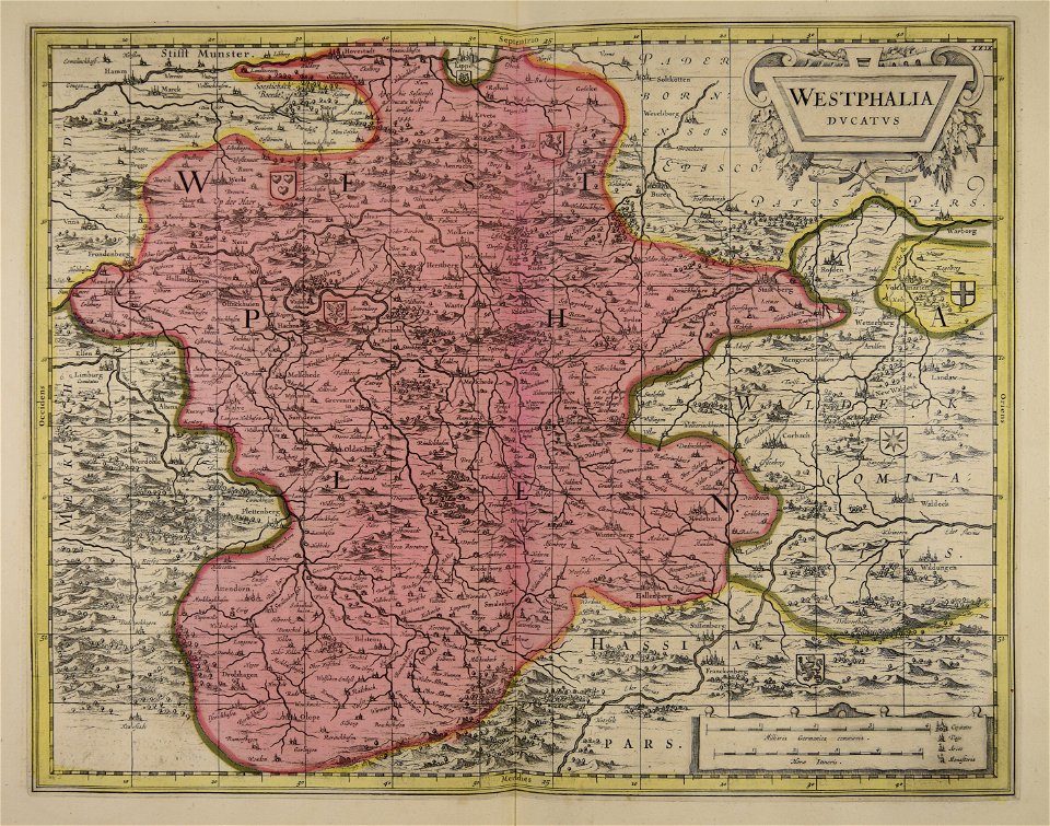
maps of the county of mark
atlantis magni tomus tertius (biblioteca comunale di trento)
maps made in the 17th century
maps made in the 17th century
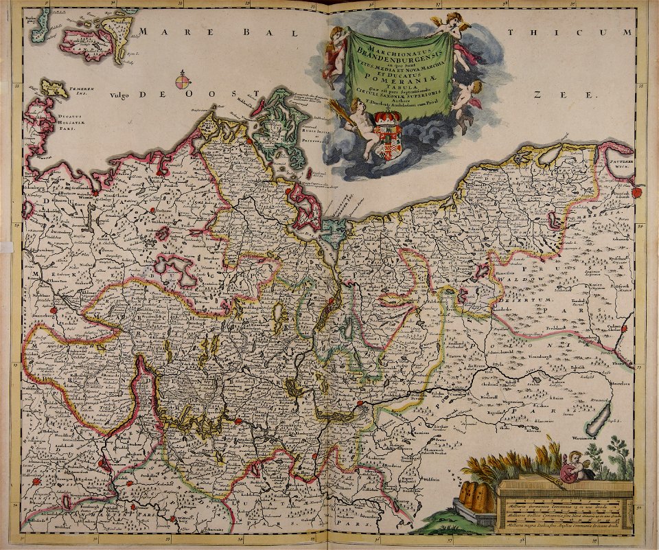
old maps of brandenburg
atlantis magni tomus tertius (biblioteca comunale di trento)
maps made in the 17th century
atlantis magni tomus secundus (biblioteca comunale di trento)
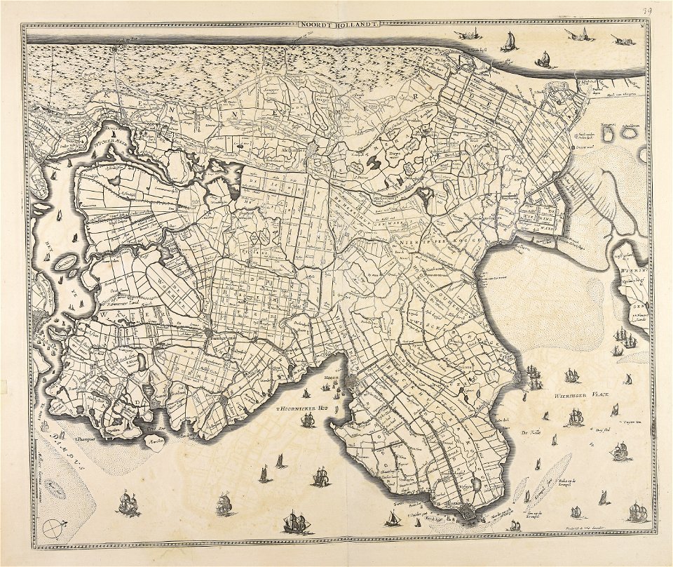
olanda settentrionale
maps made in the 17th century
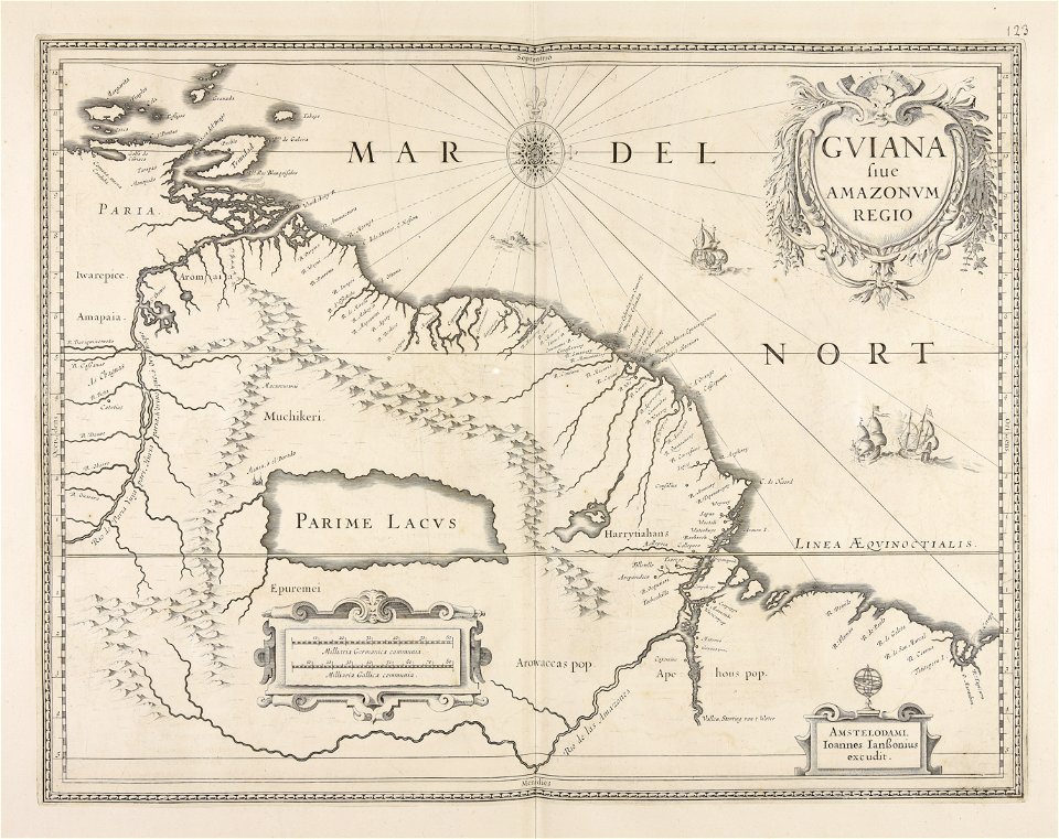
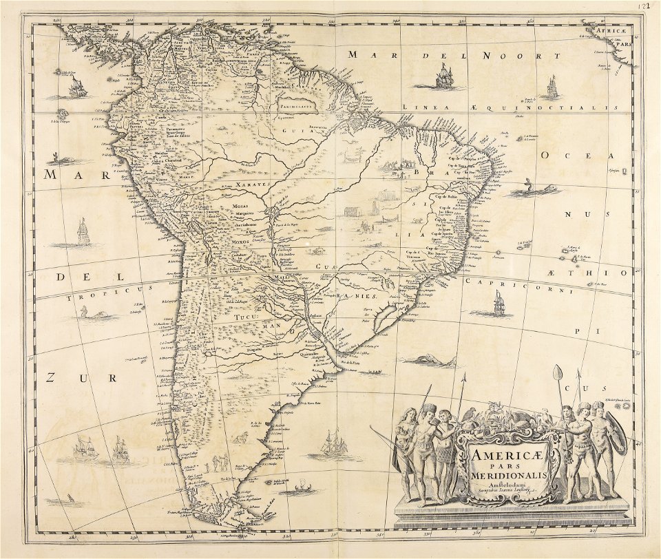
guiana
atlantis magni tomus primus (biblioteca comunale di trento)
maps made in the 17th century
atlantis magni tomus tertius (biblioteca comunale di trento)
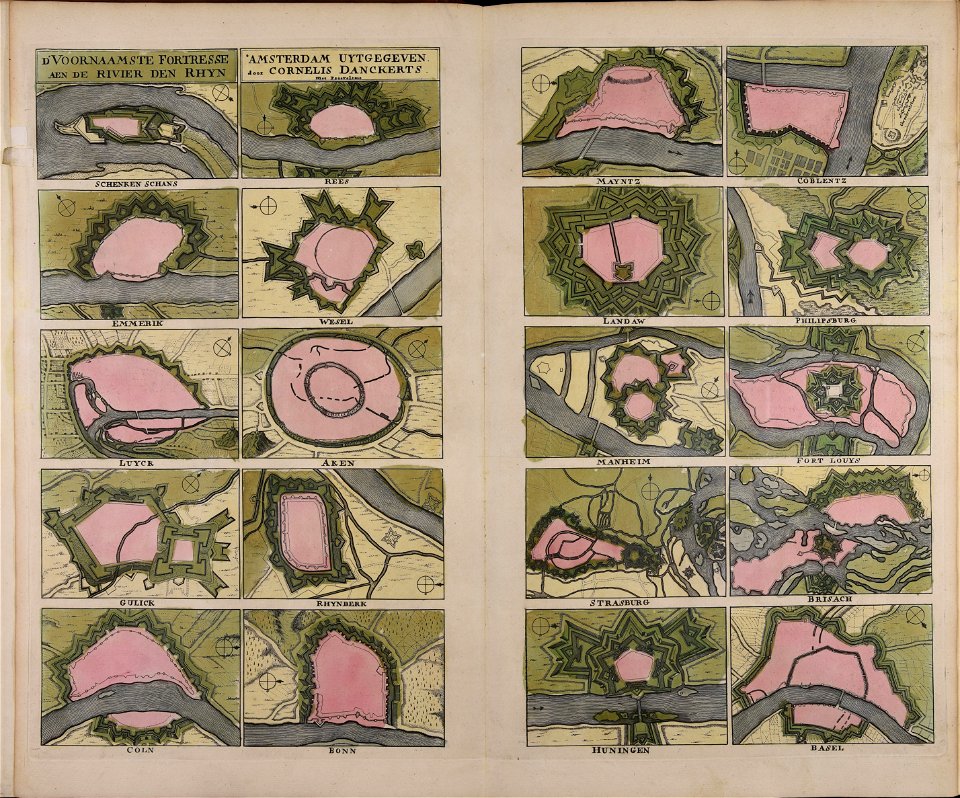
cornelis danckerts (ii)
maps made in the 17th century
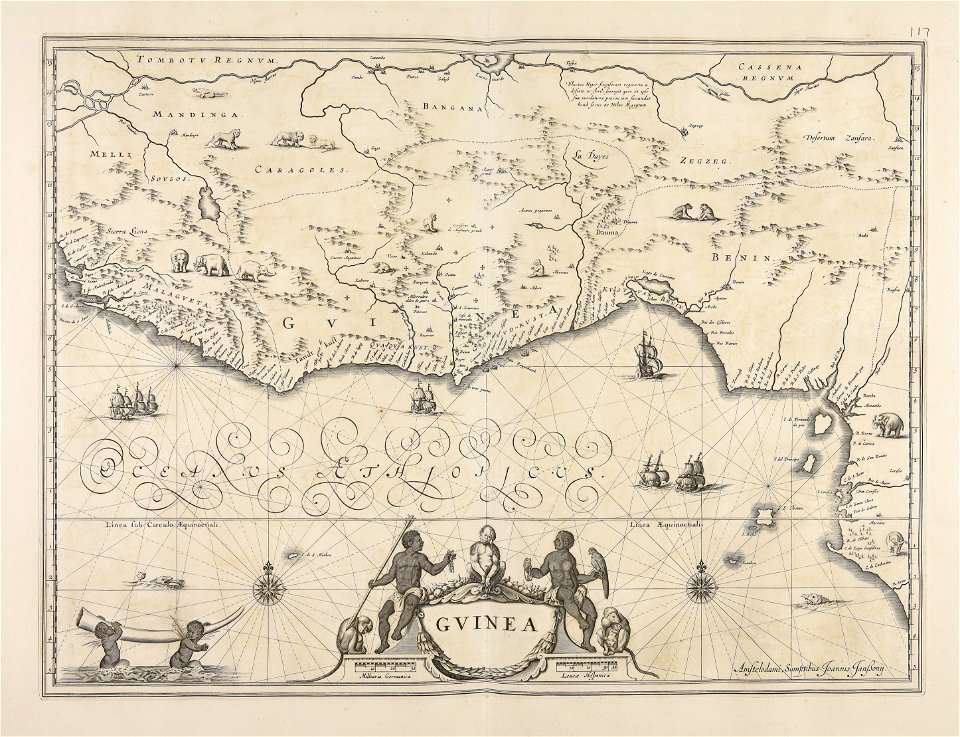
old maps of guinea
maps made in the 17th century
old maps of skåne
maps made in the 17th century
old maps of westphalia
maps made in the 18th century
gerard valck
atlantis magni tomus quartus (biblioteca comunale di trento)
maps made in the 17th century
maps made in the 17th century
cina
maps made in the 17th century
jan janssonius
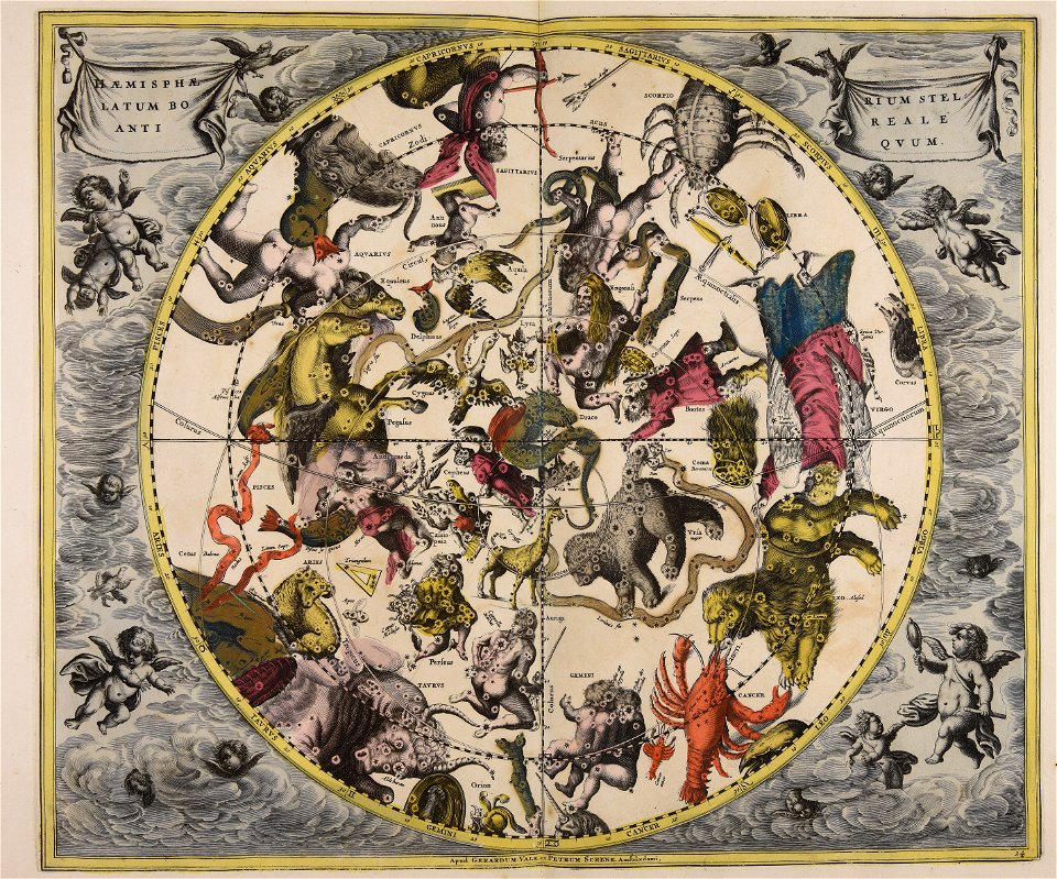
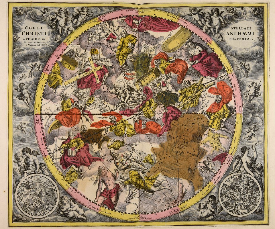
cellarius harmonia macrocosmica
gerard valck
gerard valck
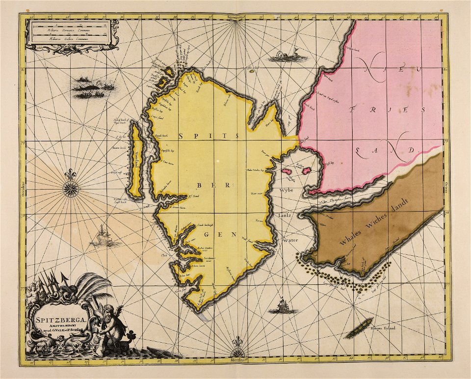
spitsbergen
gerard valck
ciling
atlantis magni tomus primus (biblioteca comunale di trento)
maps made in the 17th century
atlantis magni tomus tertius (biblioteca comunale di trento)
maps made in the 17th century
maps made in the 17th century
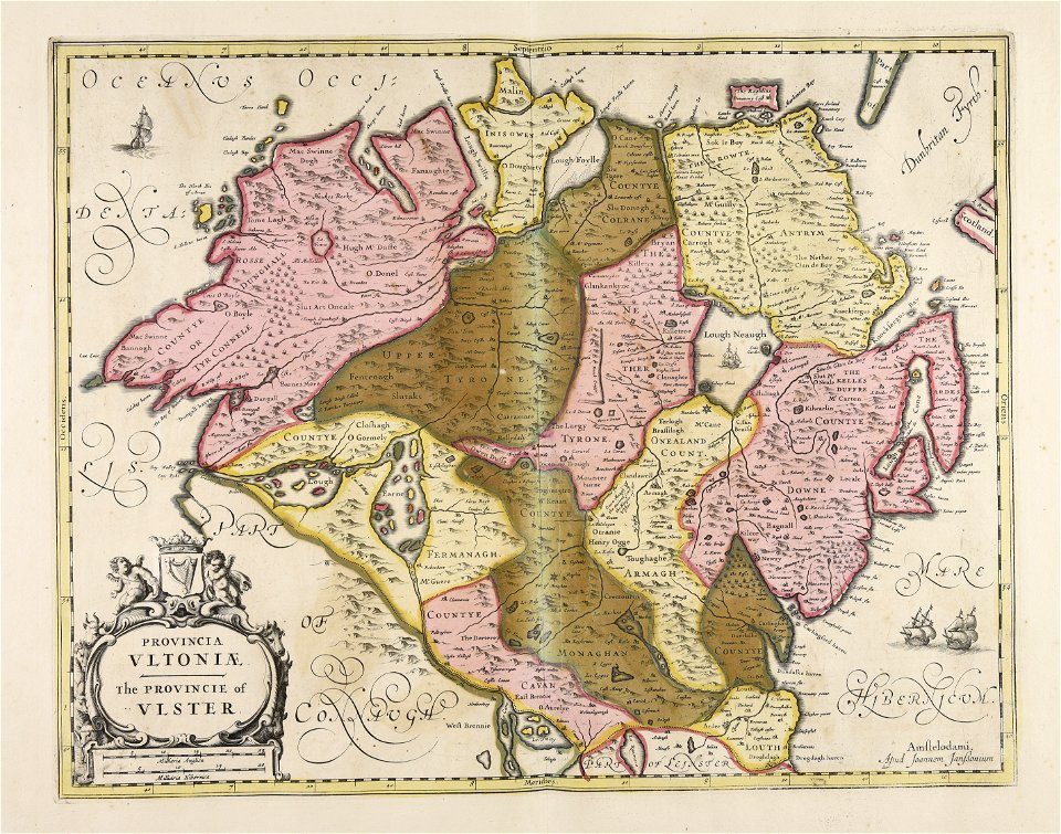
ulster
atlantis magni tomus quintus (biblioteca comunale di trento)
maps made in the 17th century
maps made in the 18th century
gerard valck
atlantis magni tomus tertius (biblioteca comunale di trento)
maps made in the 17th century
maps made in the 17th century
jan janssonius
atlantis magni tomus quintus (biblioteca comunale di trento)
maps made in the 18th century
maps made in the 17th century
jan janssonius
maps made in the 17th century
jan janssonius
maps made in the 17th century
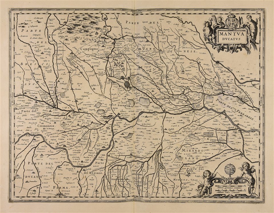
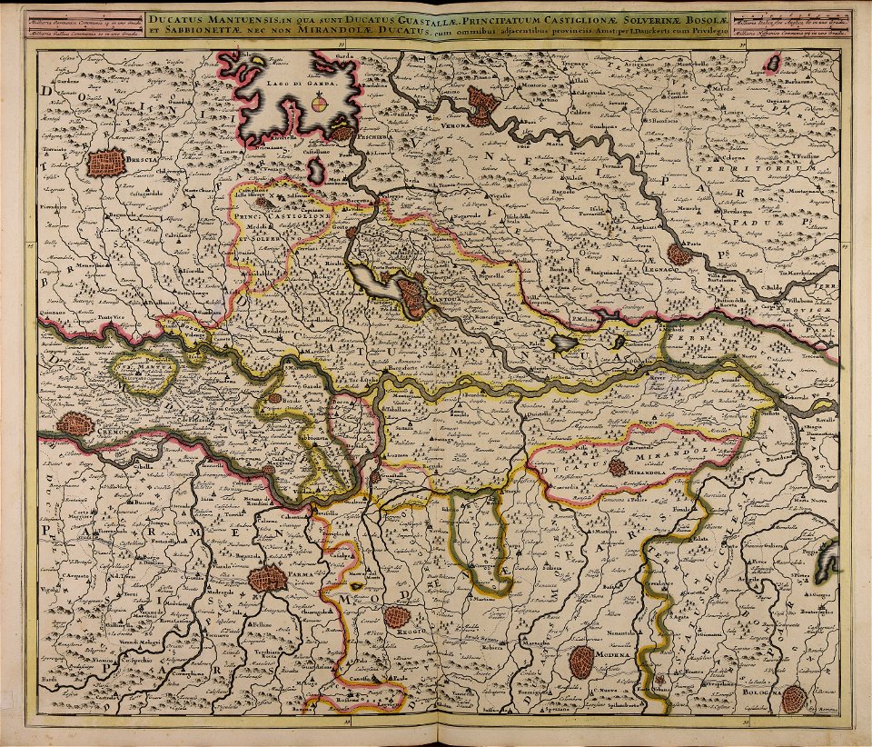
lake garda
atlantis magni tomus primus (biblioteca comunale di trento)
johann baptist homann
maps made in the 18th century
gerard valck
maps made in the 17th century
nicolaes visscher ii
maps made in the 17th century
maps by nicolaes visscher i
maps made in the 17th century
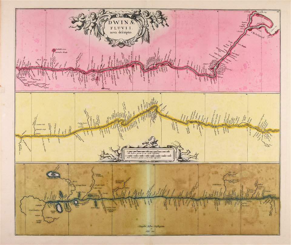
severnaya dvina river
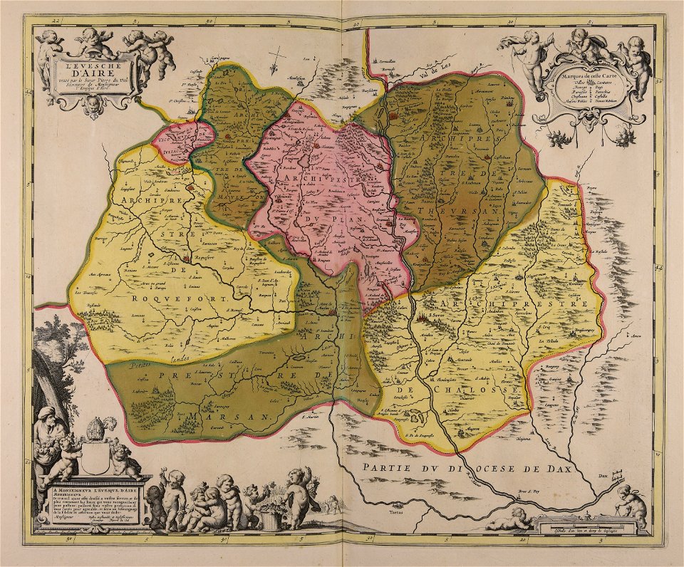
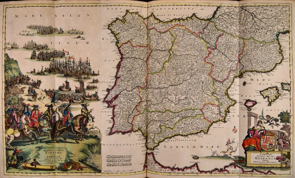
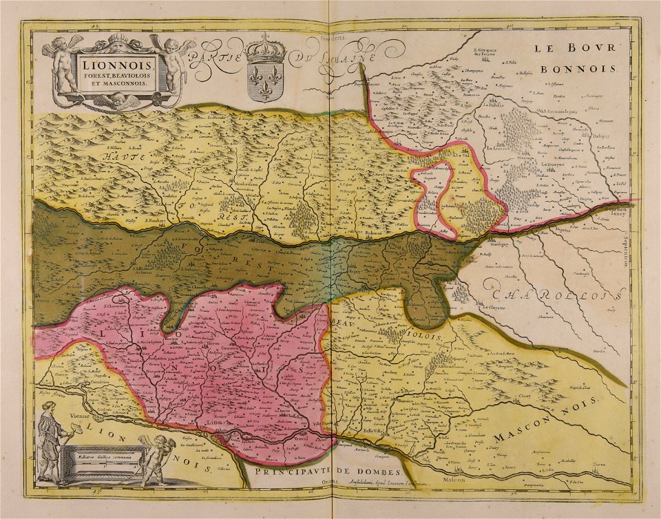
1640s maps of france
jan janssonius
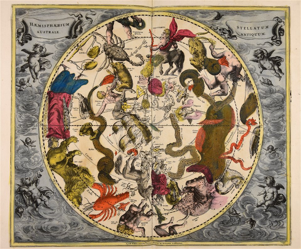
cellarius harmonia macrocosmica
gerard valck
maps made in the 17th century
nicolaes visscher ii
atlantis magni tomus secundus (biblioteca comunale di trento)
maps made in the 17th century
atlantis magni tomus primus (biblioteca comunale di trento)
17th-century maps of denmark
atlantis magni tomus quartus (biblioteca comunale di trento)
maps made in the 17th century
maps made in the 17th century
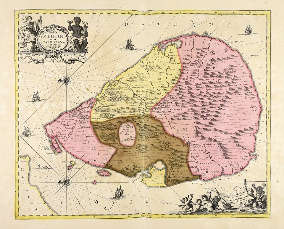
sri lanka
atlantis magni tomus primus (biblioteca comunale di trento)
maps made in the 17th century
atlantis magni tomus tertius (biblioteca comunale di trento)
maps made in the 17th century
maps made in the 17th century
nicolaes visscher ii
maps made in the 17th century
jan janssonius
maps made in the 17th century
jan janssonius
maps made in the 18th century
johann baptist homann
atlantis magni tomus tertius (biblioteca comunale di trento)
johann baptist homann
maps made in the 18th century
johann baptist homann
maps made in the 17th century
jan janssonius
maps made in the 17th century
jan janssonius
maps made in the 18th century
gerard valck
18th-century prints
veduta
maps made in the 17th century
frederick de wit
maps made in the 17th century
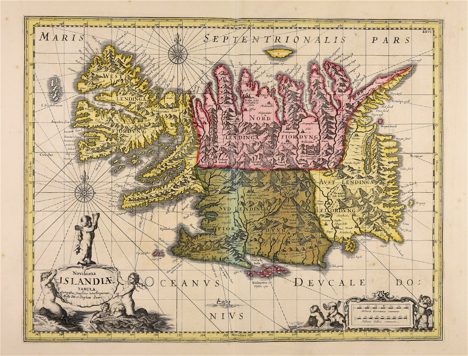
old maps of iceland
atlantis magni tomus primus (biblioteca comunale di trento)
maps made in the 17th century
cellarius harmonia macrocosmica
gerard valck
maps made in the 18th century
gerard valck
gerard valck
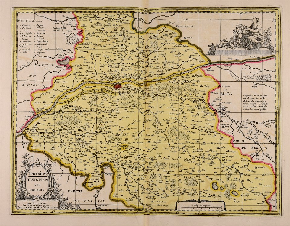
touraine
maps made in the 17th century
gerard valck
1 - 100 of 752
Next page
/ 8