Log in
All resources
Create a design
23 Free Artworks of 17th Century Maps Of Denmark
cartography
engraving
chalcography
dinamarca
grabados
libros del siglo xvii
fondo antiguo
calcografía
cartografía
17th century books
the voyage of the vega round asia and europe
third voyage of willem barentsz
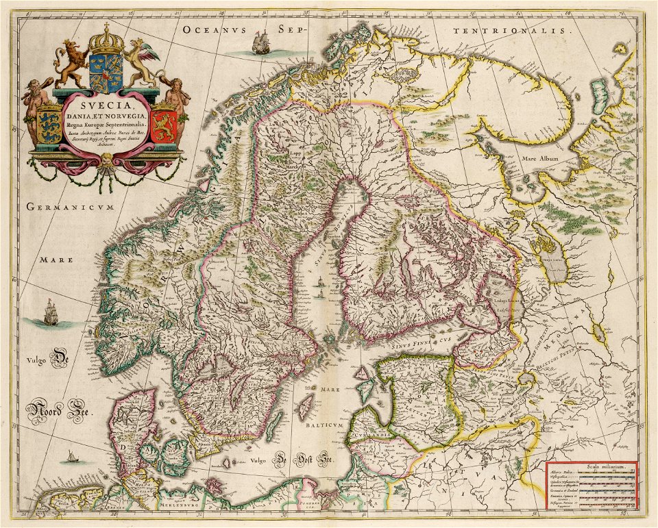
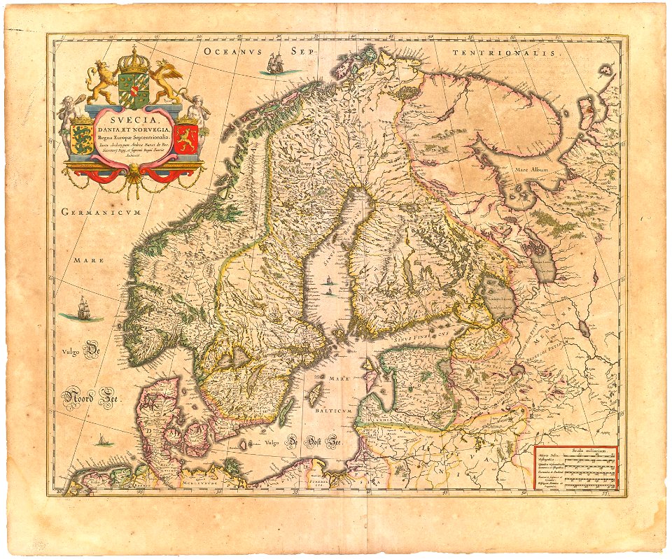
maps by willem and johannes blaeu
copper engraving
atlantis magni tomus primus (biblioteca comunale di trento)
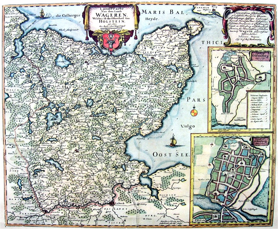
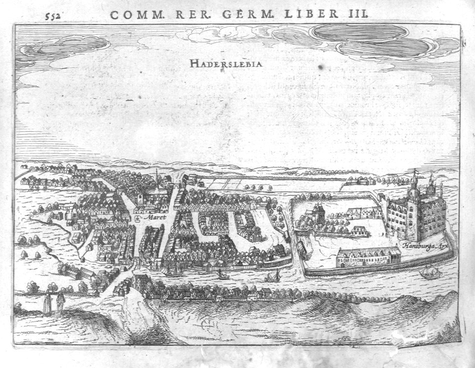
17th-century maps of schleswig-holstein
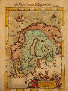
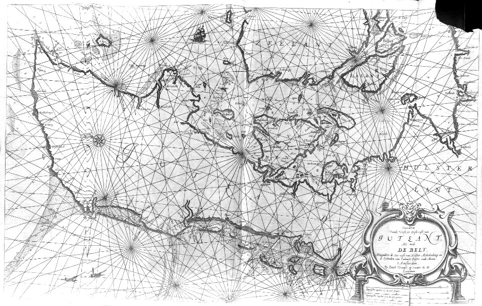
17th-century maps of finland
description de l'universe
historical coats of arms of denmark
royal coats of arms of sweden
coat of arms of germany
1642 maps of croatia
maps by willem and johannes blaeu
kreis plön
atlantis magni tomus primus (biblioteca comunale di trento)
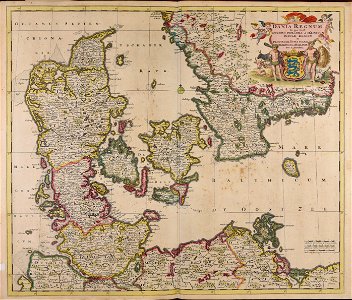
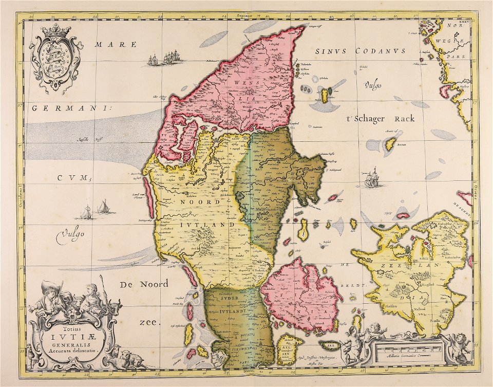
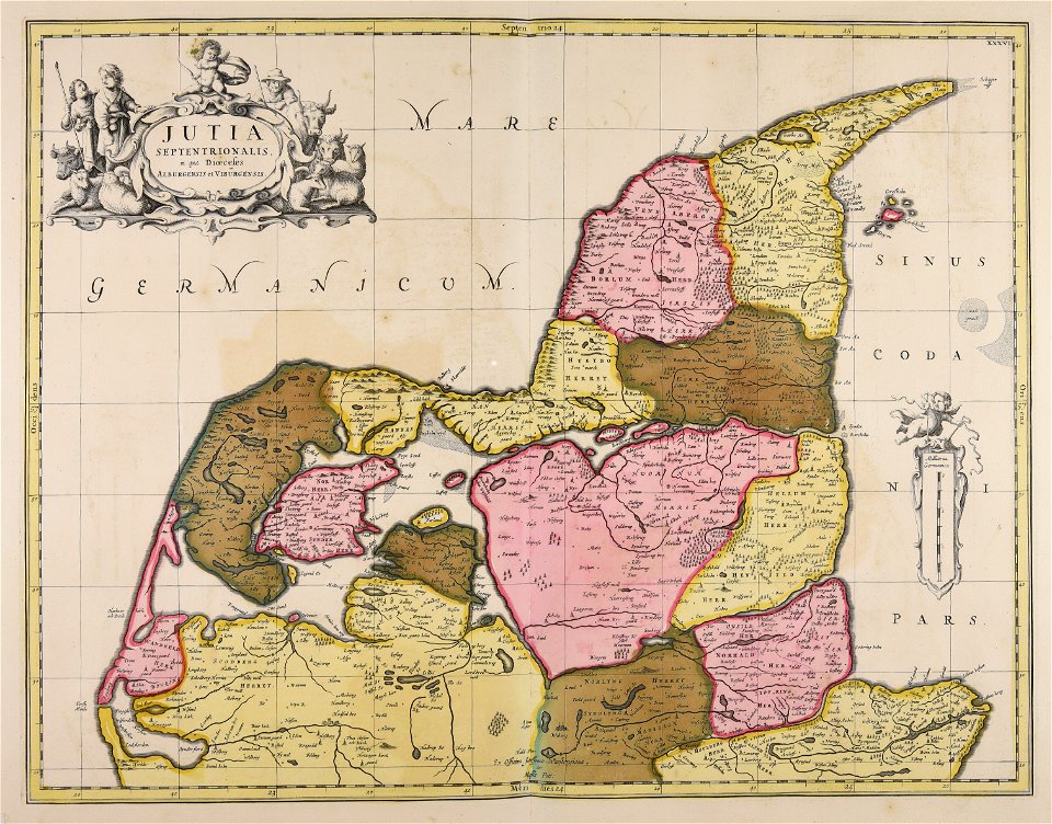
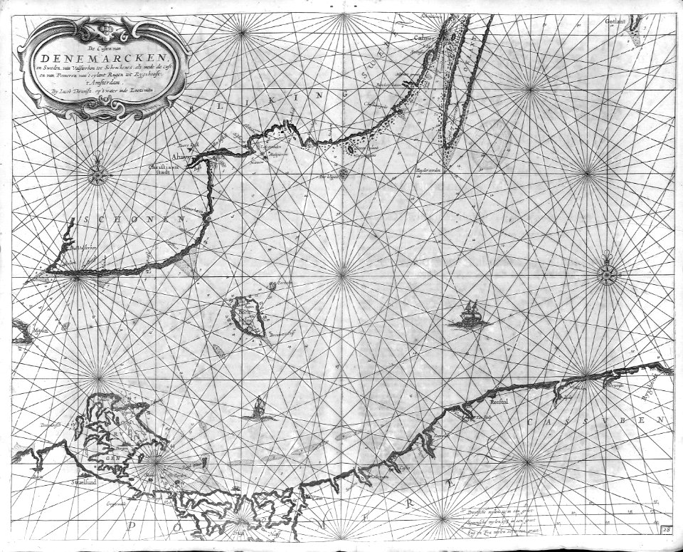
17th-century maps of denmark
atlantis magni tomus primus (biblioteca comunale di trento)
17th-century maps of denmark
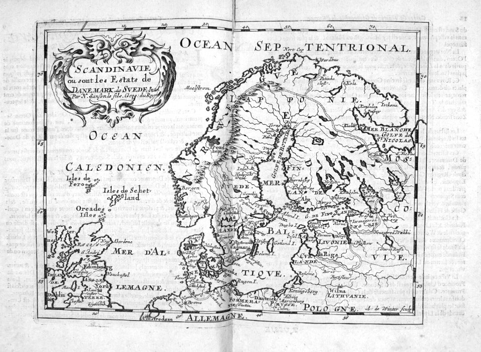
17th-century maps of sweden
1660s maps of norway
17th-century maps of denmark
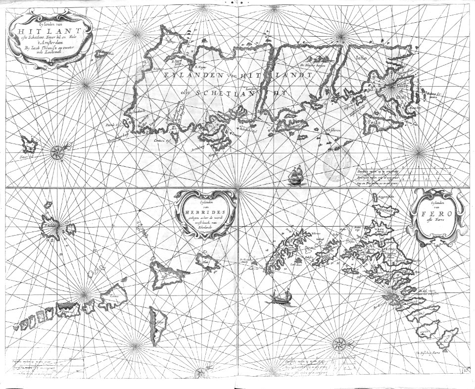
old maps of seas
atlas maior, vol 1 (northern europe, norway, and denmark) - joan blaeu, 1667 - bl 114.h(star).1
1667 maps
atlas maior, vol 1 (northern europe, norway, and denmark) - joan blaeu, 1667 - bl 114.h(star).1
17th-century double hemisphere world maps
atlas maior, vol 1 (northern europe, norway, and denmark) - joan blaeu, 1667 - bl 114.h(star).1
17th-century maps of iceland
maps by matthäus merian
baroque
cartography
maps
cartography
maps
cartography
maps
17th-century maps of the strait of magellan
maps by willem and johannes blaeu
cartography
maps
cartography
maps
cartography
maps
jan diricks van campen
johannes van wick
1 - 23 of 23
/ 1


![Hafnia metropolis et portus celeberrimus Daniae / S. R. M. pictor Iohan[n]es Van Wick pinx[it] et excudebat; Iohan Dircksen scul[psit], Jan Diricks van Campen, 1611](https://cdn.creazilla.com/illustrations/10000713726/hafnia-metropolis-et-portus-celeberrimus-daniae-s-r-m-pictor-iohannes-van-wick-pinxit-et-excudebat-iohan-dircksen-sculpsit-jan-diricks-van-campen-1611-md.jpg)