Log in
All resources
Create a design
31 Free Artworks of 19th Century Maps Of Germany
maps by john cary
john cary
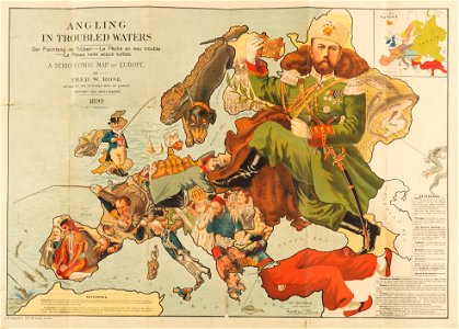
personifications of nations
19th-century satirical maps
fred. w. rose
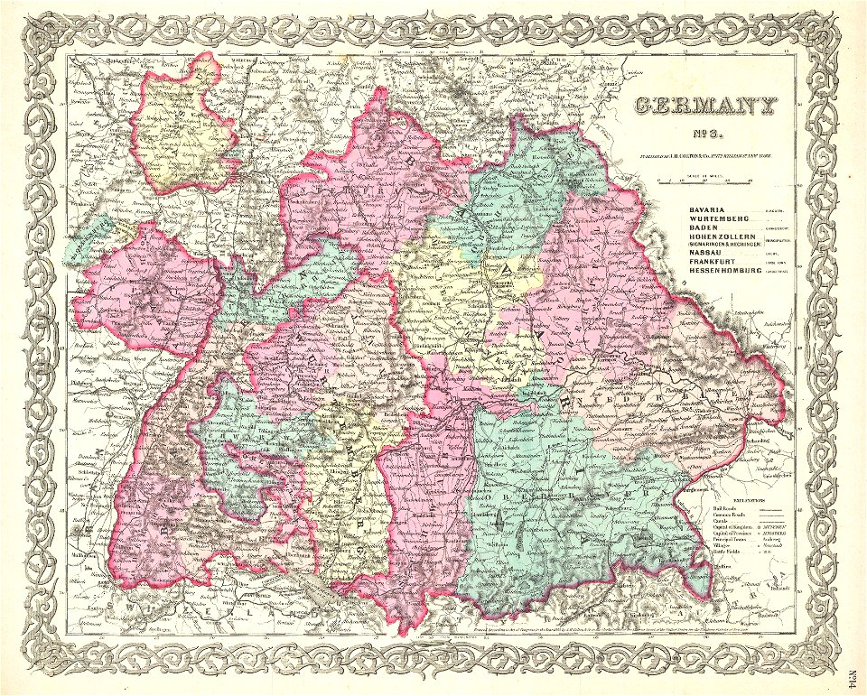
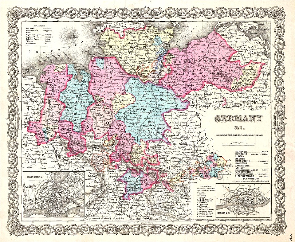
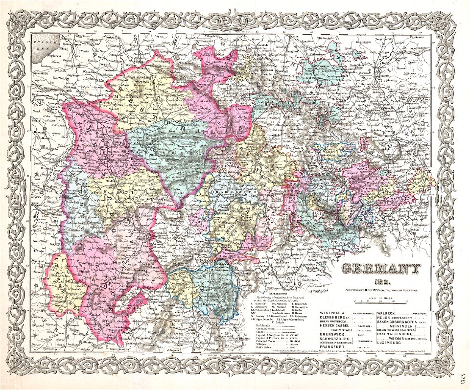
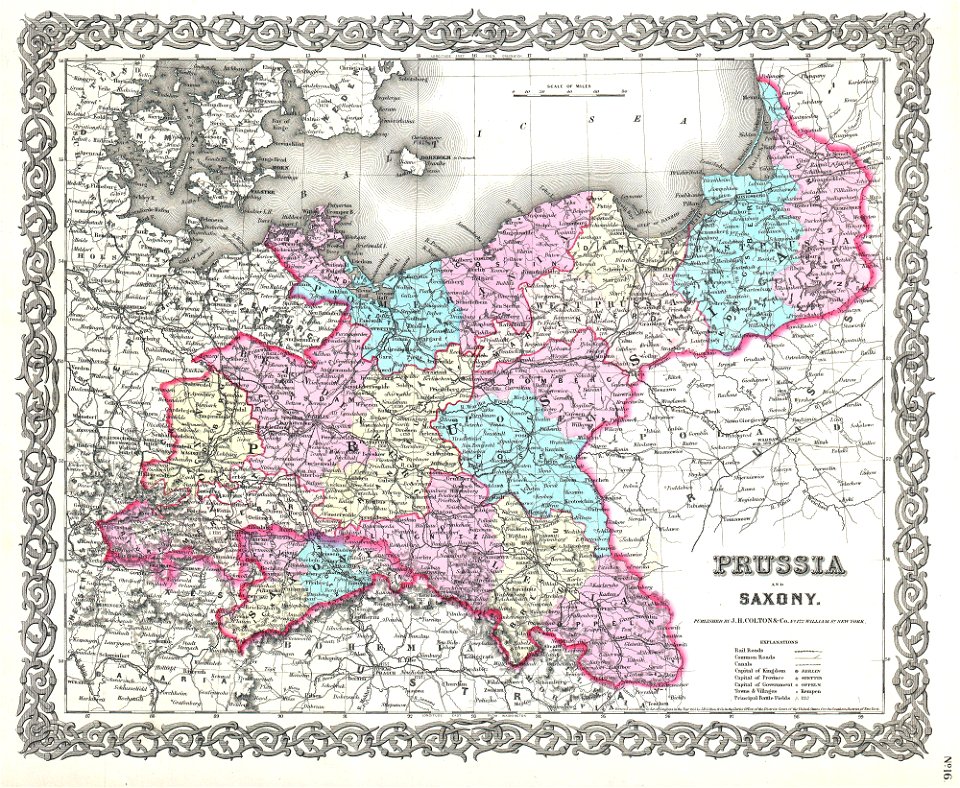
maps by joseph hutchins colton
old maps of poland
1799 maps
1855 maps
english-language maps of europe
old maps of rhineland-palatinate
old maps of hesse
19th-century maps of lower saxony
old maps of mecklenburg
maps by joseph hutchins colton
1855 maps
19th-century maps of bavaria
1814 maps
old maps of poland
1865 maps
old maps of saxony
1856 maps
caricatures of wilhelm ii of germany
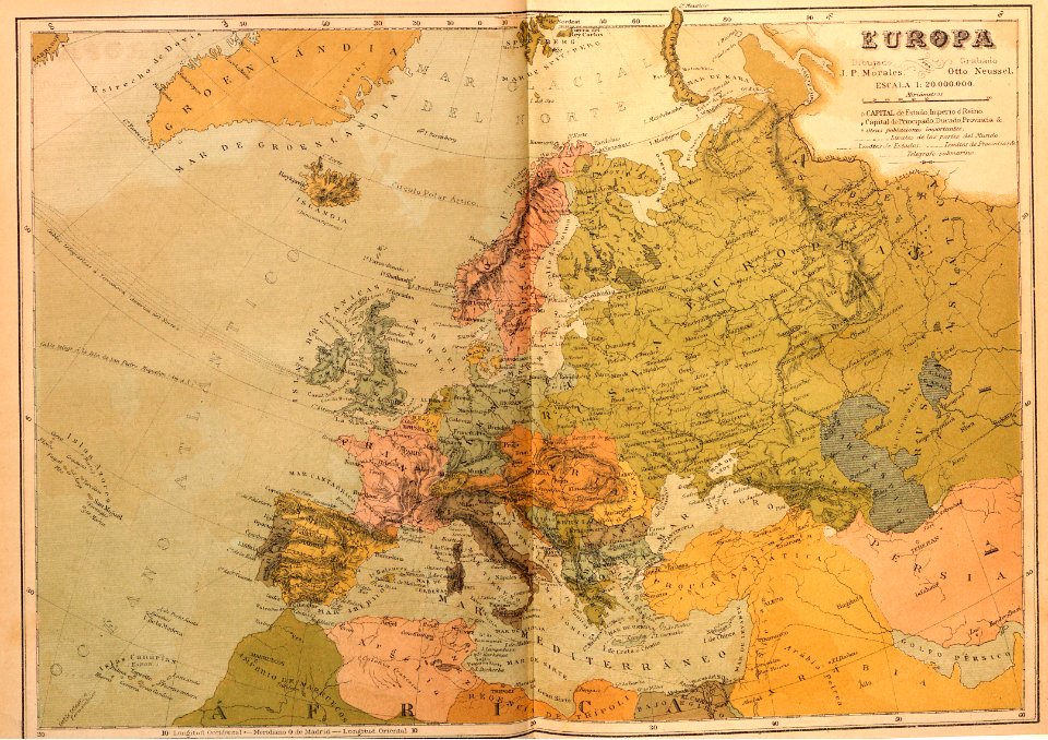
19th-century maps of europe
19th-century portrait paintings in germany
19th-century sailing ships in paintings
caricatures of wilhelm ii of germany
cornell university library
19th-century satirical maps
1899 maps of europe
alexander von humboldt
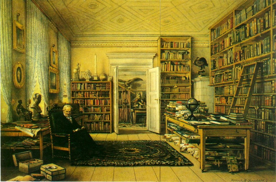
1840s interiors in art
russo-turkish war (1877–1878) in art
great eastern crisis (1875–78)
russo-turkish war (1877–1878) in art
great eastern crisis (1875–78)
peter schwingen
peter de weerth
peter schwingen
peter de weerth
maps, prints and photographs in royal danish library
old maps of kiel
maps by john cary
1799 maps
karl ii zu schwarzenberg
eugen adam
maps by john cary
1801 maps
russo-turkish war (1877–1878) in art
great eastern crisis (1875–78)
1801 maps of germany
maps by john cary
kaiserdom st. bartholomäus in the 19th century
maps of frankfurt-innenstadt
1804 maps of europe
maps by john cary
maps by john cary
1799 maps
maps by john cary
1799 maps
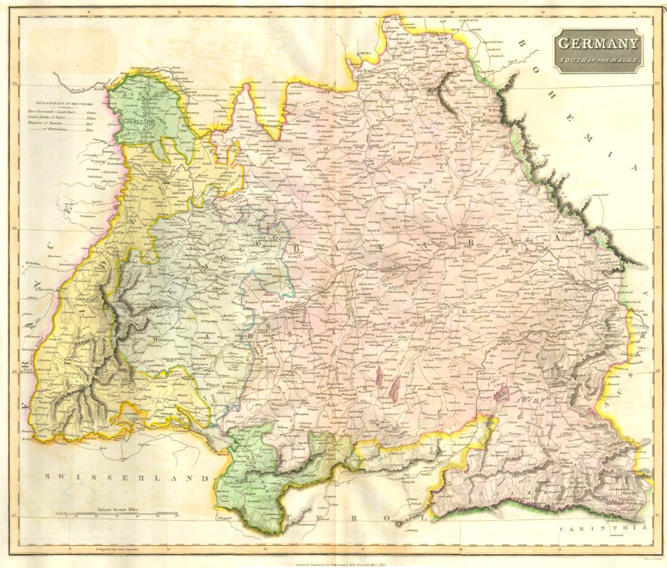
old maps of swabia
maps by john cary
a system of modern geography (1810)
1810 maps of germany
géographie générale; physique, politique et économique (1876)
19th-century maps of pomerania
maps of territories in the lower saxony circle
maps by john cary
travel
maps
maps in the rijksmuseum amsterdam
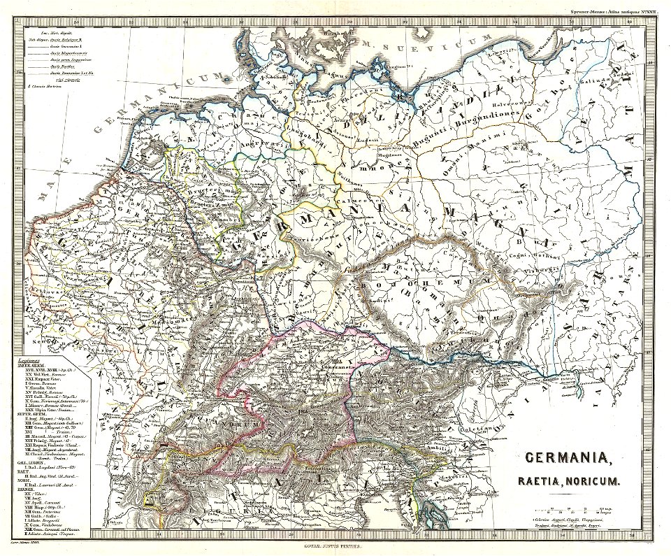
19th-century maps of germany
1 - 31 of 31
/ 1