Log in
All resources
Create a design
19 Free Artworks of 18th Century Maps Showing History
johann baptist homann
maps showing 18th-century history
18th-century maps of puerto rico
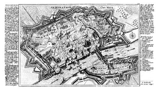
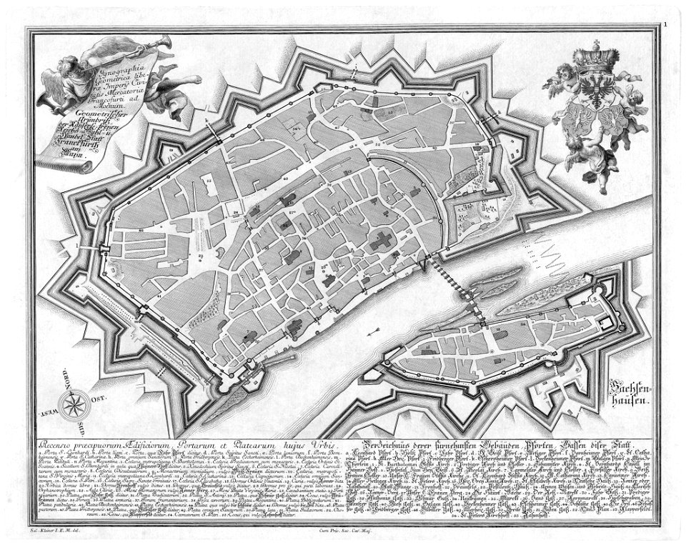
maps of frankfurt am main showing 18th-century history
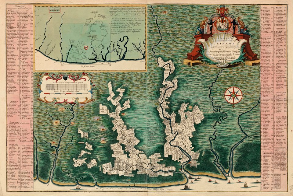
maps in the rijksmuseum amsterdam
corfu
maps made in the 18th century
atlantis magni tomus quintus (biblioteca comunale di trento)
assedio. 1716
maps by tomas lopez
18th-century maps of puerto rico
18th-century maps of cuba
maps showing 18th-century history
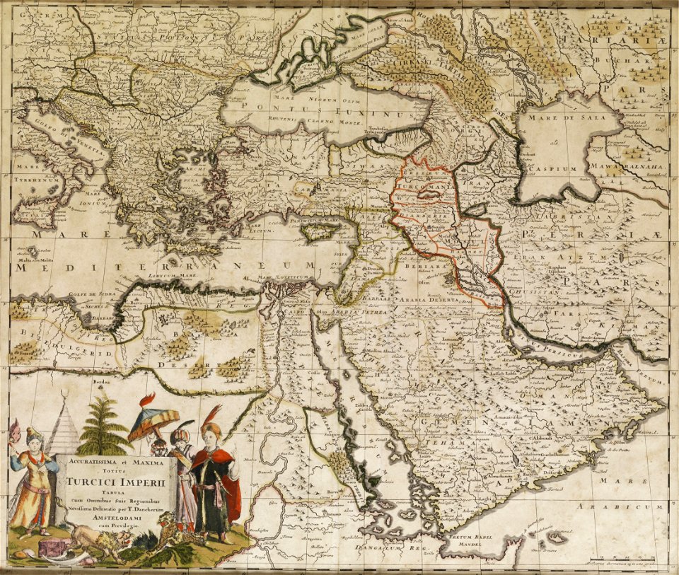
old maps of the ottoman empire
city walls of frankfurt am main
gabriel bodenehr
dutch 18th-century prints in the rijksmuseum amsterdam
hendrik de leth
maps showing history
corfu
maps showing history
corfu
maps of frankfurt am main showing 18th-century history
das florirende franckfurth am mayn
historisk atlas (stockholm, norstedt & söner, 1880)
old maps of the polish-lithuanian commonwealth
maps by alexis-hubert jaillot
1730s maps of france
maps of san juan, puerto rico
san juan bay, puerto rico
18th-century maps of new orleans
maps in the library of congress
antoine-françois tardieu
maps from gallica
maps by nicolaes visscher i
old maps of assyria
maps of the history of morocco
empire of morocco
danubius pannonico-mysicus
luigi ferdinando marsigli
theatrum historium ad annum christi quadringentesinum by guillaume delisle (1705)
18th-century maps showing history
maps in the rijksmuseum amsterdam
18th-century maps showing history
maps by jakob van der schley
history of hormuz island
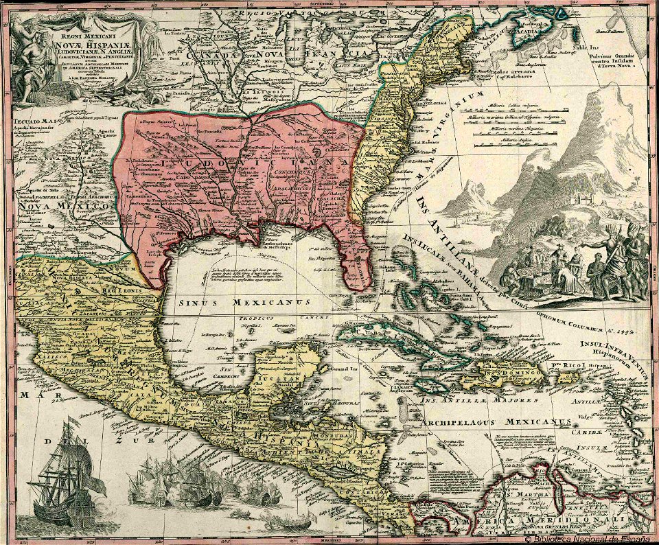
1779 maps of the united states
1770s maps of the caribbean
1 - 19 of 19
/ 1