Log in
All resources
Create a design
45 Free Artworks of 17th Century Maps Of Spain
bibliothèque nationale de france
engraving
cartography
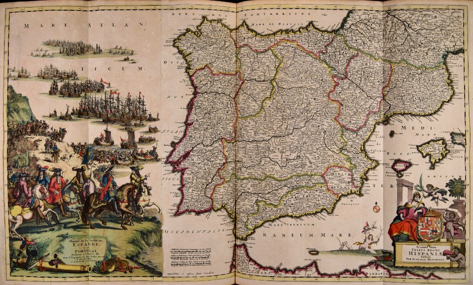
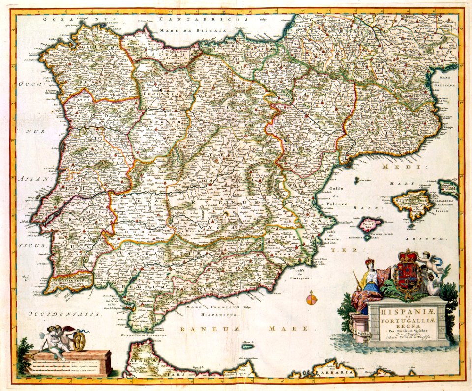
españa
chalcography
fondo antiguo
calcografía
cartografía
description de l'universe
alain manesson mallet
maps made in the 17th century
cornelis danckerts (i)
prints in the royal collection of the united kingdom
maps of battles of the thirty years' war
maps in the library of congress
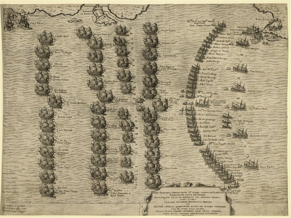
sailing ships of spain
atlantis magni tomus quartus (biblioteca comunale di trento)
maps made in the 17th century
maps with cartouches
atlas van der hagen
old maps of the iberian peninsula
nicolaes visscher ii
pictorial maps
barbados
dutch paintings in the museo thyssen-bornemisza
genre paintings by nicolaes maes
democritus by velazquez
baroque
borders of andorra-france
maps of borders of spain
spain in the 1640s
1640
old maps of cádiz
1664 maps
maps by jodocus hondius
1610 maps of europe
atlas maior, vol 10 (spain and africa) - joan blaeu, 1667 - bl 114.h(star).10
1667 maps
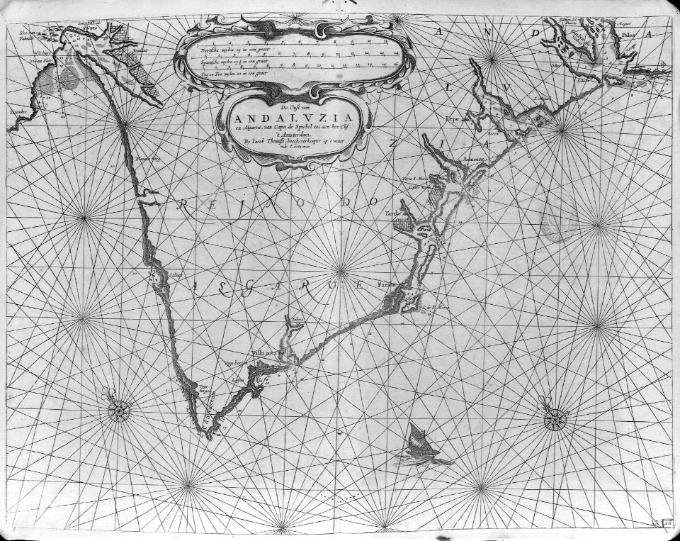
17th-century maps of andalusia
old maps of the alboran sea
engravings by israël silvestre
spain in the 17th century
maps of galicia by mercator-hondius
1619 maps
1660s maps of spain
1667 maps
1660s maps of spain
1667 maps
maps by pieter van der keere
ships on maps
maps of barcelona by braun & hogenberg
1645 in andalusia
17th-century maps of trinidad and tobago
animals on maps
17th-century maps of the iberian peninsula
description de l'universe
coats of arms of the kingdom of navarre
coats of arms of the crown of aragon
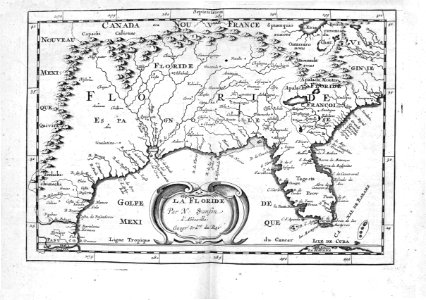
17th-century maps of mexico
maps by gerard valck
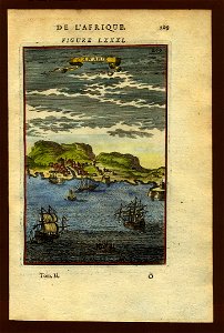
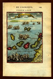
17th-century maps of africa
maps from gallica
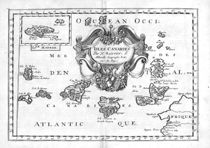
17th-century maps of the canary islands
description de l'universe
toledo, spain in the 17th century
old maps of toledo, spain
old maps of the stations of the exodus
1650s maps of palestine
maps of ardales by braun & hogenberg
17th-century engravings of towns
description de l'universe
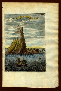
tenerife in art
17th-century maps of paraguay
1668 maps of south america
description de l'universe
tenerife in art
cartography
maps
cartography
maps
canary islands in the 17th century
description de l'universe
cartography
maps
canary islands in the 17th century
description de l'universe
maps of barcelona by braun & hogenberg
barcelona in the 17th century
cartography
maps
daniel de la feuille
1708 maps
cartography
maps
17th-century maps of the mediterranean sea
portolan charts made in the 17th century
cartography
maps
maps
sea
1 - 45 of 45
/ 1


![Paraguay taken from the most recent reports / by G[uillaume] Sanson, 1668](https://cdn.creazilla.com/illustrations/10000773533/paraguay-taken-from-the-most-recent-reports-by-g-uillaume-sanson-1668-md.jpg)