Log in
All resources
Create a design
19 Free Artworks of 17th Century Maps Of Mexico
cartography
engraving
méxico
chalcography
grabados
fondo antiguo
calcografía
cartografía
cartografía, mapas | cartography, maps
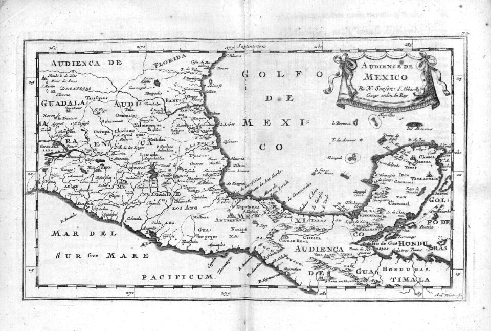
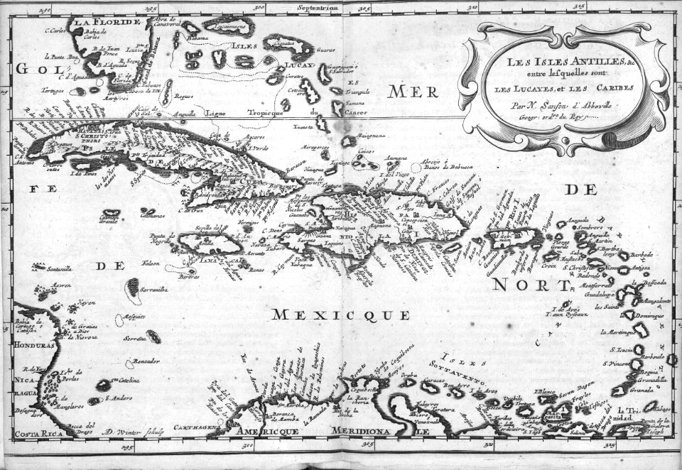
nicolas sanson
maps by nicolas sanson
northern michigan
jan karel donatus van beecq
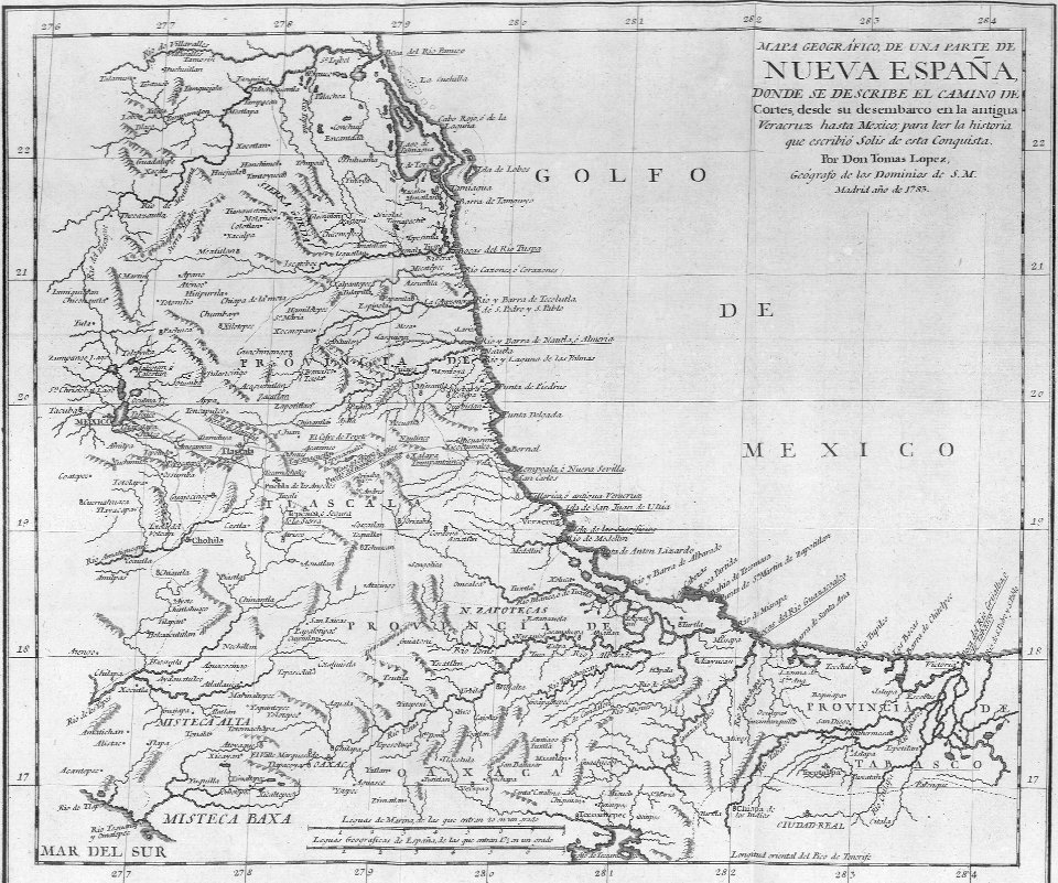
hernán cortés
17th-century maps of central america
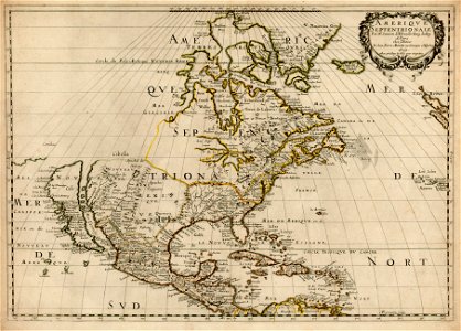
description de l'universe
18th-century maps of north america
1708 maps of north america
mexico
maps
mexico
maps
history
maps
17th-century maps of mexico
maps by gerard valck
mexico
maps
atlas maior, vol 12 (america) - joan blaeu, 1667 - bl 114.h(star).12
1667 maps of north america
history
maps
atlas ou representation du monde universel t. 2 (1633)
maps by hendrik hondius the younger
mappe-monde geo-hydrographique (sanson and jaillot, 1674)
cartography of france
1650s maps of the americas
1658 maps
1696 maps of the caribbean
1690s maps of mexico
mappe-monde geo-hydrographique (sanson and jaillot, 1674)
18th-century double hemisphere world maps
1730s maps of the world
18th-century double hemisphere world maps
1730s maps of the world
geocentric model
1730 maps
1 - 19 of 19
/ 1


![Gerardi Mercatoris and I. Hondii Atlas or Representation of the Universal World, and of the Parts of It, Made in Tables and Very Ample Descriptions. [t. 2].](https://cdn.creazilla.com/illustrations/10001307107/gerardi-mercatoris-and-i-hondii-atlas-or-representation-of-the-universal-world-and-of-the-parts-of-it-made-in-tables-and-very-ample-descriptions-t-2-sm.webp)


