Log in
All resources
Create a design
34 Free Artworks of 17th Century Maps Of Russia
joan blaeu
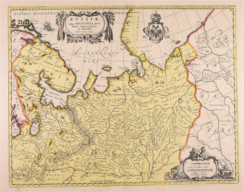
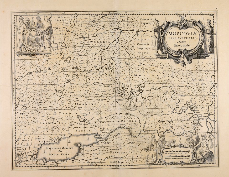
atlas maior, vol 2 (sweden, russia, poland, eastern europe, and greece) - joan blaeu, 1667 - bl 114.h(star).2
copper engraving print
british library
maps by willem and johannes blaeu
ships on maps
17th-century maps of moscow
bibliothèque nationale de france
cartography
engraving
the voyage of the vega round asia and europe
third voyage of willem barentsz
17th-century maps of georgia
old maps of turkey
atlantis magni tomus primus (biblioteca comunale di trento)
maps made in the 17th century
atlantis magni tomus primus (biblioteca comunale di trento)
maps made in the 17th century
17th-century maps of estonia
old maps of latvia
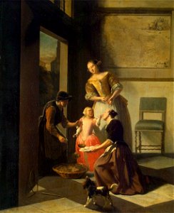
dutch paintings in the hermitage
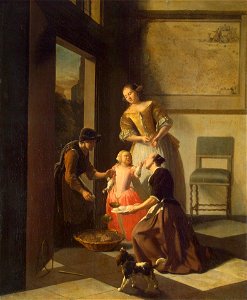
jacob ochtervelt
17th-century paintings in the hermitage
jacob ochtervelt
17th-century maps of moscow
maps of the moscow kremlin
details of sigismund's map of moscow
17th-century people of russia
1640s maps of the tsardom of russia
17th-century maps of circassia
maps by nicolaes visscher i
17th-century maps of russia
atlas maior, vol 2 (sweden, russia, poland, eastern europe, and greece) - joan blaeu, 1667 - bl 114.h(star).2
17th-century maps of estonia
atlas maior, vol 2 (sweden, russia, poland, eastern europe, and greece) - joan blaeu, 1667 - bl 114.h(star).2
17th-century maps of scandinavia
atlas maior, vol 2 (sweden, russia, poland, eastern europe, and greece) - joan blaeu, 1667 - bl 114.h(star).2
17th-century maps of finland
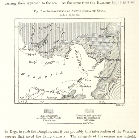
maps from the earth and its inhabitants, vol. vii
russian conquest of siberia
maps by willem and johannes blaeu
17th-century maps of moscow
atlas maior, vol 2 (sweden, russia, poland, eastern europe, and greece) - joan blaeu, 1667 - bl 114.h(star).2
17th-century maps of scandinavia
17th-century maps of moscow
baroque
17th-century maps of tartary
17th-century maps of siberia
maps by willem and johannes blaeu
1635 maps of ukraine
maps by willem and johannes blaeu
1635 maps
atlas maior, vol 2 (sweden, russia, poland, eastern europe, and greece) - joan blaeu, 1667 - bl 114.h(star).2
17th-century maps of prussia
atlas maior, vol 2 (sweden, russia, poland, eastern europe, and greece) - joan blaeu, 1667 - bl 114.h(star).2
17th-century maps of greece
cartography
maps
atlas maior, vol 2 (sweden, russia, poland, eastern europe, and greece) - joan blaeu, 1667 - bl 114.h(star).2
17th-century maps of romania
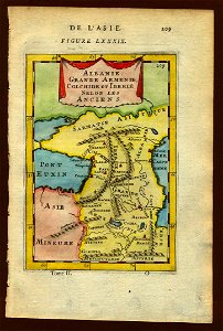
asia noviter delineata
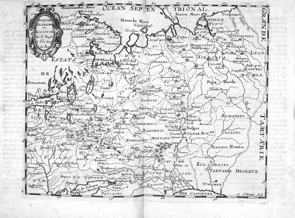
muscovy
atlas maior, vol 2 (sweden, russia, poland, eastern europe, and greece) - joan blaeu, 1667 - bl 114.h(star).2
17th-century maps of the aegean sea
atlas maior, vol 2 (sweden, russia, poland, eastern europe, and greece) - joan blaeu, 1667 - bl 114.h(star).2
17th-century maps of poland
atlas maior, vol 2 (sweden, russia, poland, eastern europe, and greece) - joan blaeu, 1667 - bl 114.h(star).2
17th-century maps of the aegean sea
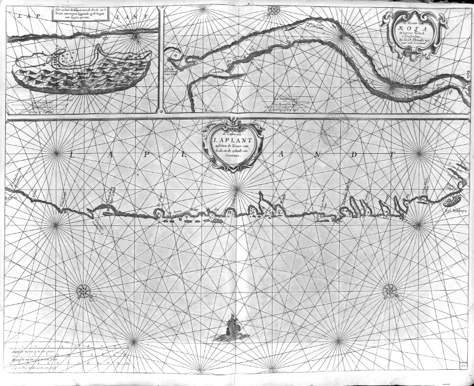
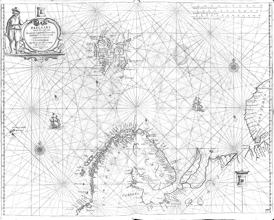
maps of novaya zemlya
1590s maps
cartography
maps
cartography
maps
bibliothèque nationale de france
joachim ottens
paintings by bonaventura peeters (i) in the national maritime museum, london
flemish baroque painting
1 - 34 of 34
/ 1