Log in
All resources
Create a design
23 Free Artworks of 17th Century Maps Of Greece
atlas maior, vol 2 (sweden, russia, poland, eastern europe, and greece) - joan blaeu, 1667 - bl 114.h(star).2
copper engraving print
british library
joan blaeu
bibliothèque nationale de france
marco boschini
old maps of candia
17th-century maps of crete
17th-century maps of the aegean sea
maps of ports and fortresses of the mediterranean by marco boschini (1651)
maps by nicolaes visscher i
old maps of greece
heraklion venetian walls
1651 in candia
17th-century maps of the aegean sea
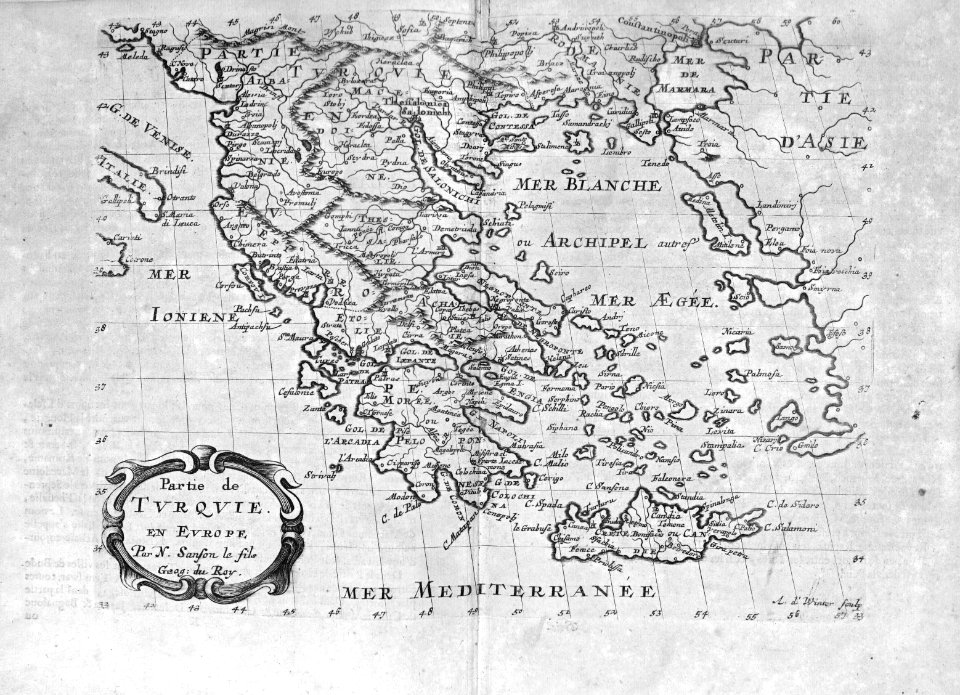
17th-century maps of greece
atlas maior, vol 2 (sweden, russia, poland, eastern europe, and greece) - joan blaeu, 1667 - bl 114.h(star).2
17th-century maps of estonia
1670s maps of greece
guillaume sanson
atlas maior, vol 2 (sweden, russia, poland, eastern europe, and greece) - joan blaeu, 1667 - bl 114.h(star).2
17th-century maps of scandinavia
atlas maior, vol 2 (sweden, russia, poland, eastern europe, and greece) - joan blaeu, 1667 - bl 114.h(star).2
17th-century maps of greece
atlas maior, vol 2 (sweden, russia, poland, eastern europe, and greece) - joan blaeu, 1667 - bl 114.h(star).2
17th-century maps of finland
17th-century maps of crete
old maps of candia
1640s maps of greece
marco boschini
atlas maior, vol 2 (sweden, russia, poland, eastern europe, and greece) - joan blaeu, 1667 - bl 114.h(star).2
17th-century maps of scandinavia
atlas maior, vol 2 (sweden, russia, poland, eastern europe, and greece) - joan blaeu, 1667 - bl 114.h(star).2
17th-century maps of prussia
atlas maior, vol 2 (sweden, russia, poland, eastern europe, and greece) - joan blaeu, 1667 - bl 114.h(star).2
17th-century maps of hungary
17th-century maps of crete
old maps of candia
atlas maior, vol 2 (sweden, russia, poland, eastern europe, and greece) - joan blaeu, 1667 - bl 114.h(star).2
17th-century maps of romania
17th-century maps of crete
old maps of candia
maps of ports and fortresses of the mediterranean by marco boschini (1651)
old maps of souda (crete)
maps of the islands of greece by marco boschini (1658)
context files from gallica
atlas maior, vol 2 (sweden, russia, poland, eastern europe, and greece) - joan blaeu, 1667 - bl 114.h(star).2
17th-century maps of poland
atlas maior, vol 2 (sweden, russia, poland, eastern europe, and greece) - joan blaeu, 1667 - bl 114.h(star).2
17th-century maps of the aegean sea
atlas maior, vol 2 (sweden, russia, poland, eastern europe, and greece) - joan blaeu, 1667 - bl 114.h(star).2
17th-century maps of the aegean sea
cartography
maps
philippe de la rué
maps of mysia
1 - 23 of 23
/ 1


![Port and Forte[z]za d[ell]a Suda / by Marco Boschini, Marco Boschini, 1651](https://cdn.creazilla.com/illustrations/10001359456/port-and-fortezza-della-suda-by-marco-boschini-marco-boschini-1651-sm.webp)