Log in
All resources
Create a design
190 Free Artworks of 1780s Maps
prints from bonne atlas de toutes les parties at the peace palace library
bibliothèque nationale de france
claude-marie-françois dien
maps of paris in the 1780s
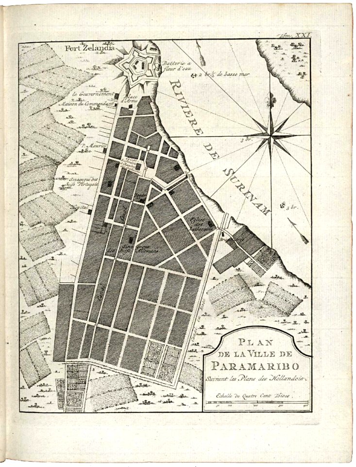
maps of the west-indische compagnie
maps by william faden
maps of spain by tomas lopez
maps in the british museum
john cary
paper
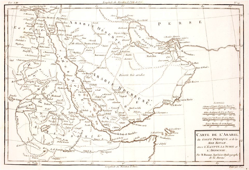
1780 maps of armenia
1780 maps of cyprus
1780 maps of eritrea
1780 maps of egypt
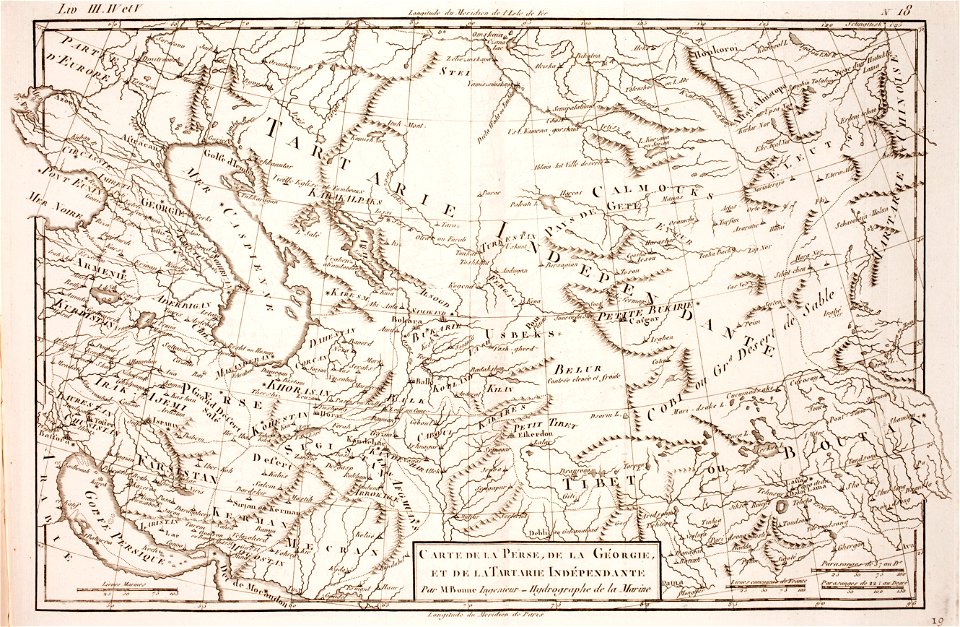
1780 maps of afghanistan
tajikistan
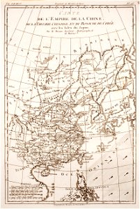
1780 maps of africa
1780 maps of egypt
1780 maps of wisconsin
1780 maps of montana
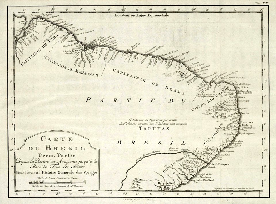
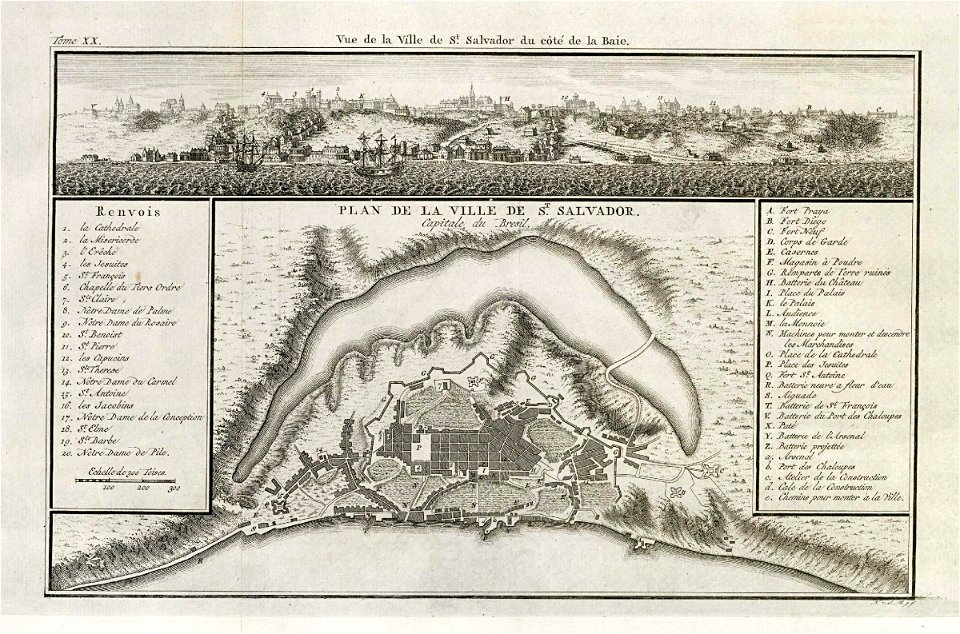
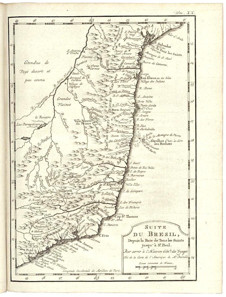
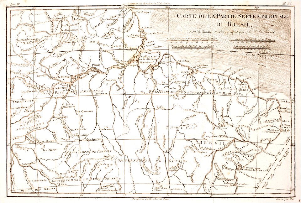
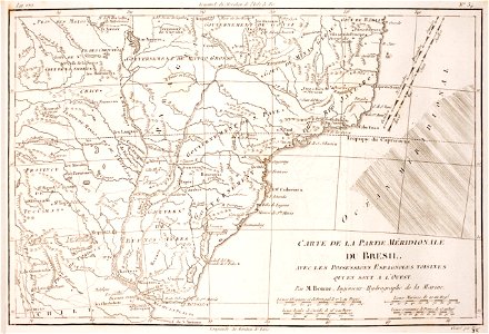
1780 in brazil
1780 maps
1780 maps of finland
1780 maps of norway
18th-century maps of japan
1780 in japan
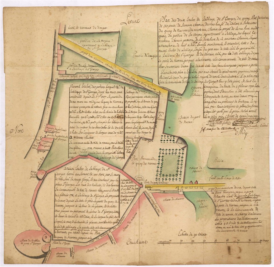
old maps of rennes
1780 maps
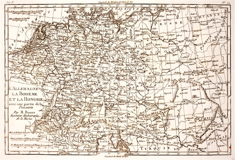
18th-century maps of bohemia
1780 maps of czechia
1780 maps of afghanistan
ganges river
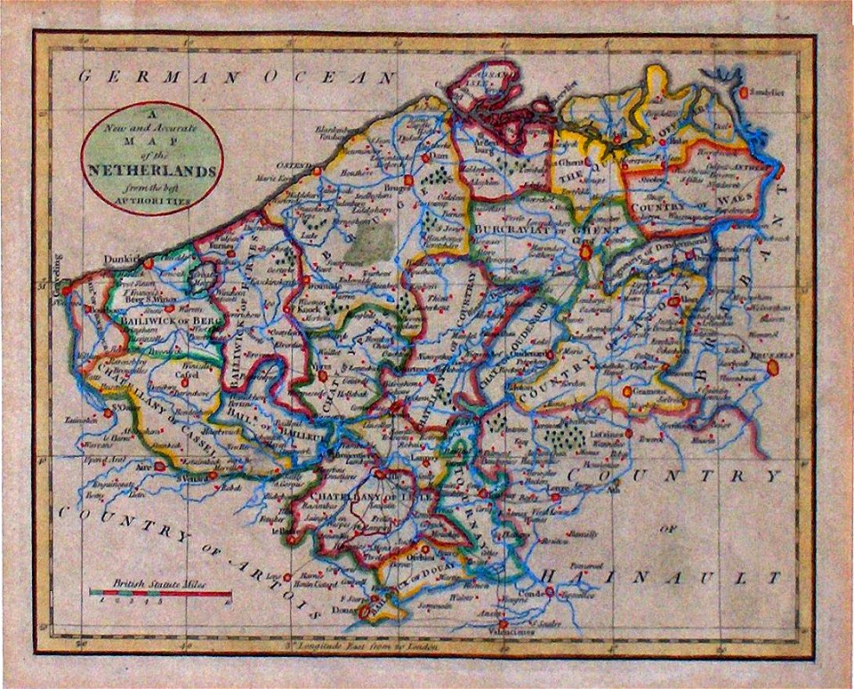
maps of the county of flanders
old maps of flanders
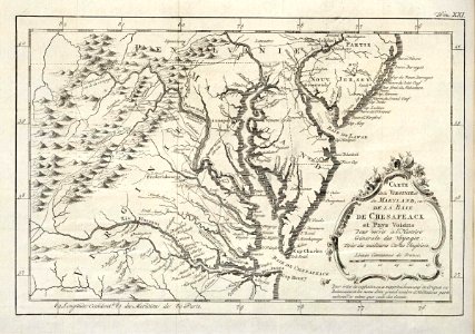
1780 maps of pennsylvania
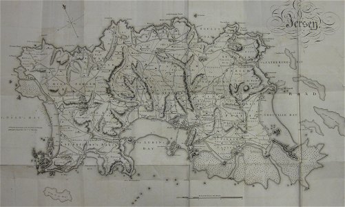
1780 maps of new jersey
old maps of jersey
1780s maps
maps of the west-indische compagnie
1780
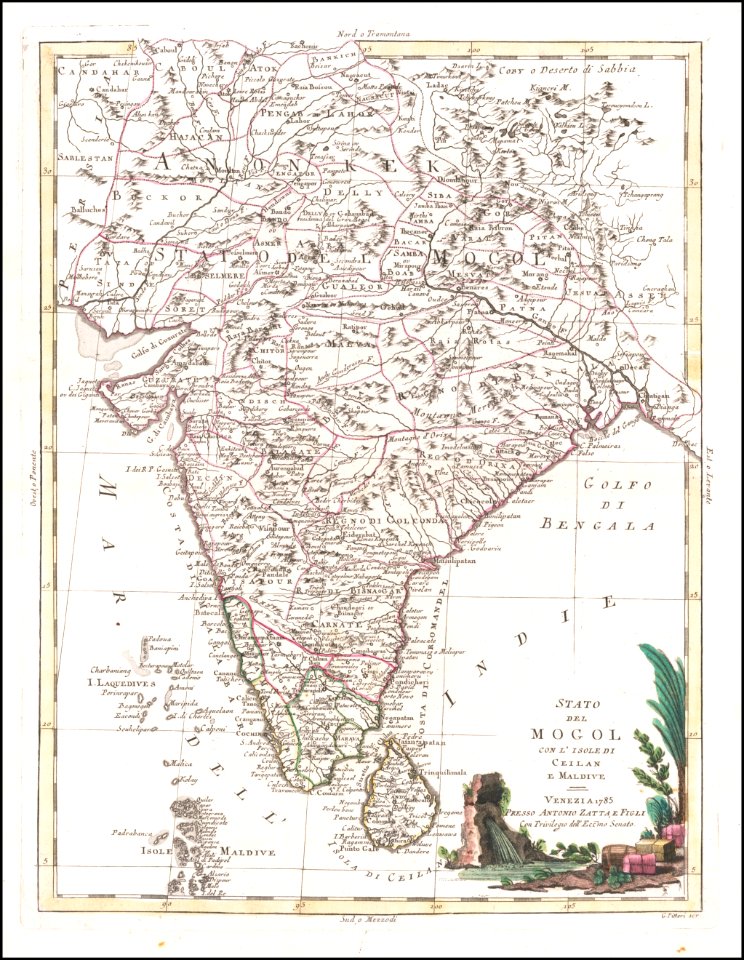
old maps of sri lanka
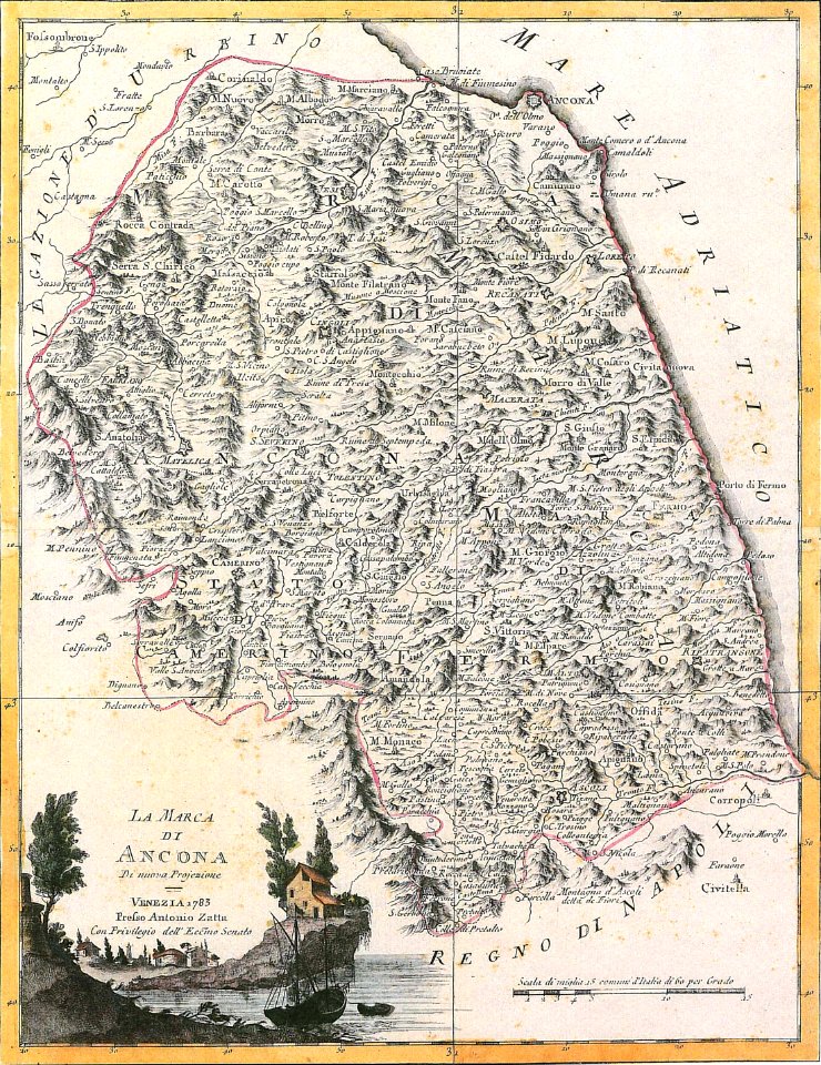
maps by antonio zatta
maps of the west-indische compagnie
1780
david rumsey historical map collection
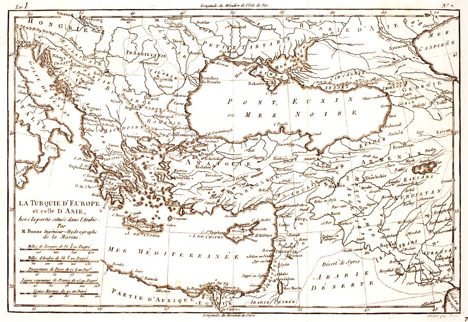
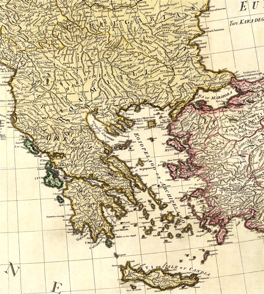
old maps of greece
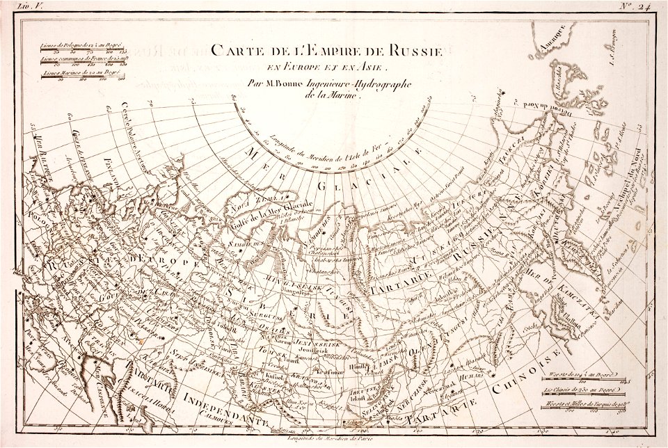
1780 maps of russia
bonne projection
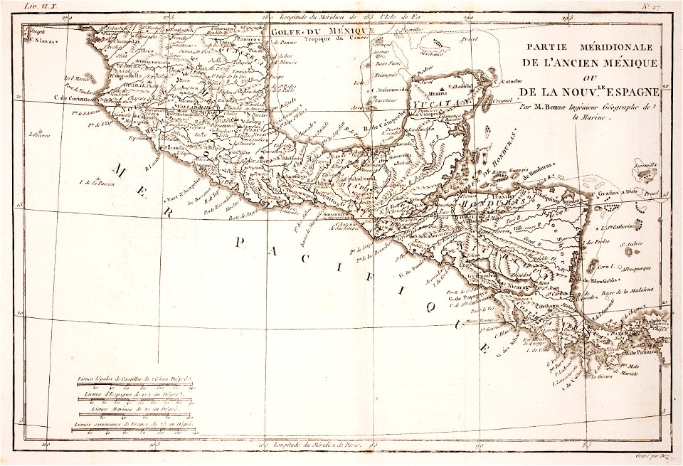
18th-century maps of nicaragua
1780 in central america
david rumsey historical map collection
old maps of greece
maps of the west-indische compagnie
1780
david rumsey historical map collection
old maps of greece
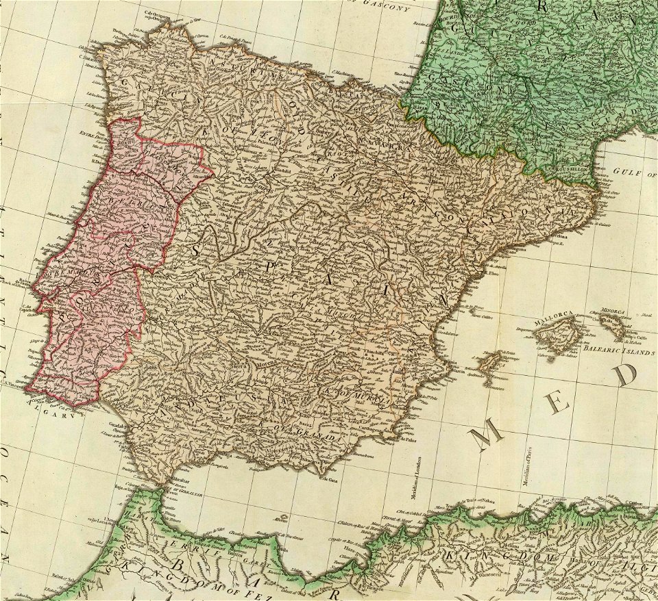
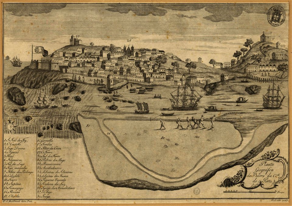
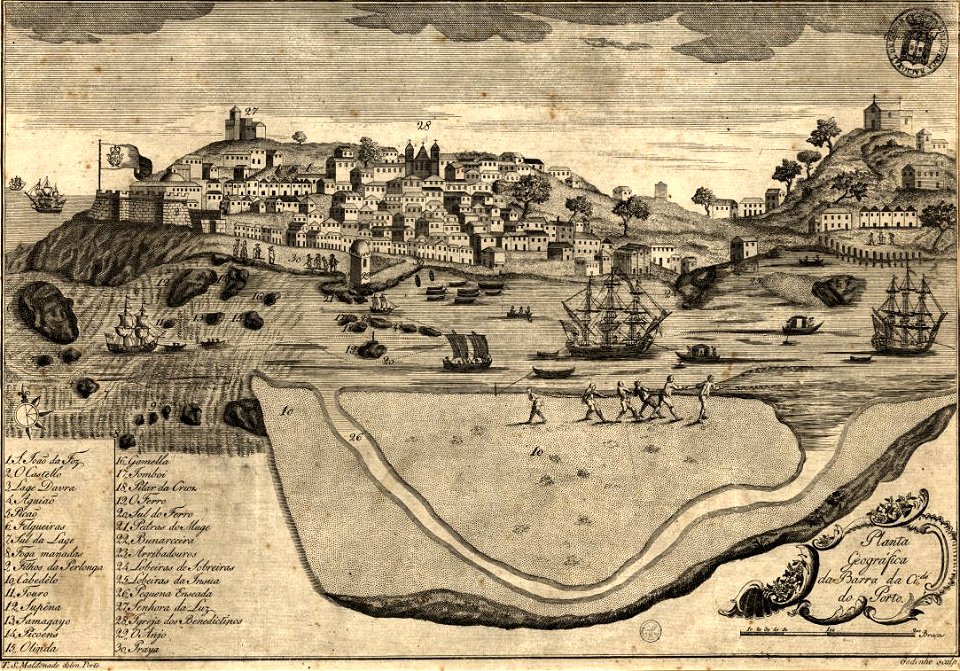
1780s maps of portugal
1780s maps of spain
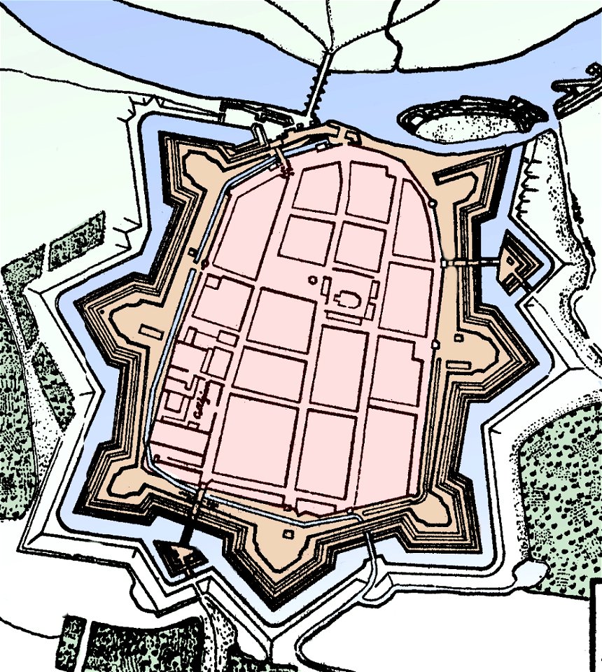
stadtbefestigung rinteln
maps of rinteln
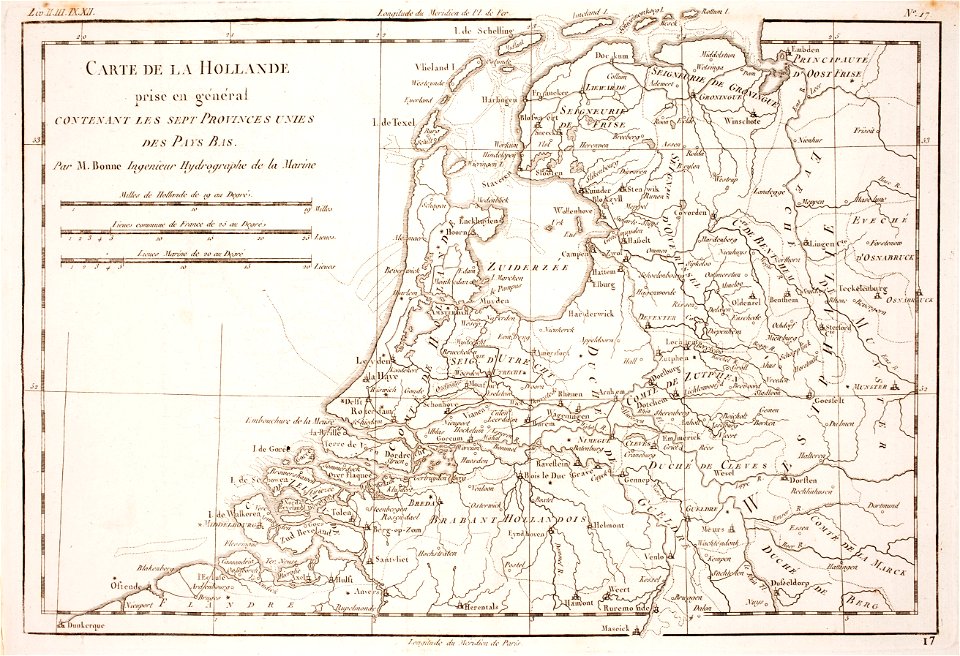
1780 maps of the netherlands
1780 maps of germany
maps of the march of ancona
maps by antonio zatta
maps of the west-indische compagnie
1780
maps of the west-indische compagnie
1780
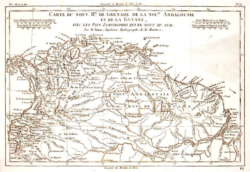
1780 in south america
1780 maps
old maps of the iberian peninsula
1780s maps of spain
1780s maps of portugal
1789 maps
1780 in brazil
1780 maps
maps of the west-indische compagnie
1780
1780s maps of portugal
1789
media in the houghton library
harvard university
historic views of konstanz
bishopric of constance
prints from bonne atlas de toutes les parties at the peace palace library
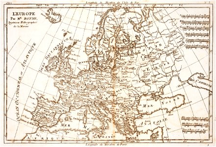
18th-century maps of europe
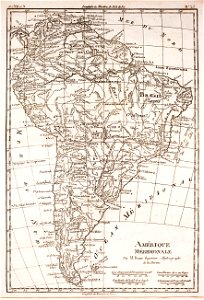
1780s maps of south america
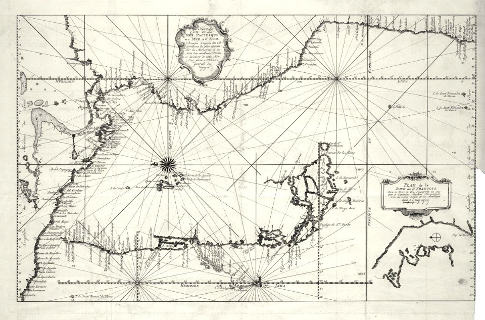
1780 in south america
maps of the aleutian islands
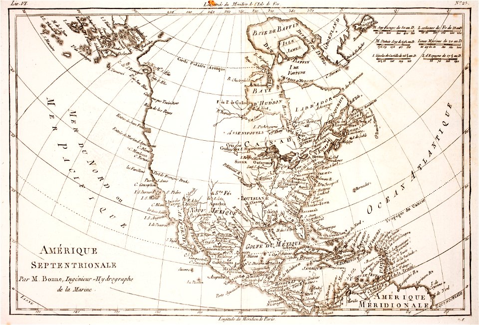
1780 maps of north america
18th-century maps of hispaniola
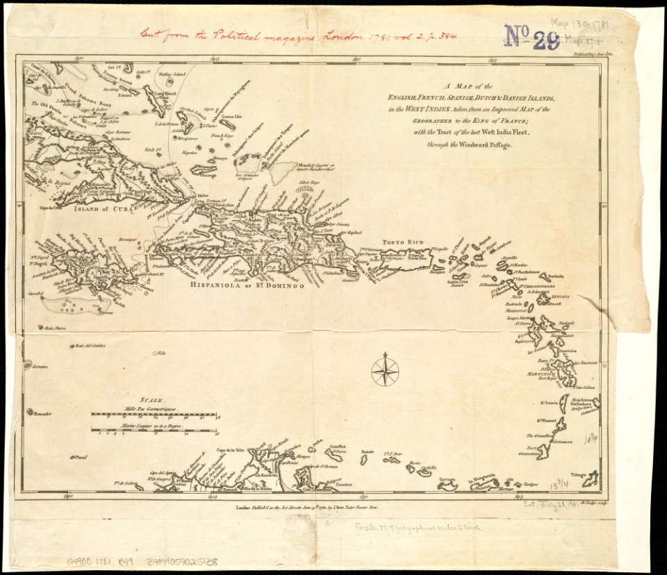
1780s maps of the caribbean
18th-century maps of brazil
1780 in south america
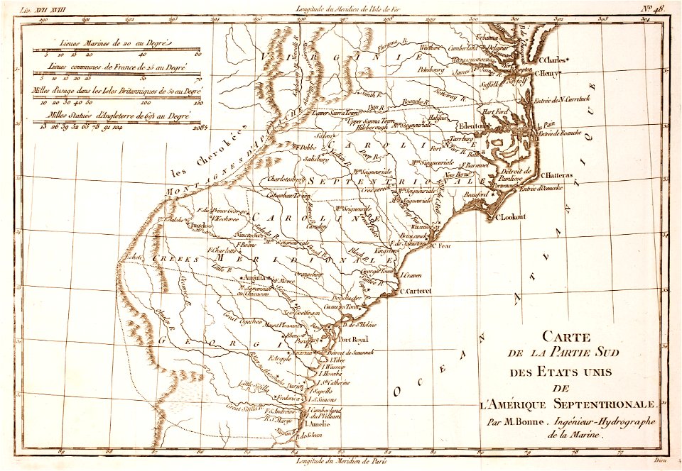
18th-century maps of north carolina
1780 maps
18th-century maps of brazil
1780 in south america
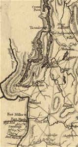
fort ticonderoga
john burgoyne
historical images of melaka city
18th-century fortress plans
prints from bonne atlas de toutes les parties at the peace palace library
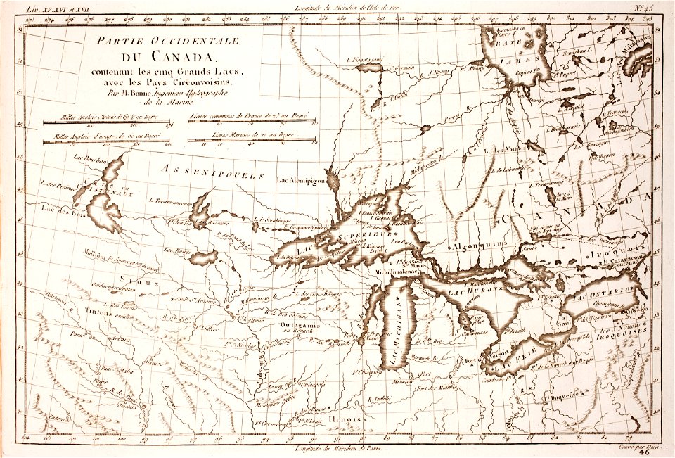
1780 maps of canada
18th-century maps of hispaniola
1780 in the caribbean
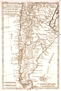
19th-century maps of argentina
1780 in south america
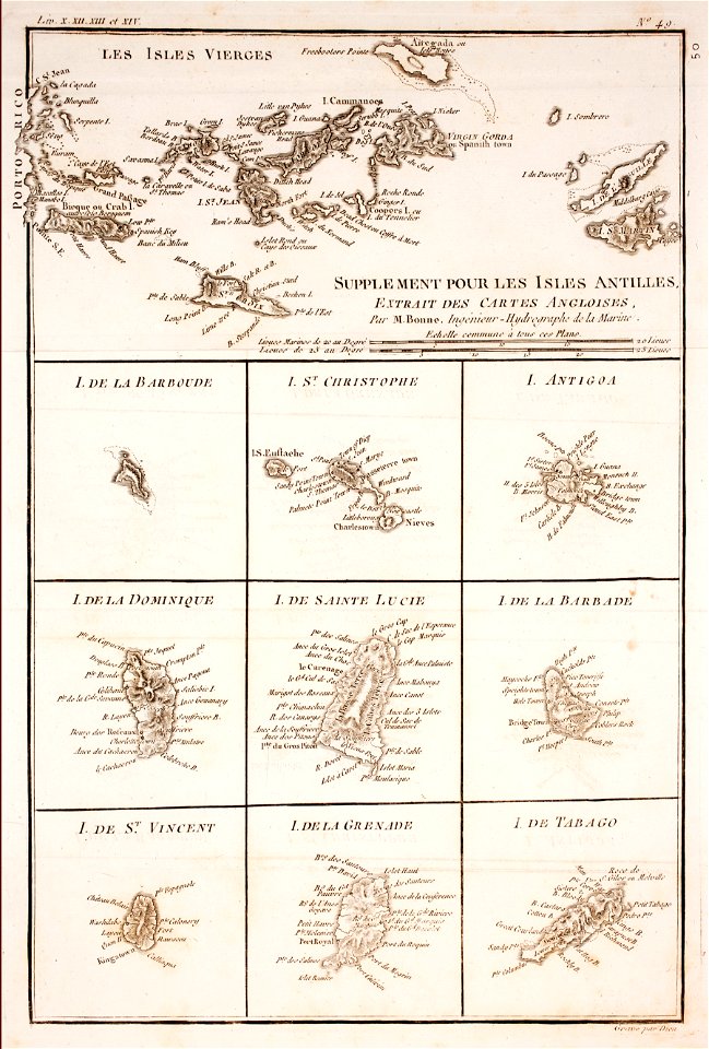
1780 in the caribbean
virgin islands
18th-century portrait paintings in germany
stuttgart
portrait paintings of standing men with right hand on hip
national costume of sweden of 1778
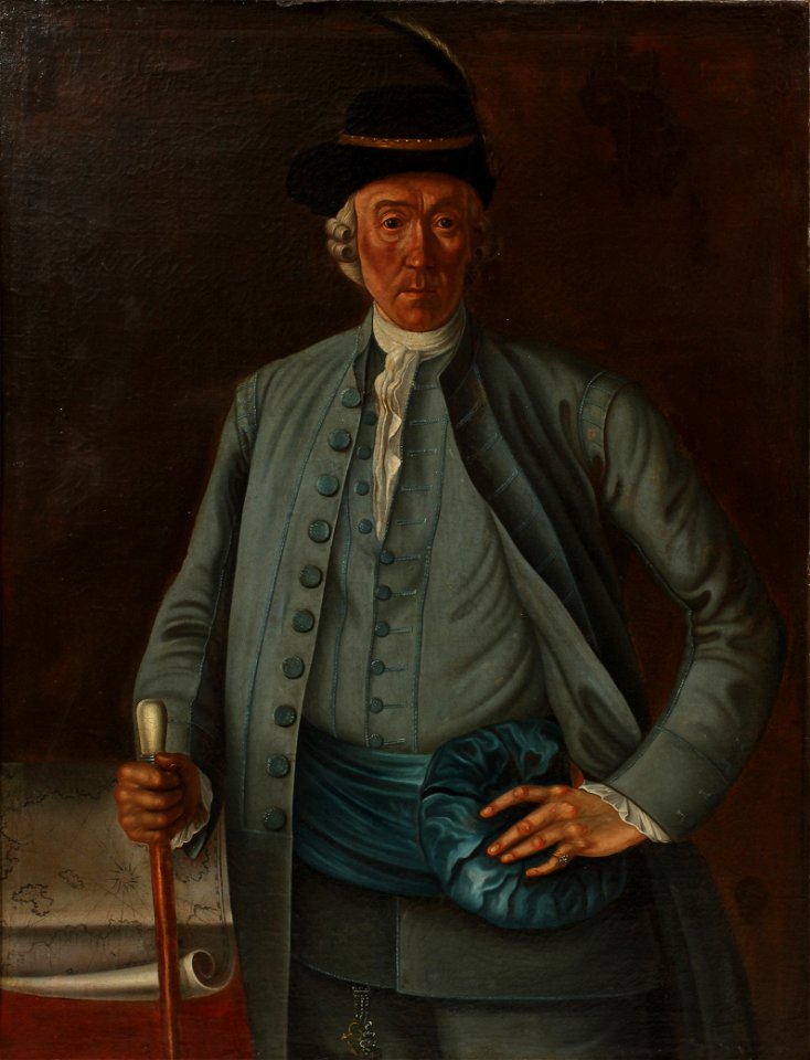
american chippendale furniture in art
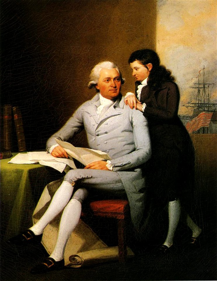
jeremiah wadsworth
portrait paintings of men by george romney
rococo
preparatory portrait studies
1786 oil on canvas paintings
1st baronet
london
german-language maps from ios map collection
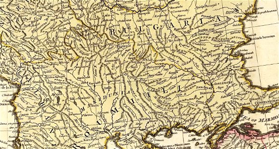
18th-century maps of the black sea
spanish-language maps
1780s maps of panama
spanish-language maps
1785 maps
old maps of the arctic
maps by emanuel bowen
1780s maps of the philippines
old maps of palau
maps in the british museum
old maps of dunkerque
maps of the iberian peninsula by guillaume delisle
1780s maps of the iberian peninsula
maps in the british museum
1780s maps of france
maps in the british museum
battle of fontenoy
maps of spain by tomas lopez
history of el bierzo
histoire universelle depuis le commencement du monde
maps of gulf of khambhat
maps in the british museum
1780s maps of france
histoire universelle depuis le commencement du monde
maps of gulf of khambhat
maps of paris from bibliothèque nationale de france
maps of paris by jean lattré
18th-century maps of the canary islands
maps of spain by tomas lopez
maps of spain by tomas lopez
1780 maps of spain
maps in the british museum
maps of the irish sea
maps of spain by tomas lopez
1780 maps of spain
maps in the british museum
1780s maps of france
18th-century maps of barbados
1780 maps of the caribbean
18th-century maps of the canary islands
maps of spain by tomas lopez
18th-century maps of the canary islands
maps of spain by tomas lopez
maps by thomas kitchin
1780 maps of africa
1780s maps of florida
maps of florida
plan routier de la ville et faubourg de paris by jean lattré
maps of paris from bibliothèque nationale de france
maps of paris from the barry lawrence ruderman antique maps inc.
maps of paris by louis-joseph mondhare
plan routier de la ville et faubourg de paris by jean lattré
maps of paris from bibliothèque nationale de france
maps of spain by tomas lopez
old maps of gran canaria
1780 maps of the caribbean
maps by juan lopez
18th-century maps of the sea of marmara
18th-century maps of the dardanelles
1788 maps of the ottoman empire
1788 maps of austria
maps of paris by louis-joseph mondhare
maps of paris from paris musées
maps of paris from bibliothèque nationale de france
nouveau plan de paris by louis brion de la tour
18th-century maps of crimea
1780s maps of ukraine
maps of paris from bibliothèque nationale de france
nouveau plan de paris by louis brion de la tour
history of kyoto prefecture
kontai-ji
maps by jakob van der schley
old maps of southeast asia
maps in the library of congress
18th-century maps of jamaica
old maps of montenegro
old maps of dubrovnik
18th-century maps of the aegean sea
1780s maps of greece
old maps of île-de-france
1785 maps of france
the magazine of american history with notes and queries (1877)
john andré
maps of goa by linschoten
portuguese india
the columbian magazine (1789)
pre-raphaelite brotherhood
1 - 100 of 190
Next page
/ 2