Log in
All resources
Create a design
23 Free Images of Old Maps Of The Spanish Empire
18th-century maps of the spanish empire
old maps of the history of venezuela
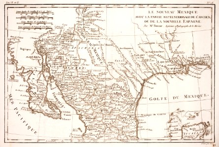
old maps of mexico
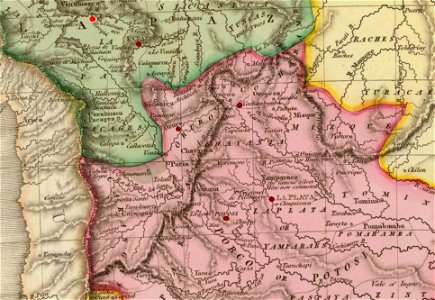
old maps of colombia
old maps of guatemala
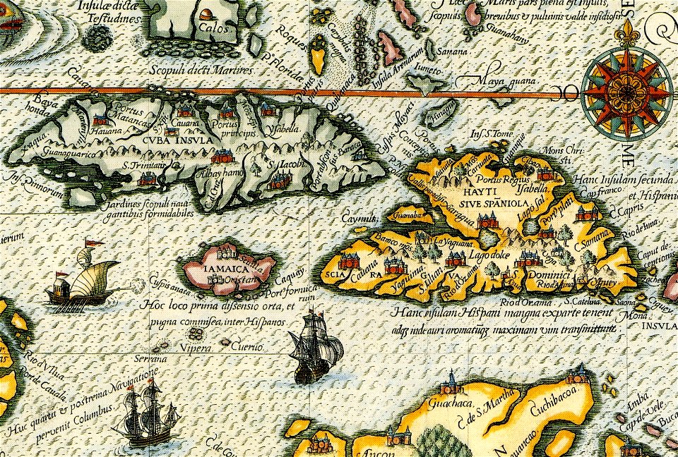
16th-century maps of the spanish empire
caribbean sea in art
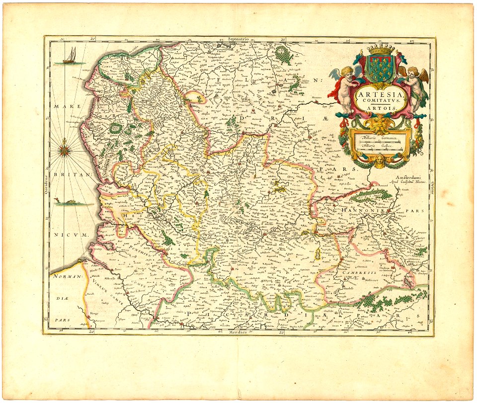
old maps of regions of france
county of artois
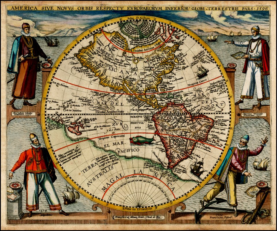
atlas novus (blaeu)
old maps of the spanish empire
old maps of regions of france
pointing in art
theodor de bry
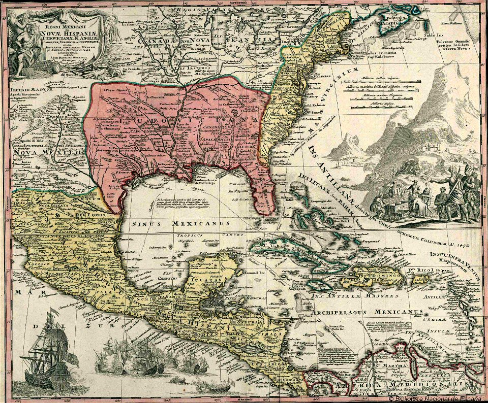
18th-century maps of the spanish empire
dien (printer)
19th-century maps of the spanish empire
1810s maps of south america
old maps of guatemala
old maps of colombia
old maps of colombia
theodor de bry
18th-century maps of puerto rico
18th-century maps of cuba
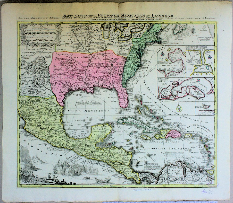
old maps of central america
old maps of florida
old maps of the spanish empire
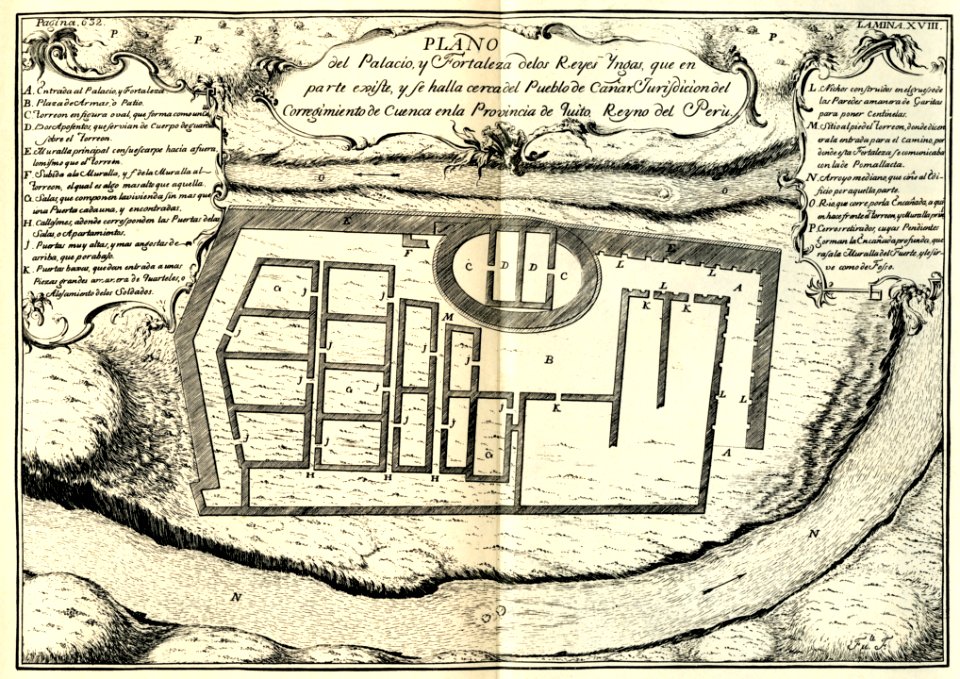
ecuador
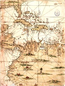
diego gutiérrez
renaissance
history of antwerp
renaissance
old maps of regions of france
county of artois
1730s maps of south carolina
old maps of north america
old maps of french guiana
1630s maps of brazil
old maps of trinidad and tobago
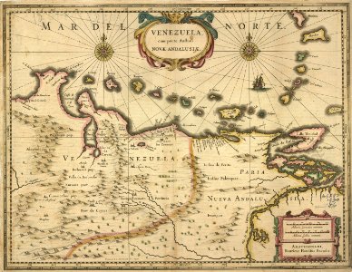
17th-century maps of venezuela
1790s maps of central america
1790s maps of cuba
historical
history
considérations géographiques et physiques sur les nouvelles découvertes au nord de la grande mer
1750s maps of the russian empire
navigantium atque itinerantium bibliotheca
1744 fleurons
maps by emanuel bowen
1744 fleurons
historical
history
maps of the captaincy general of cuba
maps of the history of florida
old maps of the viceroyalty of new spain
the spanish borderlands
1 - 23 of 23
/ 1