Log in
All resources
Create a design
76 Free Images of Old Maps Of Mexico
maps in the library of congress
pictorial maps
old manuscript maps
spanish-language maps
1632 maps
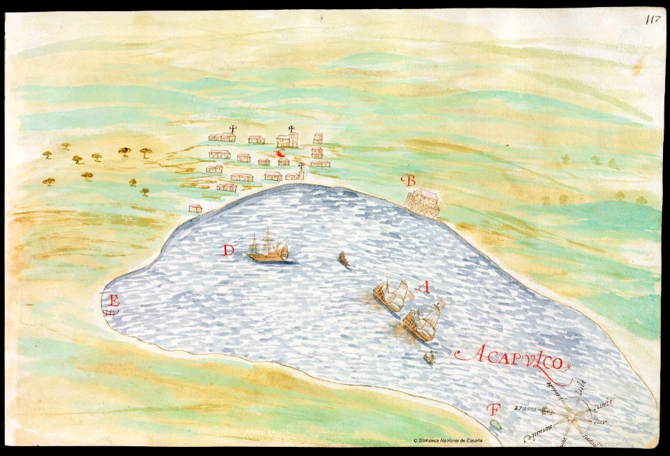
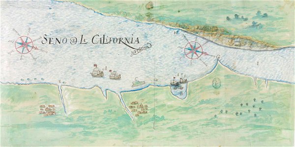
en especial del descubrimiento del reino de la california
descripciones geográphicas e hydrográphicas de muchas tierras y mares del norte y sur en las indias
maps by nicolás de cardona
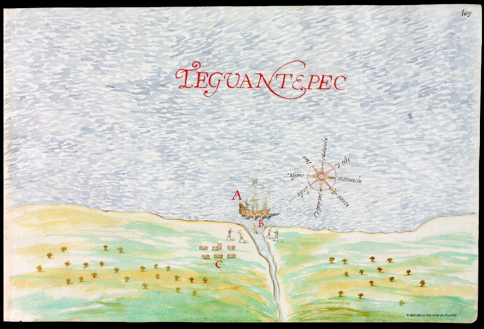
watercolor maps
history
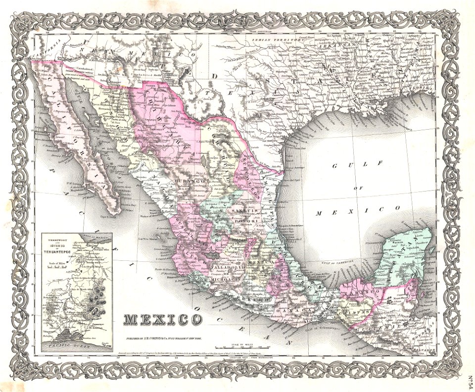
old maps of mexico
1855 maps
old maps of mexico
1893 in mexico
old maps of mexico
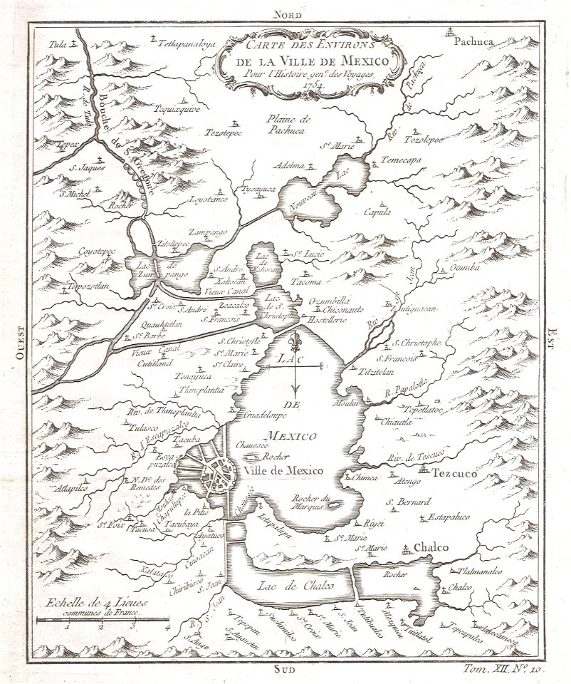
mexico
old maps of mexico
veracruz
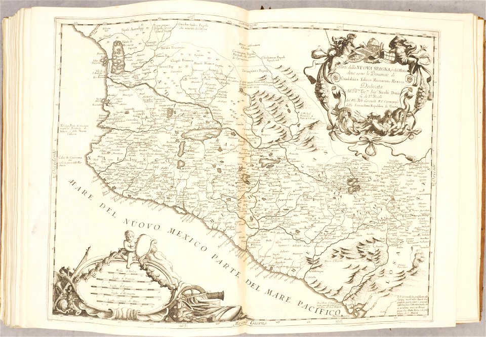
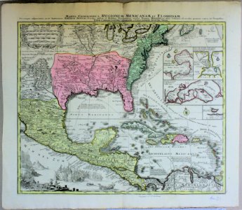
18th-century maps of the spanish empire
dien (printer)
maps in the library of congress
old maps of mexico
missouri
mexico
maps in the library of congress
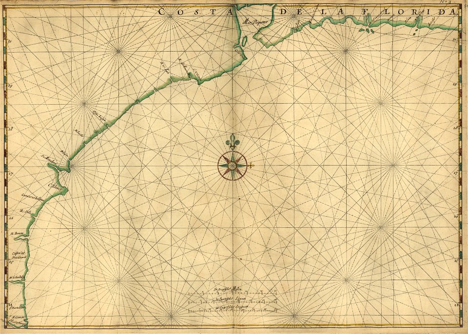
old maps of florida
maps in the library of congress
old maps of florida
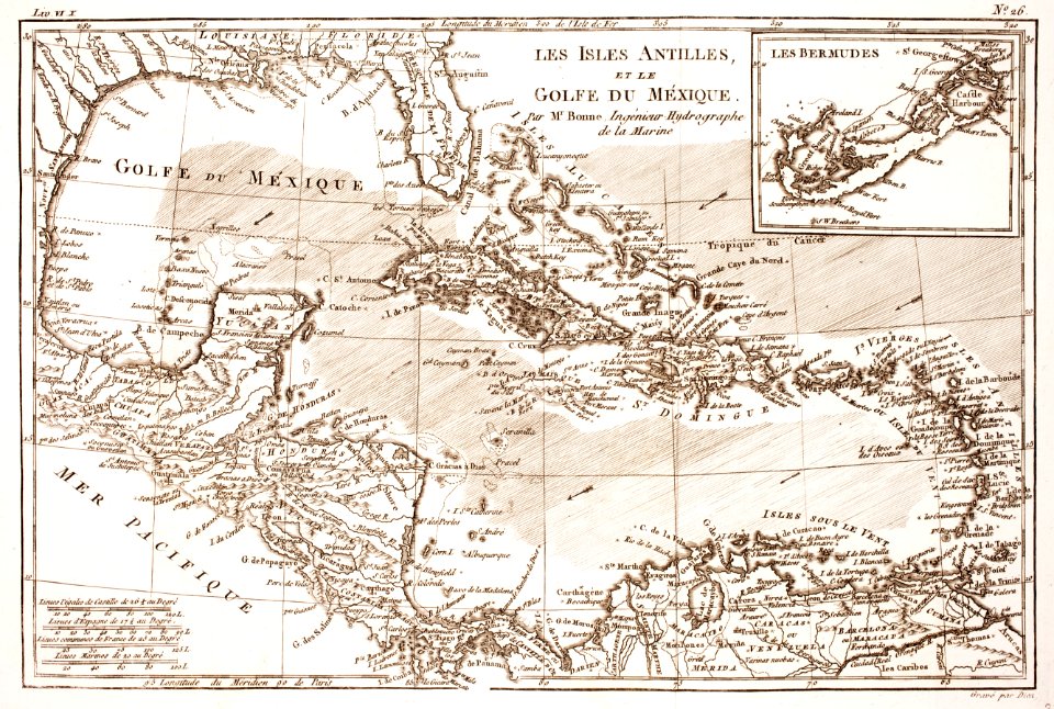
old maps of the gulf of mexico
maps by thomas jefferys
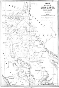
volume 5 of le tour du monde
old maps of mexico
veracruz
florida
old maps of mexico
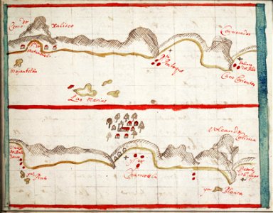
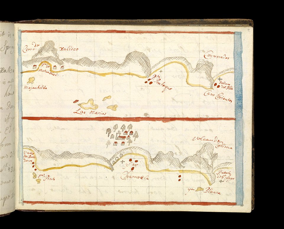
jalisco
old maps of mexico
jalisco
old maps of mexico
pictorial maps
maps in the library of congress
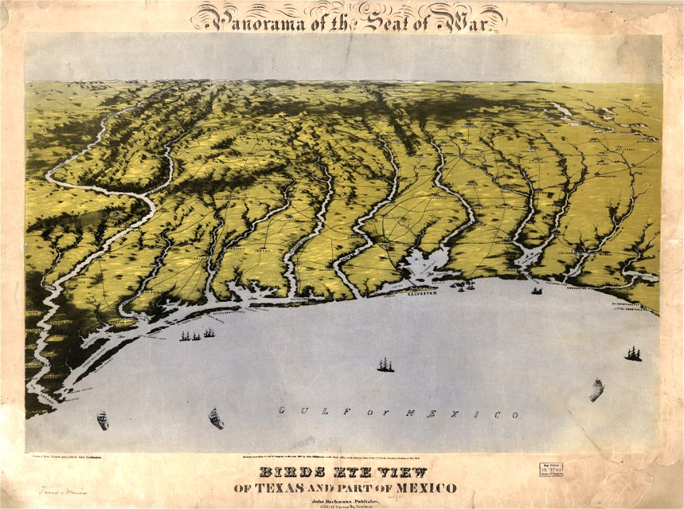
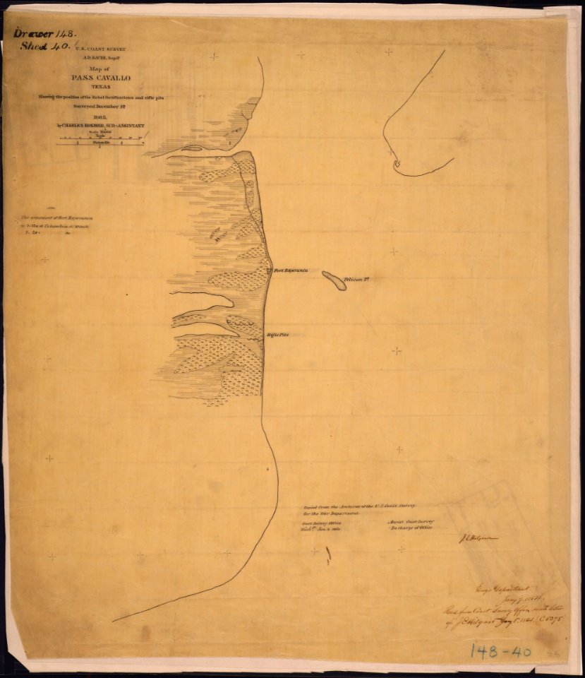
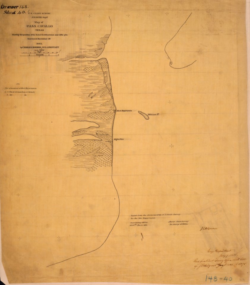
old maps of texas
maps in the library of congress
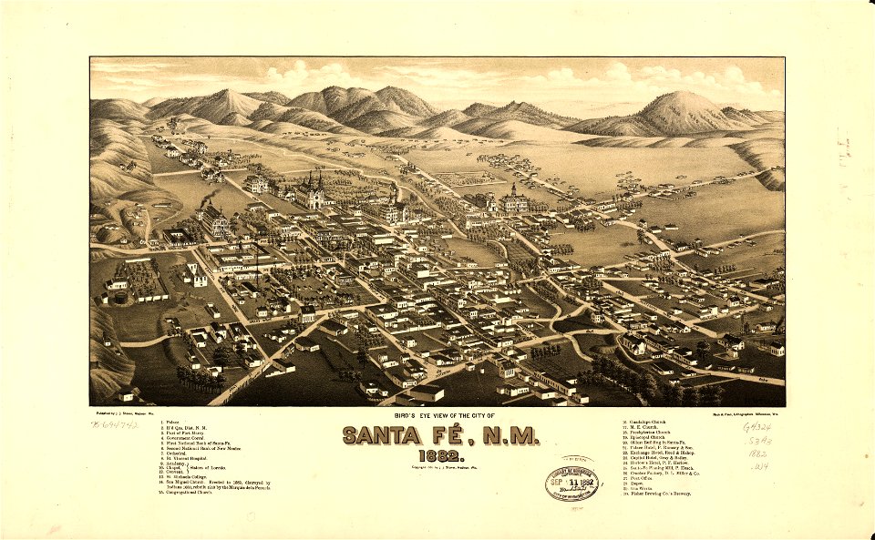
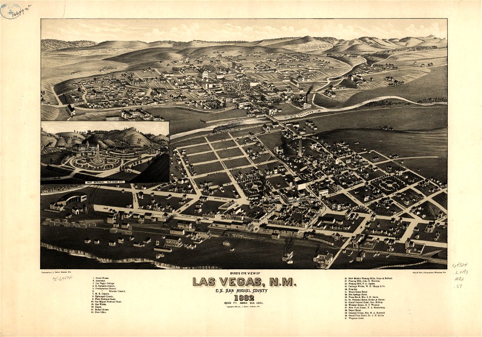
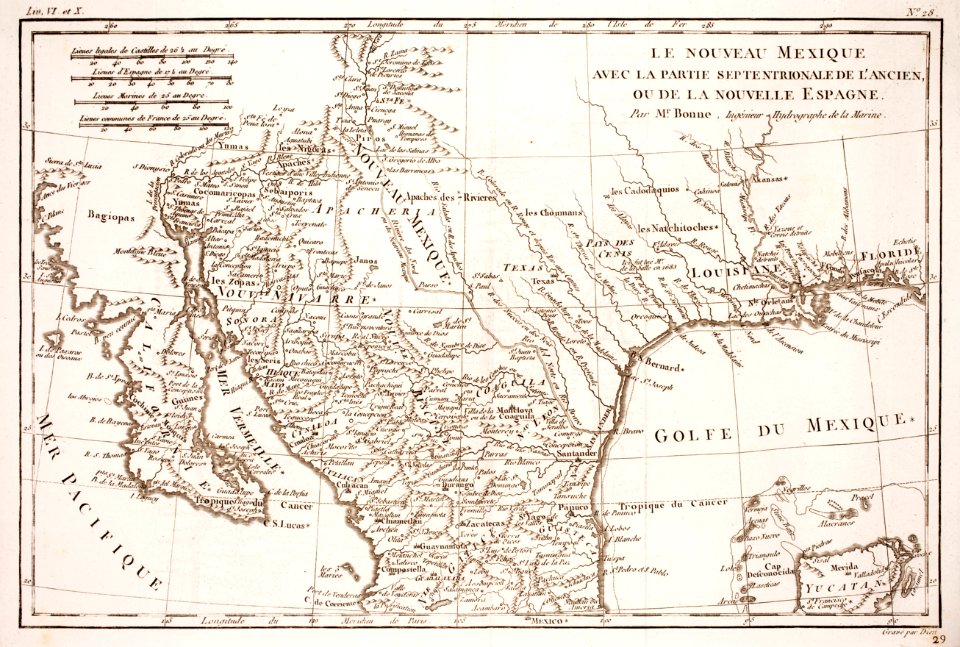
old maps of new mexico
maps in the library of congress
old maps of texas
maps in the library of congress
old maps of new mexico
atlante veneto (raremaps.com) volume 2
old maps of mexico
maps in the library of congress
old maps of new mexico
maps in the library of congress
old maps of new mexico
pictorial maps
ships of japan
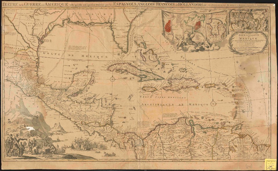
18th-century maps of nicaragua
1780 in central america
old maps of mexico
covens en mortier
volume 4 of le tour du monde
old maps of mexico
old maps of mexico
pictorial maps
old maps of mexico
pictorial maps
old maps of mexico
pictorial maps
old maps of mexico
pictorial maps
old maps of mexico
pictorial maps
old maps of mexico
pictorial maps
old manuscript maps
pictorial maps
nayarit
chacala
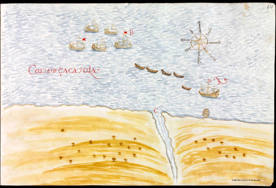
gulf of california
pictorial maps
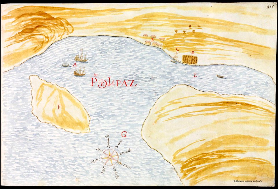
baja california sur
la paz
old maps of mexico
pictorial maps
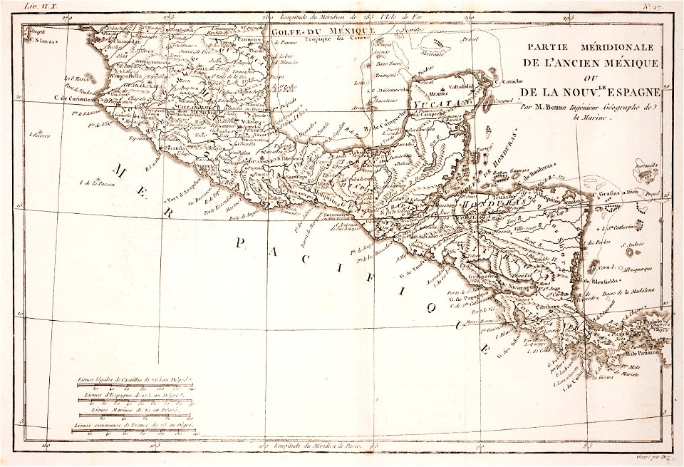
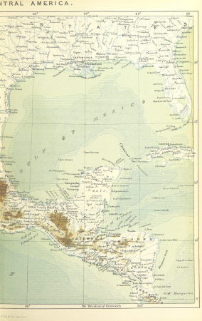
old maps of central america
old maps of florida
maps by jacques-nicolas bellin
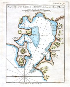
old maps of saint lucia
self-published work
pages with maps
1892 in the united states
laredo, texas
1560s maps of north america
paolo forlani
ecosystems
fl
jan karel donatus van beecq
hernán cortés
jan karel donatus van beecq
hernán cortés
old maps of the viceroyalty of new spain
1570s maps of mexico
maps by daniel lizars
1830s maps of belize
jan karel donatus van beecq
hernán cortés
1750s maps of central america
maps by tomas lopez
plantae yucatanae. (regionis antillanae)
1903 in yucatán
the loyal west in the times of the rebellion
1803 maps of the united states
18th-century maps of central america
1760s maps of the caribbean
18th-century maps of north america
1708 maps of north america
maps in the library of congress
old maps of latin america
maps from the earth and its inhabitants, vol. xvi
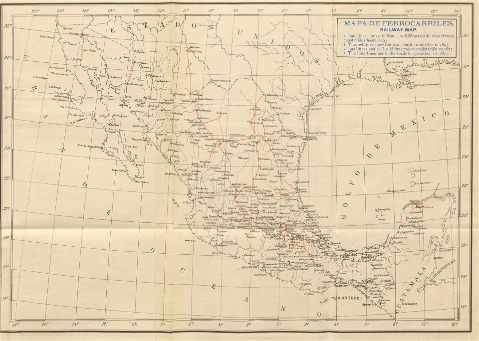
1870s maps of mexico
1790s maps of central america
1790s maps of cuba
chicago and the midwest, newberry library
old maps of the mississippi river
old geological maps by jean-etienne guettard
jean étienne guettard
old geological maps by jean-etienne guettard
jean étienne guettard
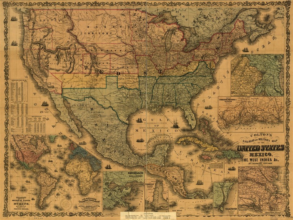
maps of the mexican-american war
maps by joseph warren revere
admiralty charts region r: usa and mexico west coasts
admiralty charts 1801-2000
de nieuwe groote lichtende zee-fakkel (rijksmuseum)
maps in the rijksmuseum amsterdam
old maps of the london underground
maps by macdonald gill
historical
history
historical
history
maps in the library of congress
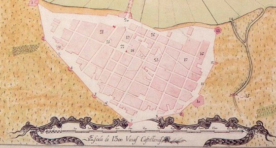
old maps of veracruz (city)
historical
history
historical
history
historical
history
historical
history
french-language maps of north america
1809 maps of north america
1650s maps of the americas
1658 maps
historical
history
de nieuwe groote lichtende zee-fakkel (rijksmuseum)
old maps of yucatán
geocentric model
1730 maps
uxmal in the 19th century
uxmal in art
1 - 76 of 76
/ 1