Log in
All resources
Create a design
16 Free Images of 18th Century Maps Of The Spanish Empire
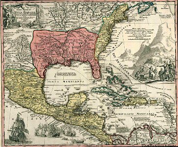
a map of the british empire in america with the french and spanish settlements adjacent thereto
maps in the library of congress
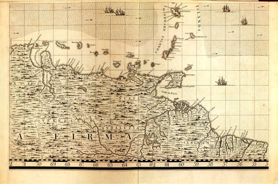
18th-century maps of barbados
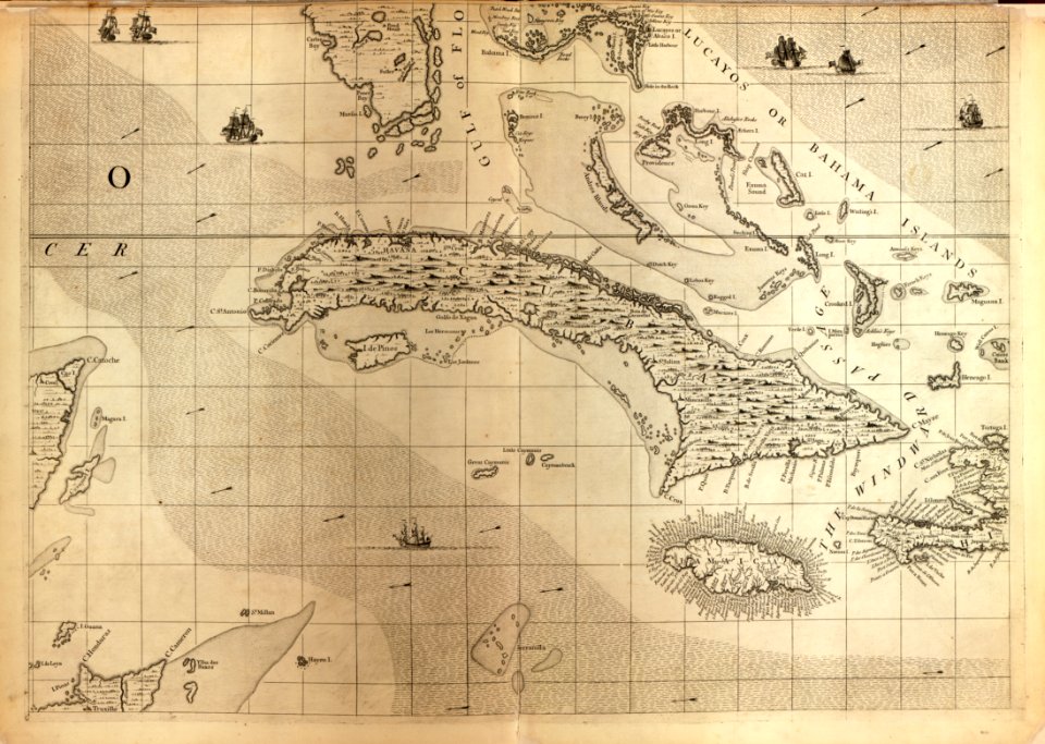
18th-century maps of cuba
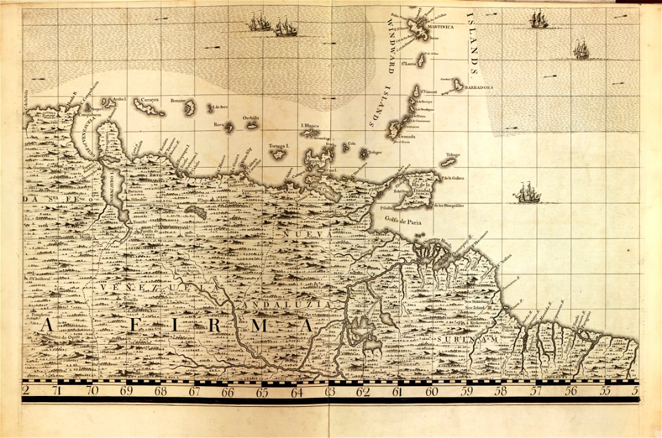
18th-century maps of the caribbean
maps in the library of congress
18th-century maps of barbados
maps in the library of congress
18th-century maps of cuba
a map of the british empire in america with the french and spanish settlements adjacent thereto
maps in the library of congress
a map of the british empire in america with the french and spanish settlements adjacent thereto
maps in the library of congress
a map of the british empire in america with the french and spanish settlements adjacent thereto
maps in the library of congress
18th-century maps of puerto rico
18th-century maps of cuba
18th-century maps of the spanish empire
maps made in the 18th century
18th-century maps of the spanish empire
dien (printer)
spanish empire
madrid
carta hydrographica y chorographica de las yslas filipinas
baroque painting
maps by jean-baptiste bourguignon d'anville
maps by thomas kitchin
18th-century maps of havana
1730s maps of cuba
a map of the british empire in america with the french and spanish settlements adjacent thereto
maps in the library of congress
1790s maps of central america
1790s maps of cuba
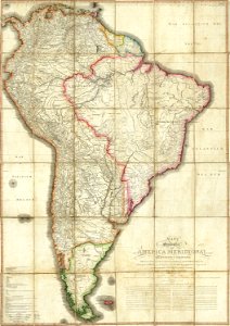
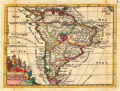
1747 maps of south america
daniel de la feuille
considérations géographiques et physiques sur les nouvelles découvertes au nord de la grande mer
1750s maps of the russian empire
1 - 16 of 16
/ 1