Log in
All resources
Create a design
18 Free Images of Old Maps Of The Roman Empire
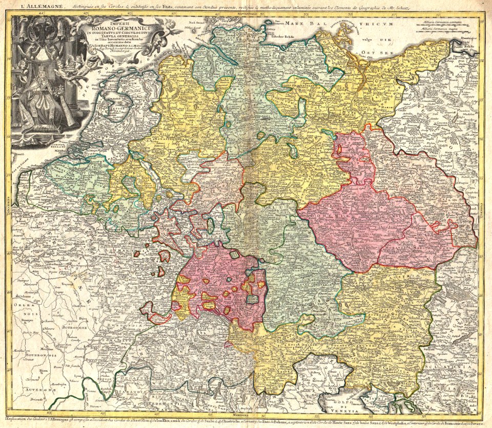
old maps of the holy roman empire
maps made in the 18th century
1865 maps
karl spruner von merz
old maps of gallaecia
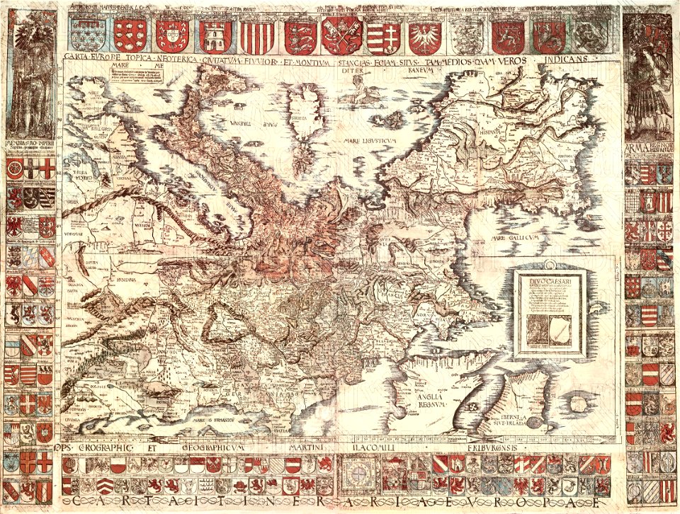
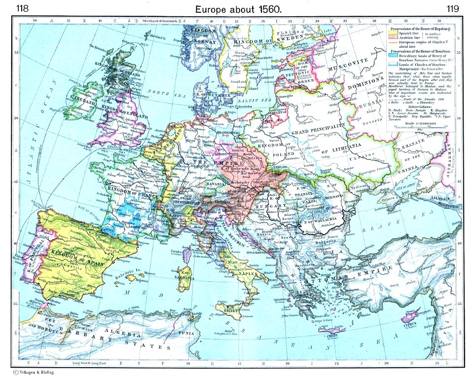
old maps of europe
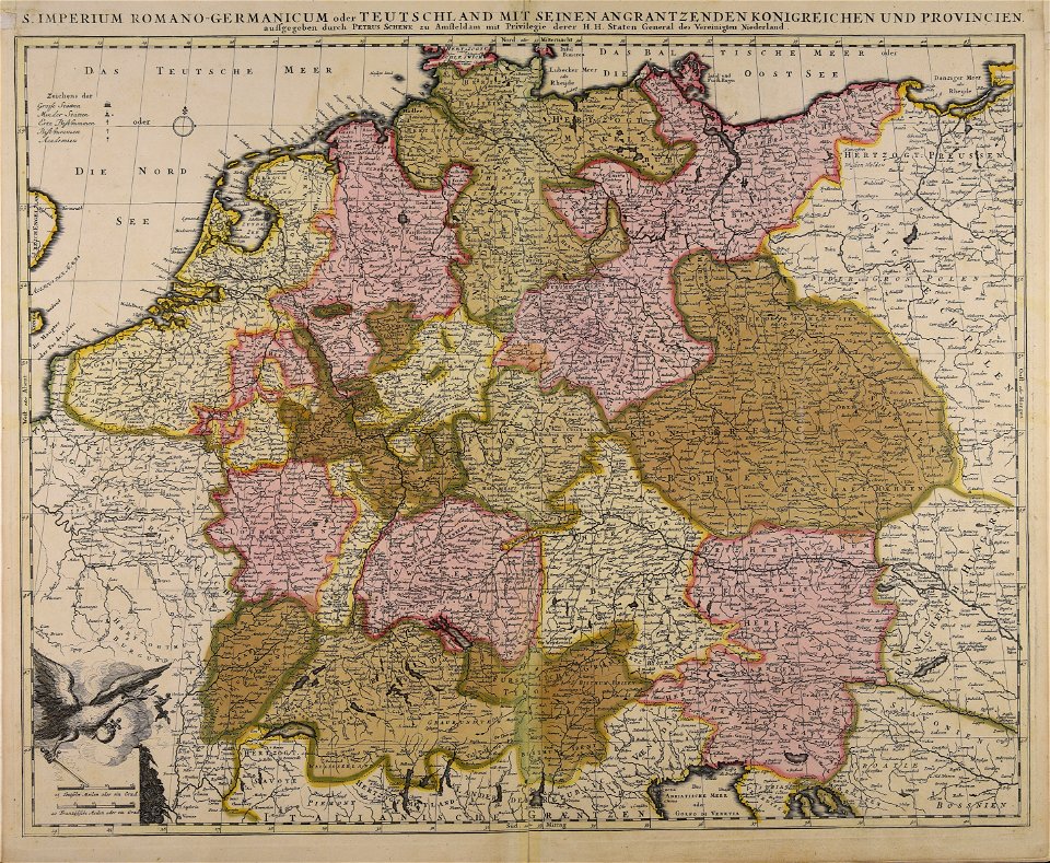
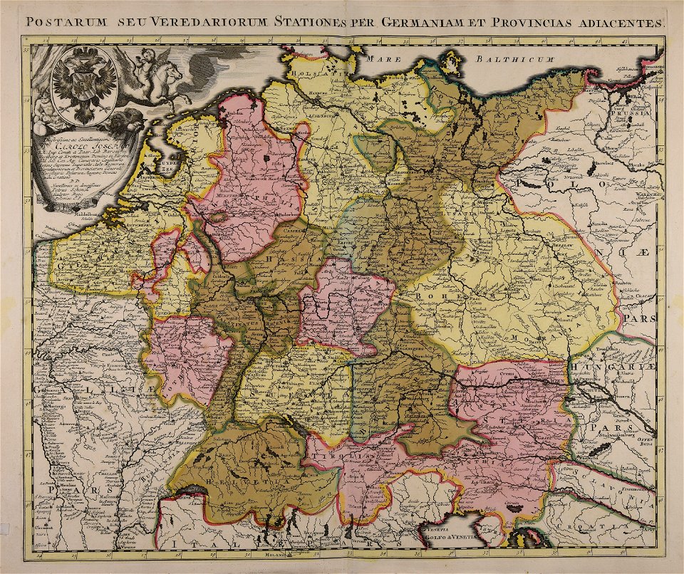
maps by pieter schenk (i)
atlantis magni tomus tertius (biblioteca comunale di trento)
prints from the peace palace library
maps with cartouches
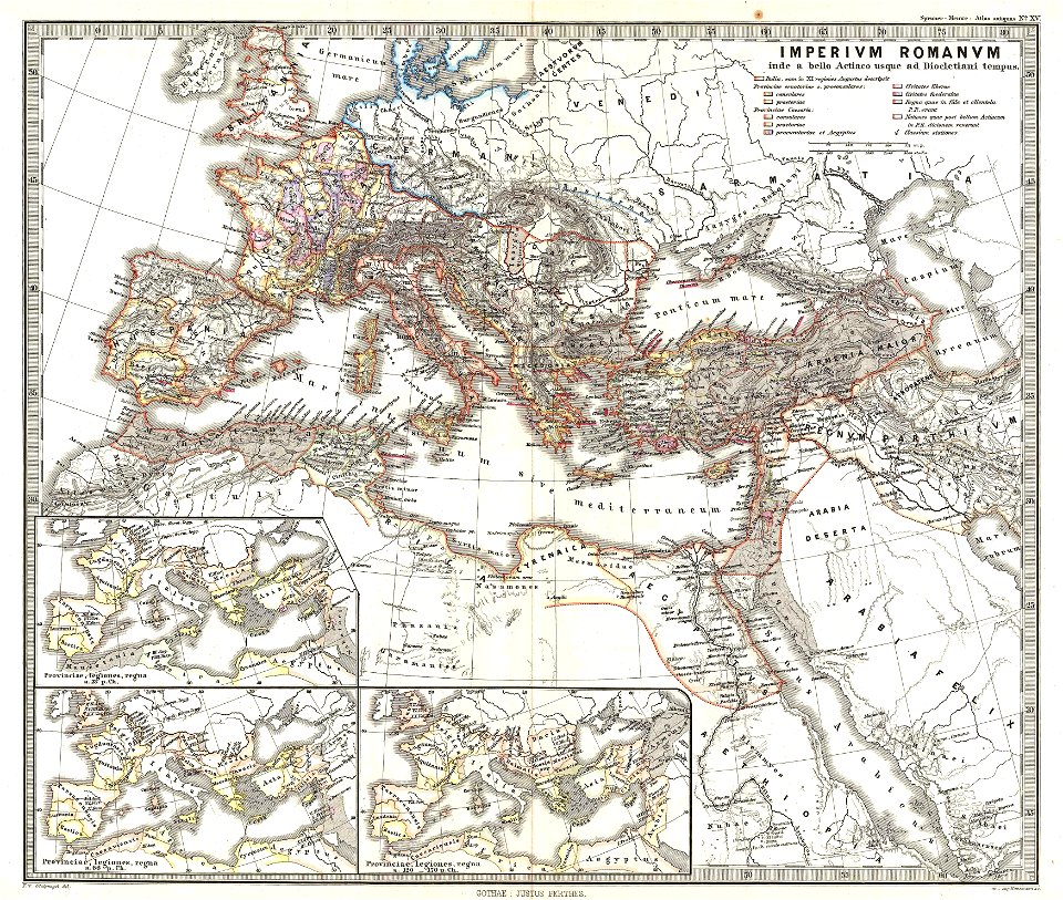
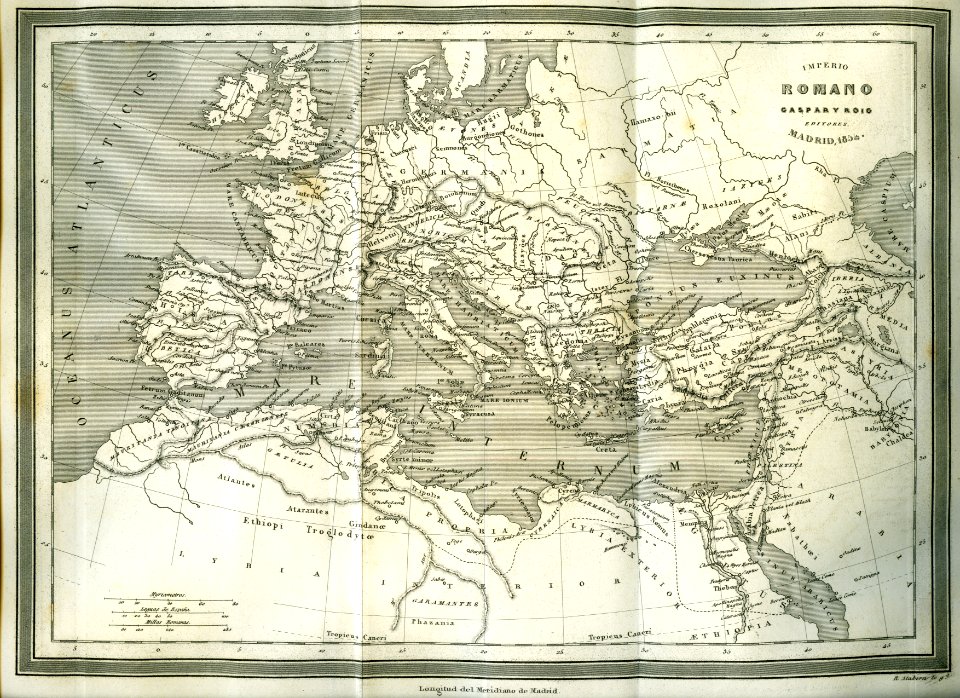
old maps of the roman empire
1865 maps
old maps of the roman empire
1865 maps
johann baptist homann
latin-language maps
coats of arms of galicia (spain)
holy roman empire
old maps showing history of europe
old maps of the holy roman empire
maps made in the 18th century
old maps of europe
maps made in the 18th century
old maps of europe
prints from the peace palace library
old maps of the roman empire
prints from the peace palace library
lucan
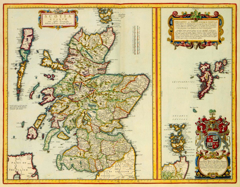
history of scotland
victorian era
german empire
east germany
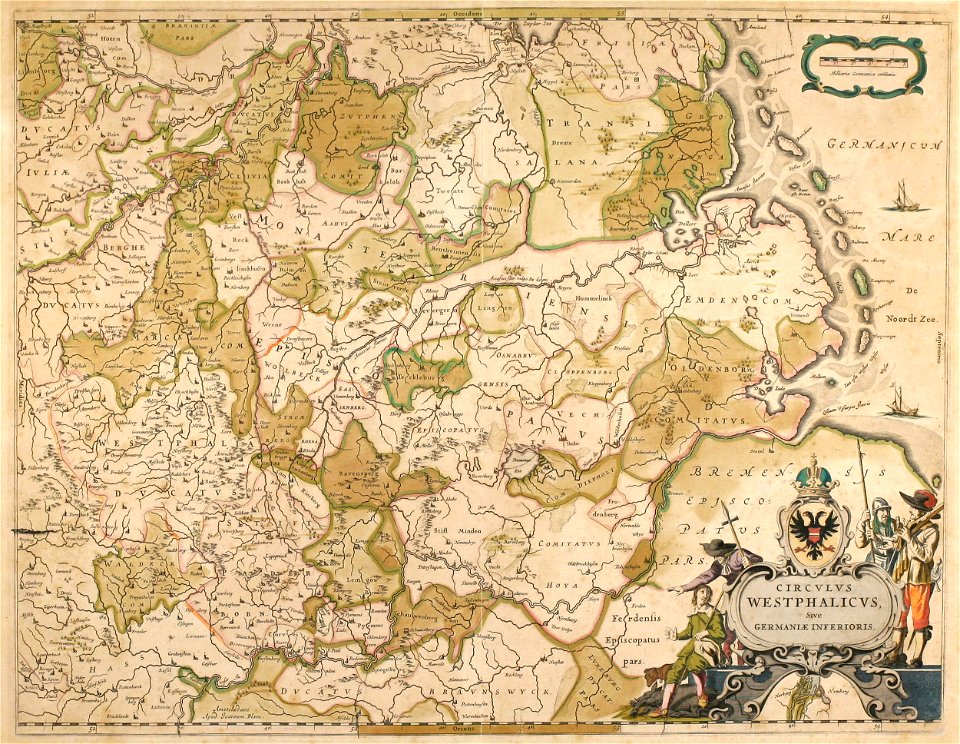
old maps of the holy roman empire
maps made in the 18th century
old maps in the bibliothèque nationale de france
old maps of the holy roman empire
maps by thomas kitchin
1781 maps of europe
historisk atlas (stockholm, norstedt & söner, 1880)
old maps of the roman empire
maps showing 18th-century history
maps made in the 18th century
maps by willem and johannes blaeu
1640 maps
illustration
maps
1 - 18 of 18
/ 1