Log in
All resources
Create a design
421 Free Images of Maps By Pieter Schenk (i)
gerard valck
maps made in the 17th century
atlantis magni tomus tertius (biblioteca comunale di trento)
atlantis magni tomus quartus (biblioteca comunale di trento)
atlantis magni tomus secundus (biblioteca comunale di trento)
atlantis magni tomus quintus (biblioteca comunale di trento)
old maps of silesia
atlantis magni tomus primus (biblioteca comunale di trento)
maps made in the 18th century
world map
maps by pieter schenk (i)
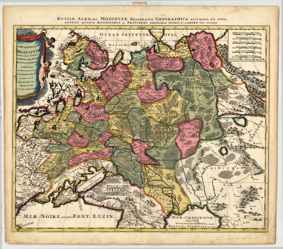
1685 maps of russia
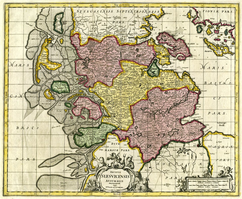
17th-century maps of schleswig-holstein
gerard valck
copper engraving
gerard valck
maps made in the 17th century
gerard valck
atlantis magni tomus quintus (biblioteca comunale di trento)
maps by pieter schenk (i)
maps by pieter schenk (i)
gerard valck
maps made in the 17th century
maps by pieter schenk (i)
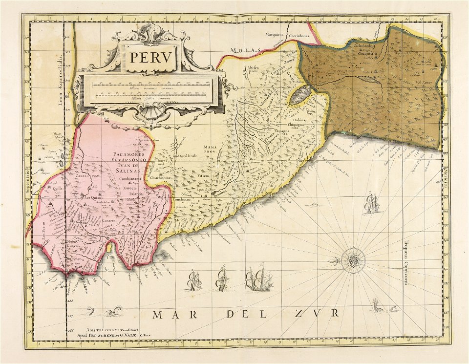
old maps of peru
gerard valck
atlantis magni tomus quintus (biblioteca comunale di trento)
maps made in the 18th century
maps made in the 17th century
gerard valck
old maps of silesia
gerard valck
maps made in the 17th century
gerard valck
people
maps
maps made in the 18th century
old maps of europe
maps made in the 17th century
1700 maps of lithuania
maps made in the 17th century
gerard valck
maps made in the 17th century
maps by pieter schenk (i)
maps made in the 17th century
gerard valck
old maps of nuremberg
gerard valck
maps made in the 17th century
gerard valck
maps made in the 17th century
gerard valck
gerard valck
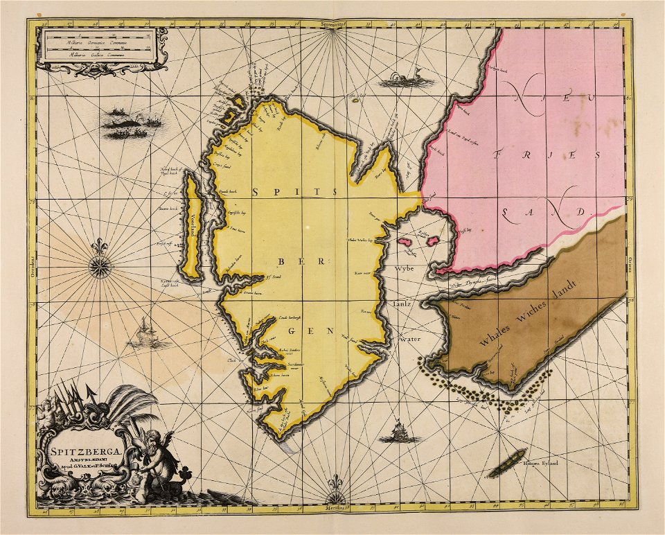
spitsbergen
gerard valck
ciling
maps made in the 17th century
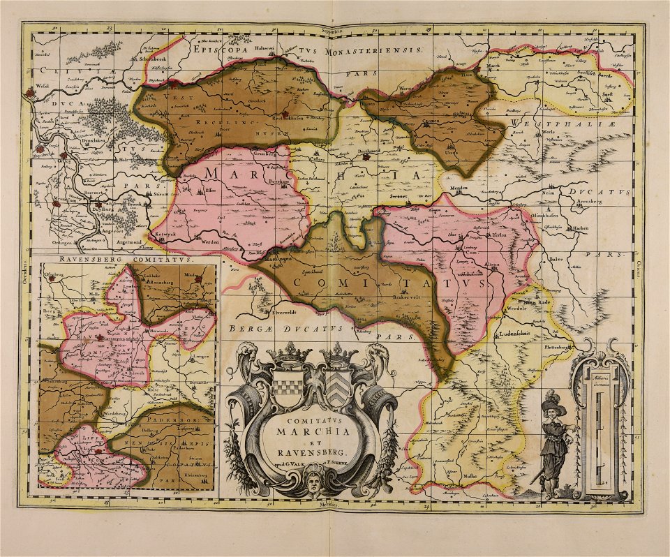
old maps of westphalia
maps made in the 17th century
gerard valck
maps made in the 17th century
gerard valck
maps made in the 17th century
gerard valck
old maps of silesia
gerard valck
maps made in the 17th century
gerard valck
maps made in the 17th century
gerard valck
maps made in the 17th century
gerard valck
maps made in the 17th century
gerard valck
maps made in the 17th century
gerard valck
maps made in the 17th century
gerard valck
old maps of styria
gerard valck
maps made in the 17th century
gerard valck
maps made in the 17th century
gerard valck
old maps of silesia
gerard valck
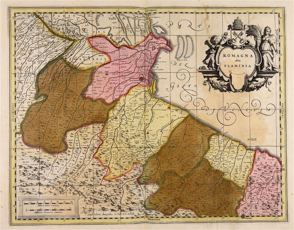
maps of romania
gerard valck
world
maps
maps made in the 17th century
gerard valck
maps made in the 17th century
gerard valck
maps made in the 17th century
gerard valck
maps made in the 17th century
gerard valck
maps made in the 17th century
gerard valck
maps made in the 17th century
gerard valck
maps by nicolas sanson
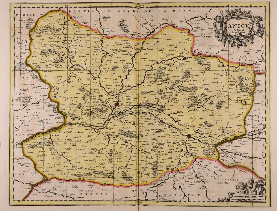
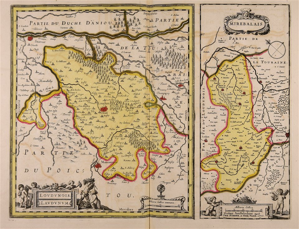
maine-et-loire
maps made in the 17th century
gerard valck
maps made in the 17th century
gerard valck
maps made in the 17th century
gerard valck
maps made in the 17th century
gerard valck
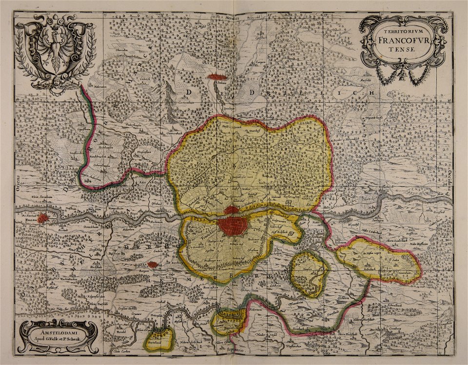
old maps of frankfurt am main
gerard valck
maps made in the 17th century
gerard valck
maps made in the 17th century
gerard valck
maps made in the 18th century
old maps of europe
gerard valck
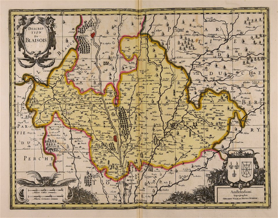
touraine
maps made in the 17th century
gerard valck
gerard valck
piedmont
maps made in the 17th century
gerard valck
maps made in the 17th century
gerard valck
maps made in the 17th century
gerard valck
maps made in the 17th century
gerard valck
gerard valck
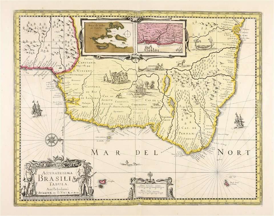
brazil
maps made in the 17th century
gerard valck
maps made in the 17th century
gerard valck
maps made in the 17th century
gerard valck
maps made in the 17th century
gerard valck
maps made in the 17th century
gerard valck
maps made in the 17th century
gerard valck
gerard valck
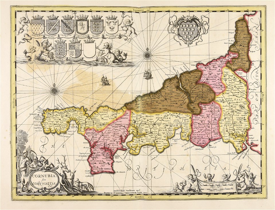
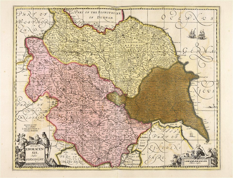
england
maps made in the 17th century
gerard valck
old maps of silesia
gerard valck
maps made in the 17th century
gerard valck
maps made in the 17th century
gerard valck
maps made in the 17th century
gerard valck
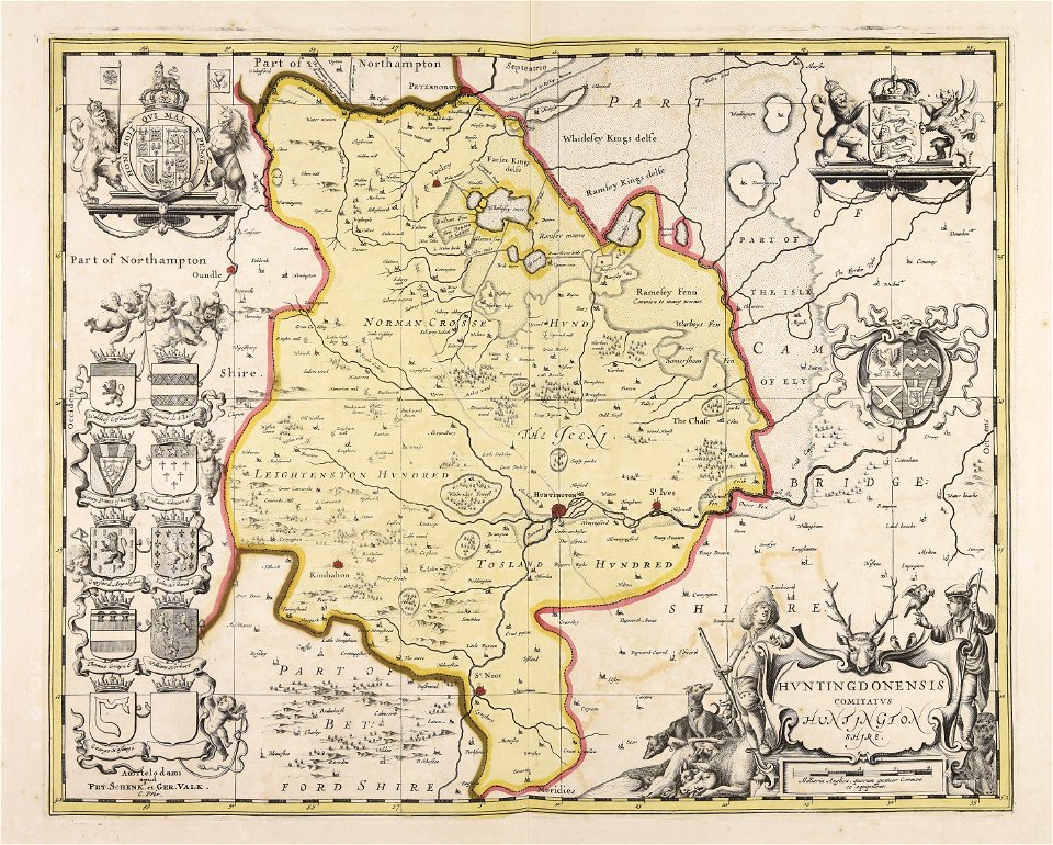
huntingdonshire
gerard valck
maps made in the 17th century
gerard valck
maps made in the 17th century
gerard valck
maps made in the 17th century
gerard valck
maps made in the 17th century
gerard valck
maps made in the 17th century
gerard valck
gerard valck
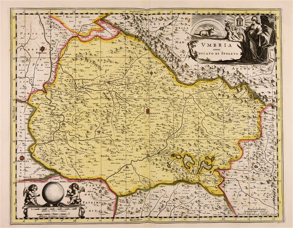
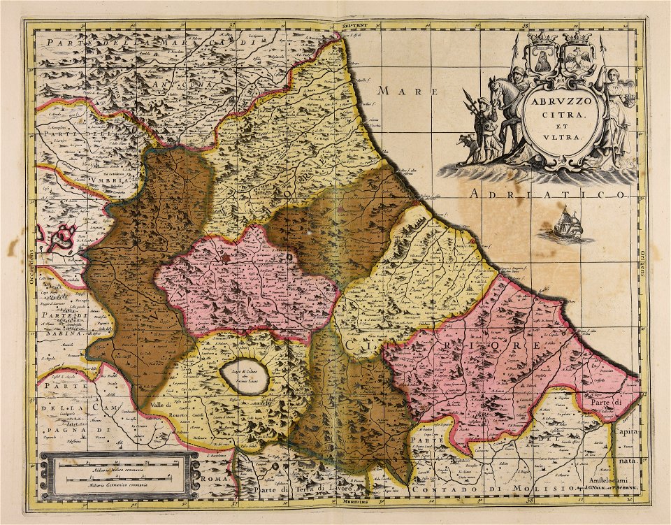
abruzzo
maps made in the 17th century
gerard valck
maps made in the 17th century
gerard valck
maps made in the 17th century
gerard valck
maps made in the 17th century
gerard valck
maps made in the 17th century
gerard valck
old maps of mecklenburg
gerard valck
maps made in the 17th century
gerard valck
gerard valck
germany
maps made in the 17th century
gerard valck
maps made in the 17th century
gerard valck
maps made in the 17th century
gerard valck
maps made in the 17th century
gerard valck
maps made in the 17th century
gerard valck
maps made in the 17th century
gerard valck
maps made in the 17th century
gerard valck
maps made in the 17th century
gerard valck
maps made in the 17th century
maps by pieter schenk (i)
maps made in the 17th century
gerard valck
1 - 100 of 421
Next page
/ 5