Log in
All resources
Create a design
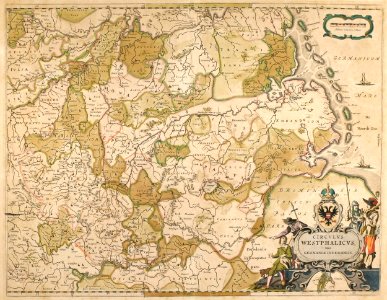
1640 CIRCVLVS WESTPHALICUS Blaeu, Joan Blaeu, C.E.1640
Map of the lower rhenish-westphalian circle of the holy roman empire. West is on top, north on the right. Date: C.E.1640.
Download
Edit image
Published by:
Creazilla
Author:
Joan Blaeu
Source:
commons.wikimedia.org
Loading...
0 downloads
Print it
Copy image
Loading...
maps by willem and johannes blaeu
1640 maps
maps of territories in the lower rhenish-westphalian circle
old maps of north rhine-westphalia
17th-century maps of lower saxony
joan blaeu
MORE LIKE THIS