Log in
All resources
Create a design
27,441 Free Images of Maps
flag
bibliothèque nationale de france
eran laor cartographic collection
paper
british museum
baroque
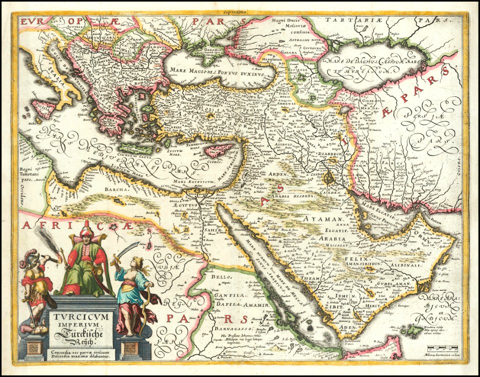
maps by willem and johannes blaeu
german renaissance,northern renaissance
geographia universalis (1545) in the british museum
hans holbein the younger
lawrence h. slaughter collection of english maps, charts, globes, books and atlases
1700 maps of the atlantic ocean
geographia universalis (1545) in the british museum
german renaissance,northern renaissance
old county maps of hertfordshire
maps by thomas kitchin
geographia universalis (1545) in the british museum
german renaissance,northern renaissance
geographia universalis (1545) in the british museum
german renaissance,northern renaissance
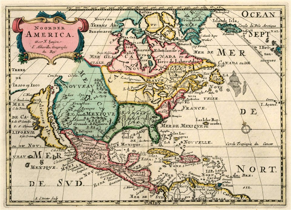
extra-ptolemaic maps of the americas (1540 design by münster)
german renaissance,northern renaissance
character
maps
maps
flag
maps
flag
maps
flag
maps
flag
maps
flag
maps
flag
maps
flag
maps
flag
maps
flag
maps
flag
maps
flag
maps
flag
maps
flag
maps
flag
maps
flag
maps
flag
maps
flag
maps
flag
maps
flag
maps
flag
maps
flag
maps
flag
maps
flag
maps
flag
maps
flag
maps
flag
maps
flag
maps
flag
maps
flag
maps
flag
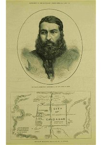
abdur rahman khan in art
thomas dewell scott
eran laor cartographic collection
tranquillo mollo
eran laor cartographic collection
joseph roux
hamburg in topographia saxoniae inferioris (merian)
baroque
eran laor cartographic collection
tranquillo mollo
eran laor cartographic collection
jaspar isaac
the hague in the 1720s
old maps of the hague
eran laor cartographic collection
guillaume sanson
mauritshuis in the 17th century
dutch baroque architecture
admiralty charts 2601-2800
tralee
turgot map of paris, kyoto university library – derivative files
foire saint-laurent
maps by willem and johannes blaeu
maps of rügen by eilhard lubinus
maps of dunkerque by braun & hogenberg
maps of bourbourg by braun & hogenberg
maps from gallica
baroque
maps by willem and johannes blaeu
old maps of dendermonde
galleria delle carte geografiche - ceiling
paintings of saint paul
maps from the earth and its inhabitants, vol. xiv
maps of the southern ocean
maps from the earth and its inhabitants, vol. x
maps with nicolosi globular projection
old maps of the sinai peninsula
1840s maps of arabia
maps in the rijksmuseum amsterdam
maps by pieter mortier
maps of the west-indische compagnie
1705
maps in the library of congress
plan de roussel
venezuela cum parte australi novae andalusiae - btv1b8596473x
maps by hendrik hondius the younger
old maps of périgueux
1660s maps of france
eran laor cartographic collection
isaak tirion
old maps of heraklion
baroque
eran laor cartographic collection
emanuel bowen
hôtel de choiseul (rue de richelieu)
salle favart i
maps of emden by braun & hogenberg
1575 in lower saxony
maps in the british museum
jan baptist berterham
old maps of westphalia
johannes gigas
panoramic maps of seville by braun & hogenberg
1635 in andalusia
atlas maior, vol 2 (sweden, russia, poland, eastern europe, and greece) - joan blaeu, 1667 - bl 114.h(star).2
17th-century maps of scandinavia
maps from the earth and its inhabitants, vol. iii
mining in austria
tian shan
alps
maps from the earth and its inhabitants, vol. xviii
colonialism
1590s maps of the world
cornelis de jode
moluccas in the 17th century
asia noviter delineata
maps from the earth and its inhabitants, vol. iv
brentford, england
old maps of delft
atlas van loon
old maps of verona
adriano cristofali
demolished churches in de barbari map
san stin (venice)
gemeente atlas van nederland - drenthe
maps of borger-odoorn
1800s maps of the netherlands
evert maaskamp
cartouches by tomas lópez
tomás lópez
maps of liège by johannes blaeu - derivative files
17th-century maps of the near east
baroque
the war between the united states and mexico illustrated
maps of the mexican-american war
hôtel de guénégaud (quai de nevers)
collège des quatre-nations
map of amsterdam by gerrit de broen (ii)
frederik willem greebe
maps by willem and johannes blaeu
17th-century maps of the world
media from regionaal archief alkmaar
schermerhorn
media from regionaal archief alkmaar
limmen
jan karel donatus van beecq
hernán cortés
old maps of hispaniola
ambroise tardieu
algiers in the 1880s
old maps of algiers
bibliothèque municipale de reims, rès. g 153
baroque
cartes de franz schrader
1894 maps of france
media from regionaal archief alkmaar
schoorl
schwägrichens garten
adolf eltzner
media from regionaal archief alkmaar
oterleek
map of maastricht by willem and johannes blaeu (1649)
jekerkwartier (maastricht)
1780 maps of the caribbean
maps by juan lopez
7501 - 7600 of 27,441
Next page
/ 275