Log in
All resources
Create a design
239 Free Images of Old Maps Of Africa
description de l'universe
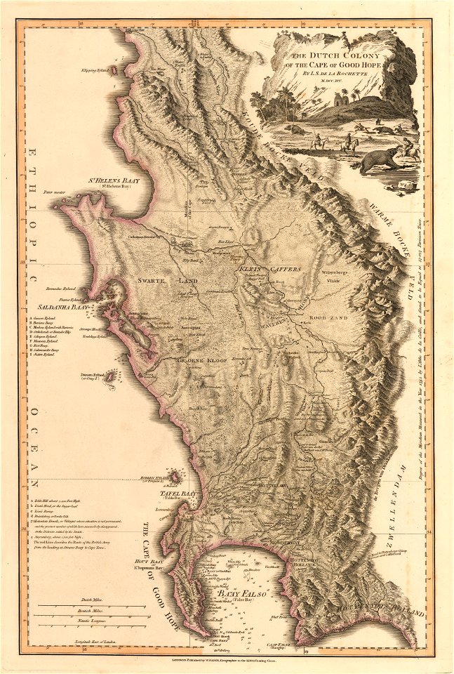
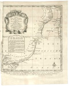
old maps of south africa
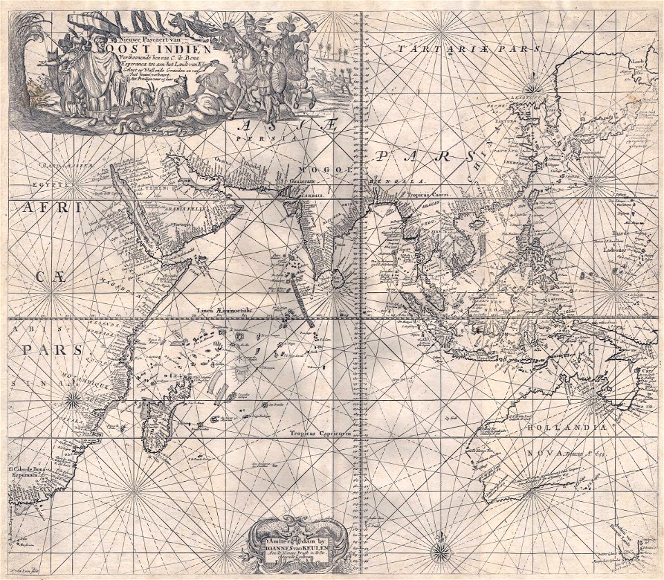
old maps of the dutch east india company - africa
maps by jacques-nicolas bellin
jacques-nicolas bellin
vintage maps
old maps of cape town
old maps of the dutch east india company
vintage
maps of the dutch east india company - south africa
old maps of the german colonies
old maps of colonial africa
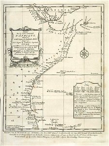
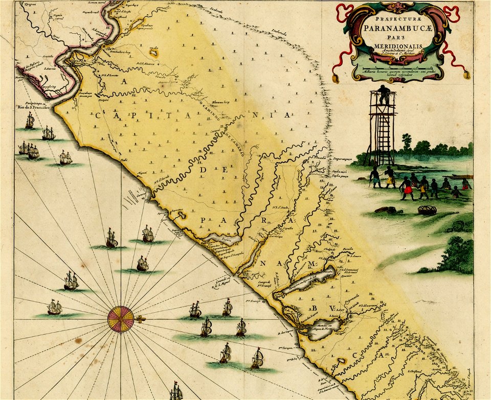
16th-century maps of brazil
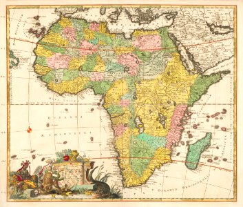
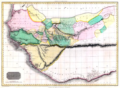
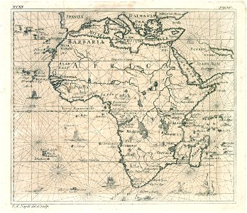
old maps of africa
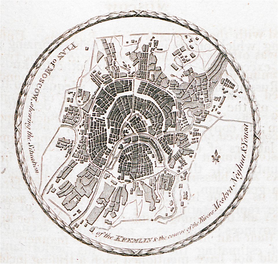
maps in the library of congress
old maps of south africa
old maps of south africa
tobias conrad lotter
maps in the library of congress
old maps of south africa
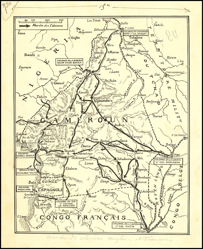
old maps of cameroon
old maps of liberia
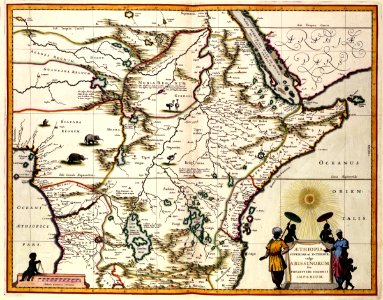
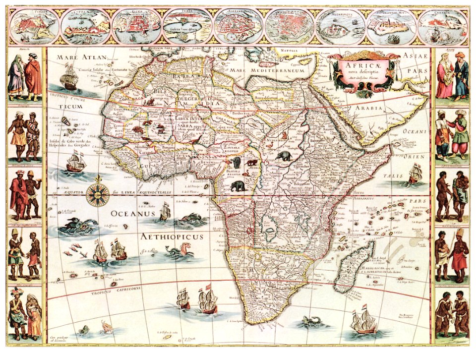
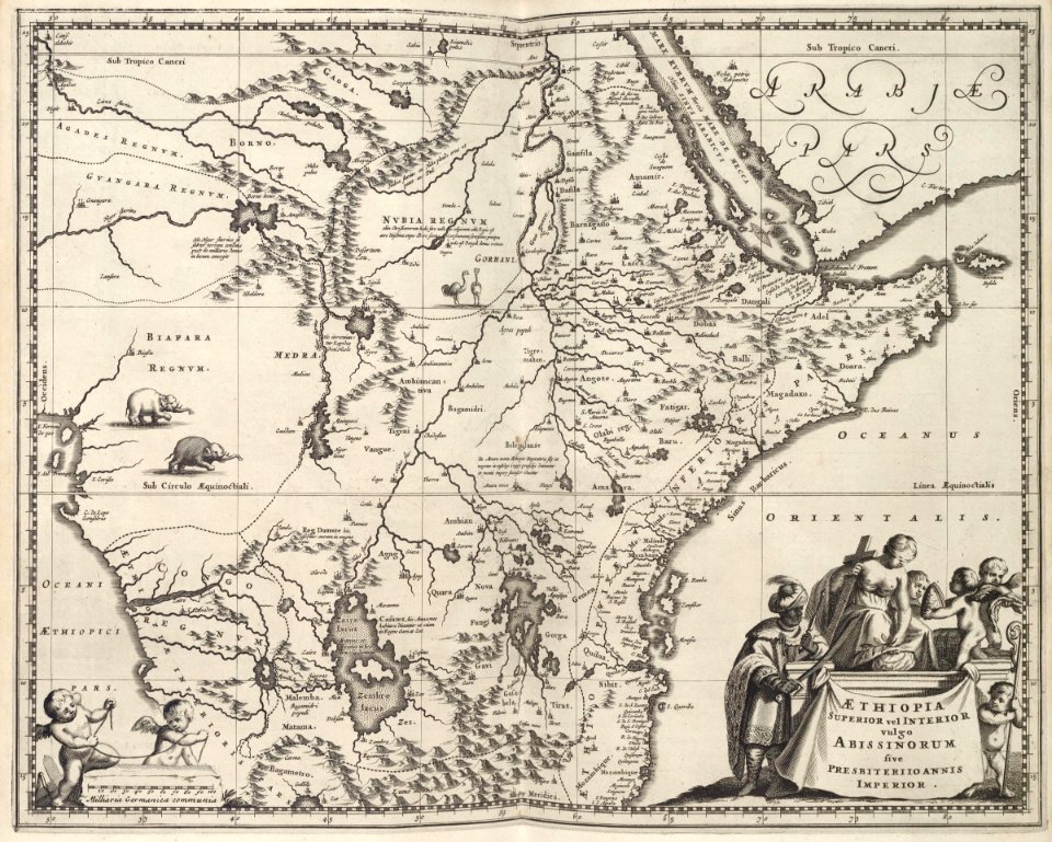
17th-century maps of africa
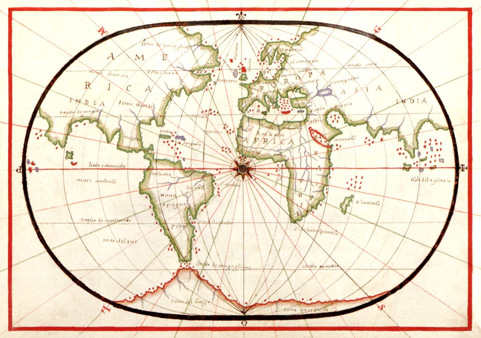
1635
description de l'universe
old maps of africa
illustration
maps
africa
maps
old maps of south africa
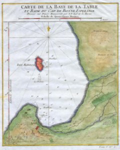
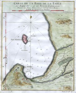
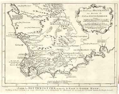
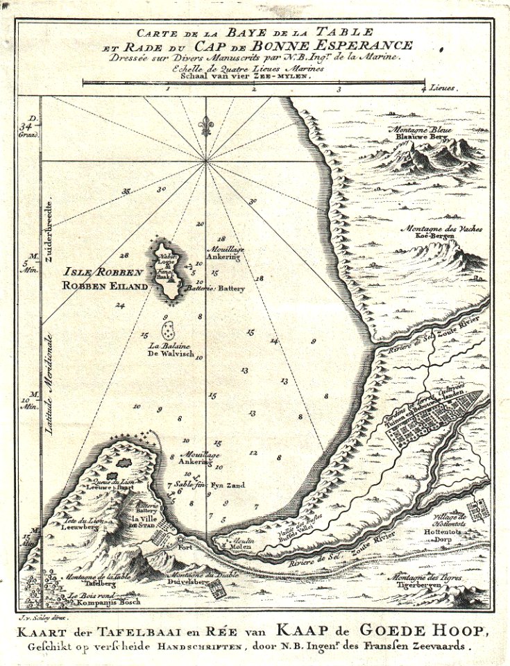
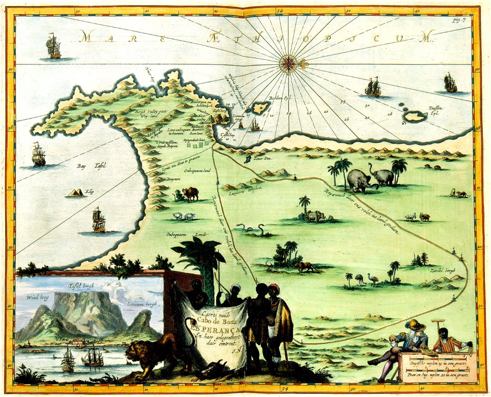
table bay
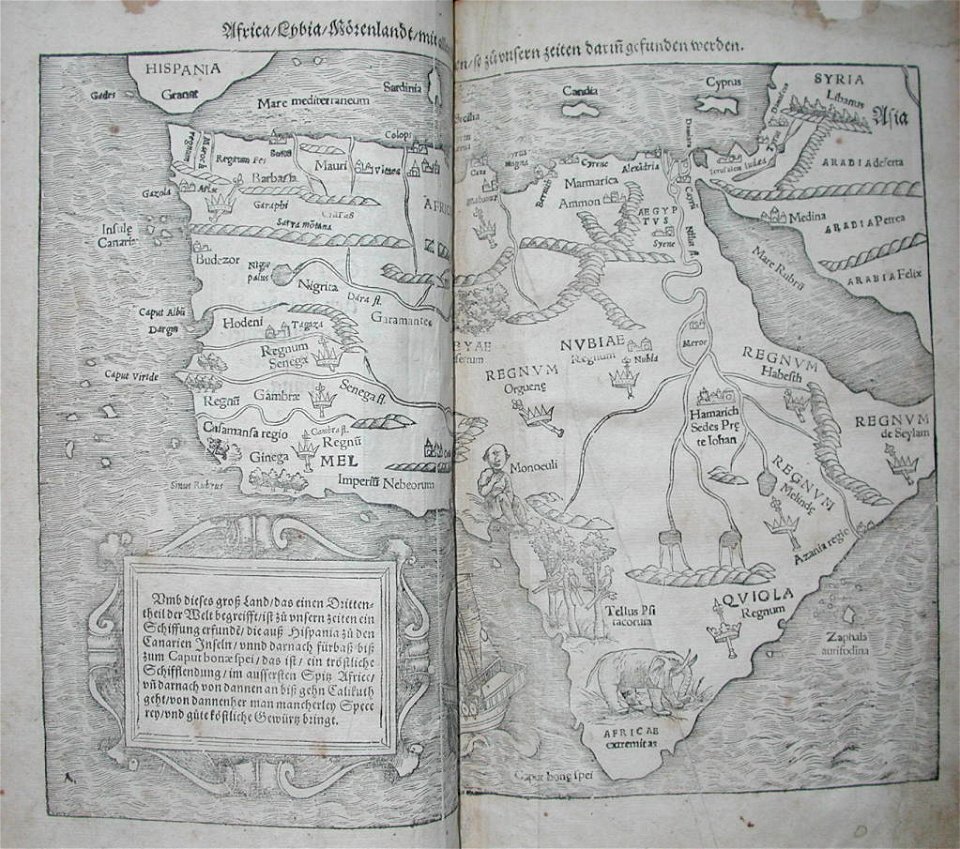
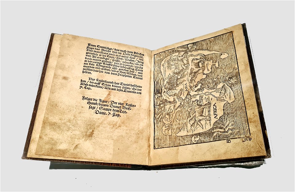
illustrations of cosmographia (münster)
old maps of africa
old maps of south africa
german-language maps
old maps of the dutch east india company - africa
1668
old maps of the dutch east india company - africa
1665
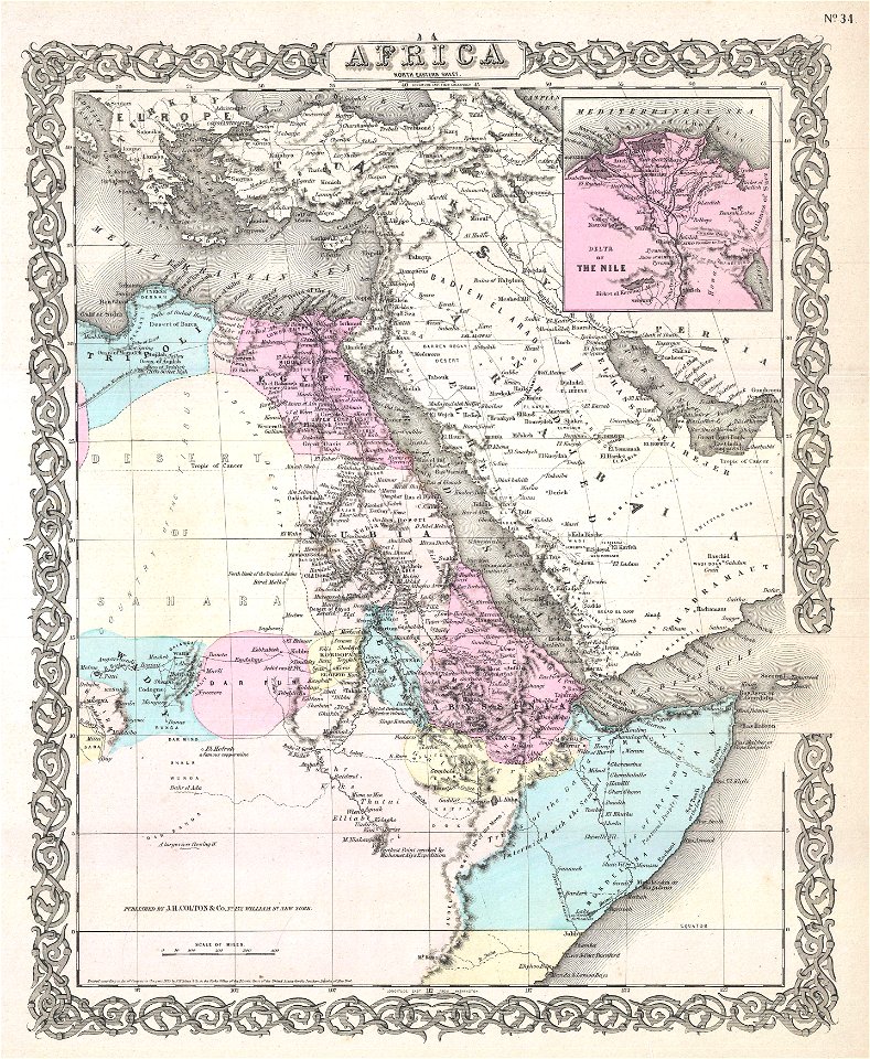
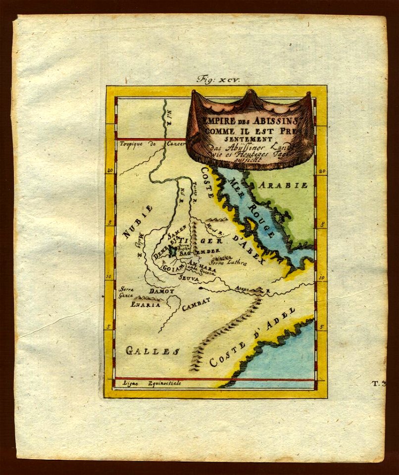
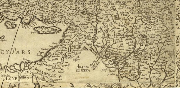
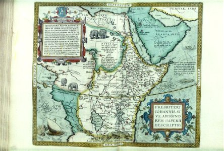
old maps of the middle east
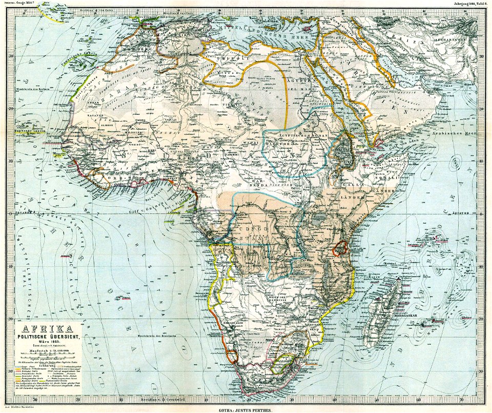
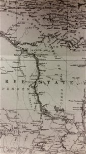
1855 maps
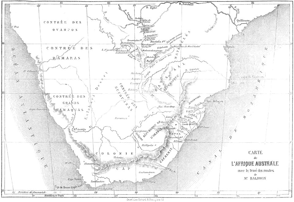
through the dark continent
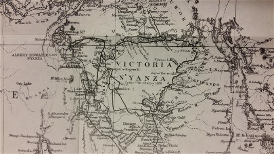
lake victoria
old maps of the dutch east india company - africa
1747)
africa
maps
description de l'universe
old maps of africa
description de l'universe
old maps of africa
old maps of australia
old maps of asia
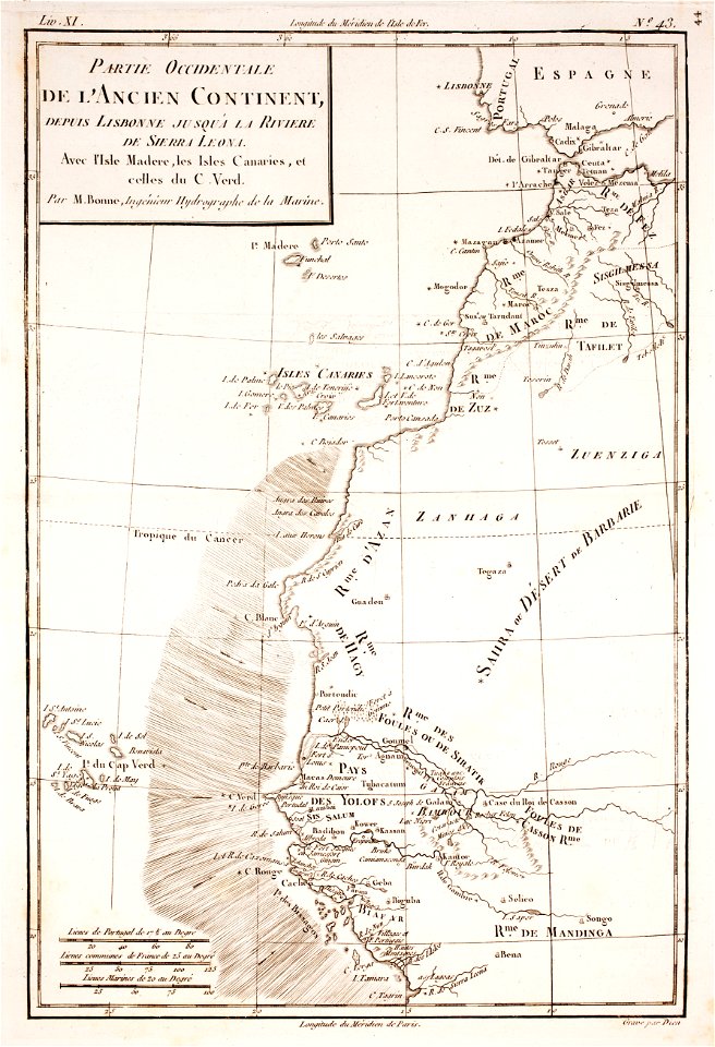
old maps of guinea-bissau
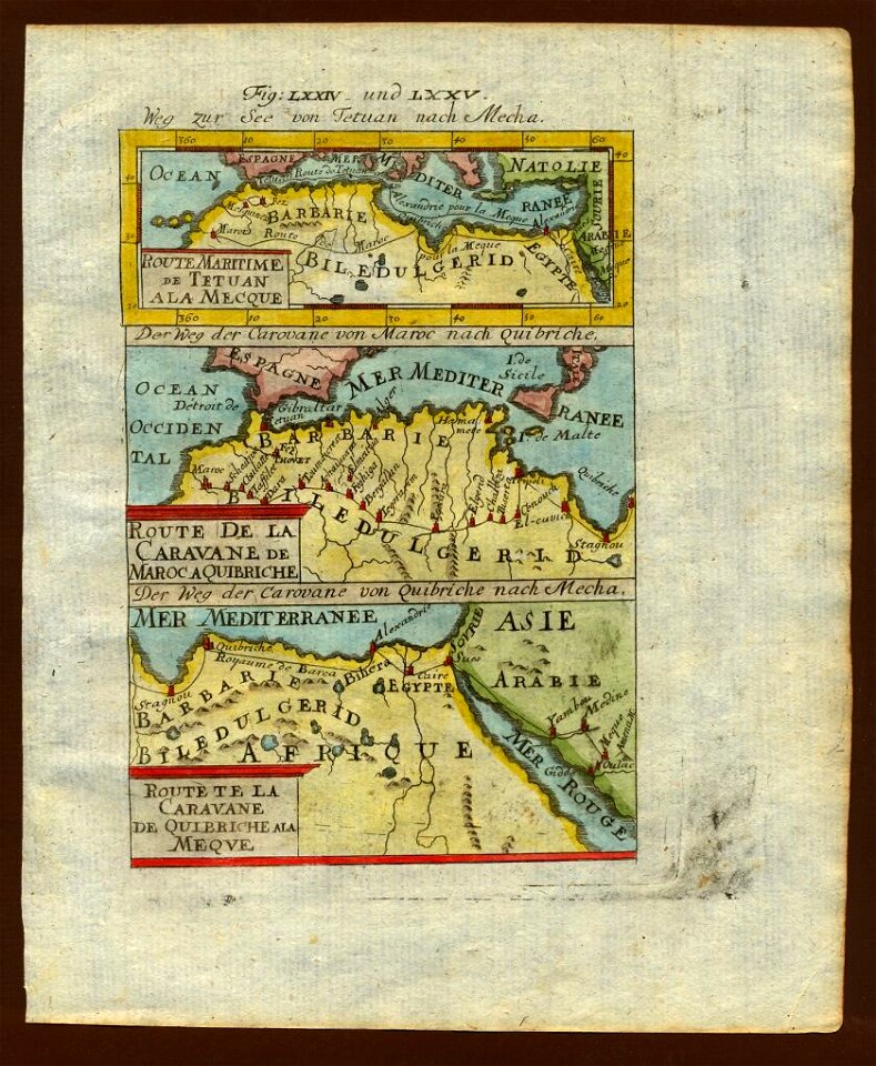
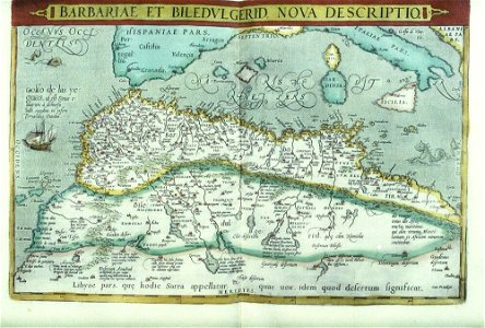
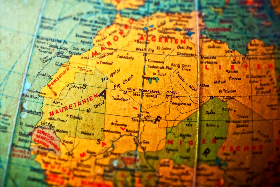
old maps of mauretania
old maps of south africa
table bay
old maps of guinea-bissau
old maps of liberia
old maps of south africa
swartland
description de l'universe
old maps of africa
description de l'universe
old maps of africa
description de l'universe
old maps of africa
description de l'universe
old maps of africa
description de l'universe
old maps of africa
description de l'universe
old maps of africa
description de l'universe
old maps of africa
description de l'universe
old maps of africa
old maps of south africa
maps by william faden
old maps of the dutch east india company - africa
1747)
old maps of the dutch east india company
1730s
old maps of the british isles
coats of arms on maps
old maps of australia
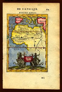
maps with cartouches
description de l'universe
old maps of saudi arabia
files from the bodleian libraries
old maps of africa
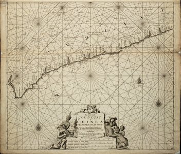
old maps of guinea
copper engraving
1780 maps of africa
1780 maps of egypt
maps
sea
old maps of the dutch east india company
1705
old maps of greece
old maps of turkey
hand-drawn maps and views of world war i battlefields by h.m.
old maps of cameroon
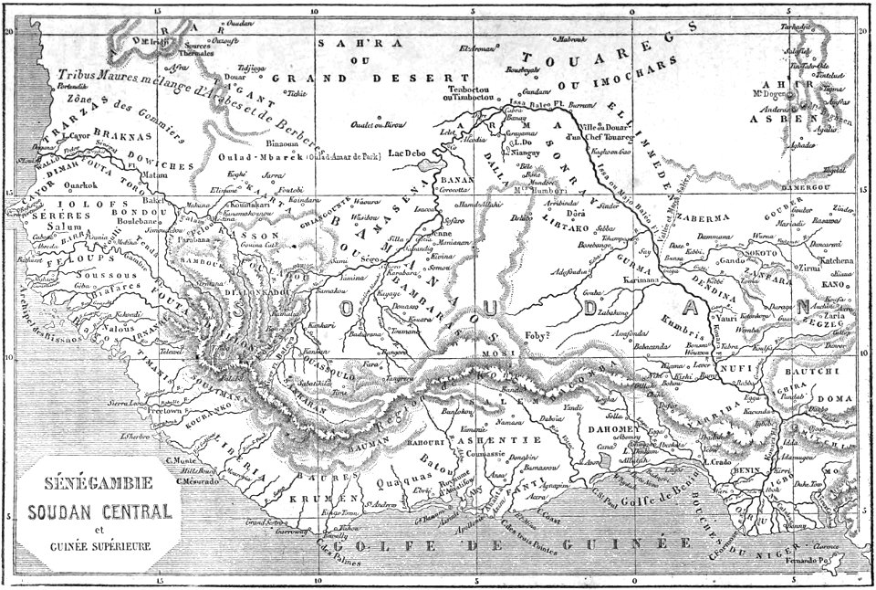
historical maps of western sahara
dien (printer)
old maps of the dutch east india company
1747)
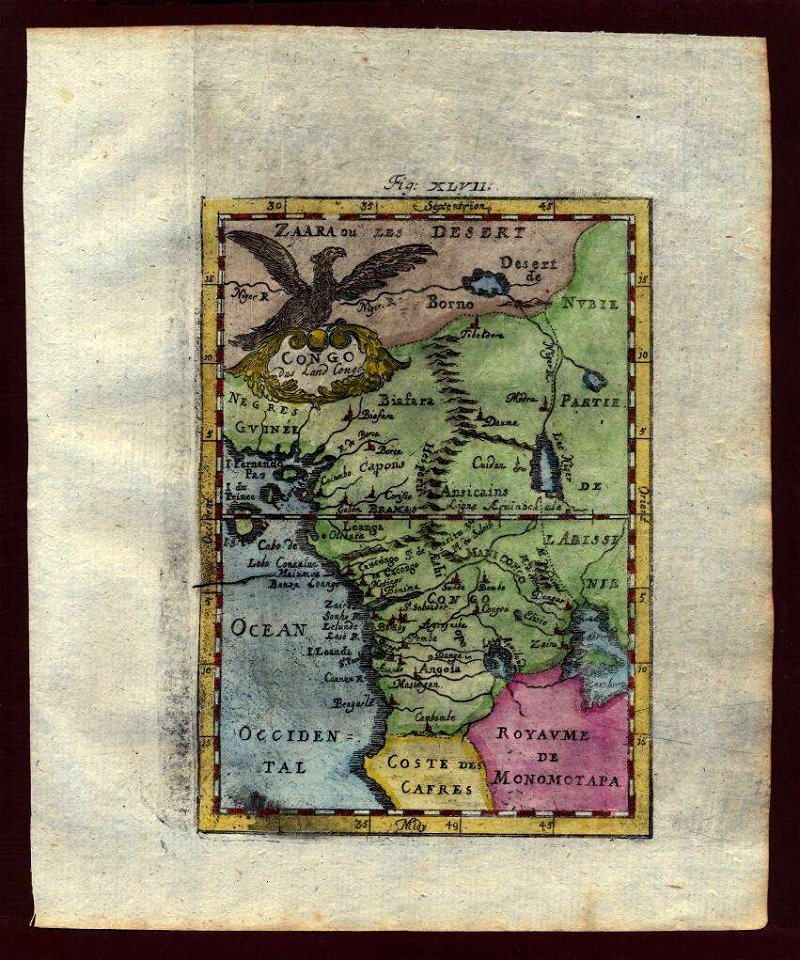
old maps of the democratic republic of the congo
lake tanganyika
old maps of the dutch east india company - africa
johannes van keulen
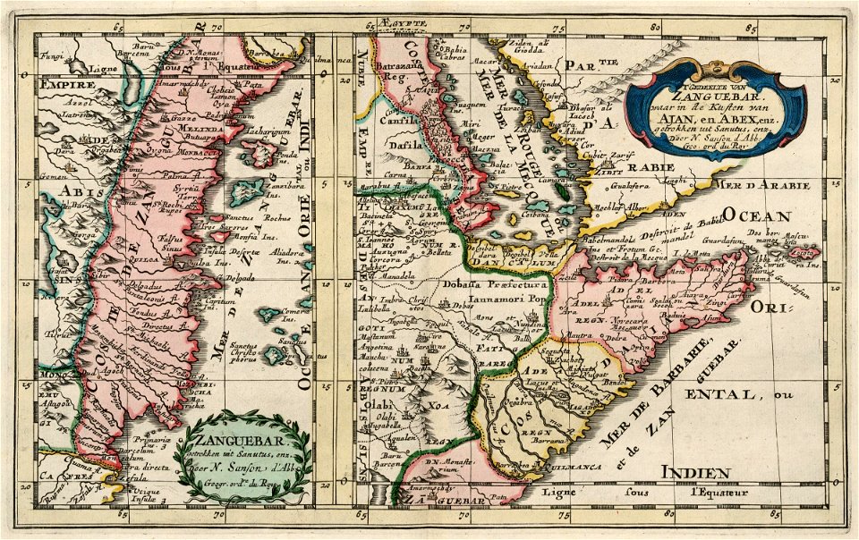
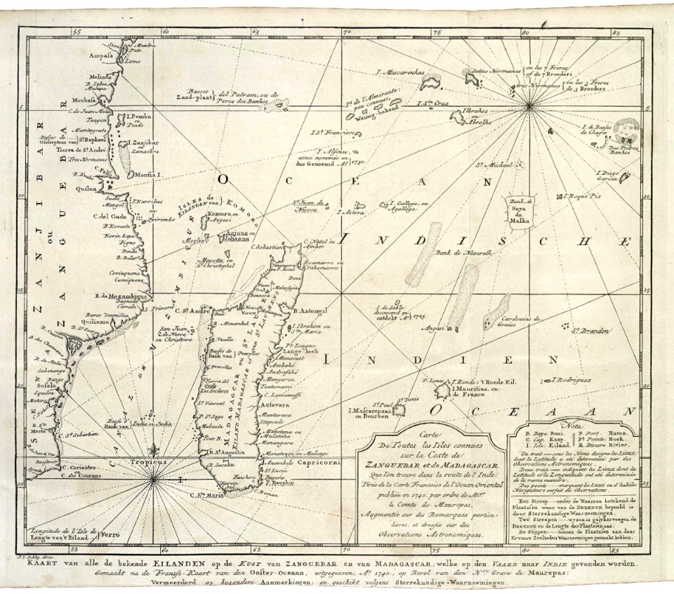
maps of the dutch east india company - madagascar
1635
moluccan
1614
old maps of the dutch east india company
1775
maps by jacques-nicolas bellin
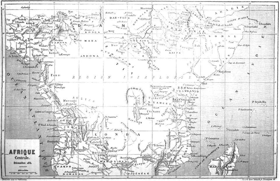
19th-century maps of africa
1747 maps
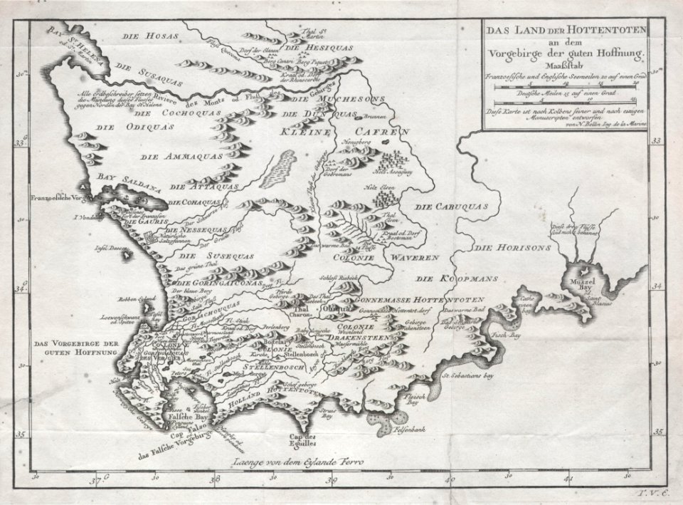
khoikhoi
gold mines in south africa
old maps of johannesburg
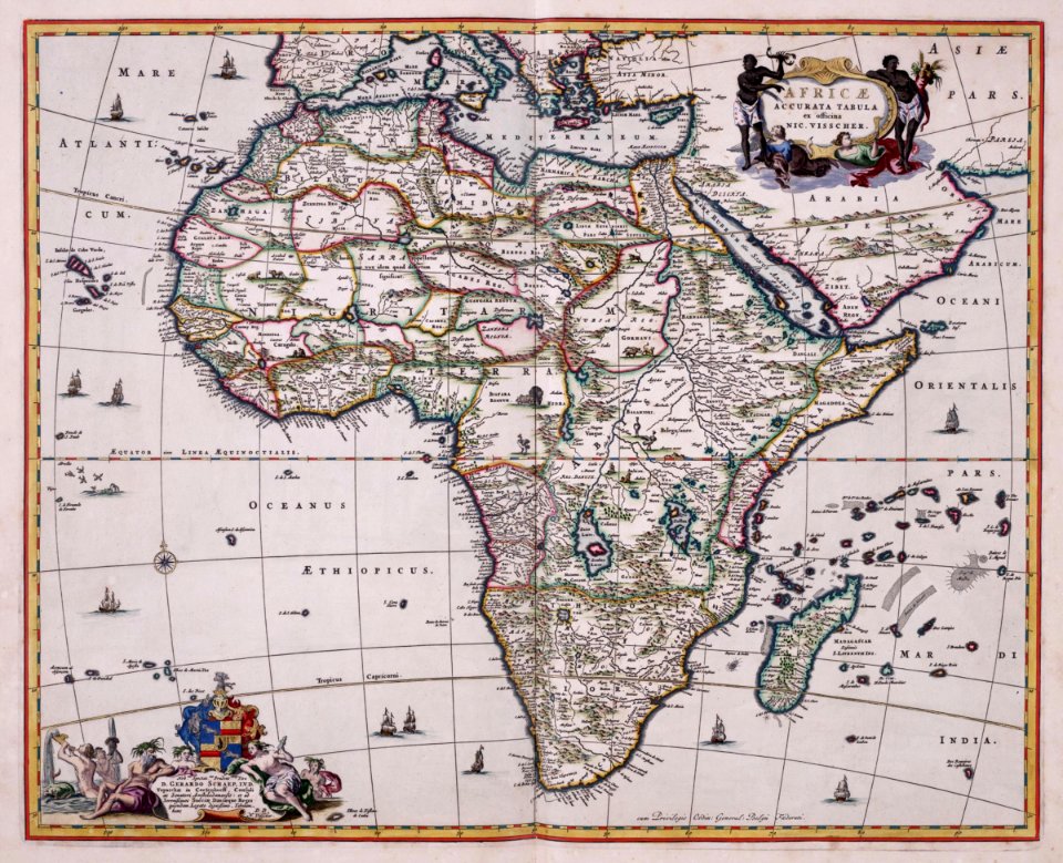
old maps of the dutch east india company - africa
nicolaes visscher ii
old maps of the dutch east india company - africa
1705
antique
maps
old maps of south africa
boer
volume 5 of le tour du monde
old maps of africa
maps by alexandre vuillemin
old maps of africa
18th-century maps of africa
engravings by jan luyken
travels in various countries of europe
asia and africa
old maps of the dutch east india company
1598
maps of the dutch east india company - madagascar
1747)
ogier gisleen van busbeke
1620 maps of europe
prints from bonne atlas de toutes les parties at the peace palace library
maps of the comoros
maps in musée de la compagnie des indes
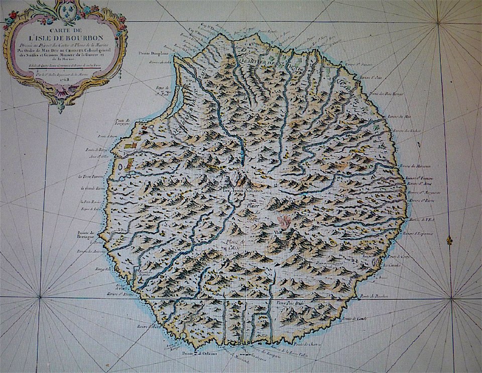
old maps of réunion
collections de la bibliothèque nationale et universitaire de strasbourg
old maps of asia
old maps of the middle east
1590 maps of iran
maps by jacques-nicolas bellin
table bay
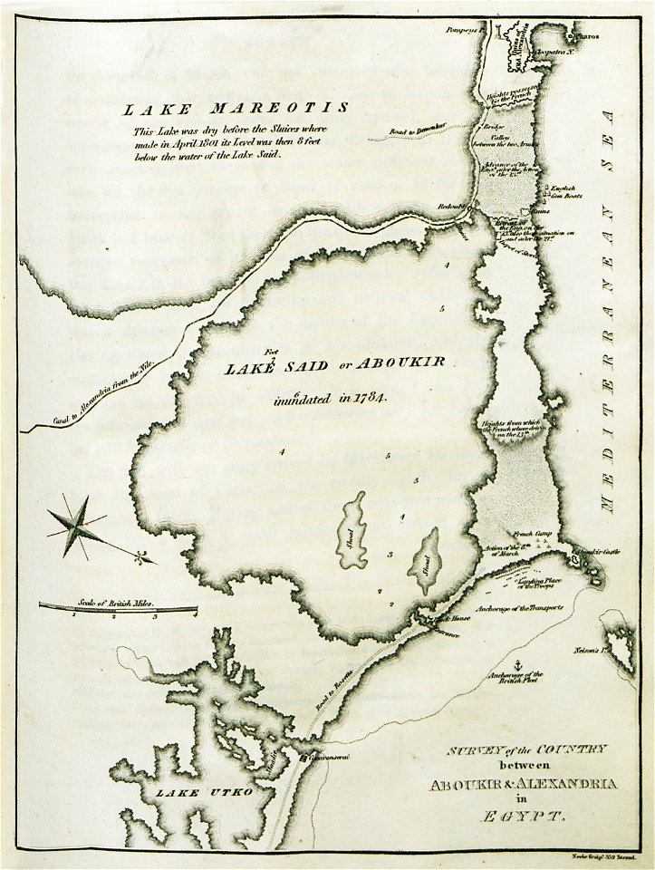
old maps of alexandria
asia and africa
old maps of africa
heinrich barth
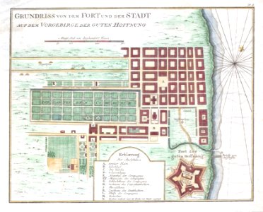
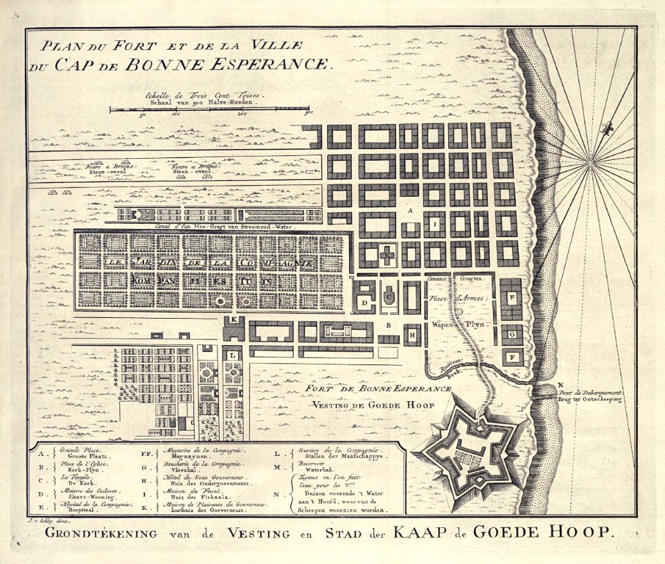
history of cape town
german-language maps
dutch 17th-century prints in the rijksmuseum amsterdam
old maps of africa
maps
sea
maps
sea
files from the bodleian libraries
old maps of africa
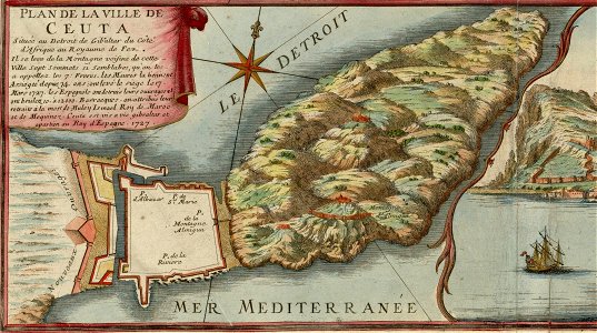
spain in the 1720s
nicolas de fer
volume 8 of le tour du monde
old maps of south africa
maps with cartouches
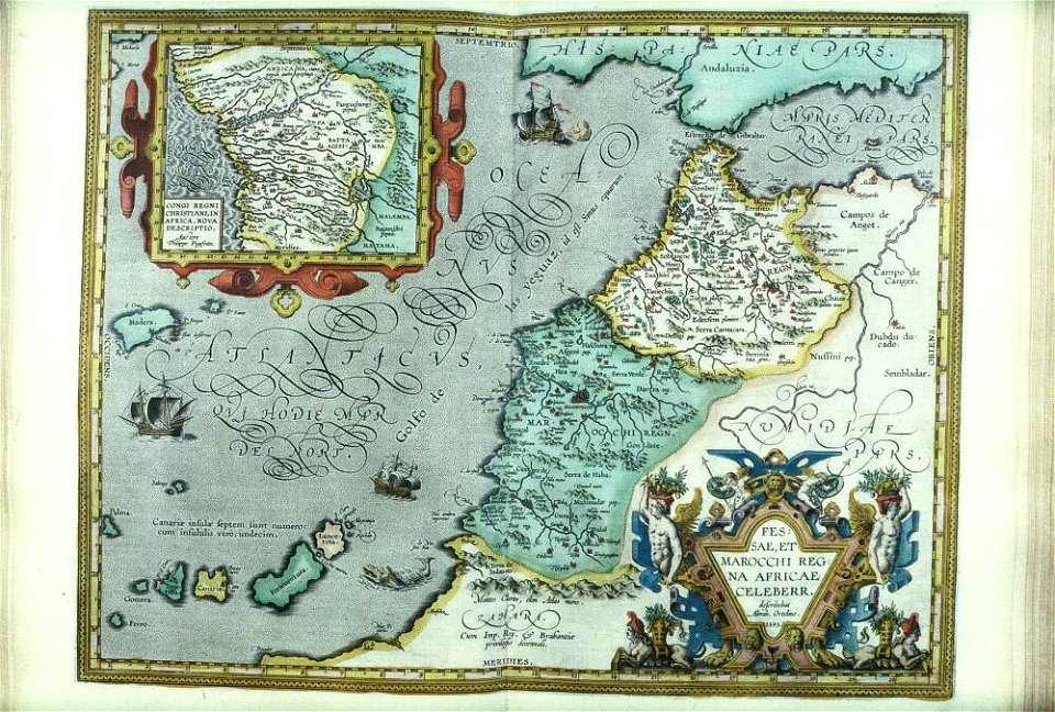
old maps of morocco
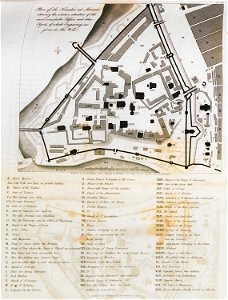
grand parade
cape town
files from the bodleian libraries
old maps of africa
old maps of the democratic republic of the congo
through the dark continent
17th-century engravings
frans post
atlas van der hagen (volume 4)
maps with cartouches
travels in various countries of europe
asia and africa
vintage
maps
africa - the problem of the new century (1899) by parks
old maps of haiti
building
maps
old maps of sierra leone
old maps of liberia
travel
maps
maps by frederick de wit
fredrik andersson
maps of the european exploration of africa
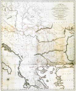
19th-century maps of south sudan
history of antwerp
renaissance
maps by thomas kitchin
andrew dury
maps by willem and johannes blaeu
old maps of tripoli
maps from the earth and its inhabitants, vol. xii
africa in the 1890s
1 - 100 of 239
Next page
/ 3