Log in
All resources
Create a design
47 Free Images of Old Maps Of South Africa
old maps of cape town
maps of the dutch east india company - south africa
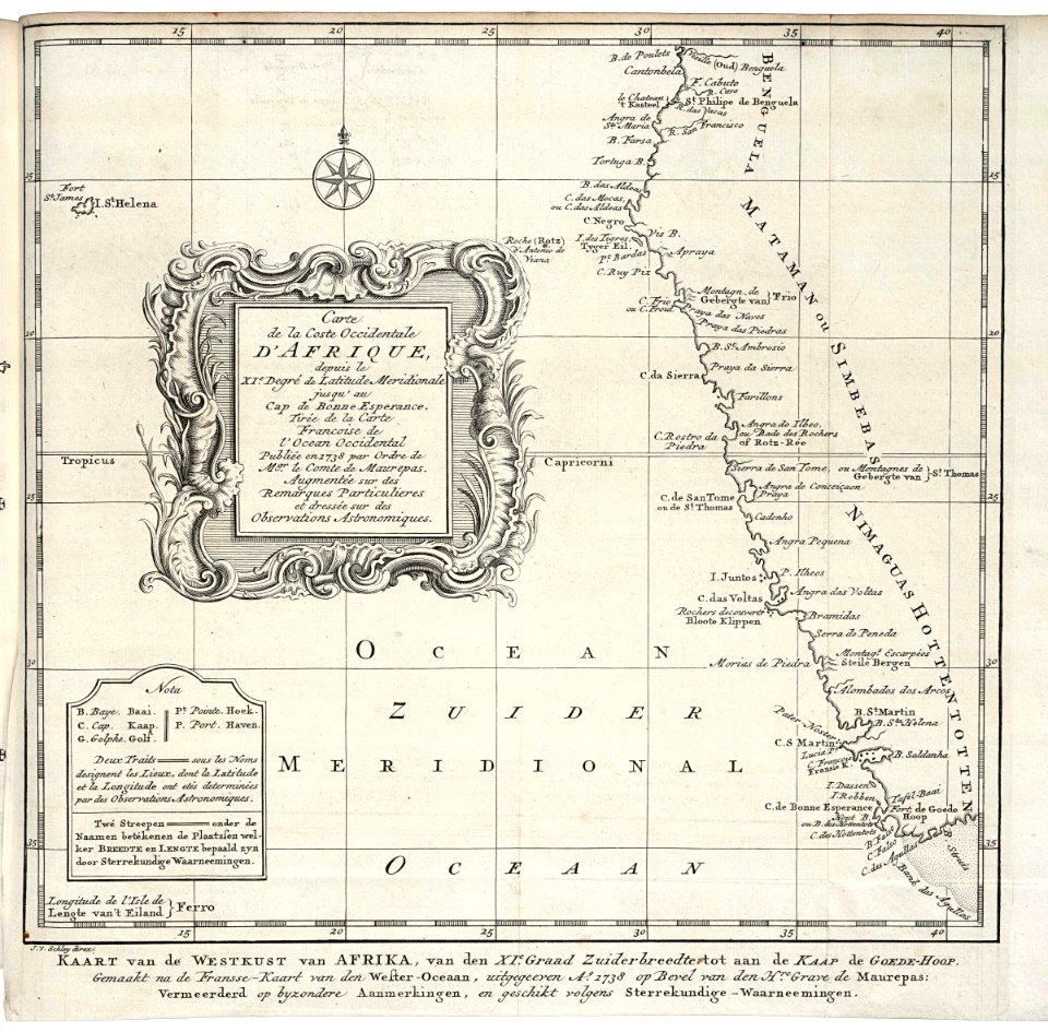
maps by jacques-nicolas bellin
jacques-nicolas bellin
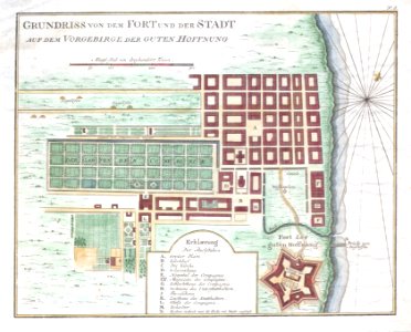
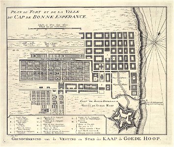
maps of the cape of good hope
old maps of cape peninsula
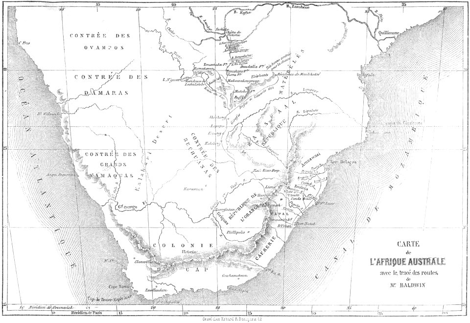
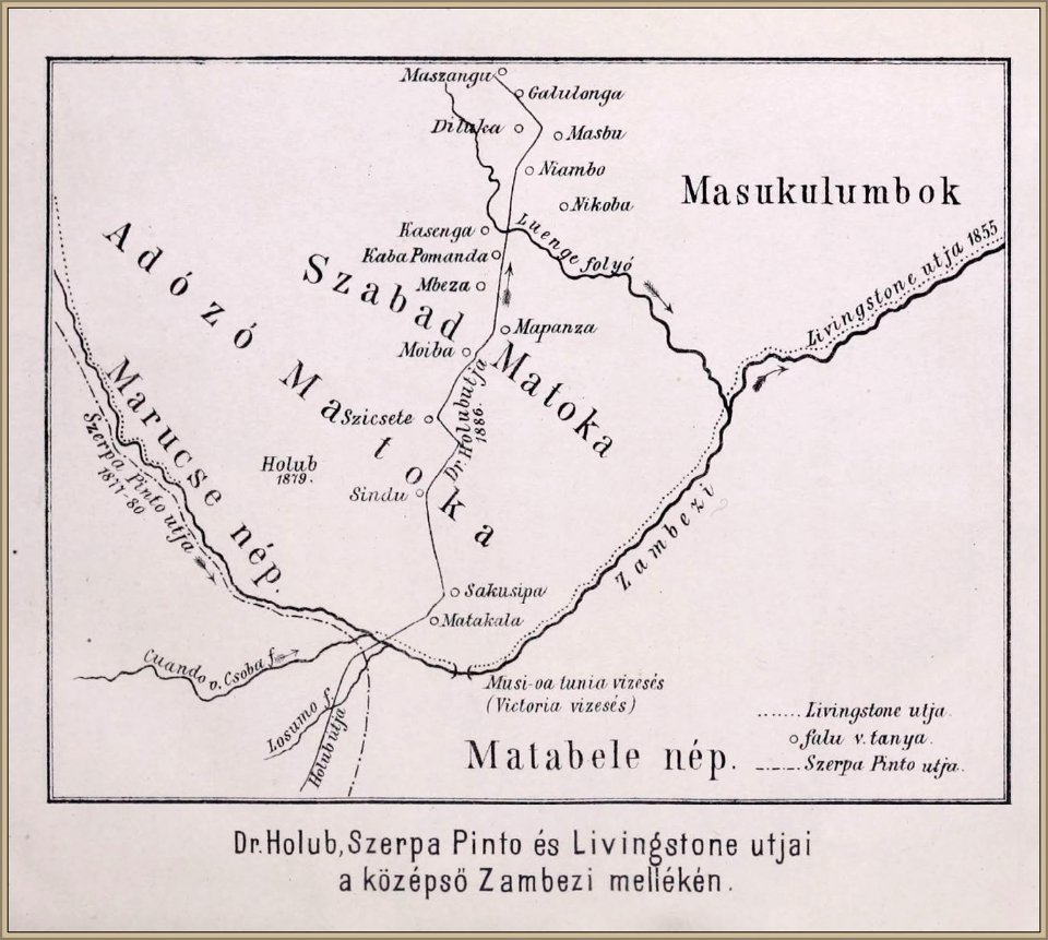
emil holub
maps from the earth and its inhabitants, vol. xiii
historical
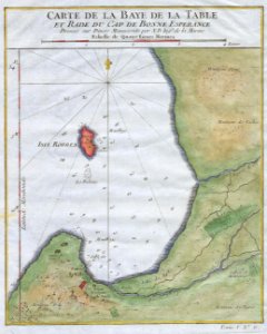
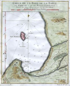
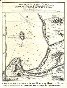
table bay
maps in the library of congress
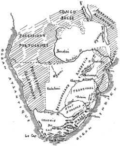
old maps of south africa
maps in the library of congress
old maps of south africa
old maps of south africa
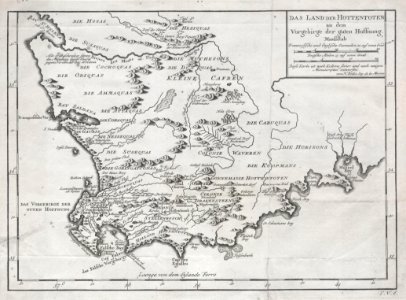
german-language maps
old maps of south africa
table bay
old maps of south africa
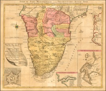
tobias conrad lotter
old maps of south africa
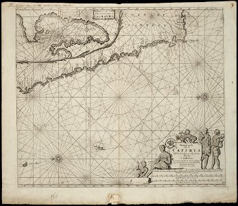
table bay
old maps of the dutch east india company
1747)
africa
maps
old maps of south africa
swartland
old maps of south africa
maps by william faden
old maps of south africa
boer
gold mines in south africa
old maps of johannesburg
1747 maps
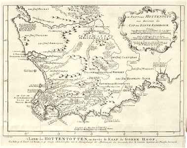
khoikhoi
old maps of the dutch east india company - africa
1747)
old maps of the dutch east india company - africa
johannes van keulen
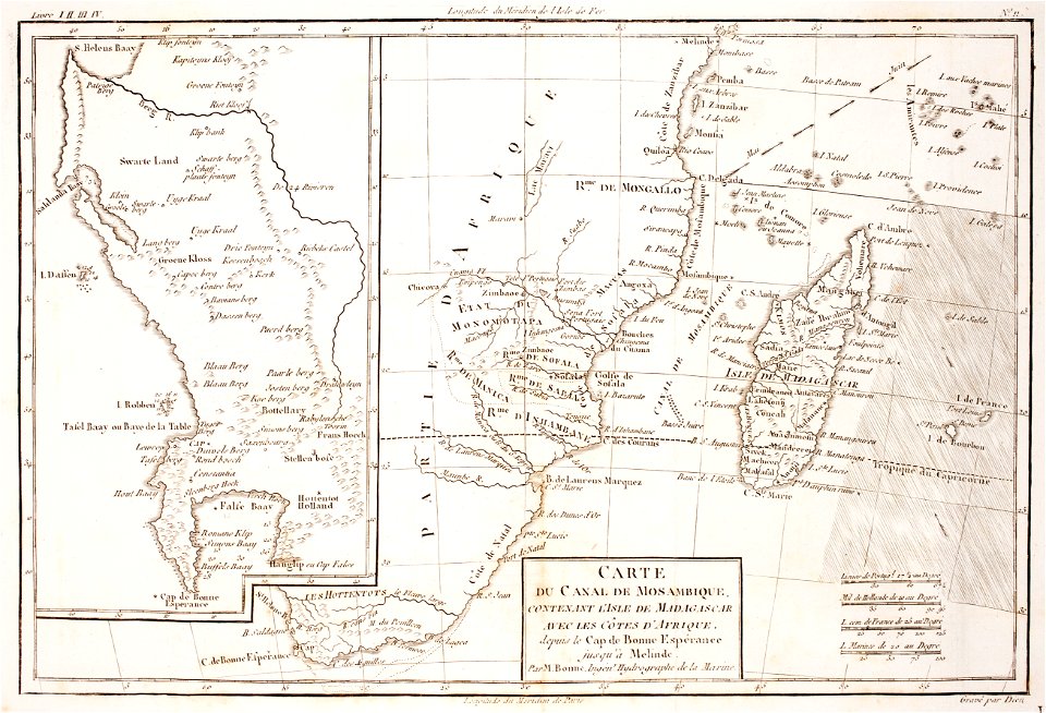
maps of the dutch east india company - madagascar
1635
volume 8 of le tour du monde
old maps of south africa
prints from bonne atlas de toutes les parties at the peace palace library
maps of the comoros
history of cape town
german-language maps
maps by jacques-nicolas bellin
table bay
grand parade
cape town
history of antwerp
renaissance
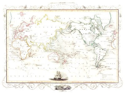
maps of the european exploration of africa
19th-century maps of south sudan
old maps of south africa
1879 maps of africa
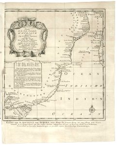
romance of empire - south africa
old maps of south africa
hendrik van langren map of south asia
renaissance
old maps of south africa
emil holub
maps from the earth and its inhabitants, vol. xiii
maps of weather and climate of south africa
maps of the cape of good hope
old maps of cape peninsula
maps by john cary
1806 maps of asia
old maps of south africa
emil holub
maps from the earth and its inhabitants, vol. xiii
ethnographic maps of africa
old maps of south africa
emil holub
1800s maps of egypt
maps by john cary
maps by john cary
1801 maps
old maps of south africa
maps of transvaal
old maps of south africa
maps of the great trek
historical
history
maps of the dutch east india company - south africa
1747 maps
a class-book of modern geography (1898)
1890s maps of south africa
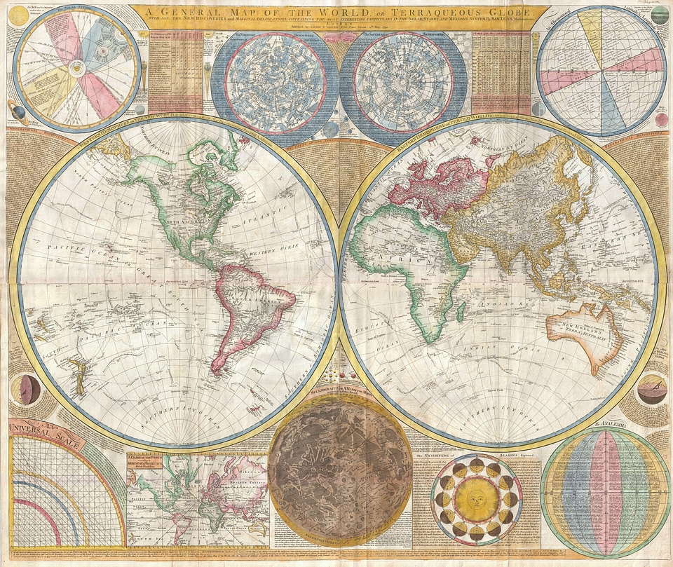
18th-century maps of antarctica
1741 maps
africa
maps
historical
history
maps by joachim bormeester
1685 maps
historical
history
images released by british library images online, march 2014
british library asia, pacific and africa collections
1650s maps of the americas
1658 maps
1 - 47 of 47
/ 1