Log in
All resources
Create a design
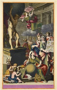
105 Free Images of Atlantis Magni Tomus Secundus (biblioteca Comunale Di Trento)
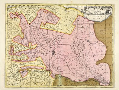
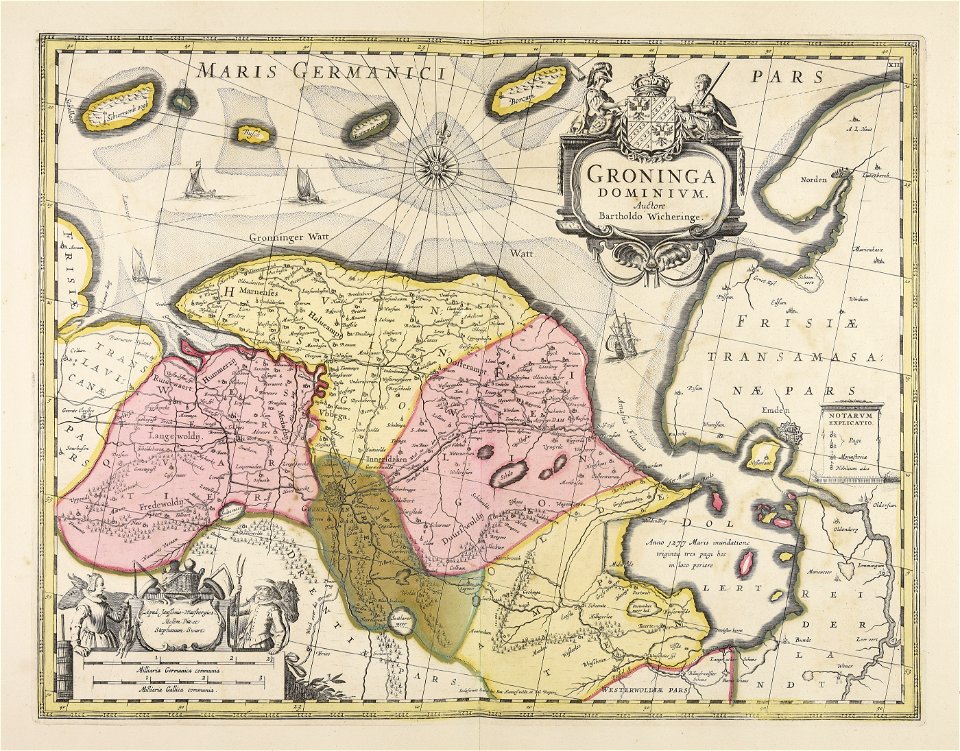
maps made in the 17th century
maps by pieter schenk (i)
gerard valck
nicolaes visscher ii
maps by gerard valck
municipal library of trento
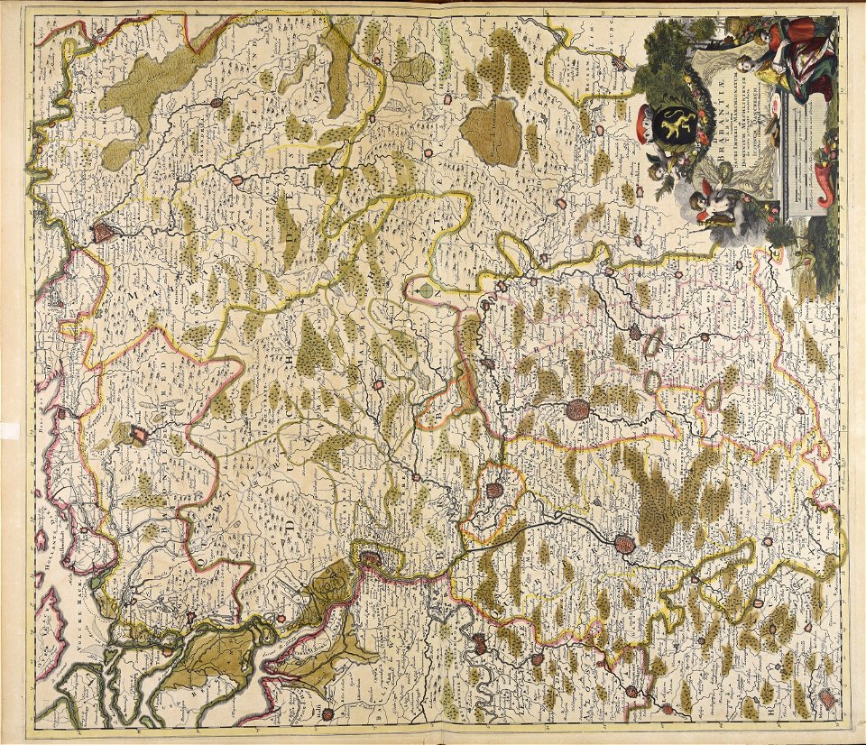
old maps of brabant
jan janssonius
maps made in the 18th century
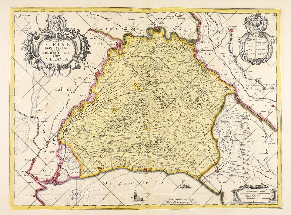
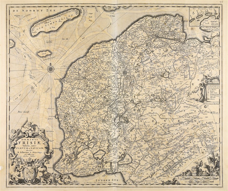
old maps of gelderland
atlantis magni tomus secundus (biblioteca comunale di trento)
atlantis magni tomus secundus (biblioteca comunale di trento)
maps made in the 17th century
atlantis magni tomus secundus (biblioteca comunale di trento)
maps made in the 17th century
maps made in the 17th century
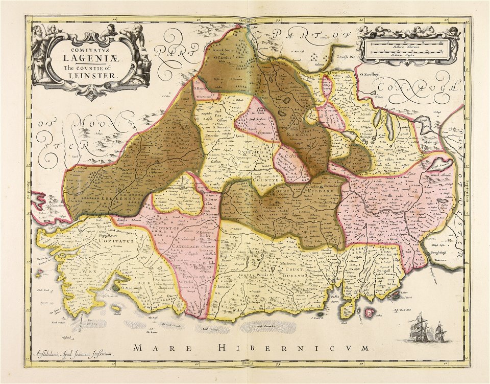
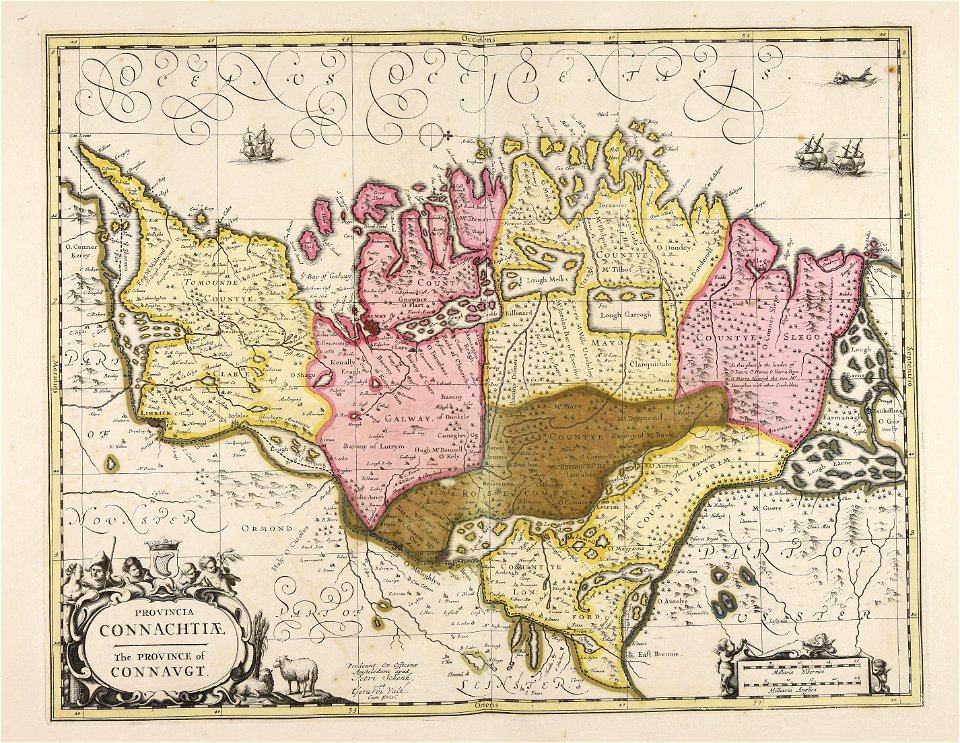
leinster
atlantis magni tomus secundus (biblioteca comunale di trento)
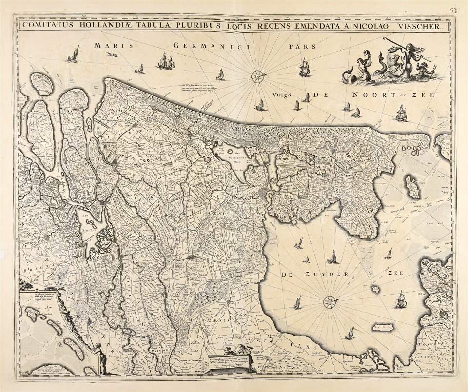
olanda settentrionale
maps made in the 17th century
jan janssonius
maps made in the 17th century
ulster
maps made in the 17th century
nicolaes visscher ii
maps made in the 17th century
frederick de wit
maps made in the 17th century
nicolaes visscher ii
maps made in the 17th century
nicolaes visscher ii
maps made in the 17th century
nicolaes visscher ii
atlantis magni tomus secundus (biblioteca comunale di trento)
maps made in the 17th century
maps made in the 17th century
jan janssonius
atlantis magni tomus secundus (biblioteca comunale di trento)
maps made in the 17th century
maps made in the 17th century
old maps of gelderland
maps made in the 17th century
nicolaes visscher ii
maps made in the 17th century
jan janssonius
atlantis magni tomus secundus (biblioteca comunale di trento)
maps made in the 17th century
maps made in the 17th century
nicolaes visscher ii
maps made in the 17th century
jan janssonius
maps made in the 17th century
jan janssonius
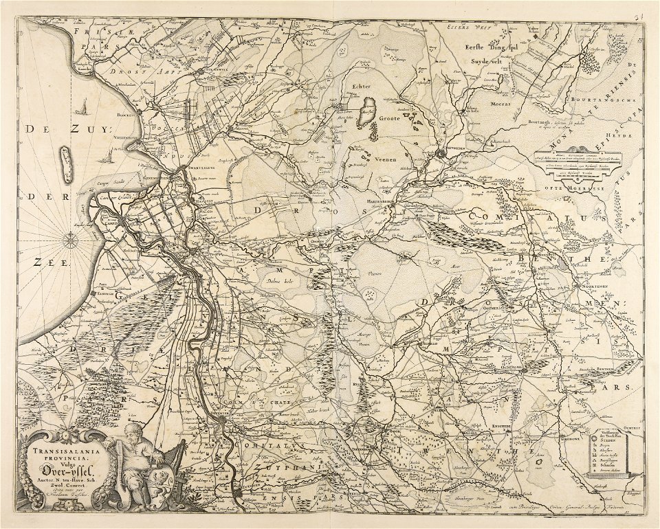
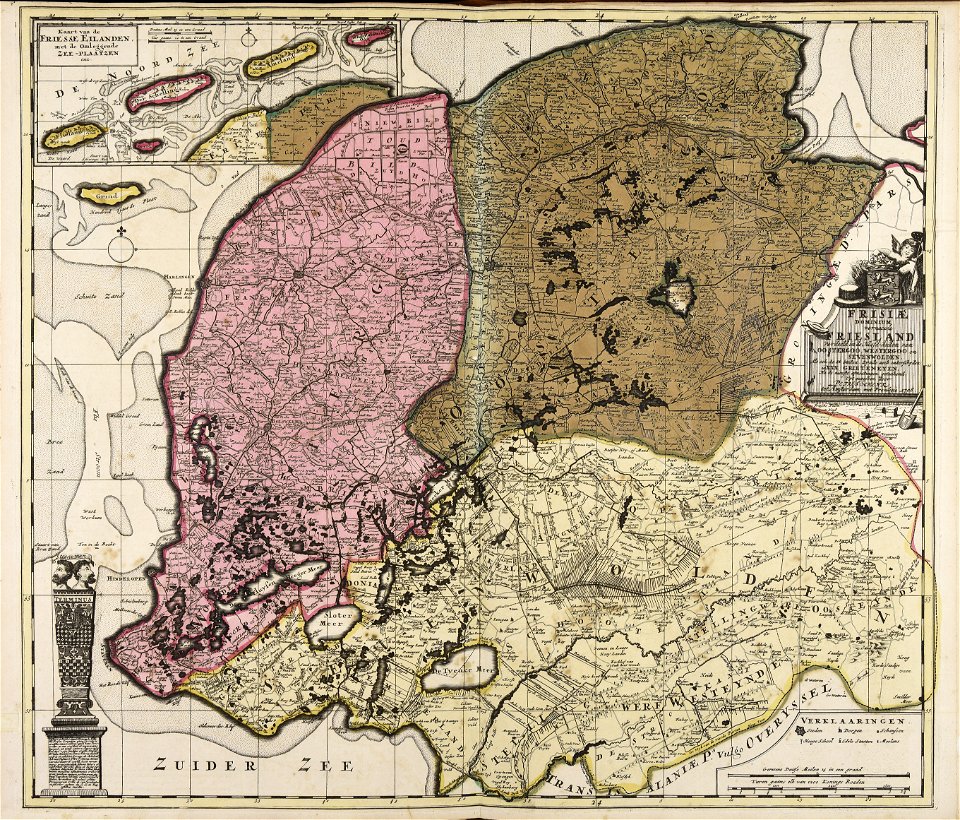
old maps of overijssel
old maps of drenthe
maps made in the 17th century
old maps of gelderland
maps made in the 17th century
old maps of overijssel
atlantis magni tomus secundus (biblioteca comunale di trento)
maps made in the 17th century
maps made in the 17th century
old maps of gelderland
maps made in the 17th century
paesi bassi
maps made in the 17th century
gerard valck
maps made in the 17th century
nicolaes visscher ii
atlantis magni tomus secundus (biblioteca comunale di trento)
maps made in the 17th century
atlantis magni tomus secundus (biblioteca comunale di trento)
maps made in the 17th century
atlantis magni tomus secundus (biblioteca comunale di trento)
maps made in the 17th century
maps made in the 17th century
gerard valck
atlantis magni tomus secundus (biblioteca comunale di trento)
maps made in the 17th century
maps made in the 17th century
old maps of gelderland
atlantis magni tomus secundus (biblioteca comunale di trento)
nicolaes visscher ii
maps made in the 17th century
old maps of gelderland
maps made in the 18th century
paesi bassi
maps made in the 17th century
belgio
maps made in the 17th century
nicolaes visscher ii
maps made in the 17th century
gerard valck
atlantis magni tomus secundus (biblioteca comunale di trento)
maps made in the 17th century
atlantis magni tomus secundus (biblioteca comunale di trento)
maps made in the 17th century
maps made in the 17th century
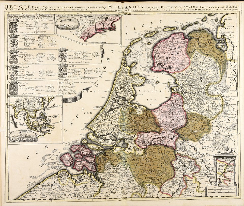
netherlands
atlantis magni tomus secundus (biblioteca comunale di trento)
maps made in the 17th century
maps made in the 17th century
gerard valck
maps made in the 17th century
nicolaes visscher ii
maps by pieter schenk (i)
gerard valck
maps made in the 17th century
gerard valck
atlantis magni tomus secundus (biblioteca comunale di trento)
maps made in the 17th century
maps made in the 18th century
works by guillaume delisle
maps made in the 17th century
nicolaes visscher ii
maps made in the 18th century
belgio
maps made in the 17th century
nicolaes visscher ii
atlantis magni tomus secundus (biblioteca comunale di trento)
maps made in the 17th century
maps made in the 17th century
nicolaes visscher ii
maps made in the 17th century
nicolaes visscher ii
maps made in the 17th century
gerard valck
atlantis magni tomus secundus (biblioteca comunale di trento)
maps made in the 17th century
maps made in the 17th century
nicolaes visscher ii
maps made in the 17th century
nicolaes visscher ii
maps made in the 17th century
nicolaes visscher ii
maps made in the 17th century
nicolaes visscher ii
maps made in the 17th century
nicolaes visscher ii
maps made in the 17th century
nicolaes visscher ii
atlantis magni tomus secundus (biblioteca comunale di trento)
maps made in the 17th century
maps made in the 18th century
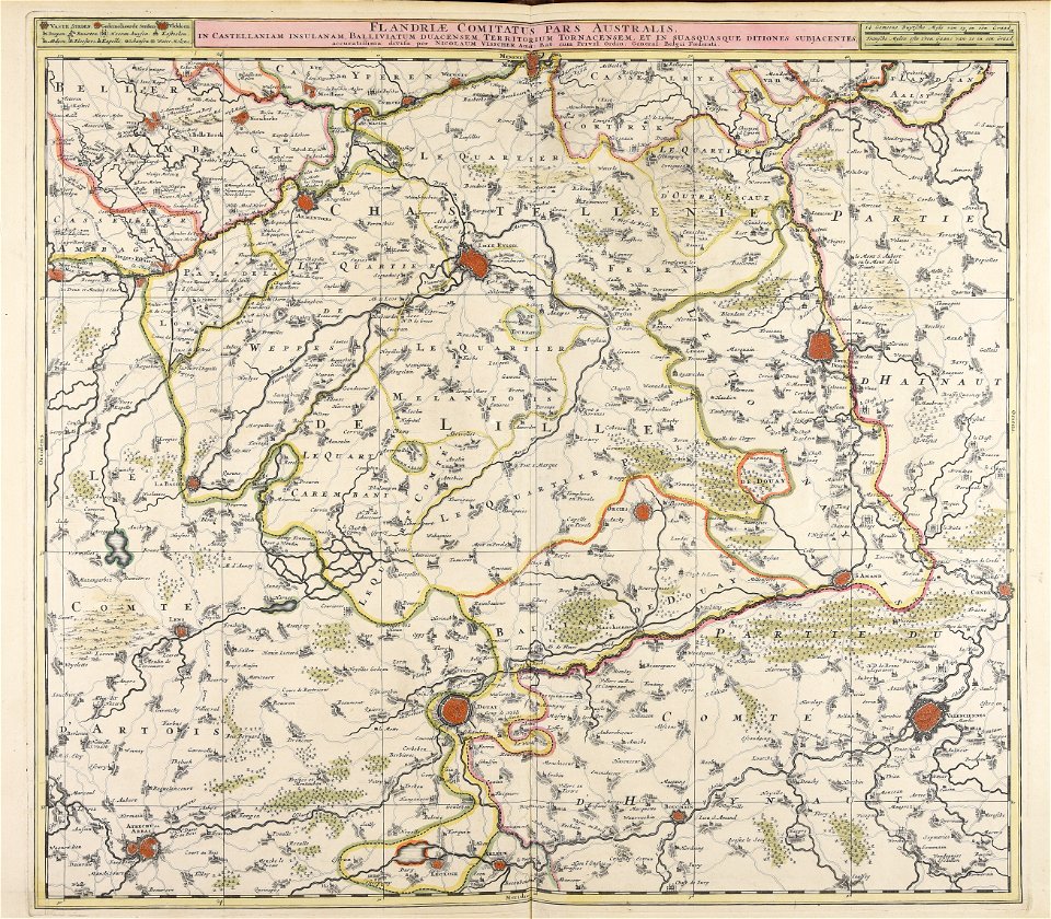
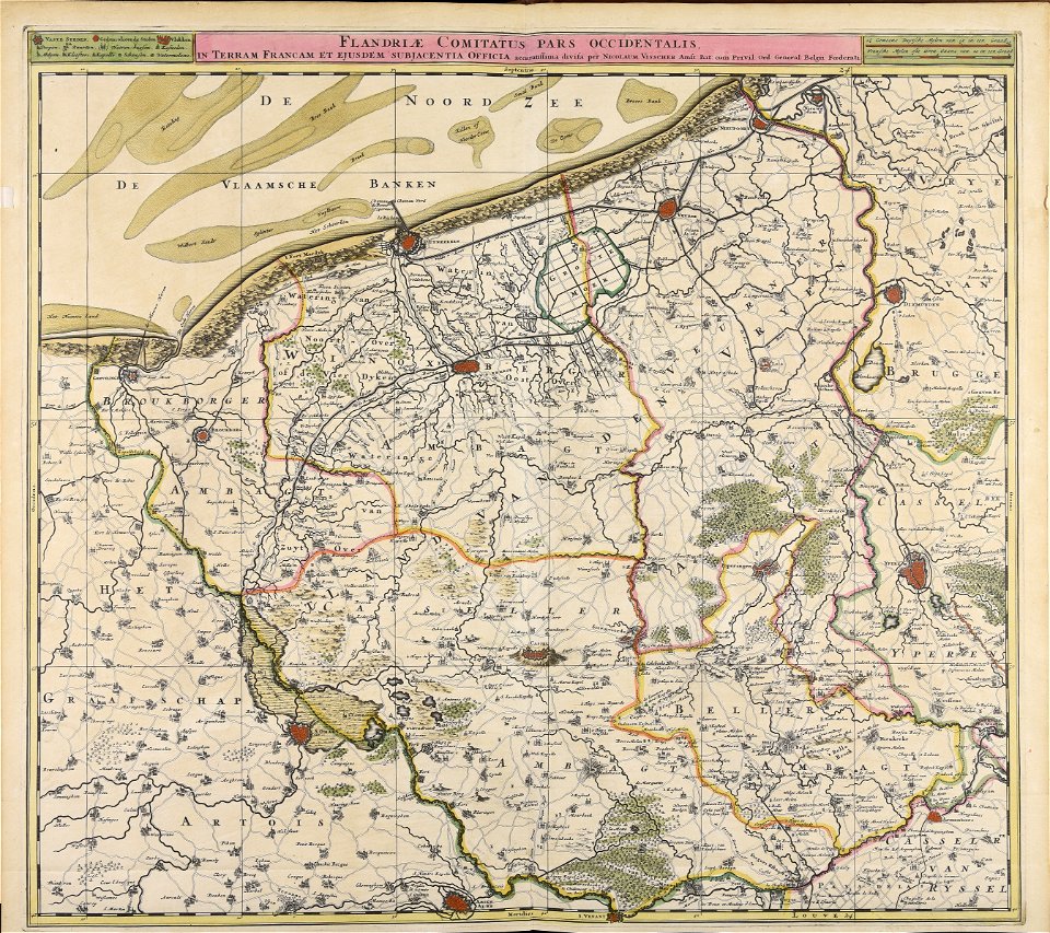
old maps of flanders
maps made in the 17th century
gerard valck
maps made in the 17th century
old maps of gelderland
old maps of the british isles
maps made in the 18th century
maps made in the 17th century
lochaber
maps made in the 17th century
gerard valck
maps made in the 17th century
gerard valck
maps made in the 17th century
gerard valck
maps made in the 17th century
nicolaes visscher ii
maps made in the 18th century
maps by pieter schenk (i)
old maps of ireland
gerard valck
old maps of ireland
gerard valck
maps made in the 17th century
gerard valck
maps made in the 17th century
nicolaes visscher ii
maps made in the 17th century
nicolaes visscher ii
maps made in the 17th century
gerard valck
maps made in the 17th century
gerard valck
hatched coats of arms
old maps of ireland
old county maps of hampshire
old county maps of berkshire
maps made in the 17th century
old county maps of cornwall
maps made in the 17th century
cambrai (arcidiocesi)
17th-century maps of ireland
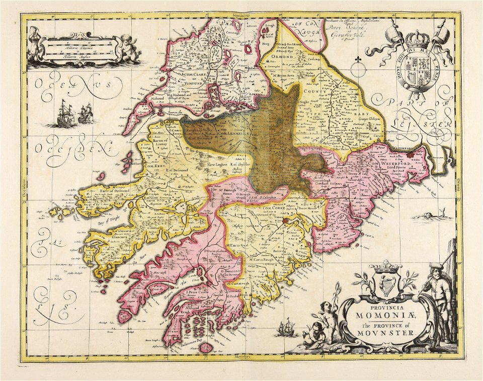
maps of munster, ireland
17th-century maps of cumberland
old county maps of cumberland
17th-century maps of ireland
old maps of connaught
17th-century maps of radnorshire
old county maps of radnorshire
17th-century maps of devon
old county maps of devon
17th-century maps of essex
old county maps of essex
17th-century maps of lancashire
old county maps of lancashire
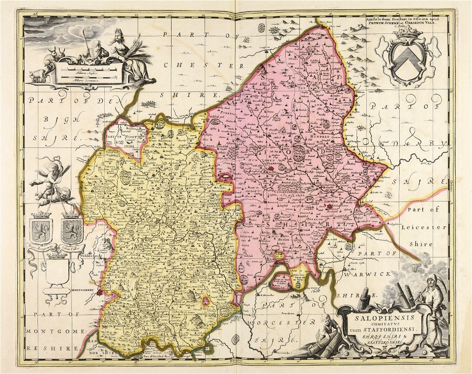
old county maps of staffordshire
old county maps of shropshire
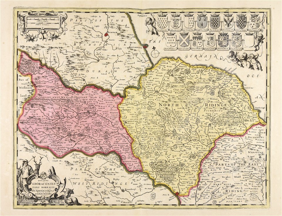
old county maps of the north riding of yorkshire
maps made in the 17th century
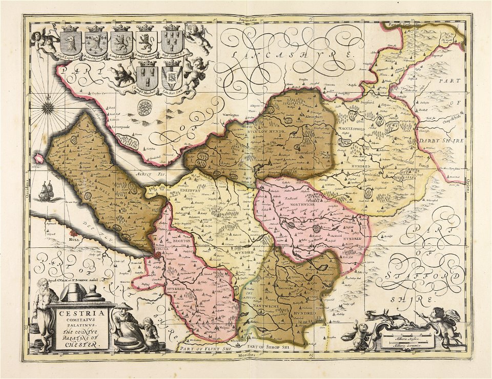
17th-century maps of cheshire
old county maps of cheshire
old county maps of gloucestershire
old county maps of monmouthshire
old county maps of leicestershire
old county maps of rutland
1 - 100 of 105
Next page
/ 2